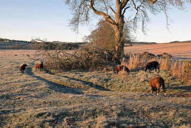
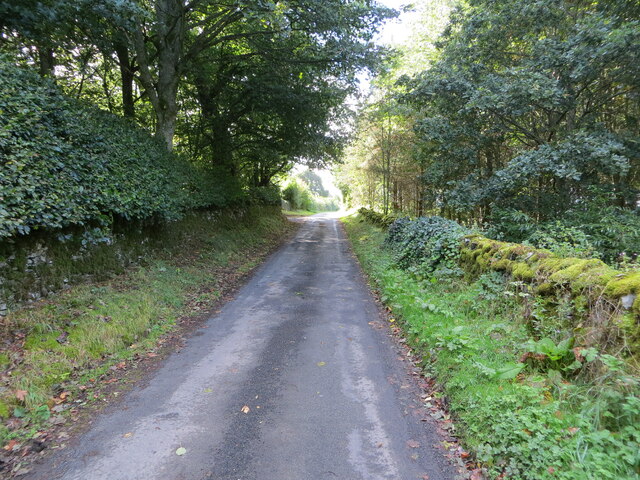
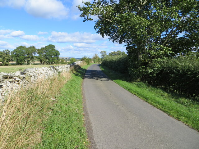
Bowden Common

Downs, Moorland in Roxburghshire

Scotland

Bowden Common

Winter farmland near Bowden This early morning view with a touch of frost on the ground was taken from the B6359.
Winter farmland near Bowden Credit: Walter Baxter

Bowden Common is a picturesque area located in the county of Roxburghshire, which lies in the southern part of Scotland. Known for its stunning downs and moorland landscapes, Bowden Common offers visitors a tranquil and scenic retreat.

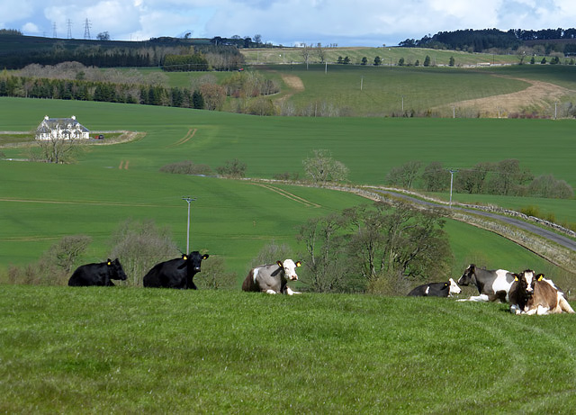
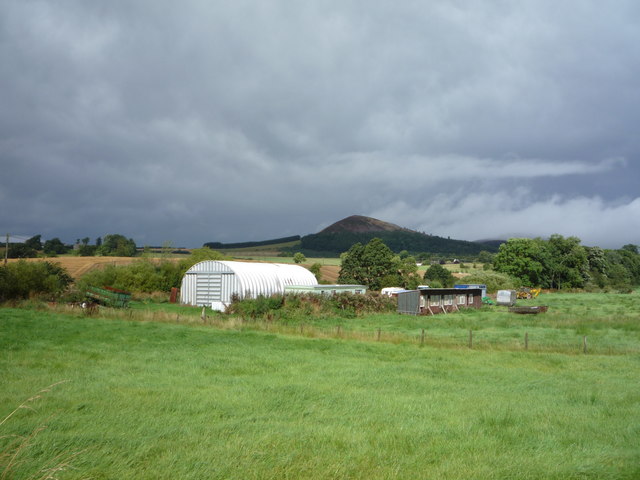
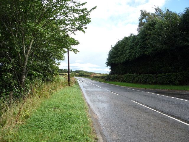
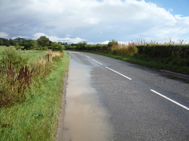
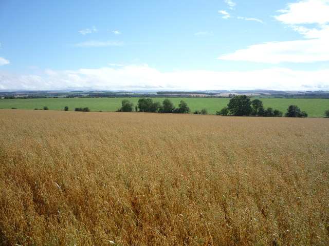
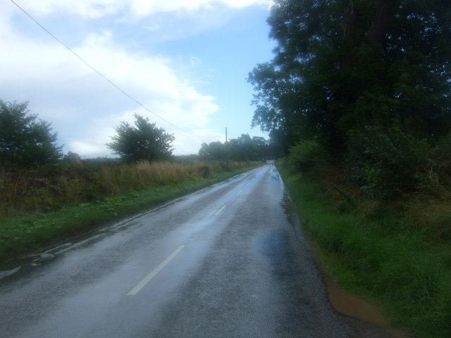
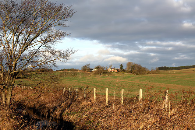
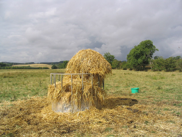
The downs of Bowden Common are characterized by their rolling hills and expansive grasslands. These downs are a haven for outdoor enthusiasts, with ample opportunities for hiking, walking, and picnicking. Visitors can enjoy breathtaking views of the surrounding countryside, with the peaks of nearby hills visible on the horizon.

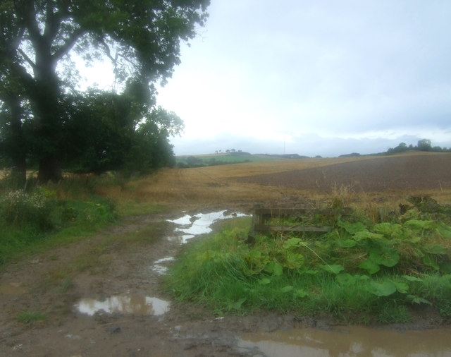
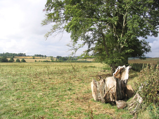
The moorland in Bowden Common is a unique feature of this area. Covered in heather and bracken, the moorland provides a rich habitat for a variety of flora and fauna. Birdwatchers will be delighted by the diverse range of species that call this area home, including curlews, lapwings, and merlins.

Bowden Common is also steeped in history. The remains of ancient settlements and burial sites can be found scattered throughout the area, providing a glimpse into the past. Additionally, the common is home to several archaeological features, including standing stones and stone circles, adding to its cultural significance.

Whether it's exploring the downs, admiring the moorland, or delving into the area's history, Bowden Common offers a captivating experience for nature lovers and history enthusiasts alike. With its natural beauty and rich heritage, Bowden Common is a true gem in the heart of Roxburghshire.

If you have any feedback on the listing, please let us know in the comments section below.

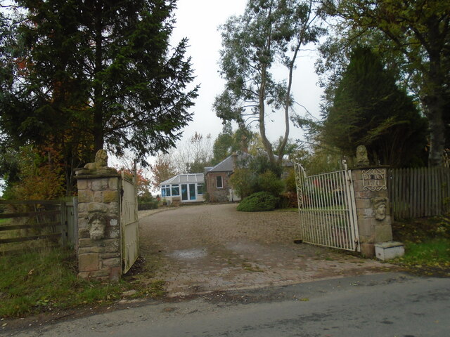
Bowden Common Images

Images are sourced within 2km of 55.56904/-2.7228409 or Grid Reference NT5430. Thanks to Geograph Open Source API. All images are credited.

Winter farmland near Bowden This early morning view with a touch of frost on the ground was taken from the B6359.
Winter farmland near Bowden
This early morning view with a touch of frost on the ground was taken from the B6359.
A frosted spider’s web The web was on a metal gate to this field <a href="https://www.geograph.org.uk/photo/7052191">NT5429 : Winter farmland near Bowden</a>.
A frosted spider’s web
The web was on a metal gate to this field NT5429 : Winter farmland near Bowden.
Wall and tree enclosed minor road near Eastfield Looking south-westward.
Wall and tree enclosed minor road near Eastfield
Looking south-westward.
Minor road near to Eastfield Looking north-eastward.
Minor road near to Eastfield
Looking north-eastward.
Old toll house The entrance to the old tollhouse, Bowden Toll.
Old toll house
The entrance to the old tollhouse, Bowden Toll.
Farmland at Eastfield The livestock in the field was viewed from a minor road to Midlem.
Farmland at Eastfield
The livestock in the field was viewed from a minor road to Midlem.
Farm buildings, Bowden View towards the Eildon Hills.
Just after a heavy downpour.
Farm buildings, Bowden
View towards the Eildon Hills. Just after a heavy downpour.
Road junction near Hillview The B6359 meets the A699.
Road junction near Hillview
The B6359 meets the A699.
A699 towards Kelso Looking north east.
A699 towards Kelso
Looking north east.
Water beside the A699 Just after a heavy downpour.
Water beside the A699
Just after a heavy downpour.
Crop field near Northfield
Field entrance off the B6359
Looking south east on the B6359
Farmland at Bowden Faughhill Farm is in the background.
Farmland at Bowden
Faughhill Farm is in the background.
Former tollhouse Surveyed by the Milestone Society.   On the A699, Selkirk to Kelso, cross roads with the B6359, Hawick to Melrose, at the south west corner.   Known as Bowden Stand Dam, a George Brown was the toll keeper sometime in the mid 1800s.  He was an ancestor of the photographer. This picture shows the blocked up hatch where the tolls were taken.
Former tollhouse
Surveyed by the Milestone Society. On the A699, Selkirk to Kelso, cross roads with the B6359, Hawick to Melrose, at the south west corner. Known as Bowden Stand Dam, a George Brown was the toll keeper sometime in the mid 1800s. He was an ancestor of the photographer. This picture shows the blocked up hatch where the tolls were taken.
Driveway, Kippilaw A gateway off the B6359 south of Bowden
Driveway, Kippilaw
A gateway off the B6359 south of Bowden
Pasture Field and Trees
Cattle Feeding Station
Show me another place!

Bowden Common is located at Grid Ref: NT5430 (Lat: 55.56904, Lng: -2.7228409)

Unitary Authority: The Scottish Borders

Police Authority: The Lothians and Scottish Borders

What 3 Words

///bits.pity.heaven. Near Melrose, Scottish Borders

Nearby Locations

Faughill Bowden Common

Related Wikis

Castle Holydean

Holydean Castle (pronounced "hollydeen") was a castle sited near Melrose in Bowden, 1.25 miles SW of the village, in the Scottish Borders region of Scotland...

Bowden, Scottish Borders

Bowden is a village in the Roxburghshire area of the Scottish Borders, situated 3 miles (5 kilometres) south of Melrose, 2 miles (3 kilometres) west of...

Eildon Hill

Eildon Hill lies just south of Melrose, Scotland in the Scottish Borders, overlooking the town. The name is usually pluralised into "the Eildons" or "Eildon...

Eildon Hall (Scottish Borders)

Eildon Hall, near St Boswells, Roxburghshire, is one of the houses belonging to the Dukes of Buccleuch and Queensbury. It is located at the foot of Eildon...
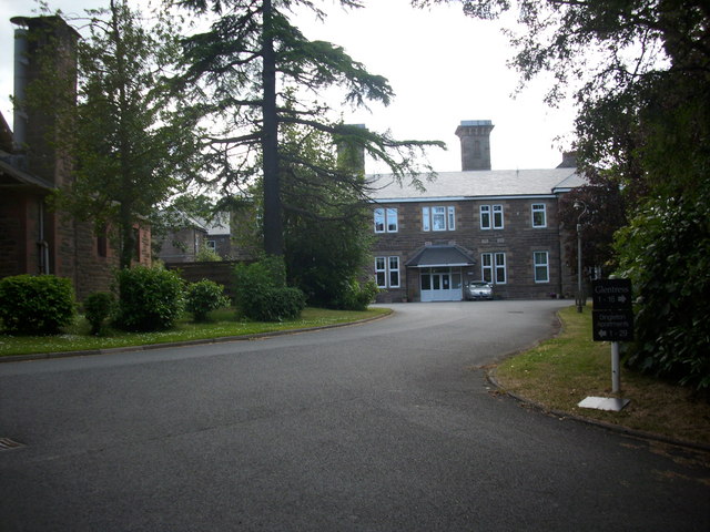
Dingleton Hospital

Dingleton Hospital was a mental health facility in Melrose, Scotland. The former boiler house is a Category B listed building. == History == The hospital...

Melrose railway station

Melrose railway station served the town of Melrose, Roxburghshire, Scotland from 1849 to 1969 on the Waverley Route. == History == The station opened on...

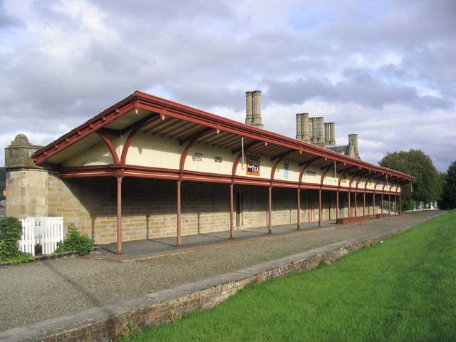
Corn Exchange, Melrose

The Corn Exchange is a commercial building in the Market Square in Melrose, Scottish Borders, Scotland. The structure, which is now used as a public events...

Newtown St Boswells

Newtown St Boswells (Scots: Newtoon; Scottish Gaelic: Baile Ùr Bhoisil [ˈpaləˈuːɾˈvɔʃɪl]) is a village in the Scottish Borders council area, in south-east...

Nearby Amenities

Located within 500m of 55.56904,-2.7228409
Faughhill
Place: hamlet
Lat/Long: 55.565839/-2.7204483
Noexit: yes
Lat/Long: 55.5655536/-2.7212296
Longleefoot
Place: hamlet
Lat/Long: 55.5705836/-2.7299719
Power: pole
Lat/Long: 55.5674243/-2.7292845
Power: pole
Lat/Long: 55.5678884/-2.7284396
Power: pole
Lat/Long: 55.5683752/-2.7275249
Power: pole
Lat/Long: 55.5681839/-2.7268426
Power: pole
Lat/Long: 55.5678315/-2.7255884
Power: pole
Lat/Long: 55.5674978/-2.7243492
Power: pole
Lat/Long: 55.567163/-2.7231207
Power: pole
Lat/Long: 55.5669079/-2.7221847
Power: pole
Lat/Long: 55.566644/-2.7212486
Power: pole
Lat/Long: 55.5661469/-2.7194716
Power: pole
Lat/Long: 55.5657597/-2.7180943
Power: pole
Lat/Long: 55.5698364/-2.7303171
Power: pole
Lat/Long: 55.5693875/-2.7295017
Power: pole
Lat/Long: 55.568928/-2.7286676
Power: pole
Lat/Long: 55.5684502/-2.7278039
Power: pole
Lat/Long: 55.5676192/-2.7156454
Power: pole
Lat/Long: 55.5670868/-2.7165373
Power: pole
Lat/Long: 55.5667797/-2.7175042
Power: pole
Lat/Long: 55.5664631/-2.7184953
Power: pole
Lat/Long: 55.5663998/-2.7203567
The data included in this document is from www.openstreetmap.org. The data is made available under ODbL.

Have you been to Bowden Common?

Leave your review of Bowden Common below (or comments, questions and feedback).