Buckstruther Moss

Downs, Moorland in Roxburghshire

Scotland

Buckstruther Moss

Grazing, Hawthornside Height
Grazing, Hawthornside Height Credit: JThomas

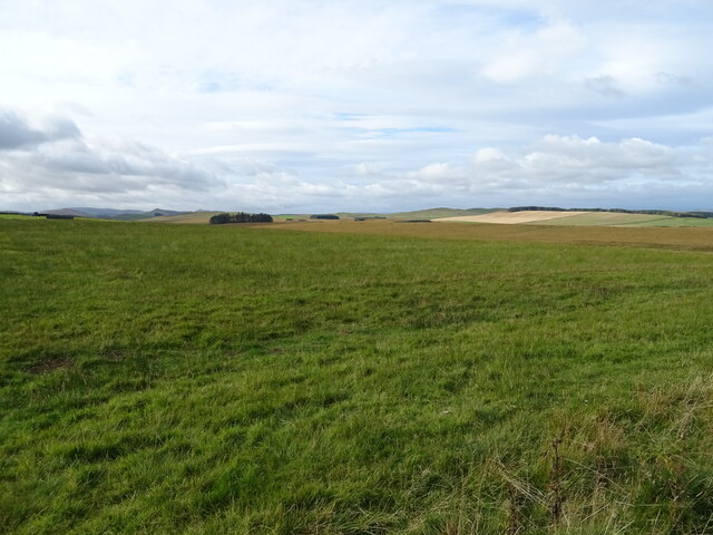
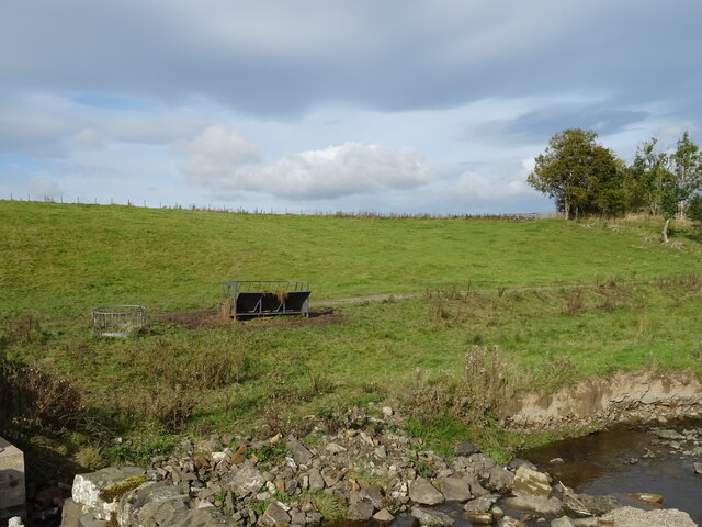
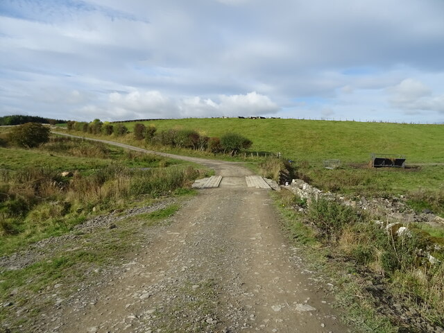
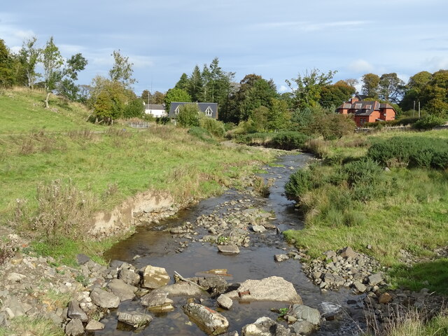
Buckstruther Moss is a picturesque area located in Roxburghshire, Scotland. It is renowned for its stunning downs and moorland landscapes, which attract nature enthusiasts and hikers alike. The moss is situated within the Scottish Borders region, offering a tranquil and idyllic setting for visitors to immerse themselves in nature.

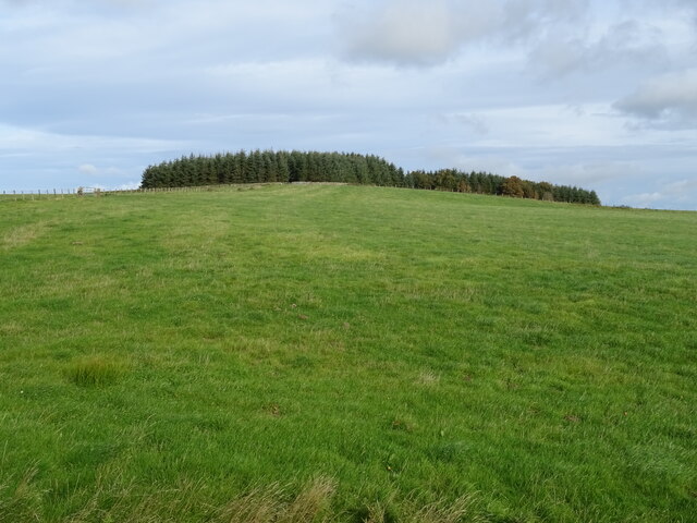
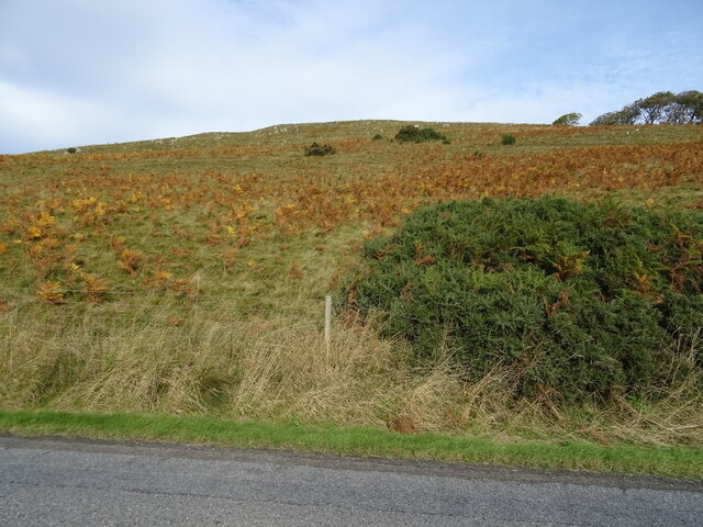
Stretching over an expansive area, Buckstruther Moss showcases a diverse range of flora and fauna. Its downs are characterized by extensive grasslands, which provide a habitat for a variety of plant species, including heather, bracken, and wildflowers. These vibrant colors create a captivating sight, particularly during the summer months.

The moorland in Buckstruther Moss is equally remarkable, with its rugged terrain and open spaces. It is home to numerous bird species, such as grouse, curlew, and lapwing, making it a popular spot for birdwatchers. The moorland also offers a chance to spot other wildlife, including red deer, rabbits, and foxes, adding to the area's natural charm.

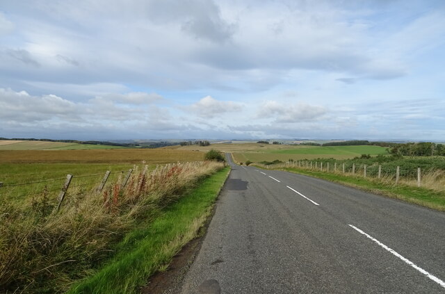
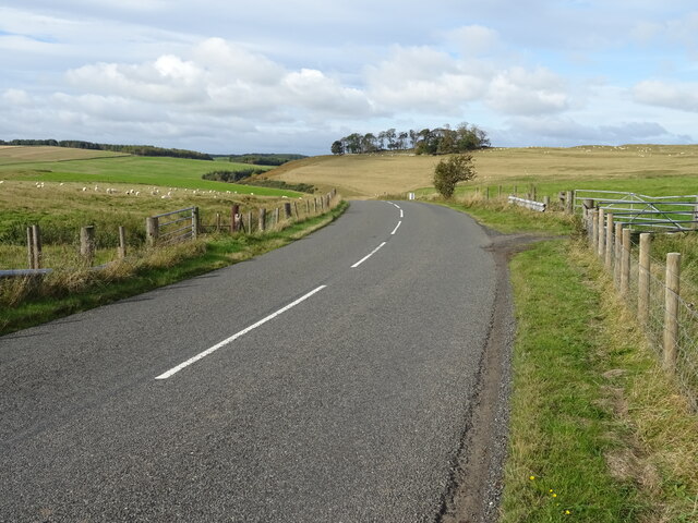
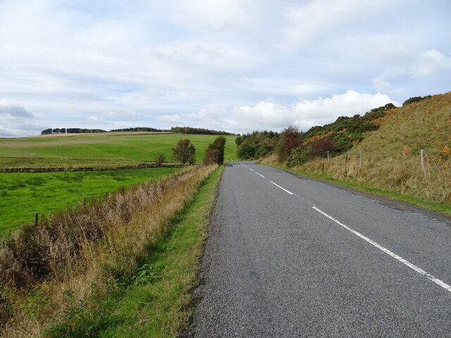
Visitors to Buckstruther Moss can explore its beauty through a network of walking trails, allowing them to fully appreciate the stunning surroundings. The trails offer varying levels of difficulty, catering to both leisurely strolls and more adventurous hikes. Along the way, visitors can enjoy breathtaking views of the Scottish countryside, making it a truly unforgettable experience.

Overall, Buckstruther Moss in Roxburghshire, with its downs and moorland, is a captivating destination for nature lovers, offering a chance to escape the hustle and bustle of everyday life and immerse oneself in the tranquility of the Scottish Borders.

If you have any feedback on the listing, please let us know in the comments section below.

Buckstruther Moss Images

Images are sourced within 2km of 55.400337/-2.7269267 or Grid Reference NT5412. Thanks to Geograph Open Source API. All images are credited.

Grazing, Hawthornside Height
A6088 towards Hawick
Hillside grazing towards Henlaw Plantation Off the A6088.
Hillside grazing towards Henlaw Plantation
Off the A6088.
Bend in the A6088 towards Hawick
Hillside grazing above the A6088
A6088 towards Hawick
Grazing, Kirkton
Grazing, Kirkton
Farm track over the Kirkton Burn
The Kirkton Burn
The Kirkton Burn
Triangulation pillar on Hawthornside Hill Sited at 287 metres above sea level, it is reached by an easy walk from the nearby minor road.  The vista is extensive; the Eildon Hills can be noted in the distance, right of shot.

This photograph was taken during the Coronavirus (COVID-19) pandemic of 2020/21/22.
Triangulation pillar on Hawthornside Hill
Sited at 287 metres above sea level, it is reached by an easy walk from the nearby minor road. The vista is extensive; the Eildon Hills can be noted in the distance, right of shot. This photograph was taken during the Coronavirus (COVID-19) pandemic of 2020/21/22.
Three HF/DF tower bases at the former Hawthornside Radio Station The remains of three HF/DF tower bases can be noted at Hawthornside Hill, the demolished example in the foreground together with two others to the left and right of shot in the distance.  Hawthornside Hill triangulation pillar can be noted to the far left of this image.

This photograph was taken during the Coronavirus (COVID-19) pandemic of 2020/21/22.
Three HF/DF tower bases at the former Hawthornside Radio Station
The remains of three HF/DF tower bases can be noted at Hawthornside Hill, the demolished example in the foreground together with two others to the left and right of shot in the distance. Hawthornside Hill triangulation pillar can be noted to the far left of this image. This photograph was taken during the Coronavirus (COVID-19) pandemic of 2020/21/22.
Standing HF/DF tower bases at Hawthornside Hill A view of the two standing HF/DF tower bases at the Hawthornside Hill site.  The base in the foreground is in better condition.  The Eildon Hills are conspicuous in the distance.

This photograph was taken during the Coronavirus (COVID-19) pandemic of 2020/21/22.
Standing HF/DF tower bases at Hawthornside Hill
A view of the two standing HF/DF tower bases at the Hawthornside Hill site. The base in the foreground is in better condition. The Eildon Hills are conspicuous in the distance. This photograph was taken during the Coronavirus (COVID-19) pandemic of 2020/21/22.
Building remains, Hawthornside Hill Radio Station These remains are located within an area in the shape of '+' which is depicted on the 1:25k mapping and is evident in aerial photography of the site.  This appears to be a ditched enclosure, the ditch perhaps acting as a firebreak.  One of the three HF/DF tower bases can be seen left of centre in the middle distance.  Rubers Law is conspicuous to the far right of the image.

This photograph was taken during the Coronavirus (COVID-19) pandemic of 2020/21/22.
Building remains, Hawthornside Hill Radio Station
These remains are located within an area in the shape of '+' which is depicted on the 1:25k mapping and is evident in aerial photography of the site. This appears to be a ditched enclosure, the ditch perhaps acting as a firebreak. One of the three HF/DF tower bases can be seen left of centre in the middle distance. Rubers Law is conspicuous to the far right of the image. This photograph was taken during the Coronavirus (COVID-19) pandemic of 2020/21/22.
A former Hawthornside Hill Radio Station building Now serving as storage and a shelter for sheep, there is evidence that equipment was mounted on concrete blocks on the floor within this building.  There may have been other structures adjoining the far side of the building, the remnants of which, including safety glass, can be found.

This photograph was taken during the Coronavirus (COVID-19) pandemic of 2020/21/22.
A former Hawthornside Hill Radio Station building
Now serving as storage and a shelter for sheep, there is evidence that equipment was mounted on concrete blocks on the floor within this building. There may have been other structures adjoining the far side of the building, the remnants of which, including safety glass, can be found. This photograph was taken during the Coronavirus (COVID-19) pandemic of 2020/21/22.
The northernmost HF/DF tower base, Hawthornside Hill Of the two bases still standing, this one is in poorest condition, as can be discerned in this shot which displays ample evidence of dislodged brickwork.  Rubers Law is in the background to the right.

This photograph was taken during the Coronavirus (COVID-19) pandemic of 2020/21/22.
The northernmost HF/DF tower base, Hawthornside Hill
Of the two bases still standing, this one is in poorest condition, as can be discerned in this shot which displays ample evidence of dislodged brickwork. Rubers Law is in the background to the right. This photograph was taken during the Coronavirus (COVID-19) pandemic of 2020/21/22.
Within a HF/DF tower base, Hawthornside Hill Note the remaining woodwork on the far wall and the anchoring bolts in the concrete base.

This photograph was taken during the Coronavirus (COVID-19) pandemic of 2020/21/22.
Within a HF/DF tower base, Hawthornside Hill
Note the remaining woodwork on the far wall and the anchoring bolts in the concrete base. This photograph was taken during the Coronavirus (COVID-19) pandemic of 2020/21/22.
Deteriorating brickwork in the HF/DF tower base The brickwork of this base on Hawthornside Hill is rapidly deteriorating due to eight decades of bombardment by the weather at this exposed location.

This photograph was taken during the Coronavirus (COVID-19) pandemic of 2020/21/22.
Deteriorating brickwork in the HF/DF tower base
The brickwork of this base on Hawthornside Hill is rapidly deteriorating due to eight decades of bombardment by the weather at this exposed location. This photograph was taken during the Coronavirus (COVID-19) pandemic of 2020/21/22.
HF/DF tower base at Hawthornside Hill Hawthornside Hill is an exposed site overlooking the undulating Roxburghshire countryside.  Note the entrance to the base at the right side of the structure.

This photograph was taken during the Coronavirus (COVID-19) pandemic of 2020/21/22.
HF/DF tower base at Hawthornside Hill
Hawthornside Hill is an exposed site overlooking the undulating Roxburghshire countryside. Note the entrance to the base at the right side of the structure. This photograph was taken during the Coronavirus (COVID-19) pandemic of 2020/21/22.
Show me another place!

Buckstruther Moss is located at Grid Ref: NT5412 (Lat: 55.400337, Lng: -2.7269267)

Unitary Authority: The Scottish Borders

Police Authority: The Lothians and Scottish Borders

What 3 Words

///sulky.socialite.massive. Near Hawick, Scottish Borders

Related Wikis

Kirkton, Scottish Borders

Kirkton is a village in the Scottish Borders area of Scotland, off the A6088, near Hawick. Grid Ref. NT5413. It is a former parish, amalgamated into the...

Cavers Castle

Cavers Castle, also known as Cavers House, is a ruined tower house located at Cavers, Scottish Borders, Scotland. Cavers Castle was a much extended tower...

Cavers, Scottish Borders

Cavers is a parish in the Scottish Borders area of Scotland, in the former county of Roxburghshire, south and east of Hawick. The largest village in the...

Slitrig Water

Slitrig Water (archaic Scots: Slitterick Waiter; current Southern Scots: Slitrig Witter), also known as the River Slitrig, is a river in the Scottish Borders...

Stobs railway station

Stobs railway station served the hamlet of Barnes, Scottish Borders, Scotland from 1862 to 1969 on the Border Union Railway. == History == The station...

Mansfield Park, Hawick

Mansfield Park is a rugby union ground in Hawick, Scotland, with a capacity of approximately 5,000. It is the home of Hawick Rugby Football Club, who currently...

Hawick

Hawick ( HOYK; Scots: Haaick; Scottish Gaelic: Hamhaig) is a town in the Scottish Borders council area and historic county of Roxburghshire in the east...

Hawick Town Hall

Hawick Town Hall is a municipal building in the High Street, Hawick, Scotland. The structure, which served as the meeting place of Hawick Burgh Council...

Nearby Amenities

Located within 500m of 55.400337,-2.7269267
Power: pole
Lat/Long: 55.4009424/-2.7192717
Power: pole
Lat/Long: 55.400201/-2.7195033
The data included in this document is from www.openstreetmap.org. The data is made available under ODbL.

Have you been to Buckstruther Moss?

Leave your review of Buckstruther Moss below (or comments, questions and feedback).