Braes of Avochie
Downs, Moorland in Aberdeenshire
Scotland
Braes of Avochie

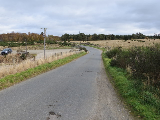
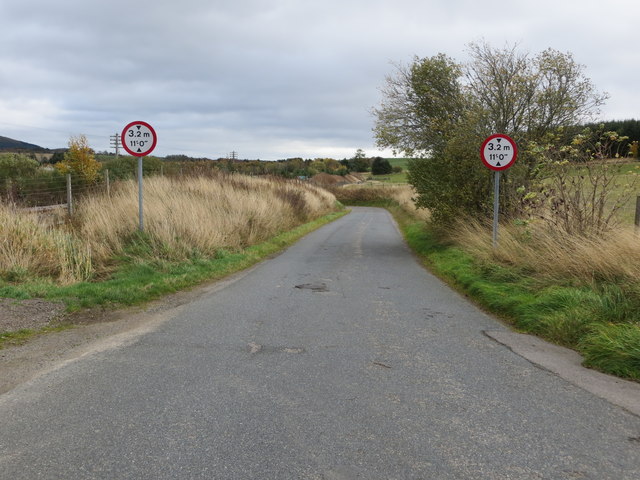
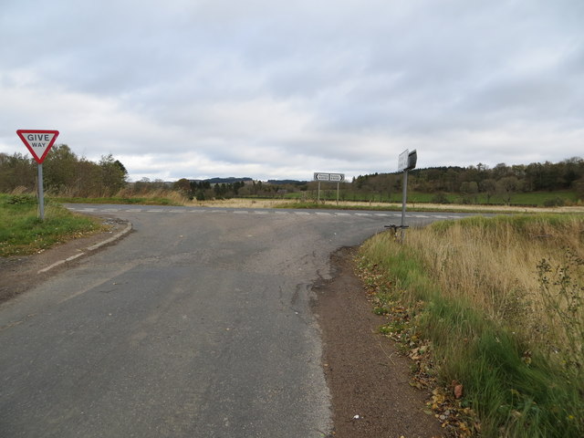
The Braes of Avochie is a picturesque area located in Aberdeenshire, Scotland. It is characterized by its gently rolling downs and expansive moorland, offering visitors a unique and scenic landscape to explore. The area is nestled between the towns of Turriff and Aberchirder, making it easily accessible for locals and tourists alike.
The downs of Braes of Avochie are a prominent feature, with their undulating slopes and vibrant greenery. These downs provide a beautiful backdrop for outdoor activities such as walking, hiking, and birdwatching. Visitors can take leisurely strolls along the well-maintained paths, enjoying the breathtaking views of the surrounding countryside.
The moorland of Braes of Avochie offers a different experience, with its vast expanse of heather-covered terrain. This rugged landscape is home to a variety of wildlife, including red grouse, curlews, and golden plovers. Nature enthusiasts can explore the moorland on foot, immersing themselves in the tranquility and natural beauty of the area.
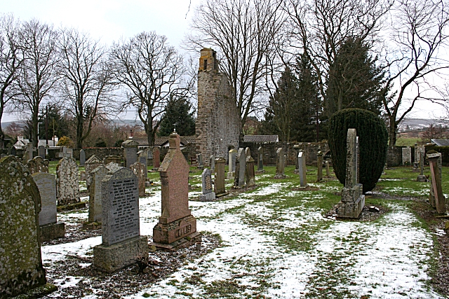
In addition to its natural wonders, Braes of Avochie also boasts historical significance. The area is dotted with remnants of old settlements and archaeological sites, offering a glimpse into its rich past. Visitors can delve into the history of the region, uncovering the stories and traditions of those who once inhabited this land.
Overall, the Braes of Avochie in Aberdeenshire is a captivating destination that combines stunning natural landscapes with a rich cultural heritage. Whether it's enjoying a peaceful walk along the downs or discovering the secrets of the moorland, visitors are sure to be enchanted by the beauty and charm of this remarkable area.
If you have any feedback on the listing, please let us know in the comments section below.
Braes of Avochie Images
Images are sourced within 2km of 57.506218/-2.7799202 or Grid Reference NJ5346. Thanks to Geograph Open Source API. All images are credited.


Braes of Avochie is located at Grid Ref: NJ5346 (Lat: 57.506218, Lng: -2.7799202)
Unitary Authority: Aberdeenshire
Police Authority: North East
What 3 Words
///cubes.chucks.pocketed. Near Huntly, Aberdeenshire
Nearby Locations
Related Wikis

Avochie Castle
Avochie Castle is a ruined tower house, dating from the 16th century, or early 17th century, around 4.5 miles (7.2 km) north of Huntly, east of the river...

Rothiemay railway station
Rothiemay railway station served the village of Milltown of Rothiemay, Aberdeenshire, Scotland from 1856 to 1968 on the Great North of Scotland Railway...

River Isla, Moray
The River Isla (Scottish Gaelic: Uisge Ìle) is a tributary of the River Deveron in North-East Scotland. The area surrounding it is known as Strathisla...
Ruthven, Aberdeenshire
Ruthven (, Gaelic: Ruadhainn), Aberdeenshire is a village in Scotland near Huntly (to the south east), and Keith (to the north west). It is traditionally...

Milltown of Rothiemay
Milltown of Rothiemay (Scottish Gaelic: Ràth a' Mhuigh) is a small inland village, built mostly of granite, in the north-east of Scotland and is within...

Mountains Burn
Mountains Burn is a burn which marks the boundary of the parish of Huntly, Aberdeenshire, Scotland. == References ==
Daugh Castle
Daugh Castle was a castle, about 5 miles (8.0 km) north of Huntly, Aberdeenshire, Scotland, near Cairnie Burn. It was also known as Castle of the Daach...
Auchanachie Castle
Auchanachie Castle, also known as Achanachie Castle or Auchanachy Castle, is a tower house dating from the sixteenth century, 5 miles north-west of Huntly...
Nearby Amenities
Located within 500m of 57.506218,-2.7799202Have you been to Braes of Avochie?
Leave your review of Braes of Avochie below (or comments, questions and feedback).