Butt Moor

Downs, Moorland in Somerset Mendip

England

Butt Moor

Kennard Moor and Glastonbury Tor from NCN26 A view of Kennard Moor, with Glastonbury Tor in the distance, photographed from NCN26 Kennard Moor Drove.
Kennard Moor and Glastonbury Tor from NCN26 Credit: Kevin Pearson

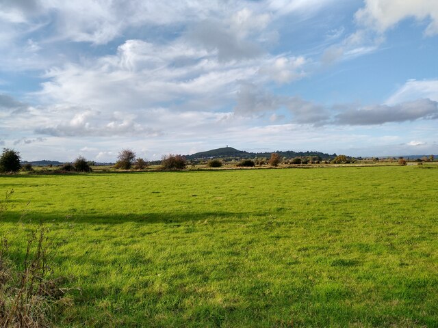
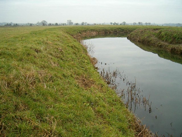
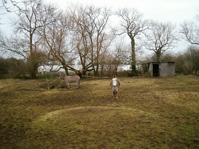
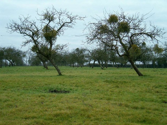
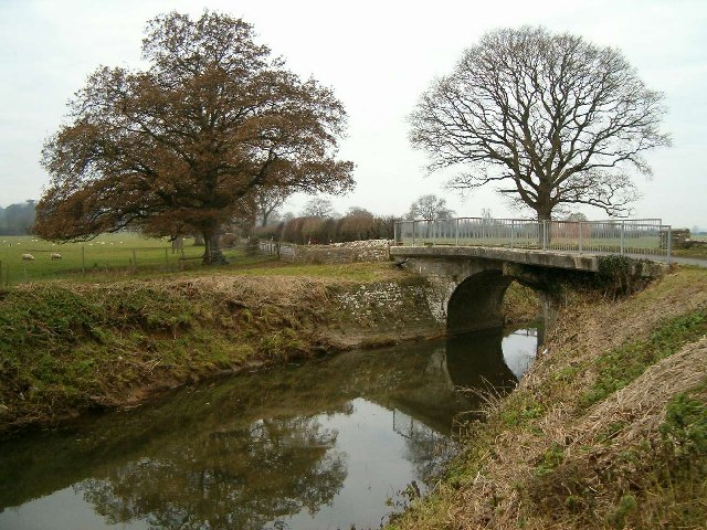
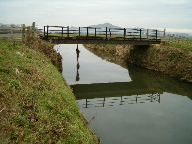
Butt Moor, located in Somerset, England, is a picturesque area encompassing downs and moorland. The moor is situated approximately 2 miles southwest of the town of Frome, and it covers an area of around 200 acres. The landscape is characterized by rolling hills, open grassland, and patches of dense woodland.

The moor is a valuable habitat for a variety of wildlife, including birds, insects, and small mammals. It is particularly known for its diverse bird population, with several species of raptors, such as kestrels and buzzards, frequently spotted soaring above the moorland. The grassland areas are rich in wildflowers, attracting butterflies and bees during the warmer months.

Visitors to Butt Moor can enjoy the tranquility of the countryside and take advantage of the numerous walking trails that crisscross the area. The paths offer stunning views of the surrounding countryside, including the nearby Mendip Hills. It is a popular spot for nature lovers, hikers, and dog walkers, providing a peaceful escape from the hustle and bustle of nearby towns.

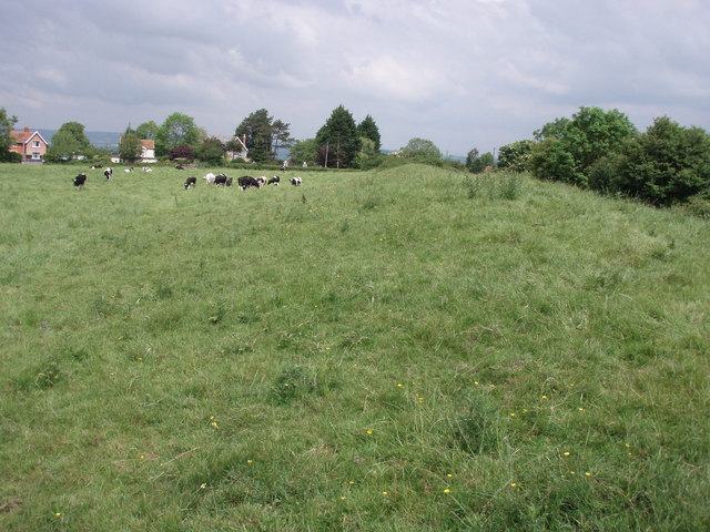
Historically, Butt Moor has been utilized for agriculture, including grazing livestock. Today, it is managed by local authorities to preserve its natural beauty and protect its ecological significance. The moor is also an important part of the local cultural heritage, with various archaeological sites, including Bronze Age tumuli, scattered across the landscape.

Overall, Butt Moor in Somerset offers a unique blend of natural beauty, wildlife diversity, and recreational opportunities, making it a cherished destination for both locals and visitors seeking a tranquil escape in the heart of the English countryside.

If you have any feedback on the listing, please let us know in the comments section below.

Butt Moor Images

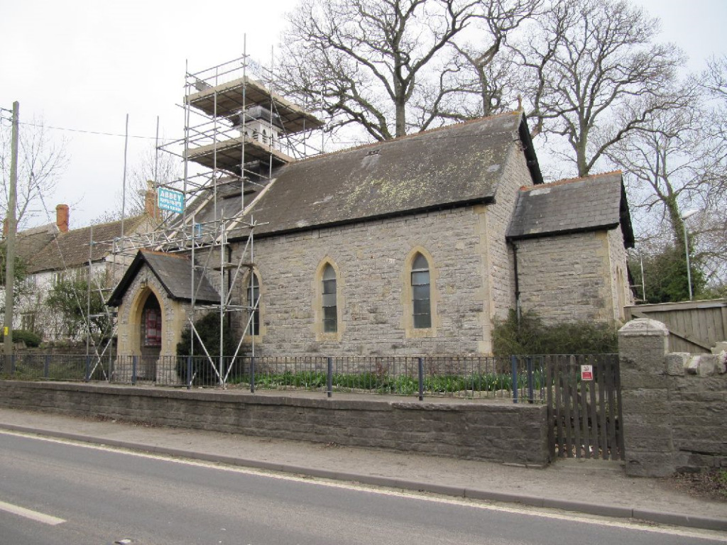
Images are sourced within 2km of 51.120951/-2.6758729 or Grid Reference ST5235. Thanks to Geograph Open Source API. All images are credited.

Kennard Moor and Glastonbury Tor from NCN26 A view of Kennard Moor, with Glastonbury Tor in the distance, photographed from NCN26 Kennard Moor Drove.
Kennard Moor and Glastonbury Tor from NCN26
A view of Kennard Moor, with Glastonbury Tor in the distance, photographed from NCN26 Kennard Moor Drove.
River Brue at Kennard Moor
The Ecohouse
The Ecohouse
Manor Farm
Manor Farm
Donkeys at West Town, Baltonsborough
Christmas Mistletoe A traditional apple orchard in the heart of Somerset.
Christmas Mistletoe
A traditional apple orchard in the heart of Somerset.
The Greyhound Inn, Baltonsborough
Clerks Cottage This small cottage, in local vernacular and built of lias stone, lies beside the churchyard.
Clerks Cottage
This small cottage, in local vernacular and built of lias stone, lies beside the churchyard.
War Memorial
War Memorial
Palm Trees in Somerset
New Village Hall and Primary School
St Dunstan's Church The church dates from the fifteenth century and is a complete work of one period.
Both nave and chancel have waggon roofs of rather low pitch and are covered externally with stone tiles.
The chancel roof has three purlins, the side purlins being nearer to the walls than the centre line of the roof. There is a rich wall plate with three hollow mouldings, each containing carved paterae or leaf ornaments, with an angel at the spring of each base. There are carved bosses at the intersections of the ribs.
The nave roof is similar, except that the wall plate is plain and without angels. At its eastern side, however, there is an interesting and valuable enriched section with eleven short purlins dividing this section into twenty four small rectangular compartments. The reason for this particular enrichment is the desire to form a kind of canopy of honour over the great Rood and its accompanying figures, which stood on a loft on the screen. The existing screen is modern.
The above is an extract from a report written on the church in 1922.
St Dunstan's Church
The church dates from the fifteenth century and is a complete work of one period. Both nave and chancel have waggon roofs of rather low pitch and are covered externally with stone tiles. The chancel roof has three purlins, the side purlins being nearer to the walls than the centre line of the roof. There is a rich wall plate with three hollow mouldings, each containing carved paterae or leaf ornaments, with an angel at the spring of each base. There are carved bosses at the intersections of the ribs. The nave roof is similar, except that the wall plate is plain and without angels. At its eastern side, however, there is an interesting and valuable enriched section with eleven short purlins dividing this section into twenty four small rectangular compartments. The reason for this particular enrichment is the desire to form a kind of canopy of honour over the great Rood and its accompanying figures, which stood on a loft on the screen. The existing screen is modern. The above is an extract from a report written on the church in 1922.
Font in St Dunstan's Church
Mill Leat at Baltonsborough Taken from the churchyard of St Dunstan's Church.
Mill Leat at Baltonsborough
Taken from the churchyard of St Dunstan's Church.
New Houses On the site of the former paper mill at Baltonsborough.
New Houses
On the site of the former paper mill at Baltonsborough.
Wallyer's Bridge Over the River Brue.
Wallyer's Bridge
Over the River Brue.
Moorhouse
Moorhouse
Butt Moor Bridge Glastonbury Tor visible in the distance.
Butt Moor Bridge
Glastonbury Tor visible in the distance.
Show me another place!

Butt Moor is located at Grid Ref: ST5235 (Lat: 51.120951, Lng: -2.6758729)

Administrative County: Somerset

District: Mendip

Police Authority: Avon and Somerset

What 3 Words

///flies.radiating.documents. Near Street, Somerset

Nearby Locations

Butt Moor

Related Wikis

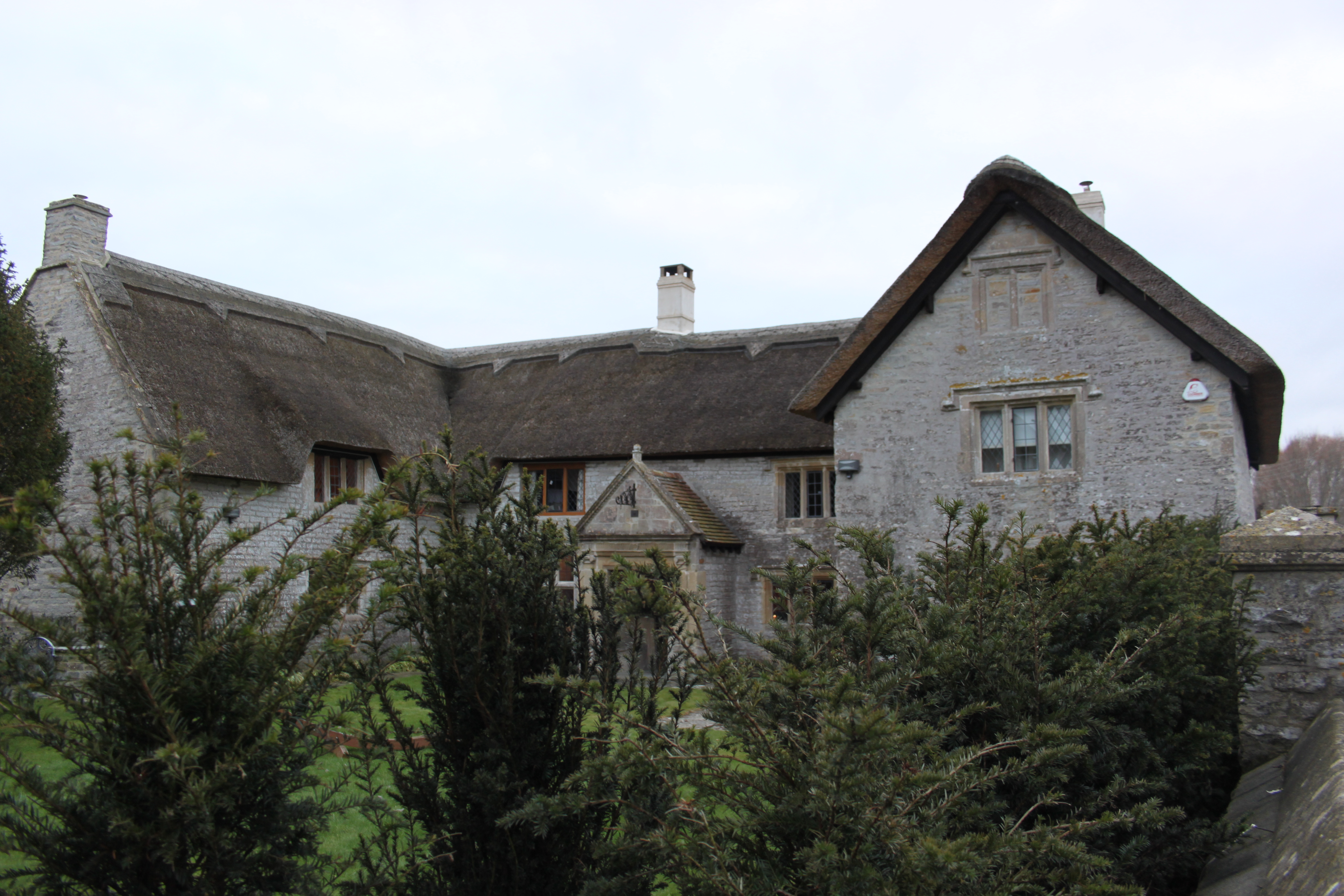
The Gatehouse, Baltonsborough

The Gatehouse in Baltonsborough, Somerset, England, is a thatched house dating from the 16th century. It has been designated a Grade I listed building...

Baltonsborough

Baltonsborough is a village and civil parish in Somerset, England. The parish had a population of 864 at the 2011 Census. As well as Baltonsborough village...

Ponter's Ball Dyke

Ponter's Ball Dyke is a linear earthwork located near Glastonbury in Somerset, England. It crosses, at right angles, an ancient road that continues on...

West Pennard Court Barn

West Pennard Court Barn (which is also known as the Court Barn, West Bradley) is a late 14th or early 15th century tithe barn which was built for Glastonbury...

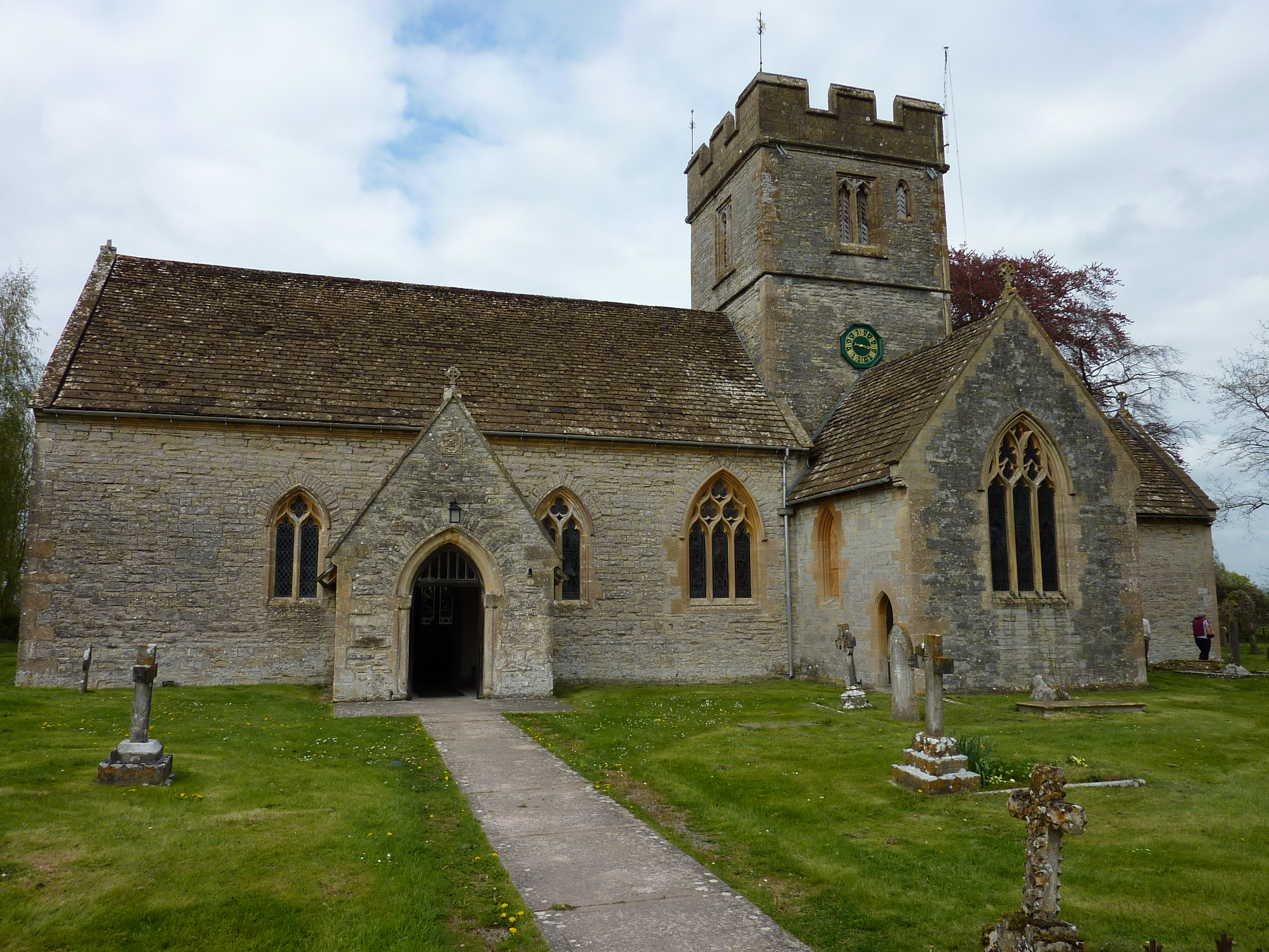
Church of St Leonard, Butleigh

The Anglican Church Of St Leonard in Butleigh, within the English county of Somerset, was built in the 14th century. It is a Grade II* listed building...

St Andrew's Church, Edgarley

St Andrew's Church is a former Church of England mission church in Edgarley, Somerset, England. It was built in 1897 and is now used as a private chapel...

Butleigh

Butleigh is a small village and civil parish, located in Somerset. The nearest village to it is Barton St David, and it is located a short distance from...

West Bradley

West Bradley is a village and civil parish 4 miles south-east of Glastonbury in Somerset, England. The parish includes the hamlets of Hornblotton and Lottisham...

Have you been to Butt Moor?

Leave your review of Butt Moor below (or comments, questions and feedback).