East Neuk of Fife

Downs, Moorland in Fife

Scotland

East Neuk of Fife

Inch Farm The hill in the background is Kellie Law.
Inch Farm Credit: James Allan

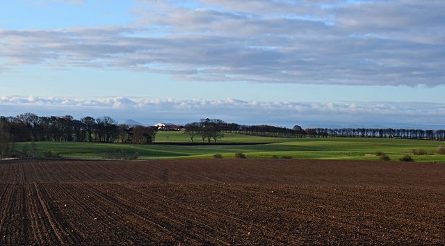
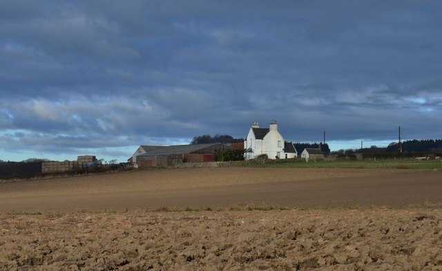
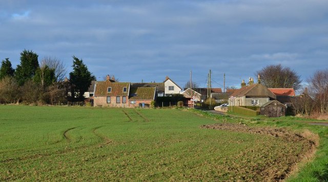
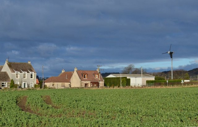
The East Neuk of Fife is a picturesque region located in the county of Fife, Scotland. It stretches along the eastern coastline of the Firth of Forth, encompassing a collection of small fishing villages and towns. The area is renowned for its stunning natural beauty, with rolling countryside, charming harbors, and beautiful sandy beaches.

The East Neuk of Fife is characterized by its traditional, whitewashed cottages with red-tiled roofs, which add to the area's unique charm. Each village has its own distinct character and attractions. Anstruther, the largest village, is home to the Scottish Fisheries Museum, where visitors can learn about the region's rich maritime heritage. Crail, the oldest and most picturesque village, is famous for its cobbled streets, historic buildings, and annual arts festival.

The region is also renowned for its excellent seafood, with many local restaurants offering freshly caught fish and shellfish. Visitors can enjoy a leisurely stroll along the coastline, taking in the stunning views and exploring the quaint harbors. The East Neuk of Fife is also a popular destination for golf enthusiasts, with several renowned golf courses in the area, including the famous Old Course in St Andrews.

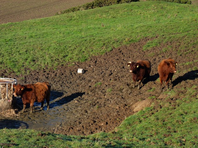
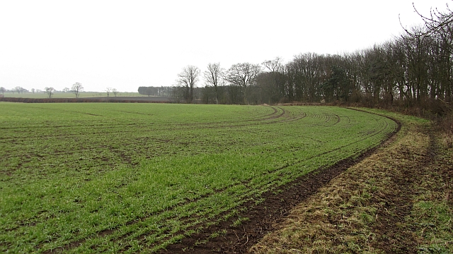
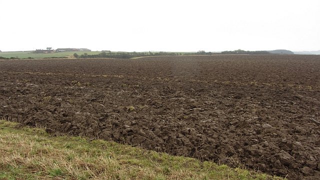
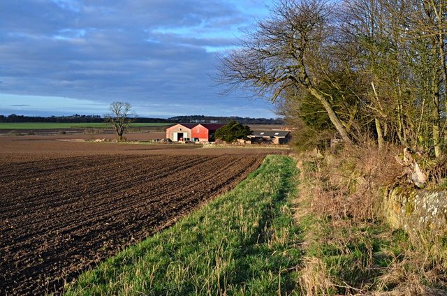
The natural beauty of the East Neuk of Fife extends beyond the coastline, with rolling downs and moorland providing ample opportunities for outdoor activities such as hiking, cycling, and birdwatching. The area is home to a diverse range of wildlife, including seabirds, seals, and even dolphins, which can often be spotted in the waters of the Firth of Forth.

Overall, the East Neuk of Fife offers a perfect blend of natural beauty, rich history, and traditional Scottish charm, making it a must-visit destination for those seeking a peaceful and idyllic getaway.

If you have any feedback on the listing, please let us know in the comments section below.

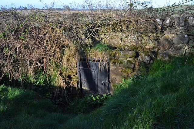
East Neuk of Fife Images

Images are sourced within 2km of 56.234957/-2.7726013 or Grid Reference NO5204. Thanks to Geograph Open Source API. All images are credited.

Inch Farm The hill in the background is Kellie Law.
Inch Farm
The hill in the background is Kellie Law.
Kellie Castle near Pittenweem Kellie castle dates from the 14th century and has a victorian garden.The castle is reputedly haunted.It was the home of Sir Robert Lorimer,the architect of the Scottish National War Memorial and Hew Lorimer,the sculptor.
 .
Kellie Castle near Pittenweem
Kellie castle dates from the 14th century and has a victorian garden.The castle is reputedly haunted.It was the home of Sir Robert Lorimer,the architect of the Scottish National War Memorial and Hew Lorimer,the sculptor. .
Temporary high-rise Straw bales in a stubble field near Kellie Castle.
Temporary high-rise
Straw bales in a stubble field near Kellie Castle.
Conical tower Detail of the roofwork at the south-western corner of Kellie Castle.
Conical tower
Detail of the roofwork at the south-western corner of Kellie Castle.
Keep your feet out the mud Cattle on the slopes of Kellie Law.
Keep your feet out the mud
Cattle on the slopes of Kellie Law.
War memorial Remembering the men from Carnbee district lost during World War 1.
War memorial
Remembering the men from Carnbee district lost during World War 1.
Yew shadow Cast on the wall of Carnbee Church.
Yew shadow
Cast on the wall of Carnbee Church.
Little used entrance Steps leading to the rear of Carnbee Church.
Little used entrance
Steps leading to the rear of Carnbee Church.
Field, Balcaskie Arable field, like most in the area with the West Strip woodland on the right.
Field, Balcaskie
Arable field, like most in the area with the West Strip woodland on the right.
Arable farmland, Comielaw View on a dismal day towards Anstruther.
Arable farmland, Comielaw
View on a dismal day towards Anstruther.
Arncroach arable Newly ploughed land on very damp day.
Arncroach arable
Newly ploughed land on very damp day.
Balcormo farm Balcormo farm from the east
Balcormo farm
Balcormo farm from the east
Doocot, Kellie Farm
Doocot, Kellie Farm
Towards Abercrombie From Balcormo farm house towards Abercrombie.
Towards Abercrombie
From Balcormo farm house towards Abercrombie.
Blinkbonny Farm Blinkbonny farm, Arnchoach, from the east
Blinkbonny Farm
Blinkbonny farm, Arnchoach, from the east
Arncroach South east end of the village
Arncroach
South east end of the village
Arncroach North east edge of village.
Arncroach
North east edge of village.
A Carnbee well One of two on the short section of road.
A Carnbee well
One of two on the short section of road.
Show me another place!

East Neuk of Fife is located at Grid Ref: NO5204 (Lat: 56.234957, Lng: -2.7726013)

Unitary Authority: Fife

Police Authority: Fife

What 3 Words

///famines.froth.baguette. Near St Monans, Fife

Related Wikis

Kellie Castle

Kellie Castle is a castle just outside Arncroach and below the dominant hill in the area, Kellie Law. It is about 4 kilometres north of Pittenweem in...

Arncroach

Arncroach is a small village situated in the east of Fife, four miles inland of the fishing village of Pittenweem and around 10 miles away from St Andrews...
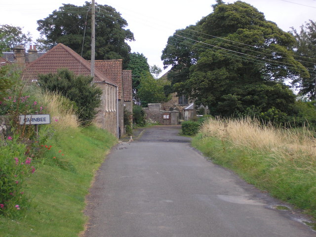
Carnbee, Fife

Carnbee is a village and rural parish in the inland part of the East Neuk of Fife, Scotland. == Location == It lies to the north of Anstruther and Pittenweem...

Abercrombie, Fife

Abercrombie (Gaelic: Obar Chrombaidh) is a village in Fife , Scotland. Abercrombie, recorded in 1157-60 as Abercrumbin, means 'mouth of the river Crombie...

Nearby Amenities

Located within 500m of 56.234957,-2.7726013
Give Way
Direction: backward
Lat/Long: 56.232859/-2.7779612
Post Box
Collection Times: Mo-Fr 09:00; Sa 07:00
Operator: Royal Mail
Post Box Mounting: stone_wall
Post Box Type: wall
Ref: KY10 176D
Royal Cypher: EVIIR
Royal Cypher Wikidata: Q33102324
Lat/Long: 56.2327006/-2.7781416
Power: pole
Lat/Long: 56.2342952/-2.7658865
Power: pole
Lat/Long: 56.233935/-2.7675419
Power: pole
Lat/Long: 56.2335446/-2.7691814
Power: pole
Lat/Long: 56.2331806/-2.7708006
Power: pole
Lat/Long: 56.2329246/-2.7721014
Power: pole
Lat/Long: 56.2326384/-2.773628
Power: pole
Lat/Long: 56.2324388/-2.7745698
Power: pole
Lat/Long: 56.2322028/-2.775656
Power: pole
Lat/Long: 56.231943/-2.7767829
Power: pole
Lat/Long: 56.2316505/-2.7780272
Power: pole
Lat/Long: 56.2363725/-2.7793484
Power: pole
Lat/Long: 56.2365118/-2.7784744
Power: pole
Lat/Long: 56.2365633/-2.7781853
Power: pole
Lat/Long: 56.2365946/-2.7780476
Power: pole
Lat/Long: 56.2365708/-2.7787409
Power: pole
Lat/Long: 56.2368218/-2.7789441
Power: pole
Lat/Long: 56.2371293/-2.7791903
Power: pole
Lat/Long: 56.2373176/-2.7793168
Power: pole
Lat/Long: 56.2377004/-2.7788538
The data included in this document is from www.openstreetmap.org. The data is made available under ODbL.

Have you been to East Neuk of Fife?

Leave your review of East Neuk of Fife below (or comments, questions and feedback).