Bomby Green

Downs, Moorland in Westmorland Eden

England

Bomby Green

Telephone Box from Withnail and I, Bampton A place of pilgrimage for fans of the film.
Telephone Box from Withnail and I, Bampton Credit: Rich Tea

Bomby Green is a picturesque village nestled in the heart of Westmorland, a historic county in the northwest of England. Situated amidst the stunning backdrop of the Downs and Moorland, this idyllic village is renowned for its natural beauty and tranquil atmosphere.

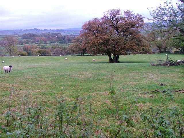
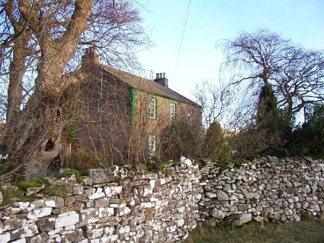
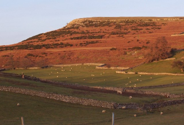
The village is characterized by its lush green fields, rolling hills, and charming stone cottages that exude a quintessentially English charm. Bomby Green is particularly popular among nature enthusiasts and outdoor adventurers, as it offers an array of walking trails and hiking routes that showcase the region's diverse flora and fauna.

The village is home to a close-knit community, and its residents take great pride in preserving the village's traditional character. The local pub, The Green Oak, serves as the social hub of the village, where villagers and visitors can unwind and enjoy a pint of locally brewed ale.

Bomby Green also boasts a rich cultural heritage, with several historical landmarks dotted throughout the area. The St. Mary's Church, a stunning medieval structure, stands as a testament to the village's long-standing history. The annual Bomby Green Fair, held every summer, is a popular event that attracts visitors from far and wide to celebrate the village's heritage.

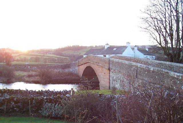
Access to Bomby Green is convenient, with regular bus services connecting it to neighboring towns and cities. The village is also within close proximity to the bustling market town of Westmorland, where visitors can explore a variety of shops, restaurants, and cultural attractions.

In summary, Bomby Green is a charming village nestled amidst the natural beauty of Westmorland's Downs and Moorland. With its picturesque landscapes, rich history, and welcoming community, it is a destination that offers a truly authentic English countryside experience.

If you have any feedback on the listing, please let us know in the comments section below.
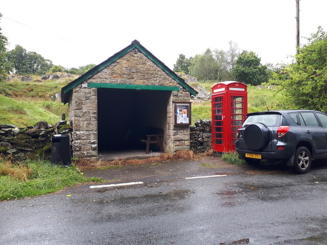
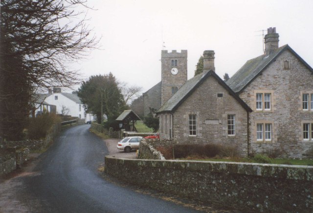
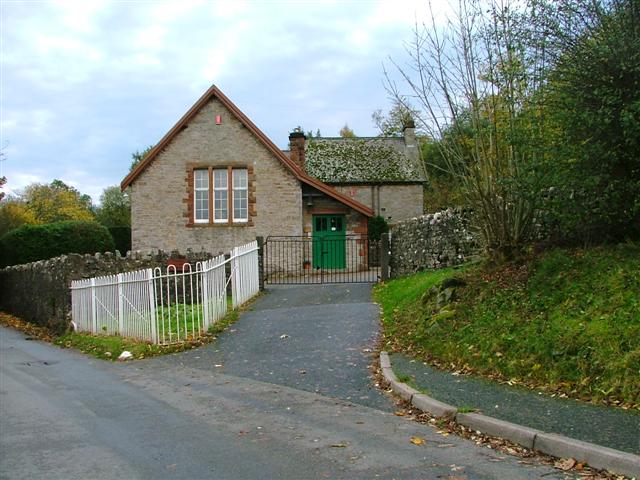
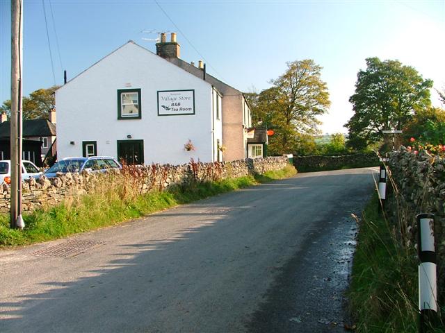
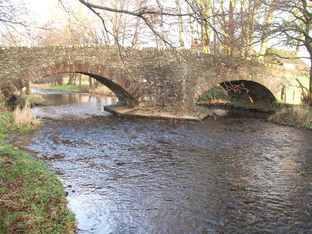
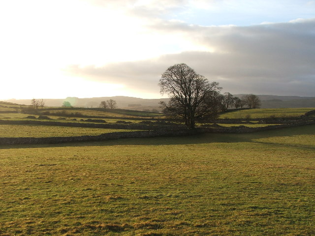
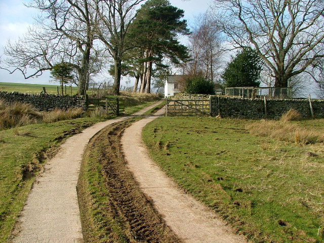
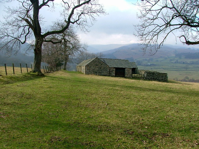
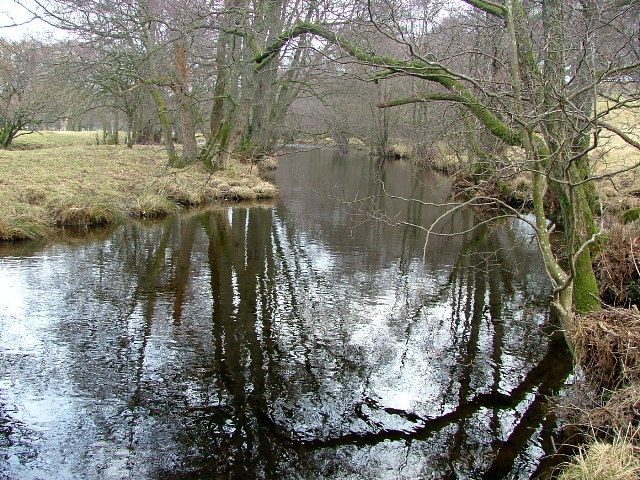
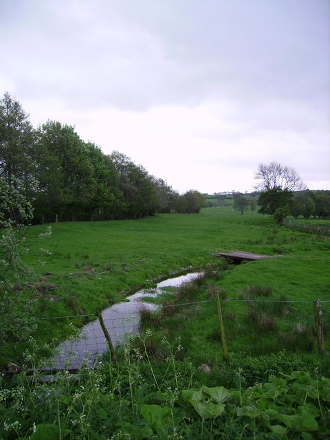
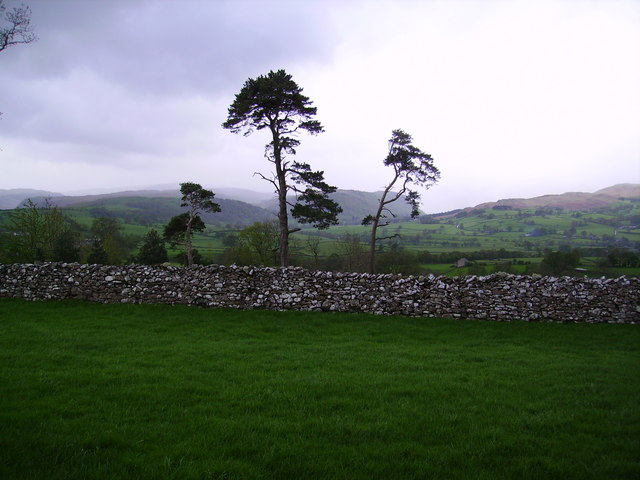
Bomby Green Images

Images are sourced within 2km of 54.553747/-2.7409781 or Grid Reference NY5217. Thanks to Geograph Open Source API. All images are credited.

Telephone Box from Withnail and I, Bampton A place of pilgrimage for fans of the film.
Telephone Box from Withnail and I, Bampton
A place of pilgrimage for fans of the film.
Bampton Grange This is a view up the village street from the bridge over the River Lowther.
Bampton Grange
This is a view up the village street from the bridge over the River Lowther.
Bampton Endowed School In 1999 the school had 21 pupils.
Bampton Endowed School
In 1999 the school had 21 pupils.
Bampton Village Store and Post Office
Fields Below Low Hullockhowe Looking north east from below Low Hullockhowe across the Lowther valley.
Fields Below Low Hullockhowe
Looking north east from below Low Hullockhowe across the Lowther valley.
Mary's Pillar.
Mary's Pillar.
Field gate Farm. Picture taken over a field gate instead of direct.
Field gate Farm.
Picture taken over a field gate instead of direct.
Knipe Moor A very distinct skyline and autumn colours.
Knipe Moor
A very distinct skyline and autumn colours.
The bridge at Bampton Grange. A beautiful sandstone bridge.
The bridge at Bampton Grange.
A beautiful sandstone bridge.
Bridge over Haweswater Beck at Greengate. Looking NW.
Bridge over Haweswater Beck at Greengate.
Looking NW.
Farmland near Walmgate. Slightly SE of Walmgate.
Farmland near Walmgate.
Slightly SE of Walmgate.
The Coast to Coast Path passing Rawhead A farmhouse overlooking the Lowther Valley.
The Coast to Coast Path passing Rawhead
A farmhouse overlooking the Lowther Valley.
Highpark Buildings Looking westward, the Coast to Coast footpath appears to go to the left of the building contrary to the map.
Highpark Buildings
Looking westward, the Coast to Coast footpath appears to go to the left of the building contrary to the map.
Haweswater Beck Looking downstream. As I was going to take this photo I came across an otter on the bank and then in the beck. Unfortunately it can't be seen in this photo (or any other) as it was too quick for me.
Haweswater Beck
Looking downstream. As I was going to take this photo I came across an otter on the bank and then in the beck. Unfortunately it can't be seen in this photo (or any other) as it was too quick for me.
Beck Bampton Grange South bank of the River Lowther indicated by the trees on the left.
Beck Bampton Grange
South bank of the River Lowther indicated by the trees on the left.
Pines and Wall Near Bampton Grange looking towards Mardale
Pines and Wall
Near Bampton Grange looking towards Mardale
Looking towards Mardale From the road to Bampton from Shap
Looking towards Mardale
From the road to Bampton from Shap
Rosgill Attractive view of bridge and village from the Coast-to-Coast path.
Rosgill
Attractive view of bridge and village from the Coast-to-Coast path.
Show me another place!

Bomby Green is located at Grid Ref: NY5217 (Lat: 54.553747, Lng: -2.7409781)

Administrative County: Cumbria

District: Eden

Police Authority: Cumbria

What 3 Words

///startles.clipped.afflict. Near Shap, Cumbria

Nearby Locations

Bomby Green Bomby

Related Wikis

Nearby Amenities

Located within 500m of 54.553747,-2.7409781
Ele: 175
Junction: yes
Lat/Long: 54.5546993/-2.7429809
Village Hall
Naptan AtcoCode: 090074062867
Naptan Bearing: W
Naptan BusStopType: CUS
Naptan CommonName: Village Hall
Naptan Indicator: o/s
Naptan Landmark: Village Hall
Naptan NaptanCode: cumdadat
Naptan Street: No name
Naptan Verified: no
Source: naptan_import
Lat/Long: 54.5552136/-2.742141
Bampton Grange
Place: village
Wikidata: Q3595447
Wikipedia: en:Bampton Grange
Lat/Long: 54.555568/-2.7412167
Post Box
Post Box Type: wall
Ref: CA10 15
Source: survey
Lat/Long: 54.5554062/-2.7419109
Barrier: stile
Material: wood
Source: survey;gps
Stile: ladder
Lat/Long: 54.5544296/-2.7430689
Generator Method: photovoltaic
Generator Output Electricity: yes
Generator Source: solar
Generator Type: solar_photovoltaic_panel
Location: roof
Power: generator
Lat/Long: 54.5559653/-2.7401904
Generator Method: photovoltaic
Generator Output Electricity: yes
Generator Source: solar
Generator Type: solar_photovoltaic_panel
Location: roof
Power: generator
Lat/Long: 54.5562481/-2.7406169
Generator Method: photovoltaic
Generator Output Electricity: yes
Generator Source: solar
Generator Type: solar_photovoltaic_panel
Location: roof
Power: generator
Lat/Long: 54.5562233/-2.7407108
Generator Method: photovoltaic
Generator Output Electricity: yes
Generator Source: solar
Generator Type: solar_photovoltaic_panel
Location: roof
Power: generator
Lat/Long: 54.5562995/-2.7404694
Generator Method: photovoltaic
Generator Output Electricity: yes
Generator Source: solar
Generator Type: solar_photovoltaic_panel
Location: roof
Power: generator
Lat/Long: 54.5564332/-2.7406491
Generator Method: photovoltaic
Generator Output Electricity: yes
Generator Source: solar
Generator Type: solar_photovoltaic_panel
Location: roof
Power: generator
Lat/Long: 54.5565032/-2.7407162
Generator Method: photovoltaic
Generator Output Electricity: yes
Generator Source: solar
Generator Type: solar_photovoltaic_panel
Location: roof
Power: generator
Lat/Long: 54.5548319/-2.7431073
Bench
Backrest: yes
Material: wood
Lat/Long: 54.5557341/-2.7461003
Information: guidepost
Tourism: information
Lat/Long: 54.5518143/-2.7461648
Information: guidepost
Tourism: information
Lat/Long: 54.5554915/-2.7410958
Man Made: utility_pole
Lat/Long: 54.5515926/-2.7460141
Man Made: utility_pole
Lat/Long: 54.551026/-2.7467804
Power: pole
Lat/Long: 54.5523411/-2.7434839
Power: pole
Lat/Long: 54.551698/-2.744186
Power: pole
Lat/Long: 54.5507738/-2.7451337
Power: pole
Lat/Long: 54.5509879/-2.7439819
Power: pole
Lat/Long: 54.5511833/-2.742857
Power: pole
Lat/Long: 54.5513227/-2.7420797
Power: pole
Lat/Long: 54.5517135/-2.7399063
Power: pole
Lat/Long: 54.5572775/-2.7456478
Power: pole
Lat/Long: 54.5571242/-2.7442893
Power: pole
Lat/Long: 54.5569381/-2.7424703
Power: pole
Lat/Long: 54.5568198/-2.741426
Power: pole
Lat/Long: 54.5567552/-2.7407588
Power: pole
Lat/Long: 54.5579415/-2.7402299
Power: pole
Lat/Long: 54.5532294/-2.733542
Power: pole
Lat/Long: 54.5537806/-2.7346964
Power: pole
Lat/Long: 54.5544119/-2.7359489
Power: pole
Lat/Long: 54.5550168/-2.7371947
Power: pole
Lat/Long: 54.5550456/-2.7393398
Power: pole
Lat/Long: 54.5550947/-2.7410085
Power: pole
Lat/Long: 54.5547436/-2.7426153
Power: pole
Lat/Long: 54.5547179/-2.7428127
The data included in this document is from www.openstreetmap.org. The data is made available under ODbL.

Have you been to Bomby Green?

Leave your review of Bomby Green below (or comments, questions and feedback).