Ham Street

Settlement in Somerset Mendip

England

Ham Street

Lottisham, Somerset St Mary's church dates from 1876.
Lottisham, Somerset Credit: ChurchCrawler

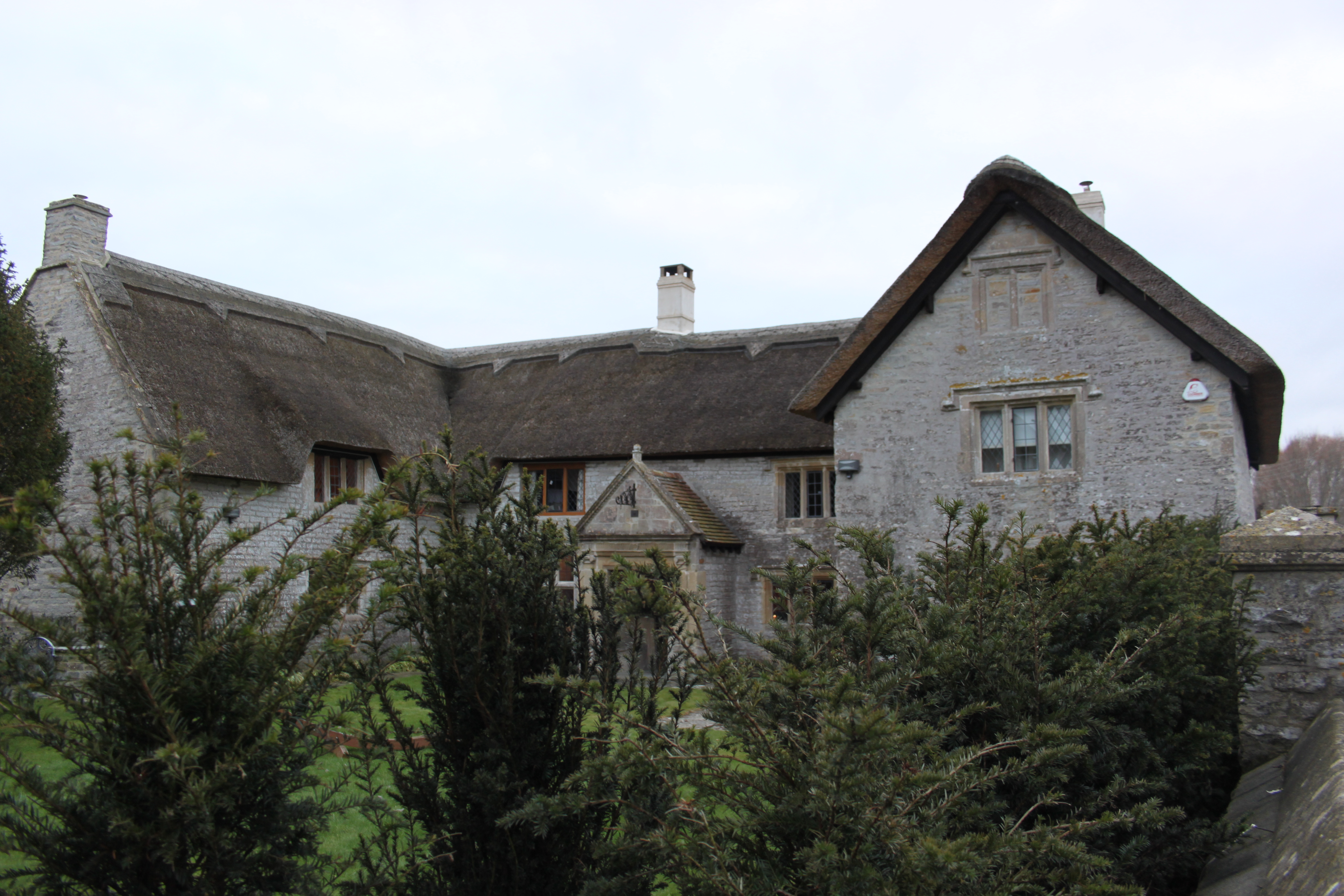
Ham Street is a small village located in the county of Somerset, England. Situated near the town of Taunton, it lies within the district of Somerset West and Taunton. The village is nestled amidst the picturesque countryside, offering residents and visitors a tranquil and idyllic setting.

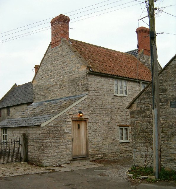
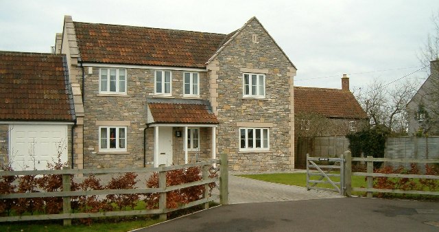
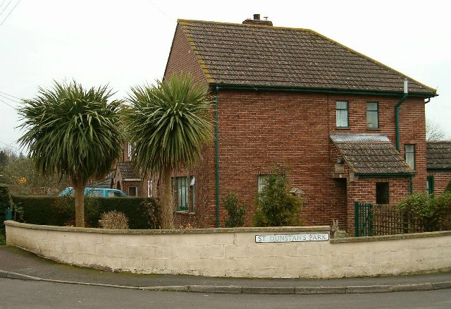
Ham Street is primarily a residential area, dotted with charming cottages and traditional houses. The village exudes a sense of community, with a friendly and welcoming atmosphere. The local population consists of a mix of families, retirees, and professionals, contributing to a diverse and inclusive community.

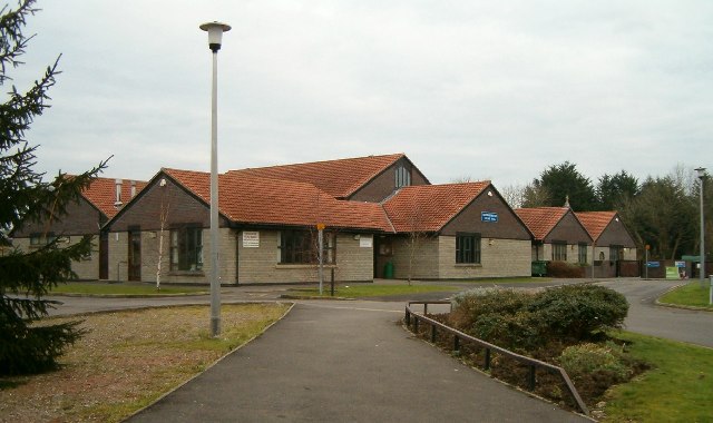
Despite its small size, Ham Street boasts a range of amenities to cater to the needs of its residents. These include a village hall, playing fields, a primary school, and a local pub, providing a focal point for socializing and community events. The village also benefits from being in close proximity to the nearby town of Taunton, which offers a wider range of amenities such as shopping centers, restaurants, and leisure facilities.

Ham Street is surrounded by beautiful countryside, making it an ideal location for outdoor enthusiasts. There are numerous walking and cycling routes nearby, allowing residents to explore the stunning landscapes and enjoy the fresh air. The village is also conveniently located near the Quantock Hills, an Area of Outstanding Natural Beauty, offering further opportunities for outdoor pursuits.

In summary, Ham Street is a charming and peaceful village in Somerset, known for its close-knit community, scenic surroundings, and convenient location. It provides a tranquil retreat for those seeking a rural lifestyle, while still offering easy access to nearby amenities and attractions.

If you have any feedback on the listing, please let us know in the comments section below.
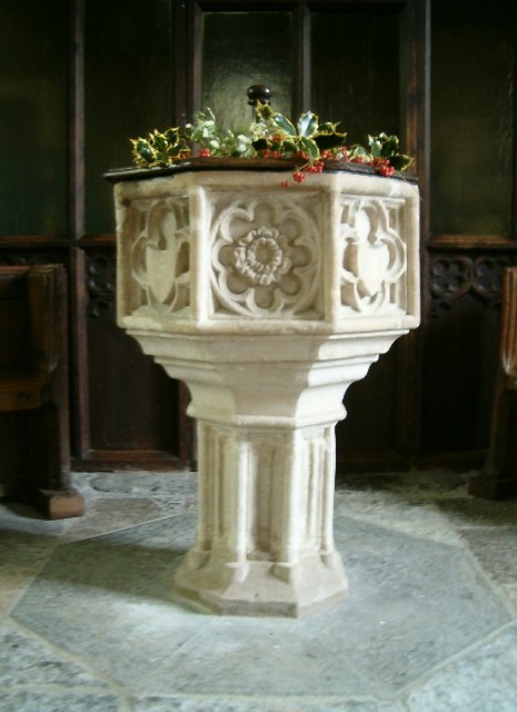
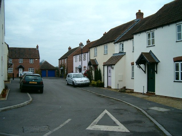
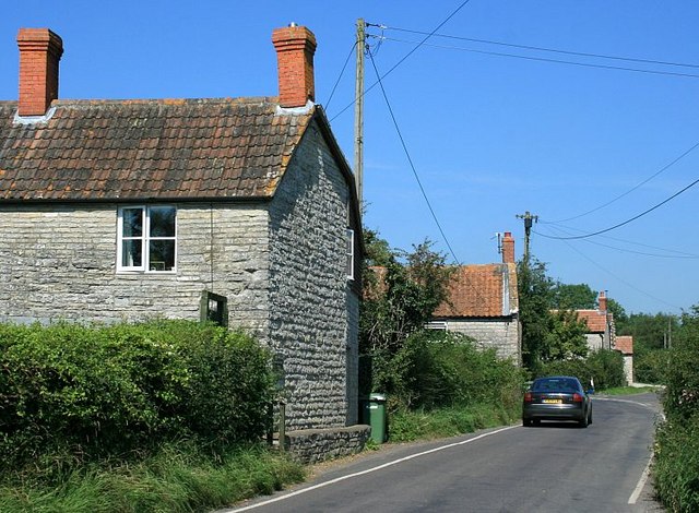
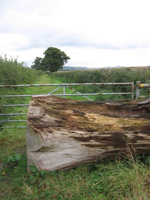
Ham Street Images

Images are sourced within 2km of 51.111159/-2.635235 or Grid Reference ST5534. Thanks to Geograph Open Source API. All images are credited.

Lottisham, Somerset St Mary's church dates from 1876.
Lottisham, Somerset
St Mary's church dates from 1876.
West Bradley, Somerset The parish church's dedication is not known.
West Bradley, Somerset
The parish church's dedication is not known.
Donkeys at West Town, Baltonsborough
The Greyhound Inn, Baltonsborough
Clerks Cottage This small cottage, in local vernacular and built of lias stone, lies beside the churchyard.
Clerks Cottage
This small cottage, in local vernacular and built of lias stone, lies beside the churchyard.
War Memorial
War Memorial
A New House
A New House
Palm Trees in Somerset
New Village Hall and Primary School
St Dunstan's Church The church dates from the fifteenth century and is a complete work of one period.
Both nave and chancel have waggon roofs of rather low pitch and are covered externally with stone tiles.
The chancel roof has three purlins, the side purlins being nearer to the walls than the centre line of the roof. There is a rich wall plate with three hollow mouldings, each containing carved paterae or leaf ornaments, with an angel at the spring of each base. There are carved bosses at the intersections of the ribs.
The nave roof is similar, except that the wall plate is plain and without angels. At its eastern side, however, there is an interesting and valuable enriched section with eleven short purlins dividing this section into twenty four small rectangular compartments. The reason for this particular enrichment is the desire to form a kind of canopy of honour over the great Rood and its accompanying figures, which stood on a loft on the screen. The existing screen is modern.
The above is an extract from a report written on the church in 1922.
St Dunstan's Church
The church dates from the fifteenth century and is a complete work of one period. Both nave and chancel have waggon roofs of rather low pitch and are covered externally with stone tiles. The chancel roof has three purlins, the side purlins being nearer to the walls than the centre line of the roof. There is a rich wall plate with three hollow mouldings, each containing carved paterae or leaf ornaments, with an angel at the spring of each base. There are carved bosses at the intersections of the ribs. The nave roof is similar, except that the wall plate is plain and without angels. At its eastern side, however, there is an interesting and valuable enriched section with eleven short purlins dividing this section into twenty four small rectangular compartments. The reason for this particular enrichment is the desire to form a kind of canopy of honour over the great Rood and its accompanying figures, which stood on a loft on the screen. The existing screen is modern. The above is an extract from a report written on the church in 1922.
Font in St Dunstan's Church
Mill Leat at Baltonsborough Taken from the churchyard of St Dunstan's Church.
Mill Leat at Baltonsborough
Taken from the churchyard of St Dunstan's Church.
New Houses On the site of the former paper mill at Baltonsborough.
New Houses
On the site of the former paper mill at Baltonsborough.
2007 : Rush Hour at Catsham On a quiet road between Barton St. David and Baltonsborough.
2007 : Rush Hour at Catsham
On a quiet road between Barton St. David and Baltonsborough.
Pasture land near Southwood East of Southwood, looking south east over meadow and wood.
Pasture land near Southwood
East of Southwood, looking south east over meadow and wood.
Dunstan's Dyke Part of the River Brue, Dunstan's Dyke runs beside Honey Mead Lane south of Catsham.
Probably named for St.Dunstan born in 909 AD in nearby Baltonsborough. <span class="nowrap"><a title="http://en.wikipedia.org/wiki/Dunstan" rel="nofollow ugc noopener" href="http://en.wikipedia.org/wiki/Dunstan">Link</a><img style="margin-left:2px;" alt="External link" title="External link - shift click to open in new window" src="https://s1.geograph.org.uk/img/external.png" width="10" height="10"/></span>
Dunstan's Dyke
Part of the River Brue, Dunstan's Dyke runs beside Honey Mead Lane south of Catsham. Probably named for St.Dunstan born in 909 AD in nearby Baltonsborough. LinkExternal link
2007 : Southwood, near Manor Farm A hamlet on the road east of Catsham.
2007 : Southwood, near Manor Farm
A hamlet on the road east of Catsham.
Lottisham Lane Beyond the felled tree trunk and the gate, Lottisham Lane stretches away.
Lottisham Lane
Beyond the felled tree trunk and the gate, Lottisham Lane stretches away.
Show me another place!

Ham Street is located at Grid Ref: ST5534 (Lat: 51.111159, Lng: -2.635235)

Administrative County: Somerset

District: Mendip

Police Authority: Avon and Somerset

What 3 Words

///revamping.boarding.sting. Near Glastonbury, Somerset

Nearby Locations

Ham Street

Related Wikis

Baltonsborough

Baltonsborough is a village and civil parish in Somerset, England. The parish had a population of 864 at the 2011 Census. As well as Baltonsborough village...

Church of St Mary, West Bradley

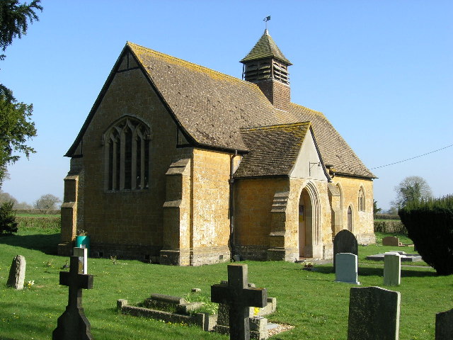
The Anglican Church of St Mary in Lottisham, West Bradley, Somerset, England, was built in 1876. It is a Grade II* listed building. == History == The church...

West Bradley

West Bradley is a village and civil parish 4 miles south-east of Glastonbury in Somerset, England. The parish includes the hamlets of Hornblotton and Lottisham...

Church of St Andrew, West Bradley

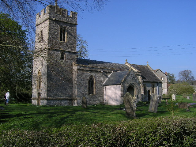
The Anglican Church of St Andrew in West Bradley, within the English county of Somerset, dates from the 14th century. It is a Grade II* listed building...

The Gatehouse, Baltonsborough

The Gatehouse in Baltonsborough, Somerset, England, is a thatched house dating from the 16th century. It has been designated a Grade I listed building...

West Pennard Court Barn

West Pennard Court Barn (which is also known as the Court Barn, West Bradley) is a late 14th or early 15th century tithe barn which was built for Glastonbury...

Church of St Peter, Lydford-on-Fosse

The Church of St Peter in Lydford-on-Fosse, Somerset, England was built in 1846. It is a Grade II* listed building. == History == The church was built...

West Lydford

West Lydford is a village and former civil parish, now in the parish of Lydford-on-Fosse in Somerset, England. The village is spread along a stretch of...

Nearby Amenities

Located within 500m of 51.111159,-2.635235
Ham Street
Place: hamlet
Source: OS7
Lat/Long: 51.1120543/-2.6370122
Hambush Farm
Place: farm
Wikidata: Q26311110
Lat/Long: 51.1106456/-2.6384465
Briars Farm
Place: locality
Lat/Long: 51.1084935/-2.6315639
Post Box
Operator: Royal Mail
Operator Wikidata: Q638098
Post Box Type: lamp
Ref: BA6 123
Royal Cypher: EIIR
Royal Cypher Wikidata: Q33102113
Lat/Long: 51.1118698/-2.6371215
Telephone
Booth: K6
Covered: booth
Man Made: telephone_box
Lat/Long: 51.1118294/-2.6370329
Bench
Lat/Long: 51.111853/-2.6370807
The data included in this document is from www.openstreetmap.org. The data is made available under ODbL.

Have you been to Ham Street?

Leave your review of Ham Street below (or comments, questions and feedback).