Ham Hill
Settlement in Kent Tonbridge and Malling
England
Ham Hill

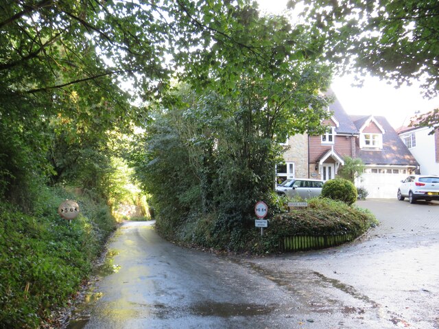
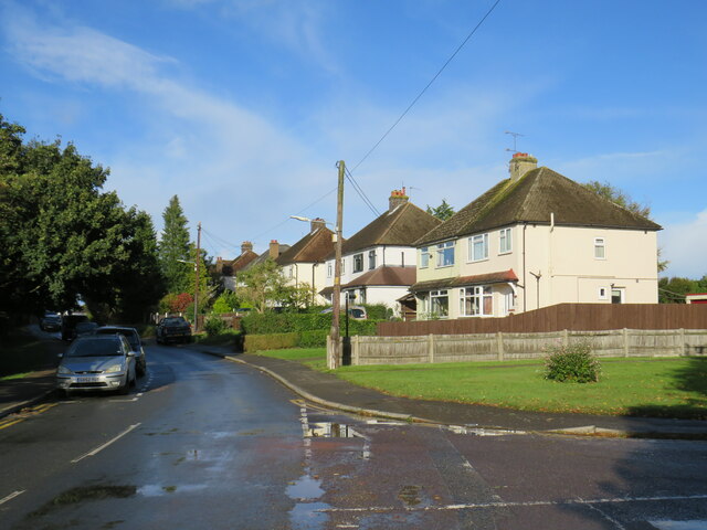
Ham Hill is a small village located in the county of Kent, England. Situated on the southeastern coast of the country, it is part of the district of Dover. The village is nestled amidst the rolling hills and picturesque landscapes that characterize the region.
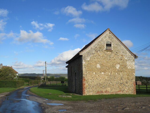
Ham Hill is known for its quaint charm and historical significance. The village is home to a collection of well-preserved medieval buildings, including the prominent St. Mary's Church, which dates back to the 12th century. This church is a testament to the rich history and architectural heritage of the area.
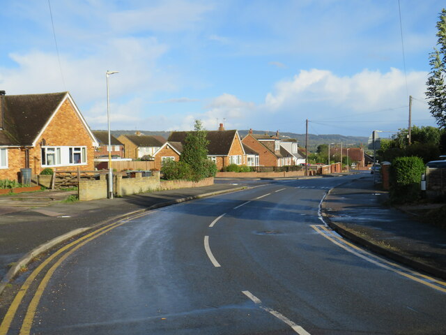
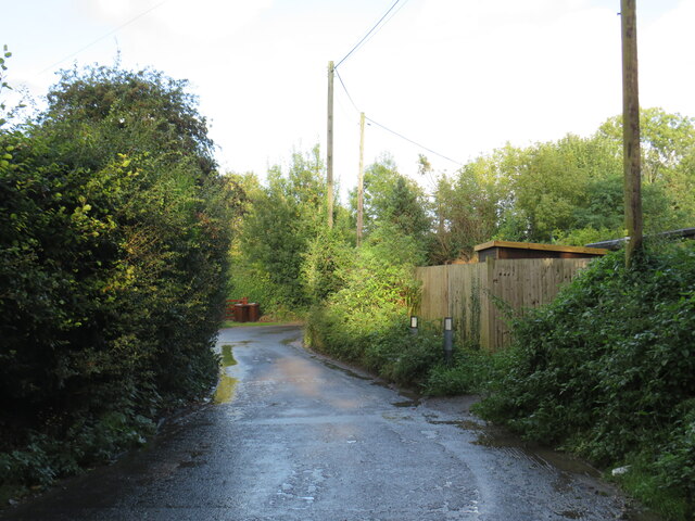
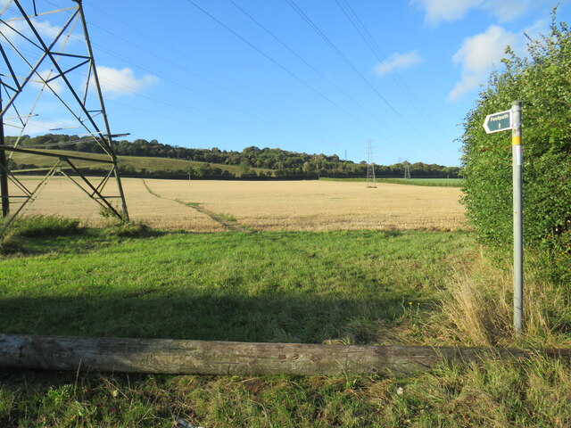
The village is surrounded by stunning natural beauty, with the Kent Downs Area of Outstanding Natural Beauty just a short distance away. This designation ensures that the landscape is protected and maintained for future generations to enjoy. The rolling hills and expansive fields offer ample opportunities for outdoor activities such as hiking, cycling, and horseback riding.
In addition to its natural beauty and historical significance, Ham Hill also boasts a close-knit community. The village is home to a number of amenities, including a local pub, a village hall, and a primary school, which serves as the hub of the community.
Overall, Ham Hill is a charming and peaceful village that combines historical charm with natural beauty. Its picturesque landscapes and preserved medieval buildings make it a popular destination for both locals and visitors seeking to experience the quintessential English countryside.
If you have any feedback on the listing, please let us know in the comments section below.
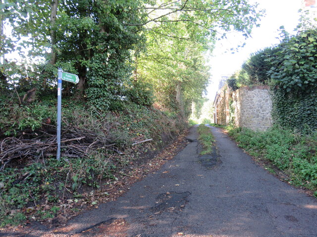
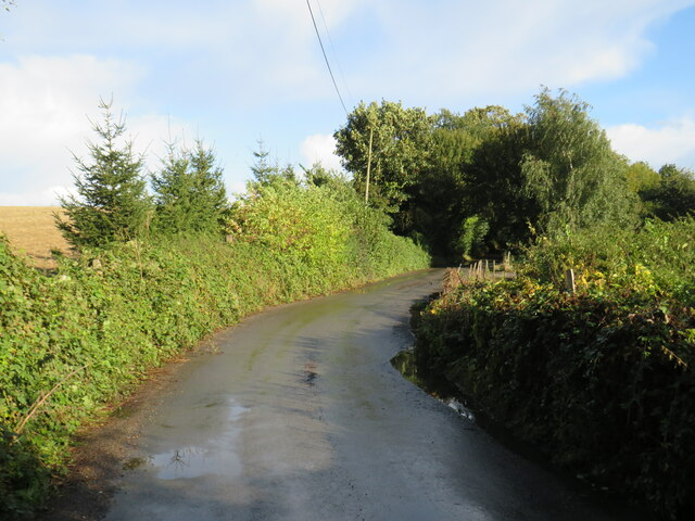
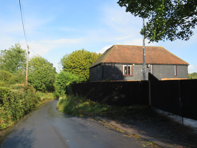
Ham Hill Images
Images are sourced within 2km of 51.321114/0.434009 or Grid Reference TQ6960. Thanks to Geograph Open Source API. All images are credited.


Ham Hill is located at Grid Ref: TQ6960 (Lat: 51.321114, Lng: 0.434009)
Administrative County: Kent
District: Tonbridge and Malling
Police Authority: Kent
What 3 Words
///tripods.sends.brighter. Near Snodland, Kent
Nearby Locations
Related Wikis
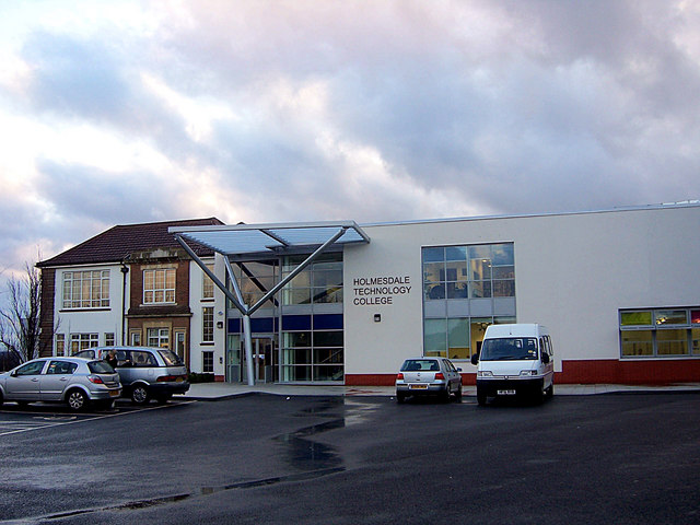
The Holmesdale School
The Holmesdale School is a coeducational high school and sixth form located in Snodland, Kent.It was previously a foundation school administered by Kent...
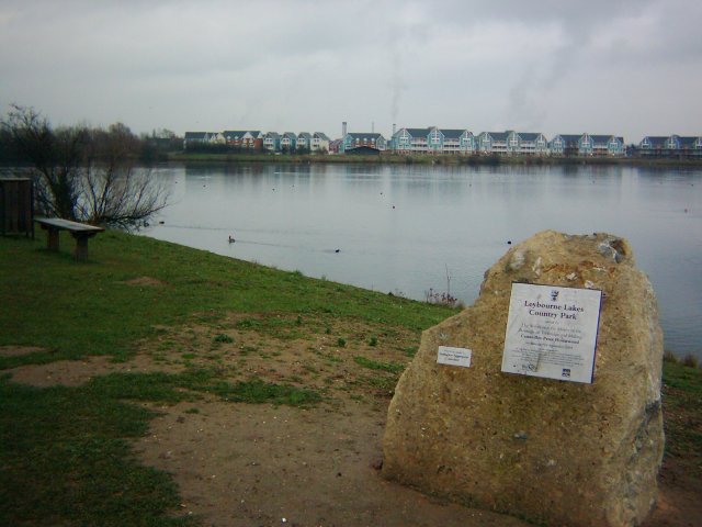
Leybourne Lakes Country Park
Leybourne Lakes Country Park is near Snodland, in Kent, England. The park, which opened in 2004, was created from disused gravel pits that have been flooded...

Snodland
Snodland is a town in the borough of Tonbridge and Malling in Kent, England. It lies on the River Medway, between Rochester and Maidstone, and 27 miles...

Snodland Town F.C.
Snodland Town F.C. is an English football club based in Snodland, Kent. They play in the Southern Counties East League Division One, at level 10 of the...
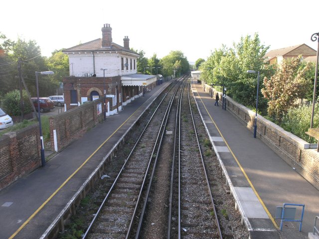
Snodland railway station
Snodland railway station is on the Medway Valley Line in Kent, England. It serves the town of Snodland, which lies some way to the west. The station is...

All Saints Church, Snodland
All Saints Church is the parish church of Snodland in Kent, England. It is a Grade I listed building.It is dedicated to All Saints. == Building == All...

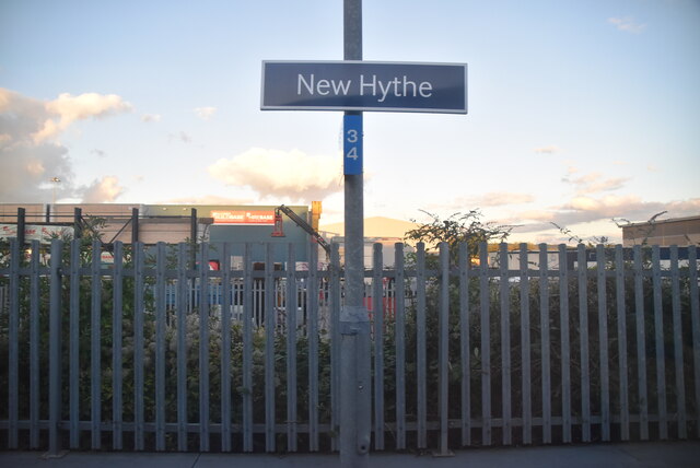
New Hythe
New Hythe is a village in mid-Kent, England on the banks of the River Medway approximately 5 mi (8.0 km) northwest of the county town of Maidstone. It...

Holborough to Burham Marshes
Holborough to Burham Marshes is a 149.8-hectare (370-acre) biological Site of Special Scientific Interest Kent. Holborough Marshes and Burham Marsh are...
Related Videos

Snodland to Sole Street: Discover Kent's Countryside | UK Walking Tours 🇬🇧
Join us on a scenic journey from Snodland to Sole Street, as we traverse the charming landscapes of Kent. This trail offers a ...

From Snodland to Sole Street: A Tranquil Walking Adventure in Kent | UK Hiking Trails 🇬🇧
Embark on a serene walking adventure from Snodland to Sole Street, and explore the scenic pathways of Kent. This picturesque ...

Tranquil Stroll from Snodland to Sole Street: Exploring Kent's Scenic Pathways | UK Walking 🇬🇧
Embark on a tranquil stroll from Snodland to Sole Street and immerse yourself in the serene beauty of Kent's countryside.

𝗕𝗲𝗮𝘂𝘁𝗶𝗳𝘂𝗹 𝗱𝗮𝘆 🌸 𝗟𝗼𝗻𝗴 𝘄𝗮𝗹𝗸
5km walking along the lake.
Nearby Amenities
Located within 500m of 51.321114,0.434009Have you been to Ham Hill?
Leave your review of Ham Hill below (or comments, questions and feedback).