Black Moss
Downs, Moorland in Aberdeenshire
Scotland
Black Moss

Black Moss is a vast expanse of moorland located in Aberdeenshire, Scotland. Stretching across an area of approximately 2,000 acres, this natural wonder is renowned for its outstanding beauty and unique ecological features. Situated in the Downs region, Black Moss is characterized by its rolling hills, heather-covered landscapes, and diverse range of flora and fauna.
The moorland is dominated by thick, vibrant purple heather, which carpets the hills and creates a stunning visual display during the summer months. This plant is not only aesthetically pleasing but also serves as an important habitat for a variety of wildlife. Visitors to Black Moss may be lucky enough to spot rare bird species such as red grouse, golden plovers, and curlews, as well as mammals like red deer and mountain hares.
The tranquil nature of Black Moss makes it an ideal destination for those seeking solitude and a chance to immerse themselves in nature. The moorland is crisscrossed with numerous walking trails and footpaths, allowing visitors to explore the area at their own pace. The breathtaking views from the hilltops make these hikes even more rewarding, providing sweeping panoramas of the surrounding Aberdeenshire countryside.
Black Moss also holds historical significance, with remnants of ancient settlements and stone circles scattered throughout the area. These archaeological sites provide a glimpse into the lives of the early inhabitants who once called this moorland home.
In conclusion, Black Moss in Aberdeenshire is a captivating and diverse moorland characterized by its heather-covered hills, abundant wildlife, and tranquil atmosphere. It offers visitors a chance to connect with nature, explore ancient history, and enjoy the stunning vistas that this unique landscape has to offer.
If you have any feedback on the listing, please let us know in the comments section below.
Black Moss Images
Images are sourced within 2km of 57.025105/-2.8069933 or Grid Reference NO5192. Thanks to Geograph Open Source API. All images are credited.


Black Moss is located at Grid Ref: NO5192 (Lat: 57.025105, Lng: -2.8069933)
Unitary Authority: Aberdeenshire
Police Authority: North East
What 3 Words
///tripled.unafraid.runner. Near Aboyne, Aberdeenshire
Nearby Locations
Related Wikis
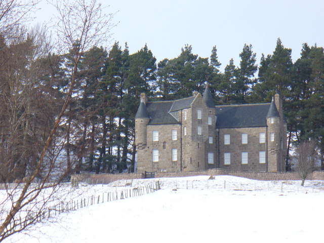
Birse Castle
Birse Castle is located in the Forest of Birse, Aberdeenshire, Scotland. Originally a square tower house, it was rebuilt in the first decade of the 20th...

Forest of Birse
The Forest of Birse is a remote upland area in the upper catchment of the Water of Feugh, which forms the south-western portion of the Parish of Birse...

Glen Tanar
Glen Tanar (Scottish Gaelic: Gleann Tanar) is a glen in Aberdeenshire, eastern Scotland, through which the Water of Tanar flows. Near the mouth of the...

Water of Tanar
Water of Tanar is a river of the Grampian Mountains of Aberdeenshire, Scotland. It flows through Glen Tanar to join the River Dee at the mouth of the glen...
Have you been to Black Moss?
Leave your review of Black Moss below (or comments, questions and feedback).