Low Flats

Downs, Moorland in Cumberland Eden

England

Low Flats

The former Armathwaite signal box A non-operational box since 1983, but preserved as a heritage attraction. See <span class="nowrap"><a title="https://settle-carlisle.co.uk/place/armathwaite-signal-box/" rel="nofollow ugc noopener" href="https://settle-carlisle.co.uk/place/armathwaite-signal-box/">Link</a><img style="margin-left:2px;" alt="External link" title="External link - shift click to open in new window" src="https://s1.geograph.org.uk/img/external.png" width="10" height="10"/></span> for details and opening times. Armathwaite is one of only four stations between Kirkby Stephen and Carlisle remaining open (the others being Appleby, Langwathby and Lazonby & Kirkoswald); there used to be nine others serving small villages, that have all closed, although the platforms or station building survive at some of them.
The former Armathwaite signal box Credit: Stephen Craven

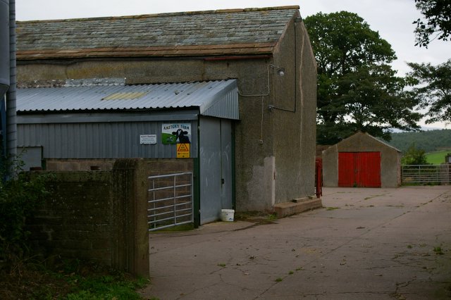
Low Flats is a small residential area located in Cumberland, England. Situated in the region known as the Downs, it is surrounded by picturesque countryside and offers a tranquil setting for its residents. The area gets its name from its relatively flat terrain, which is a distinguishing feature compared to the surrounding moorlands.

The housing in Low Flats consists mainly of detached and semi-detached houses, creating a close-knit community. The properties are typically characterized by their traditional architecture, with many dating back to the early 20th century. The streets are lined with well-maintained gardens, adding to the overall charm of the area.

Residents of Low Flats enjoy a range of amenities and facilities within close proximity. There are several local shops, including convenience stores and small businesses, providing essential services to the community. Additionally, there are recreational areas such as parks and playgrounds for families to enjoy.

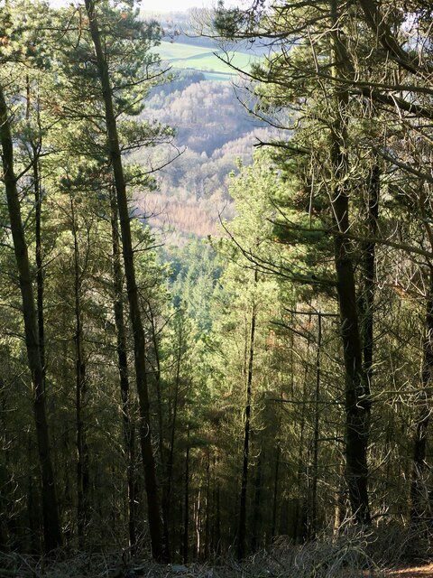
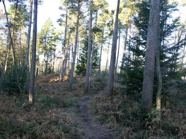
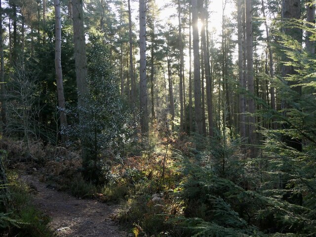
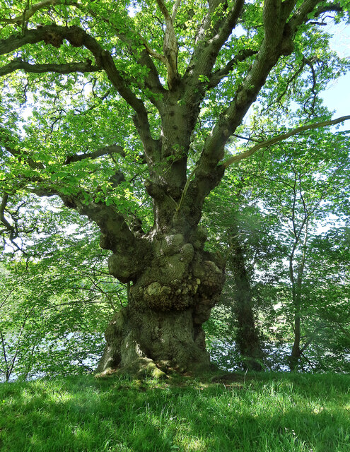
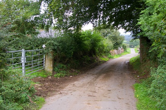
The Downs, which encompass Low Flats, offer ample opportunities for outdoor activities. The rolling hills and scenic landscapes are ideal for hiking, cycling, and picnicking. The area is also renowned for its wildlife, attracting nature enthusiasts and birdwatchers.

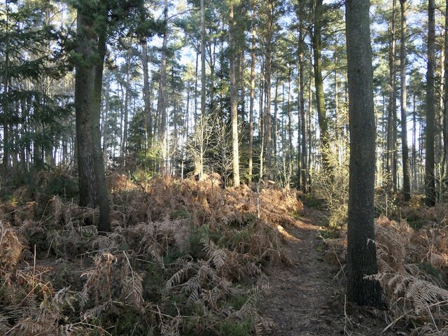
Moorland, another notable feature of the area, is a vast expanse of open land characterized by heather and grasses. It provides a stark contrast to the flat terrain of Low Flats and offers breathtaking views of the surrounding countryside.

Overall, Low Flats in Cumberland is a peaceful residential area that combines the charm of traditional architecture with the natural beauty of the Downs and Moorland. Its close-knit community and range of amenities make it an attractive place to live for those seeking a tranquil and picturesque setting.

If you have any feedback on the listing, please let us know in the comments section below.
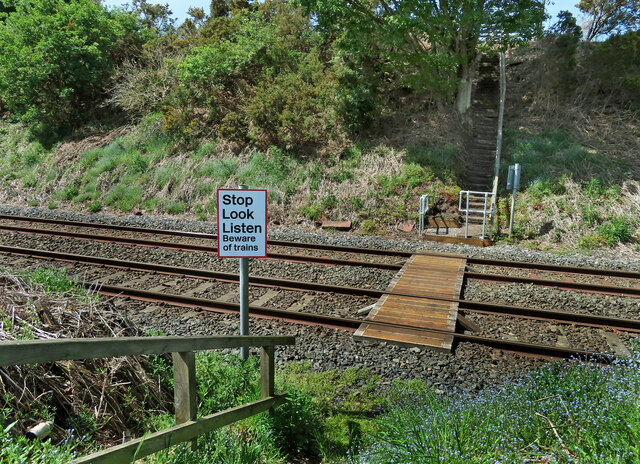
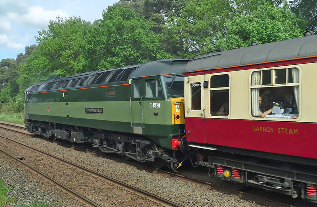
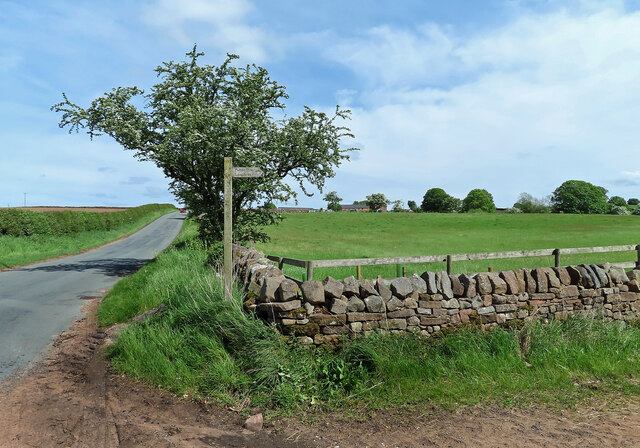
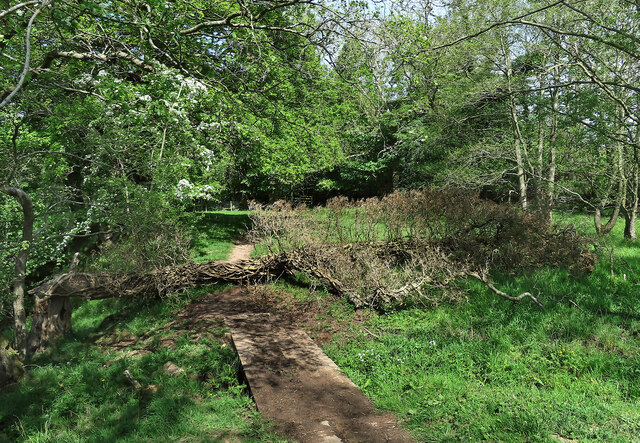
Low Flats Images

Images are sourced within 2km of 54.804132/-2.7697136 or Grid Reference NY5045. Thanks to Geograph Open Source API. All images are credited.

The former Armathwaite signal box A non-operational box since 1983, but preserved as a heritage attraction. See <span class="nowrap"><a title="https://settle-carlisle.co.uk/place/armathwaite-signal-box/" rel="nofollow ugc noopener" href="https://settle-carlisle.co.uk/place/armathwaite-signal-box/">Link</a><img style="margin-left:2px;" alt="External link" title="External link - shift click to open in new window" src="https://s1.geograph.org.uk/img/external.png" width="10" height="10"/></span> for details and opening times. Armathwaite is one of only four stations between Kirkby Stephen and Carlisle remaining open (the others being Appleby, Langwathby and Lazonby & Kirkoswald); there used to be nine others serving small villages, that have all closed, although the platforms or station building survive at some of them.
The former Armathwaite signal box
A non-operational box since 1983, but preserved as a heritage attraction. See LinkExternal link for details and opening times. Armathwaite is one of only four stations between Kirkby Stephen and Carlisle remaining open (the others being Appleby, Langwathby and Lazonby & Kirkoswald); there used to be nine others serving small villages, that have all closed, although the platforms or station building survive at some of them.
Downstream along the Eden The Eden is a fine mature river by the time it has reached Armathwaite. The only English river to flow northwards for most of its course.
Downstream along the Eden
The Eden is a fine mature river by the time it has reached Armathwaite. The only English river to flow northwards for most of its course.
Coombs Wood Near the summit with the woodland in good condition, a week after a storm flattened many trees elsewhere.
Coombs Wood
Near the summit with the woodland in good condition, a week after a storm flattened many trees elsewhere.
Coombs Wood View down very steep slopes to the woodland beside the Eden.
Coombs Wood
View down very steep slopes to the woodland beside the Eden.
Coombs Wood Near the summit. The woodland survived the storm of 26th November with limited damage.
Coombs Wood
Near the summit. The woodland survived the storm of 26th November with limited damage.
Coombs Wood
Coombs Wood
Armathwaite Station On the Settle to Carlisle line.
Armathwaite Station
On the Settle to Carlisle line.
Cattle field near Coombs Wood Viewed on a bright mid-March afternoon.
Cattle field near Coombs Wood
Viewed on a bright mid-March afternoon.
Here be dragons A superb dragon on a rooftop in Armathwaite village.
Here be dragons
A superb dragon on a rooftop in Armathwaite village.
Cross with care A public footpath crosses the railway line near Armathwaite. Walkers are asked to stop, look and listen to check for safety before crossing. If the rails make a “singing” sound, there’s a train on the way.
Cross with care
A public footpath crosses the railway line near Armathwaite. Walkers are asked to stop, look and listen to check for safety before crossing. If the rails make a “singing” sound, there’s a train on the way.
"Crewe Diesel Depot" at Armathwaite Locomotive D1924, "Crewe Diesel Depot", is a Class 47 heritage diesel engine that was built in 1966. It was the support engine for the May 2022 steam special hauled by locomotive 34046 "Braunton". Photographed on the approach to Armathwaite Station on the southward leg of the May 2022 steam special outing.
"Crewe Diesel Depot" at Armathwaite
Locomotive D1924, "Crewe Diesel Depot", is a Class 47 heritage diesel engine that was built in 1966. It was the support engine for the May 2022 steam special hauled by locomotive 34046 "Braunton". Photographed on the approach to Armathwaite Station on the southward leg of the May 2022 steam special outing.
"Braunton" at Armathwaite Locomotive 34046 "Braunton" is a West Country class 4-6-2 engine built in 1946 for the Southern Railway. Now based at Crewe Diesel Depot, Braunton works on the main line hauling excursion trains. It was named after the scenic village in Devon. Photographed on the approach to Armathwaite Station on the southward leg of the May 2022 steam special outing.
"Braunton" at Armathwaite
Locomotive 34046 "Braunton" is a West Country class 4-6-2 engine built in 1946 for the Southern Railway. Now based at Crewe Diesel Depot, Braunton works on the main line hauling excursion trains. It was named after the scenic village in Devon. Photographed on the approach to Armathwaite Station on the southward leg of the May 2022 steam special outing.
Footpath near Ainstable This path is part of a local network of routes.
Footpath near Ainstable
This path is part of a local network of routes.
Footpath near Armathwaite The path lies alongside the River Eden. A fallen tree had created a minor obstacle.
Footpath near Armathwaite
The path lies alongside the River Eden. A fallen tree had created a minor obstacle.
A spooky old oak It’s not too difficult to imagine scary things hiding in this old tree.
A spooky old oak
It’s not too difficult to imagine scary things hiding in this old tree.
Grass track between harvested fields Looking north-eastward towards Baron Wood.
Grass track between harvested fields
Looking north-eastward towards Baron Wood.
The Road to Nord Vue Stables
Nunclose
Nunclose
Show me another place!

Low Flats is located at Grid Ref: NY5045 (Lat: 54.804132, Lng: -2.7697136)

Administrative County: Cumbria

District: Eden

Police Authority: Cumbria

What 3 Words

///destroyer.rift.funnels. Near Wetheral, Cumbria

Nearby Locations

High Wood Low Flats

Related Wikis

Armathwaite Castle

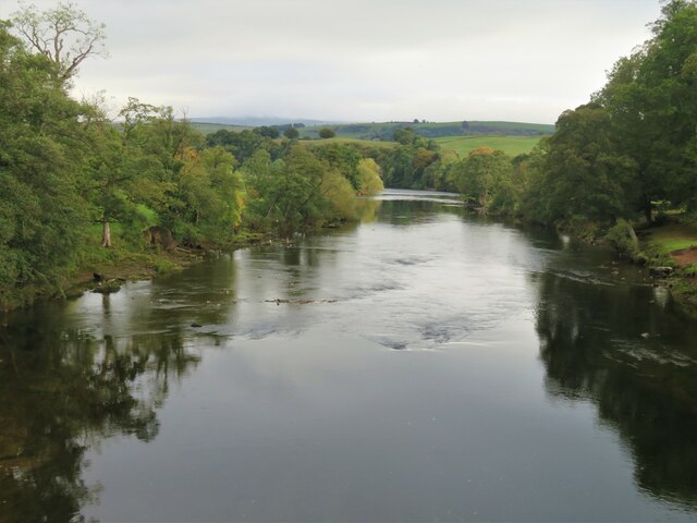
Armathwaite Castle is in the village of Armathwaite, Cumbria, England, by the River Eden. Originally built to defend against Scottish raiders in the 15th...

Armathwaite

Armathwaite is a village in the English ceremonial county of Cumbria. Historically within the county of Cumberland, Armathwaite lies on the River Eden...

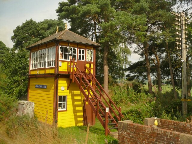
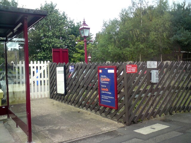
Armathwaite railway station

Armathwaite is a railway station on the Settle and Carlisle Line, which runs between Carlisle and Leeds via Settle. The station, situated 9 miles 75 chains...

Castle Hewen

Castle Hewen (also recorded as Castlewen; Castle Luen; Castellewyn; Castellewyne; Castlehewings; Castle-Ewaine and Castle Lewen) was a Romano-British castle...

Ainstable

Ainstable is a village and civil parish in the English county of Cumbria. The parish stretches from the banks of the River Eden to the summits of the North...

Low House, Wetheral

Low House is an 18th-century Georgian manor house located one and a half miles north of the village of Armathwaite in the Eden Valley of Cumbria, England...

Tarn Wadling

Tarn Wadling (formerly spelled Turnewathelane, Terne Wathelyne, among others) was a lake between Carlisle and Penrith, near the village of High Hesket...

Aiketgate

Aiketgate is a small village in the English county of Cumbria. It is within the civil parish of Hesket. Development of wind turbines in the Eden Valley...

Nearby Amenities

Located within 500m of 54.804132,-2.7697136
Armathwaite
Place: village
Source: NPE
Wikidata: Q4792901
Lat/Long: 54.8073519/-2.7699517
Bus Stop
Armathwaite School
Bus: yes
Naptan AtcoCode: 090074293637
Naptan Bearing: N
Naptan BusStopType: CUS
Naptan CommonName: Armathwaite School
Naptan Indicator: o/s
Naptan Landmark: Armathwaite School
Naptan NaptanCode: cumdajtm
Naptan Street: Front Street
Naptan Verified: no
Public Transport: platform
Source: naptan_import
Lat/Long: 54.8084148/-2.7694259
Bus Stop
Post Office
Bus: yes
Naptan AtcoCode: 090074293638
Naptan Bearing: NE
Naptan BusStopType: CUS
Naptan CommonName: Post Office (N bound)
Naptan Indicator: o/s
Naptan Landmark: Post Office
Naptan NaptanCode: cumdajtp
Naptan Street: Front Street
Naptan Verified: no
Public Transport: platform
Source: naptan_import
Lat/Long: 54.807007/-2.7706988
Bus Stop
Post Office
Bus: yes
Naptan AtcoCode: 090074293645
Naptan Bearing: S
Naptan BusStopType: CUS
Naptan CommonName: Post Office (S bound)
Naptan Indicator: opp
Naptan Landmark: Post Office
Naptan NaptanCode: cumdajtw
Naptan Street: Front Street
Naptan Verified: no
Public Transport: platform
Source: naptan_import
Lat/Long: 54.8068669/-2.7707777
Bus Stop
Armathwaite School
Bus: yes
Naptan AtcoCode: 090074293646
Naptan Bearing: S
Naptan BusStopType: CUS
Naptan CommonName: School
Naptan Indicator: Opp
Naptan Landmark: School
Naptan NaptanCode: cumdajwa
Naptan Street: Front Street
Naptan Verified: no
Public Transport: platform
Source: naptan_import
Lat/Long: 54.8084063/-2.7693308
Give Way
Direction: backward
Lat/Long: 54.8074734/-2.7699688
Noexit: yes
Lat/Long: 54.8054953/-2.7749734
Turning Circle
Lat/Long: 54.8052856/-2.7743485
Turning Circle
Lat/Long: 54.8071869/-2.7727185
Noexit: yes
Lat/Long: 54.8040918/-2.7753921
Post Office
Armathwaite Post Office
Addr City: Carlisle
Addr Country: GB
Addr Postcode: CA4 9PB
Addr Street: Front Street
Addr Village: Armathwaite
Brand: Post Office
Brand Wikidata: Q1783168
Check Date: 2022-05-27
Check Date Opening Hours: 2022‑05‑27
Contact Website: https://www.postoffice.co.uk/branch-finder/5374588/armathwaite
Opening Hours: Mo-Fr 07:30-18:00; Sa 07:30-16:00; Su 08:00-15:00
Ref Pol Id: 125457
Lat/Long: 54.8071445/-2.770662
Grit Bin
Lat/Long: 54.8066453/-2.7711078
Grit Bin
Lat/Long: 54.8066731/-2.7716657
Grit Bin
Lat/Long: 54.8058414/-2.7731248
Give Way
Direction: backward
Lat/Long: 54.8057993/-2.7729416
Grit Bin
Lat/Long: 54.8073443/-2.7698083
Post Box
Post Box Mounting: brick_pillar
Post Box Type: wall
Ref: CA4 268
Royal Cypher: GR
Royal Cypher Wikidata: Q33102273
Source: survey
Source Position: gps
Lat/Long: 54.8066998/-2.7710357
Armathwaite
Operator: Electricity North West
Power: substation
Ref: 666028
Source: survey
Substation: minor_distribution
Lat/Long: 54.8075891/-2.7697782
Bench
Backrest: yes
Source: survey
Source Position: gps
Lat/Long: 54.8079767/-2.7711186
Bench
Backrest: yes
Source: survey
Source Position: gps
Lat/Long: 54.8084866/-2.7694356
Telephone
Booth: KX100
Covered: booth
Lat/Long: 54.8069726/-2.7707759
Generator Method: photovoltaic
Generator Output Electricity: yes
Generator Source: solar
Generator Type: solar_photovoltaic_panel
Location: roof
Power: generator
Lat/Long: 54.8051577/-2.774723
Generator Method: photovoltaic
Generator Output Electricity: yes
Generator Source: solar
Generator Type: solar_photovoltaic_panel
Location: roof
Power: generator
Lat/Long: 54.8079343/-2.7675115
Generator Method: photovoltaic
Generator Output Electricity: yes
Generator Source: solar
Generator Type: solar_photovoltaic_panel
Location: roof
Power: generator
Lat/Long: 54.8071336/-2.7712397
Give Way
Direction: forward
Lat/Long: 54.8064601/-2.7641535
Give Way
Direction: forward
Lat/Long: 54.8064613/-2.7638405
Give Way
Direction: backward
Lat/Long: 54.806361/-2.764067
Give Way
Direction: forward
Lat/Long: 54.8073381/-2.7696715
Give Way
Direction: forward
Lat/Long: 54.8071424/-2.7703568
Give Way
Direction: forward
Lat/Long: 54.8066222/-2.7714855
Generator Method: photovoltaic
Generator Output Electricity: yes
Generator Source: solar
Generator Type: solar_photovoltaic_panel
Power: generator
Lat/Long: 54.8073473/-2.7725023
Give Way
Direction: backward
Lat/Long: 54.8064855/-2.771768
Generator Method: photovoltaic
Generator Output Electricity: yes
Generator Source: solar
Generator Type: solar_photovoltaic_panel
Power: generator
Lat/Long: 54.8072233/-2.7711822
Generator Method: photovoltaic
Generator Output Electricity: yes
Generator Source: solar
Generator Type: solar_photovoltaic_panel
Power: generator
Lat/Long: 54.8072638/-2.7711248
Power: pole
Lat/Long: 54.8071637/-2.7648887
Power: pole
Lat/Long: 54.8065485/-2.7652397
The data included in this document is from www.openstreetmap.org. The data is made available under ODbL.

Have you been to Low Flats?

Leave your review of Low Flats below (or comments, questions and feedback).