Levens Park

Downs, Moorland in Westmorland South Lakeland

England

Levens Park

Brant House
Brant House Credit: N Chadwick

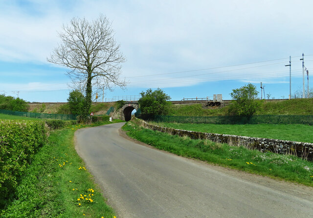
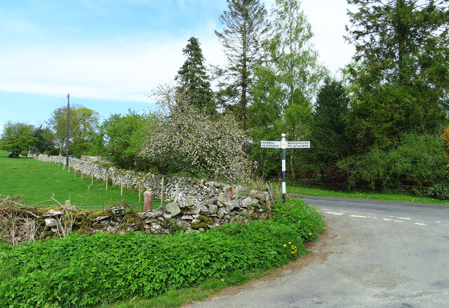
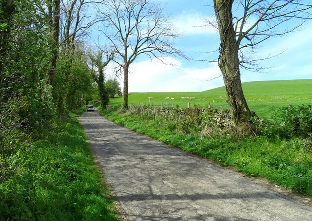
Levens Park is a stunning natural area located in the county of Westmorland, England. Situated in the northwestern region of the county, it is renowned for its picturesque landscapes, encompassing rolling downs and expansive moorland. The park covers a vast area, providing visitors with ample opportunities to explore and immerse themselves in the beauty of the surrounding nature.

One of the prominent features of Levens Park is its undulating downs, which offer breathtaking panoramic views of the surrounding countryside. These downs are covered in lush green grass, creating a serene and tranquil environment that is perfect for leisurely walks or picnics. The park is also home to a variety of wildlife, including rabbits, hares, and numerous bird species, making it a haven for nature enthusiasts and birdwatchers.

In addition to its downs, Levens Park boasts extensive moorland, characterized by its rugged and wild terrain. The moorland is carpeted with heather and dotted with rocky outcrops, creating a unique and visually striking landscape. This area is ideal for hiking and exploring, as it offers challenging trails and breathtaking vistas at every turn.

Levens Park is also famous for its historic connections. Within its boundaries lies Levens Hall, a magnificent Elizabethan mansion that dates back to the 13th century. The hall is renowned for its beautifully manicured gardens, which feature a world-famous topiary collection. Visitors can wander through the meticulously shaped hedges and marvel at the skill and artistry involved in creating these intricate designs.

Overall, Levens Park in Westmorland is a place of natural beauty, offering visitors the chance to experience the charm and tranquility of the English countryside. With its downs, moorland, and historic attractions, it is a must-visit destination for those seeking a quintessential English rural experience.

If you have any feedback on the listing, please let us know in the comments section below.
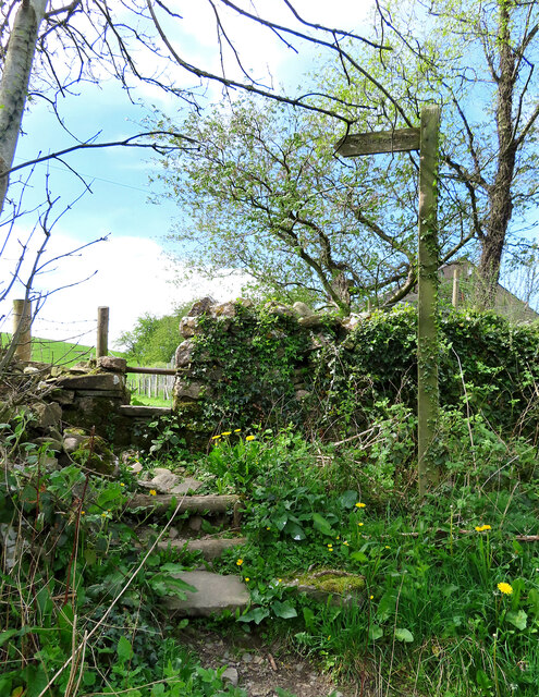
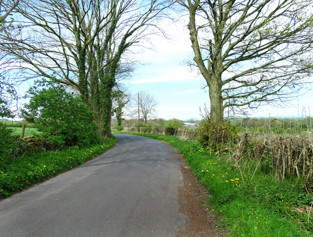
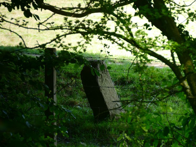
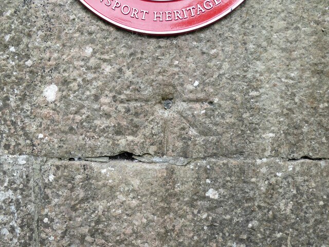
Levens Park Images

Images are sourced within 2km of 54.256435/-2.7703117 or Grid Reference SD4984. Thanks to Geograph Open Source API. All images are credited.

Brant House
Brant House
Well Heads
Well Heads
Well Heads farmhouse
The west end of Hincaster Tunnel Opened on the 18th June 1819, the 378 yard tunnel was built to facilitate access to Kendal by the Lancaster Canal.
The tunnel had fallen into disuse by the mid 1940s and it was officially closed in 1955.
There is an Ordnance Survey 1GL bolt benchmark on the pilaster to the right of the tunnel entrance (detail photograph <a href="https://www.geograph.org.uk/photo/7364790">SD5085 : Benchmark, Hincaster Tunnel</a>).
The west end of Hincaster Tunnel
Opened on the 18th June 1819, the 378 yard tunnel was built to facilitate access to Kendal by the Lancaster Canal. The tunnel had fallen into disuse by the mid 1940s and it was officially closed in 1955. There is an Ordnance Survey 1GL bolt benchmark on the pilaster to the right of the tunnel entrance (detail photograph SD5085 : Benchmark, Hincaster Tunnel).
On Viver Lane Viewed where the lane passes below the West Coast main railway line on a fine April afternoon.
On Viver Lane
Viewed where the lane passes below the West Coast main railway line on a fine April afternoon.
Heading for Hincaster Viewed from the bridge that crosses a disused railway line on a bright April afternoon.
Heading for Hincaster
Viewed from the bridge that crosses a disused railway line on a bright April afternoon.
This way to Kendal The bridge crosses a disused railway line.
This way to Kendal
The bridge crosses a disused railway line.
Junction near Hincaster Turn left here for Hincaster or right for Woodhouse and Milnthorpe.
Junction near Hincaster
Turn left here for Hincaster or right for Woodhouse and Milnthorpe.
Towards Leasgill This road leads to Leasgill and then connects with the A6.
Towards Leasgill
This road leads to Leasgill and then connects with the A6.
Footpath near Hincaster The roadside start of this path, one of many in the area.
Footpath near Hincaster
The roadside start of this path, one of many in the area.
This way to Hincaster A quiet country road leading to Hincaster village. Roadside dandelions add a splash of spring colour to the scene.
This way to Hincaster
A quiet country road leading to Hincaster village. Roadside dandelions add a splash of spring colour to the scene.
Old Milestone Marker 05-52 F (between bridges 176-175), Lancaster Canal Old Milestone located by the side of the dry section of the Lancaster Canal. This milestone is 52 miles from the centre of Preston and 5 miles from Kendal. 

Inscription reads:- 
22 :: 5 
(Miles from Lancaster and Kendal respectively)

Milestone Society National ID: LAN-52
Old Milestone Marker 05-52 F (between bridges 176-175), Lancaster Canal
Old Milestone located by the side of the dry section of the Lancaster Canal. This milestone is 52 miles from the centre of Preston and 5 miles from Kendal. Inscription reads:- 22 :: 5 (Miles from Lancaster and Kendal respectively) Milestone Society National ID: LAN-52
Benchmark, Hincaster Tunnel Detail of the Ordnance Survey 1GL Published Abstract Bolt benchmark on the west portal of Hincaster Tunnel. The benchmark marks a height of 45.9205m above mean sea level (Ordnance Datum Newlyn) last levelled and verified in 1971 (location photograph <a href="https://www.geograph.org.uk/photo/7364809">SD5085 : Transport Trust Red Wheel</a>).
Benchmark, Hincaster Tunnel
Detail of the Ordnance Survey 1GL Published Abstract Bolt benchmark on the west portal of Hincaster Tunnel. The benchmark marks a height of 45.9205m above mean sea level (Ordnance Datum Newlyn) last levelled and verified in 1971 (location photograph SD5085 : Transport Trust Red Wheel).
Transport Trust Red Wheel On the west portal of Hincaster Tunnel, the Transport Trust ‘Red Wheel’ sign highlights the importance of the tunnel as a transport heritage site.
The Transport Trust is Britain’s only charity dedicated to the preservation of all modes of transport and its infrastructure and the Red Wheel heritage plaque is the transport equivalent of an English Heritage Blue Plaque.
There is an Ordnance Survey bolt benchmark on the wall directly below the plaque (detail photograph <a href="https://www.geograph.org.uk/photo/7364790">SD5085 : Benchmark, Hincaster Tunnel</a>).
Transport Trust Red Wheel
On the west portal of Hincaster Tunnel, the Transport Trust ‘Red Wheel’ sign highlights the importance of the tunnel as a transport heritage site. The Transport Trust is Britain’s only charity dedicated to the preservation of all modes of transport and its infrastructure and the Red Wheel heritage plaque is the transport equivalent of an English Heritage Blue Plaque. There is an Ordnance Survey bolt benchmark on the wall directly below the plaque (detail photograph SD5085 : Benchmark, Hincaster Tunnel).
Railway buildings at Hincaster Typical red brick buildings associated with the railway.
Railway buildings at Hincaster
Typical red brick buildings associated with the railway.
Viver Mill Farm The farm entrance on Viver Lane displays a large millstone.
Viver Mill Farm
The farm entrance on Viver Lane displays a large millstone.
Approaching the A590 Viewed near Viver on a bright early-June afternoon.
Approaching the A590
Viewed near Viver on a bright early-June afternoon.
Beware of floods A warning sign alerts road users to a flood risk ahead. The depth markers beside the railway bridge on the West Coast main line show how serious this can be.
Beware of floods
A warning sign alerts road users to a flood risk ahead. The depth markers beside the railway bridge on the West Coast main line show how serious this can be.
Show me another place!

Levens Park is located at Grid Ref: SD4984 (Lat: 54.256435, Lng: -2.7703117)

Administrative County: Cumbria

District: South Lakeland

Police Authority: Cumbria

What 3 Words

///back.acting.dislodge. Near Milnthorpe, Cumbria

Nearby Locations

Icehouse Wood Levens Park

Related Wikis

Levens Hall

Levens Hall is a manor house in the Kent valley, near the village of Levens and 5 miles (9 km) south of Kendal in Cumbria, Northern England. == History... ==

Hincaster

Hincaster is a small hamlet and civil parish in the South Lakeland district of Cumbria, England, located between Kendal and Milnthorpe. In the 2001 census...

River Kent

The River Kent is a short river in the county of Cumbria in England. It originates in hills surrounding Kentmere, and flows for around 20 miles (32 km...
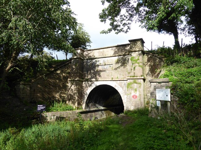
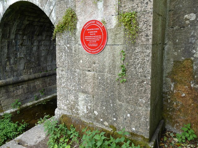
Hincaster Tunnel

The Hincaster Tunnel is a canal tunnel on the Lancaster Canal at Hincaster, a hamlet in Cumbria, England. == History == Work to extend the Lancaster Canal...

Nearby Amenities

Located within 500m of 54.256435,-2.7703117
Bus Stop
Levens Bridge
Bench: no
Bin: no
Bus: yes
Image: https://www.geograph.org.uk/photo/1889586
Lit: no
Naptan AtcoCode: 090079431271
Naptan Bearing: S
Naptan BusStopType: MKD
Naptan CommonName: Levens Bridge
Naptan Indicator: opp
Naptan Landmark: Levens Hall
Naptan LocalityCode: E0044905
Naptan NaptanCode: cumdjwtj
Naptan Street: A6
Naptan Verified: no
Public Transport: platform
Ref: cumdjwtj
Shelter: yes
Source: naptan_import
Tactile Paving: no
Lat/Long: 54.2594532/-2.7747535
Barrier: stile
Lat/Long: 54.2534486/-2.7690377
Barrier: stile
Material: stone
Stile: stepover
Lat/Long: 54.2578901/-2.7658003
Give Way
Direction: forward
Lat/Long: 54.2598908/-2.7751232
Levens Bridge
Bus: yes
Public Transport: stop_position
Lat/Long: 54.2594602/-2.7748579
Barrier: cattle_grid
Lat/Long: 54.2592842/-2.7727865
Barrier: stile
Lat/Long: 54.2525716/-2.7687853
Historic: yes
Image: https://www.geograph.org.uk/photo/1889586
Military: bunker
Lat/Long: 54.2585189/-2.7734363
Give Way
Direction: backward
Lat/Long: 54.2553018/-2.7752376
The data included in this document is from www.openstreetmap.org. The data is made available under ODbL.

Have you been to Levens Park?

Leave your review of Levens Park below (or comments, questions and feedback).