Burnside Moss
Downs, Moorland in Roxburghshire
Scotland
Burnside Moss
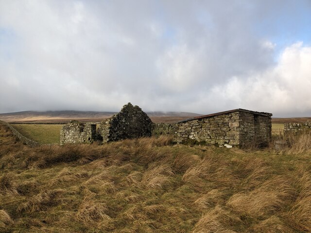
Burnside Moss is a unique and picturesque area located in the county of Roxburghshire, Scotland. Situated in a remote and rural location, it is known for its scenic beauty and vast expanse of downs and moorland.
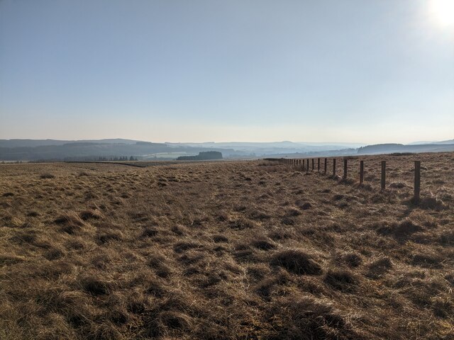
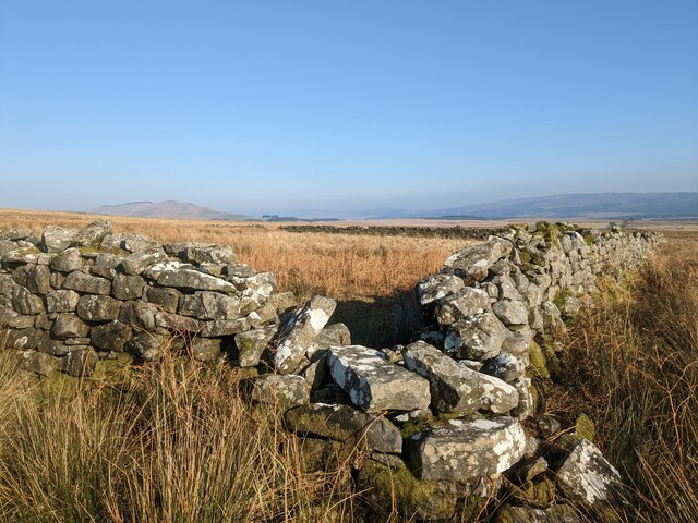
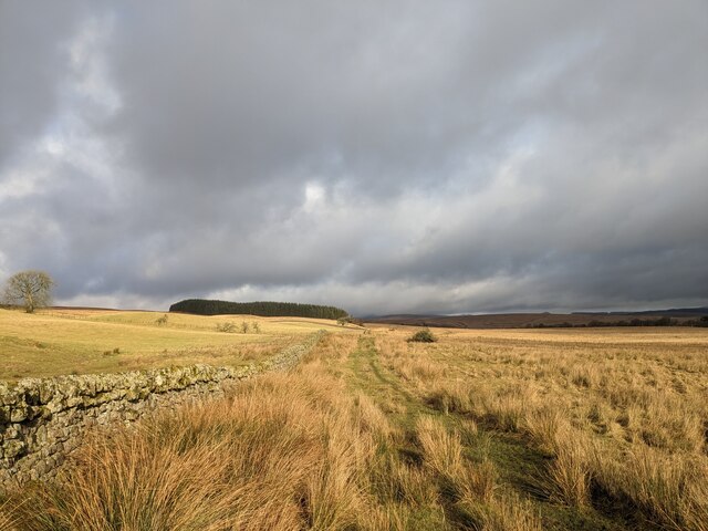
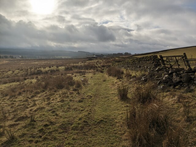
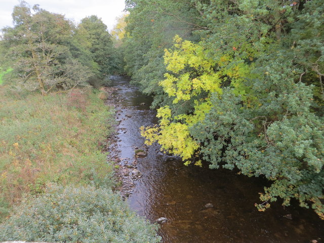
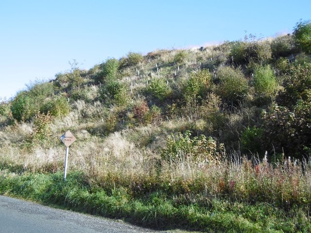
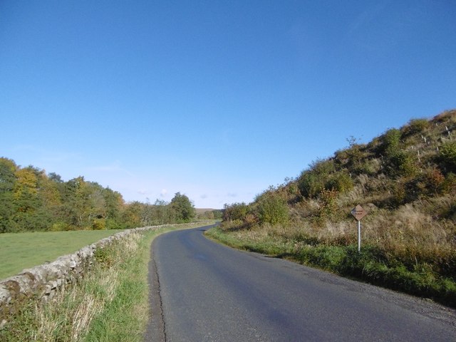
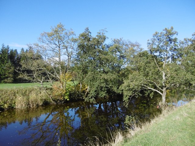
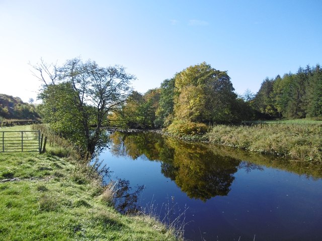
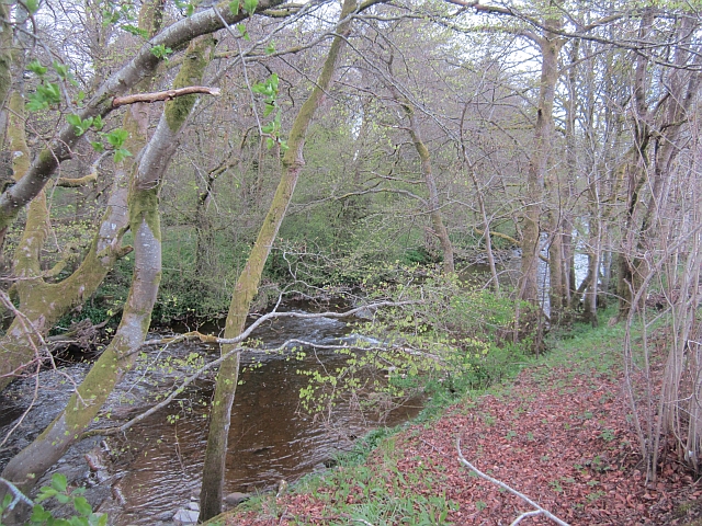
Covering an area of approximately [INSERT SIZE], Burnside Moss is characterized by its rolling hills, heather-covered moorland, and open grasslands. The landscape is dotted with small lochs and streams, adding to its natural charm. The area's climate is typical of the Scottish Borders region, with cool summers and mild winters.
The downs and moorlands of Burnside Moss are home to a diverse range of flora and fauna. Heather, gorse, and wildflowers dominate the vegetation, creating a colorful and vibrant display during the summer months. The area provides an important habitat for various bird species, including grouse, curlews, and skylarks, which can be seen and heard throughout the year.
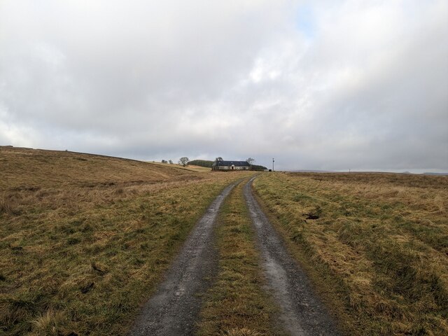
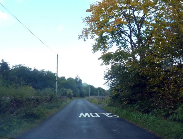
Burnside Moss offers ample opportunities for outdoor activities such as hiking, birdwatching, and photography. Several well-marked trails crisscross the landscape, providing visitors with stunning views of the surrounding countryside. The tranquil atmosphere and unspoiled nature make it an ideal location for those seeking peace and solitude.
Access to Burnside Moss is primarily by car or on foot, with limited public transportation options available. The nearest town is [INSERT NAME], which is approximately [INSERT DISTANCE] away. Visitors are advised to come prepared with appropriate clothing and footwear, as the weather can change quickly and the terrain can be challenging in some areas.
In conclusion, Burnside Moss is a captivating destination for nature lovers and outdoor enthusiasts. Its downs and moorland offer a serene escape from the hustle and bustle of everyday life, providing a glimpse into the raw beauty of Scotland's countryside.
If you have any feedback on the listing, please let us know in the comments section below.
Burnside Moss Images
Images are sourced within 2km of 55.220207/-2.7942318 or Grid Reference NY4992. Thanks to Geograph Open Source API. All images are credited.


Burnside Moss is located at Grid Ref: NY4992 (Lat: 55.220207, Lng: -2.7942318)
Unitary Authority: The Scottish Borders
Police Authority: The Lothians and Scottish Borders
What 3 Words
///senders.lordship.clattered. Near Langholm, Dumfries & Galloway
Nearby Locations
Related Wikis

Liddel Castle
Liddel Castle is a ruined castle in Liddesdale, by the Liddel Water, near Castleton in the Scottish Borders area of Scotland, in the former county of Roxburghshire...

Steele Road railway station
Steele Road railway station served the hamlet of Steele Road, Scottish Borders, Scotland, from 1862 to 1969 on the Border Union Railway. == History... ==
Dinlabyre
Dinlabyre is a village on the B6357 in Liddesdale, on the edge of the Newcastleton Forest, close to Castleton, in the Scottish Borders area of Scotland...

Hermitage Water
The Hermitage Water is a river in Liddesdale, in the Scottish Borders area of Scotland. Among its many feeder burns are Braidley Burn, Dinley Burn, Gorrenberry...
Hermitage, Scottish Borders
Hermitage is a village near Newcastleton, on the B6399, in the Scottish Borders area of Scotland. == See also == List of places in the Scottish Borders...

Hermitage Castle
Hermitage Castle is a semi-ruined castle in the border region of Scotland. It is under the care of Historic Scotland. The castle has a reputation, both...
Dinley
Dinley is a hamlet in the Scottish Borders through which Hermitage Water flows. == Etymology == The first element, din, seems to be the Cumbric word for...

Newcastleton railway station
Newcastleton railway station served the village of Newcastleton, Scottish Borders, Scotland from 1862 to 1969 on the Border Union Railway. == History... ==
Nearby Amenities
Located within 500m of 55.220207,-2.7942318Have you been to Burnside Moss?
Leave your review of Burnside Moss below (or comments, questions and feedback).