Bradley Field
Downs, Moorland in Westmorland South Lakeland
England
Bradley Field
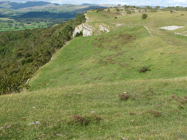
Bradley Field, located in Westmorland, is a picturesque expanse of land encompassing both downs and moorland. Spanning approximately 200 acres, it is nestled in the heart of the Westmorland countryside, surrounded by rolling hills and stunning vistas. The field offers a serene and tranquil environment, making it a popular destination for nature enthusiasts, hikers, and bird watchers.
The downs section of Bradley Field features vast open spaces covered in lush green grass, dotted with occasional wildflowers. It provides ample space for recreational activities such as picnics, frisbee games, or simply unwinding amidst the idyllic surroundings. The gentle slopes of the downs make it an ideal spot for leisurely walks, offering panoramic views of the surrounding landscape.
On the other hand, the moorland area of Bradley Field showcases a more rugged and untamed beauty. Covered in heather and bracken, it provides a habitat for various wildlife species, including birds, rabbits, and occasionally deer. The moorland is crisscrossed by narrow footpaths, inviting visitors to explore its hidden corners and discover its natural wonders.
Both sections of Bradley Field are well-maintained, with clear signposting and designated paths to ensure the safety and enjoyment of visitors. The field is easily accessible, with car parking facilities and nearby amenities, including cafes and visitor centers. Its proximity to Westmorland's attractions, such as historic sites and charming villages, makes Bradley Field a must-visit destination for those seeking a peaceful retreat in the heart of nature.
If you have any feedback on the listing, please let us know in the comments section below.
Bradley Field Images
Images are sourced within 2km of 54.318948/-2.7820871 or Grid Reference SD4991. Thanks to Geograph Open Source API. All images are credited.


Bradley Field is located at Grid Ref: SD4991 (Lat: 54.318948, Lng: -2.7820871)
Administrative County: Cumbria
District: South Lakeland
Police Authority: Cumbria
What 3 Words
///labels.rarely.certified. Near Kendal, Cumbria
Nearby Locations
Related Wikis

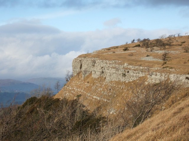
Cunswick Scar
Cunswick Scar is a limestone scar (cliff or steep rock face) in the Lake District, England. There are extensive views from the large cairn at the top...
Scout Scar
Scout Scar, also called Underbarrow Scar, is a hill in the English Lake District, west of Kendal, Cumbria and above the village of Underbarrow. It reaches...

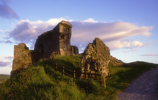
Castle Howe
Castle Howe is a motte and bailey castle in the town of Kendal, England. == History == Castle Howe was built after the Norman conquest of England, either...

Helsfell Hall
Helsfell Hall was a country house near Kentrigg in Cumbria. That part of the building which survives, and is now used as a barn, is a Grade II listed building...
Kendal College
Kendal College is a further education college situated in Kendal on the edge of the Lake District National Park. The college provides a range of training...
Barony of Kendal
The Barony of Kendal is a subdivision of the English historic county of Westmorland. It is one of two ancient baronies that make up the county, the other...

Kendal Town Hall
The Town Hall is a municipal building in Highgate, Kendal, Cumbria. It is a Grade II listed building. It serves as the headquarters of Kendal Town Council...
Museum of Lakeland Life & Industry
The Museum of Lakeland Life & Industry, formerly the Museum of Lakeland Life and sometimes abbreviated to MOLLI, is a local museum in Kendal, Cumbria,...
Nearby Amenities
Located within 500m of 54.318948,-2.7820871Have you been to Bradley Field?
Leave your review of Bradley Field below (or comments, questions and feedback).