Boghall Moss

Downs, Moorland in Roxburghshire

Scotland

Boghall Moss

Gate to Long Moss On the Hawick Circular Riding Route where it crosses a boggy moorland west of Drinkstone Hill.
Gate to Long Moss Credit: Jim Barton

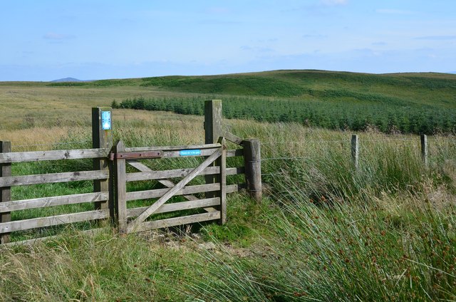
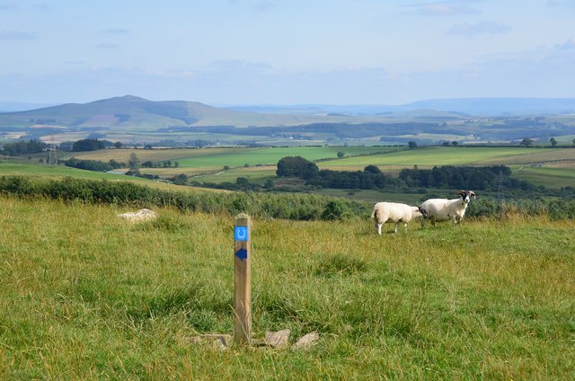
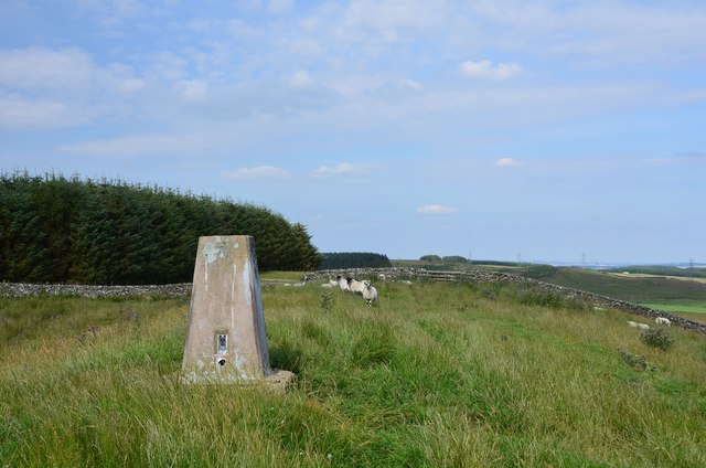
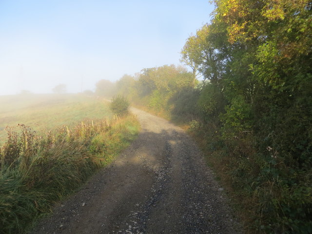
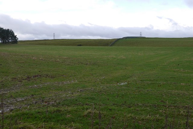
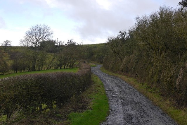
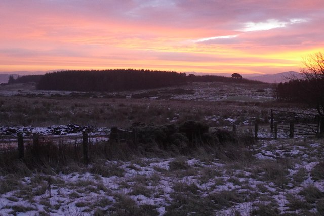
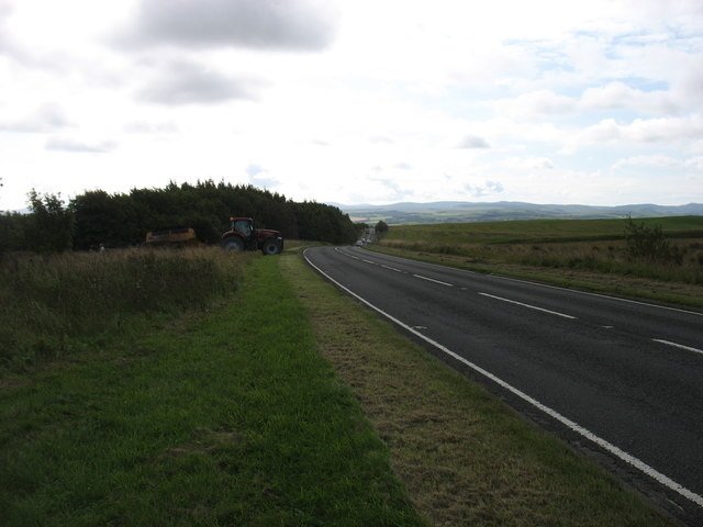
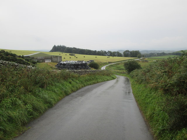
Boghall Moss, located in Roxburghshire, Scotland, is a vast expanse of downs and moorland that spans approximately 20 square kilometers. This unique natural area is characterized by its diverse vegetation and rich biodiversity.

The moss is primarily composed of peat, which has formed over thousands of years due to the accumulation of decomposing plant material. This creates a distinct and fragile ecosystem that is home to a wide array of plant and animal species. The vegetation in Boghall Moss includes heather, cotton grass, sphagnum moss, and a variety of grasses and sedges.

The moss is home to numerous bird species, including curlews, lapwings, and skylarks, which thrive in the open grasslands. In addition, several species of butterflies and dragonflies can be found flitting among the flowers and reeds.

Boghall Moss plays a crucial role in the local environment by acting as a natural carbon sink, absorbing carbon dioxide from the atmosphere and helping to combat climate change. It also provides important habitats for wildlife and contributes to the overall health of the surrounding ecosystem.

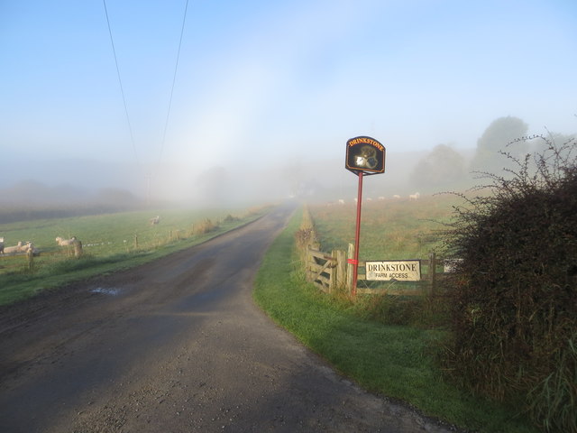
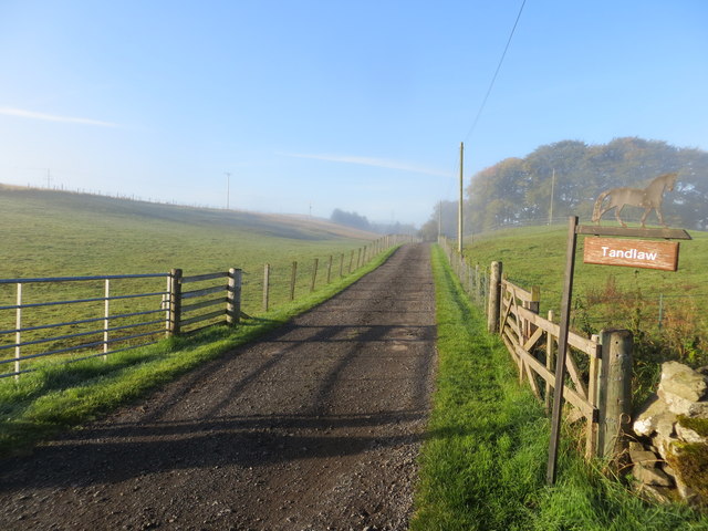
Visitors to Boghall Moss can enjoy its natural beauty through various walking trails and observation points. The area is managed by conservation organizations and local authorities to ensure its preservation and protection for future generations to enjoy.

Overall, Boghall Moss is an important and unique natural area in Roxburghshire, offering a glimpse into the diverse and delicate ecosystems that exist in the Scottish landscape.

If you have any feedback on the listing, please let us know in the comments section below.
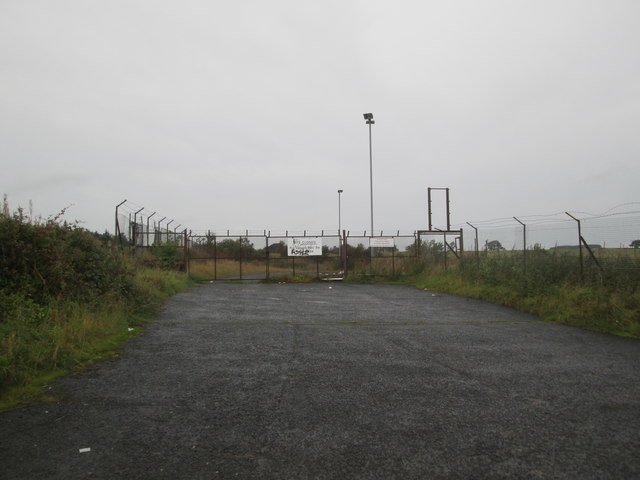
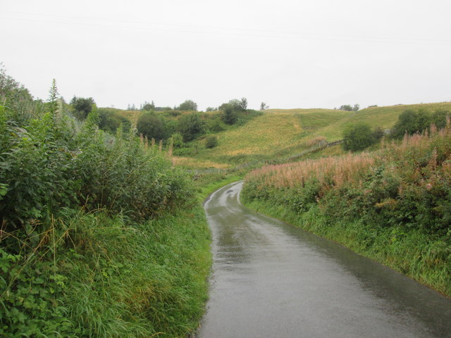
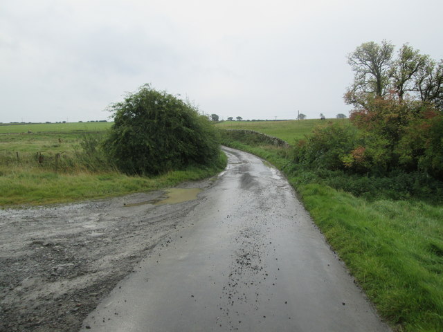
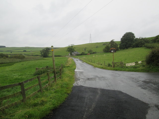
Boghall Moss Images

Images are sourced within 2km of 55.459147/-2.8047686 or Grid Reference NT4918. Thanks to Geograph Open Source API. All images are credited.

Gate to Long Moss On the Hawick Circular Riding Route where it crosses a boggy moorland west of Drinkstone Hill.
Gate to Long Moss
On the Hawick Circular Riding Route where it crosses a boggy moorland west of Drinkstone Hill.
On the ridge of Drinkstone Hill A waymark for the Hawick Circular Riding Route which traverses the summit of this grassy hill north of Hawick. The hill in the distance is Rubers Law.
On the ridge of Drinkstone Hill
A waymark for the Hawick Circular Riding Route which traverses the summit of this grassy hill north of Hawick. The hill in the distance is Rubers Law.
Trig point, Drinkstone Hill The grassy sheep-grazed summit of Drinkstone Hill (318m).
Trig point, Drinkstone Hill
The grassy sheep-grazed summit of Drinkstone Hill (318m).
Wheelie bin graveyard above Hawick Green-topped wheelie bins stored at a former landfill site, following Scottish Borders Council's decision to cease kerbside collection of garden waste last year, as an economy measure. Householders now have the option of taking garden waste to recycling sites or paying for collection.
Wheelie bin graveyard above Hawick
Green-topped wheelie bins stored at a former landfill site, following Scottish Borders Council's decision to cease kerbside collection of garden waste last year, as an economy measure. Householders now have the option of taking garden waste to recycling sites or paying for collection.
View across Longmoss Knowe from Drinkstone Hill Triangulation Pillar Looking north-westward.
View across Longmoss Knowe from Drinkstone Hill Triangulation Pillar
Looking north-westward.
Border Abbeys Way near Sunnybank on a misty October morning Looking north-westward.
Border Abbeys Way near Sunnybank on a misty October morning
Looking north-westward.
Track to Drinkstone Farm on a misty October morning Looking north-westward.
Track to Drinkstone Farm on a misty October morning
Looking north-westward.
Farm track to Tandlaw Looking south-westward.
Farm track to Tandlaw
Looking south-westward.
Pasture near Stouslie North of Hawick.
Pasture near Stouslie
North of Hawick.
Road, Sunnybank Borders Abbeys Way north of Hawick.
Road, Sunnybank
Borders Abbeys Way north of Hawick.
Groundistone Moss Dawn on the A7 with an old alignment of the road in the foreground.
Groundistone Moss
Dawn on the A7 with an old alignment of the road in the foreground.
The A7 heading for Hawick
Looking  back  down  Stirches  Mains  Hill
Looking back down Stirches Mains Hill
Refuse  tip  entrance.  It  closed  in  2007 Richard Webb took a photo of the "recently closed tip" in November 2007
Refuse tip entrance. It closed in 2007
Richard Webb took a photo of the "recently closed tip" in November 2007
Dip  and  a  bend  on  a  minor  road B A Way follows this minor road out of Hawick
Dip and a bend on a minor road
B A Way follows this minor road out of Hawick
Approaching  minor  roads  junction B A Way straight on
Approaching minor roads junction
B A Way straight on
Borders  Abbeys  Way  on  minor  road
Borders Abbeys Way on minor road
Access  road  to  Drinkstone  Farm  and  Sunnybank
Access road to Drinkstone Farm and Sunnybank
Show me another place!

Boghall Moss is located at Grid Ref: NT4918 (Lat: 55.459147, Lng: -2.8047686)

Unitary Authority: The Scottish Borders

Police Authority: The Lothians and Scottish Borders

What 3 Words

///saints.excusing.lunge. Near Hawick, Scottish Borders

Nearby Locations

Boghall Moss

Related Wikis

Stirches

Stirches is an area of Hawick in the Scottish Borders, mostly consisting of ex-council housing built in 1973. It is often considered to be one of the more...

Ashkirk

Ashkirk is a small village on the Ale Water, in the Scottish Borders area of Scotland. It is located just off the A7 road, approximately 6 miles (10 kilometres...

Burnfoot, Hawick

Burnfoot (Scottish Gaelic: Bun na h-Aibhne, Scots: Burnfit) is a housing estate just east of the A7, in the northern part of Hawick, by the Boonraw Burn...

Salenside

Salenside is a village off the A7, on the Ale Water, near Ashkirk, in the Scottish Borders area of Scotland, in the former Selkirkshire. There was a Salenside...

Appletreehall

Appletreehall is a village in the Scottish Borders area of Scotland, 2 miles north-east of Hawick, in the historic county of Roxburghshire. Nearby are...

Bowismiln

Bowismiln is a village in the Scottish Borders area of Scotland. == See also == List of places in the Scottish Borders List of places in Scotland ��2...

Hawick railway station

Hawick railway station served the town of Hawick, Scottish Borders, Scotland from 1849 to 1969 on the Waverley Route. == History == The first station opened...

Hawick Library

Hawick Library is housed in the building built in 1904 in Hawick and it was one of the many libraries funded by Andrew Carnegie. The library is a Category...

Nearby Amenities

Located within 500m of 55.459147,-2.8047686
Ford: yes
Lat/Long: 55.4611742/-2.806093
Natural: peak
Lat/Long: 55.4566346/-2.8040677
Power: tower
Lat/Long: 55.4564908/-2.8089881
Power: tower
Lat/Long: 55.4584206/-2.8078581
Power: tower
Lat/Long: 55.4603047/-2.8067549
Power: tower
Lat/Long: 55.4621914/-2.80565
Noexit: yes
Lat/Long: 55.4623105/-2.8061003
Power: pole
Lat/Long: 55.4559397/-2.8100517
Power: pole
Lat/Long: 55.4567031/-2.8097056
Power: pole
Lat/Long: 55.4574709/-2.8093391
Power: pole
Lat/Long: 55.4581693/-2.8089981
Power: pole
Lat/Long: 55.4589428/-2.8086341
Power: pole
Lat/Long: 55.4596932/-2.8082804
Power: pole
Lat/Long: 55.4603281/-2.8079648
Power: pole
Lat/Long: 55.461077/-2.807611
Power: pole
Lat/Long: 55.4618418/-2.8072496
The data included in this document is from www.openstreetmap.org. The data is made available under ODbL.

Have you been to Boghall Moss?

Leave your review of Boghall Moss below (or comments, questions and feedback).