Ballan Moor
Downs, Moorland in Monmouthshire
Wales
Ballan Moor
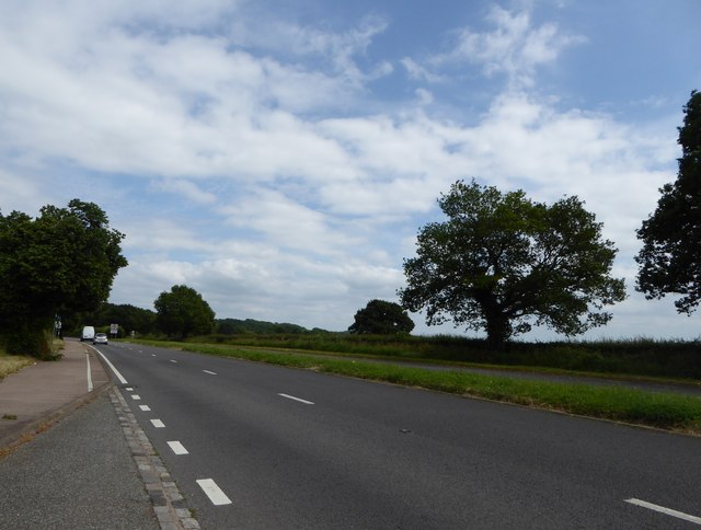
Ballan Moor is a picturesque expanse of moorland located in Monmouthshire, Wales. Situated in the southern part of the county, it covers an area of approximately 2 square miles. The moorland is characterized by rolling hills, open grassy plains, and scattered patches of heather and gorse.
The terrain of Ballan Moor is predominantly made up of peat, resulting in a unique and distinctive landscape. It is a haven for wildlife, with numerous species of birds, such as skylarks and meadow pipits, making it their home. Additionally, the moorland is home to various small mammals, including rabbits and foxes.
Visitors to Ballan Moor can enjoy breathtaking views of the surrounding countryside, with the Black Mountains to the north and the Usk Valley to the south. The area is traversed by a network of public footpaths and bridleways, making it an ideal destination for hikers, cyclists, and horse riders.
The moorland is also of historical significance, with traces of ancient settlements and burial mounds dating back to the Bronze Age. Archaeological excavations have revealed artifacts and remains, shedding light on the region's past.
Ballan Moor provides a tranquil and serene escape from the hustle and bustle of urban life. Its unspoiled beauty and rich biodiversity make it a popular destination for nature enthusiasts and those seeking solitude in the great outdoors. Whether exploring the rolling hills or simply enjoying the peace and quiet, visitors to Ballan Moor are sure to be captivated by its natural charm.
If you have any feedback on the listing, please let us know in the comments section below.
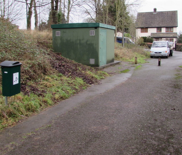
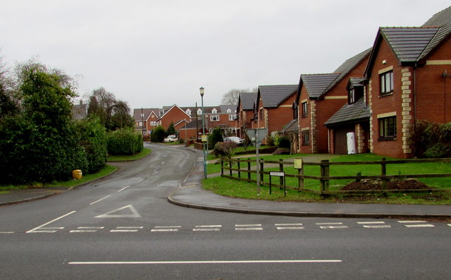
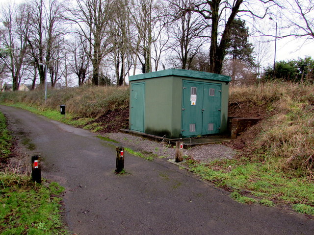
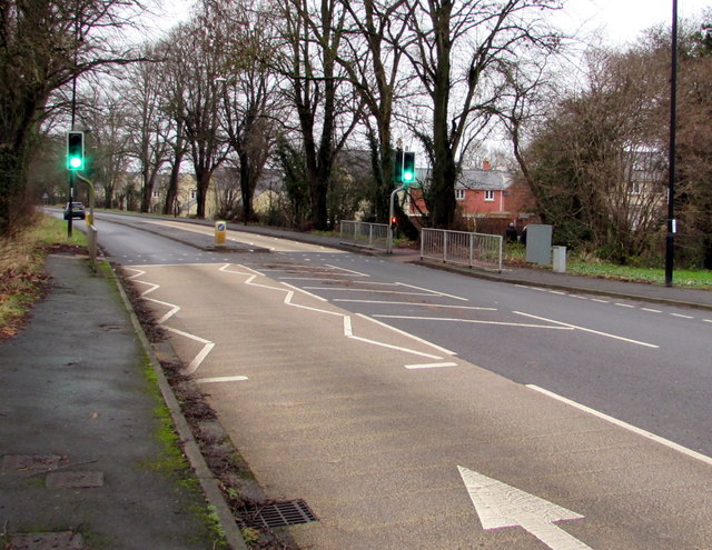
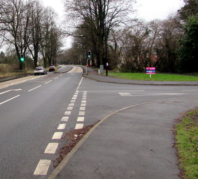
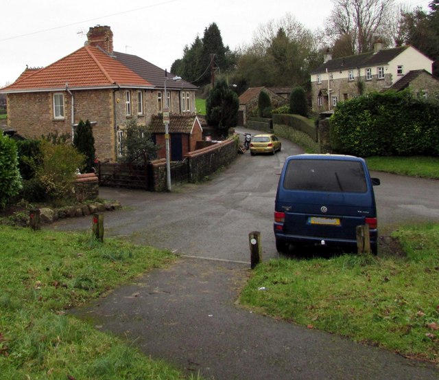
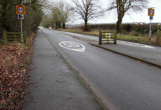
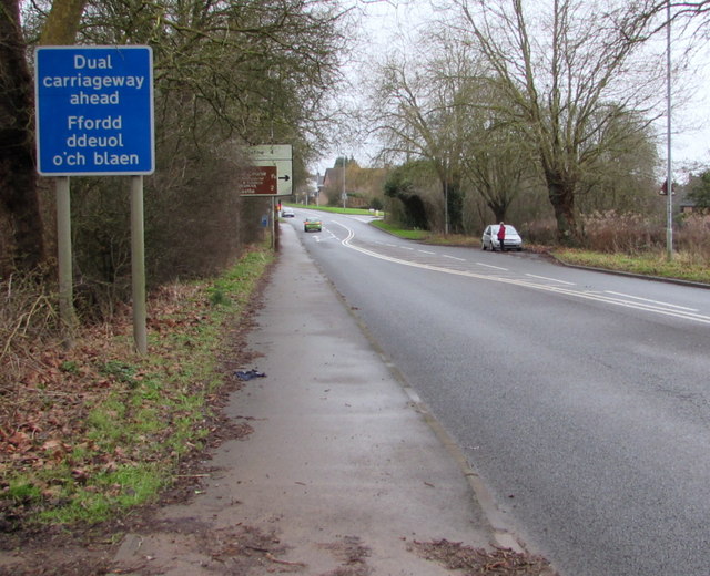
Ballan Moor Images
Images are sourced within 2km of 51.602088/-2.743796 or Grid Reference ST4889. Thanks to Geograph Open Source API. All images are credited.


Ballan Moor is located at Grid Ref: ST4889 (Lat: 51.602088, Lng: -2.743796)
Unitary Authority: Monmouthshire
Police Authority: Gwent
What 3 Words
///excuse.veto.mingles. Near Caldicot, Monmouthshire
Nearby Locations
Related Wikis

Nedern Brook Wetlands
The Nedern Brook Wetland is a flood meadow habitat near Caldicot, Monmouthshire, Wales, designated since 1988 as a Site of Special Scientific Interest...

Caldicot Castle (electoral ward)
Caldicot Castle is an electoral ward in the town of Caldicot, Monmouthshire, Wales. The ward elects councillors to Caldicot Town Council and Monmouthshire...
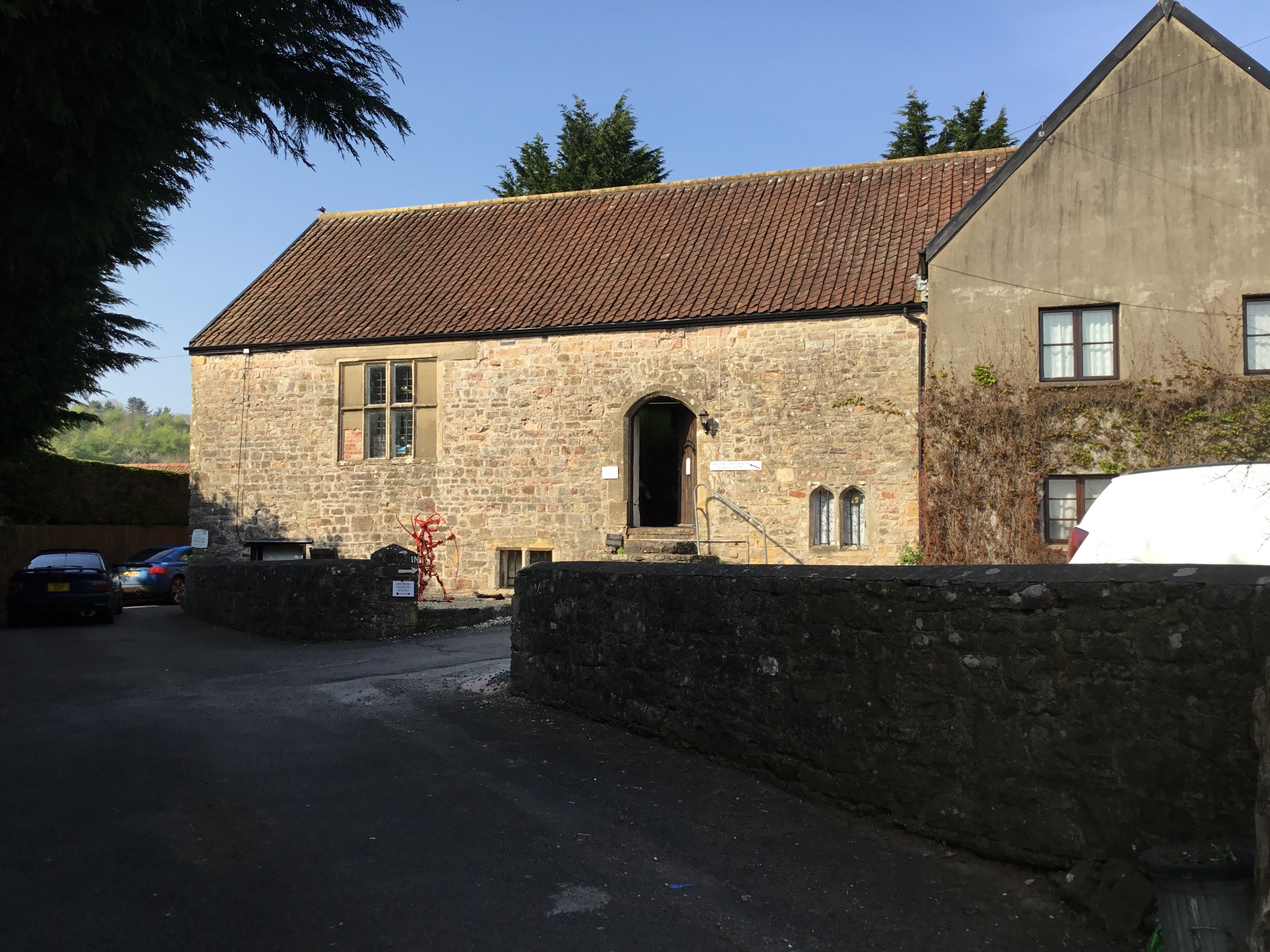
Church Farmhouse, Caldicot
Church Farmhouse, Caldicot, Monmouthshire is a substantial grange building which was a working farmhouse before 1205. It is connected to both Llanthony...
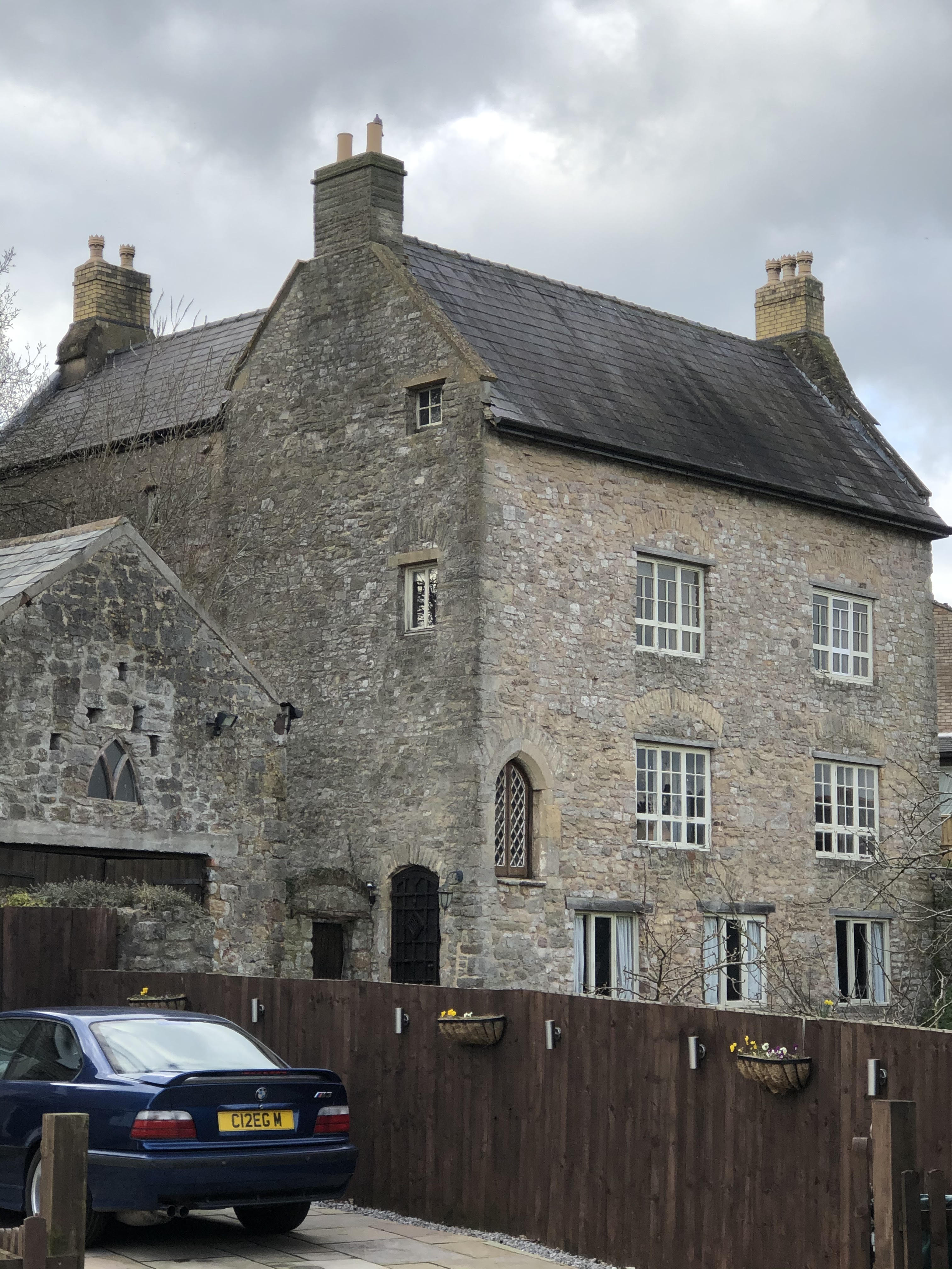
Manor Farmhouse, Crick
Manor Farmhouse, or Crick Manor, Crick, Monmouthshire is a late medieval manor house dating from the 15th century. The buildings comprise a chapel, of...
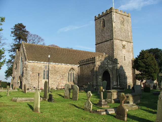
St Mary's Church, Caldicot
St Mary's Church, also called St Mary Virgin Church, is a Church in Wales parish church in Caldicot, Monmouthshire, Wales. There is evidence that the church...
Crick, Monmouthshire
Crick (Welsh: Crug) is a small village or hamlet in the Welsh county of Monmouthshire, United Kingdom. It is located on the A48 road 1 mile north of the...
Caldicot, Monmouthshire
Caldicot (Welsh: Cil-y-coed) is a market town and community in Monmouthshire, Wales. The town is located between Chepstow and the city of Newport. The...
Caldicot Town F.C.
Caldicot Town Athletic Football Club (Welsh: Clwb Pêl Droed Tref Cil-y-coed) is a Welsh football club. The team play in the Ardal Leagues South East, in...
Nearby Amenities
Located within 500m of 51.602088,-2.743796Have you been to Ballan Moor?
Leave your review of Ballan Moor below (or comments, questions and feedback).