Bogie Brae

Downs, Moorland in Aberdeenshire

Scotland

Bogie Brae

Junction at Auchindoir
Junction at Auchindoir Credit: Peter Moore

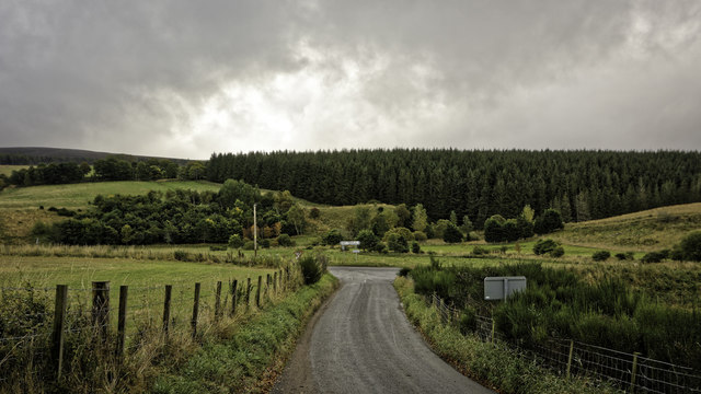
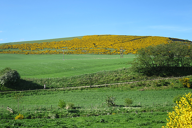
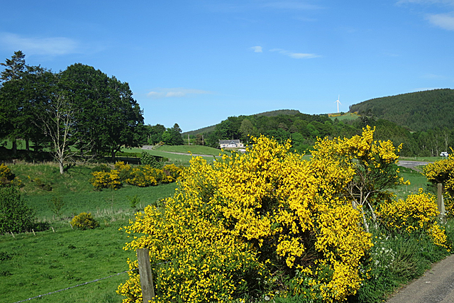
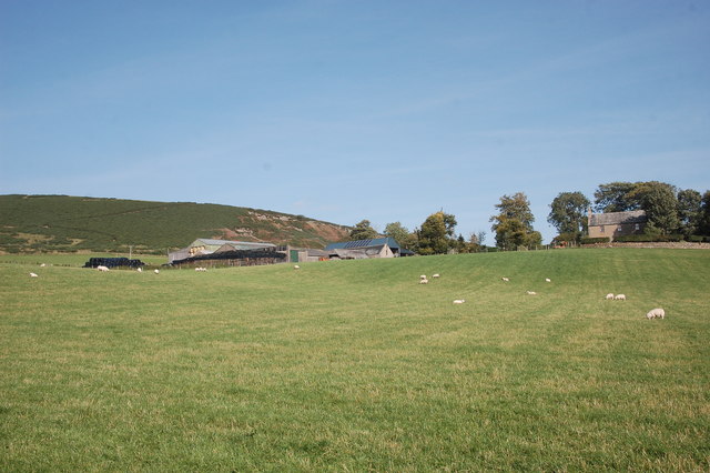
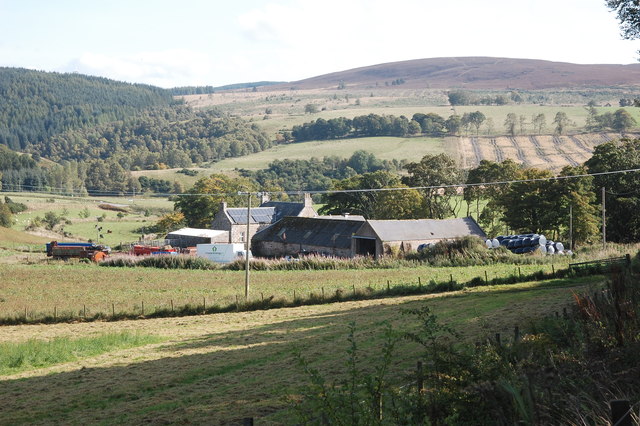
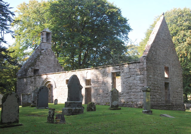
Bogie Brae is a picturesque area located in Aberdeenshire, Scotland. It is situated amidst the beautiful Downs and Moorland landscapes, offering visitors a unique blend of natural beauty and tranquility. With its rolling hills, vast open spaces, and breathtaking views, Bogie Brae is a haven for nature lovers and outdoor enthusiasts.

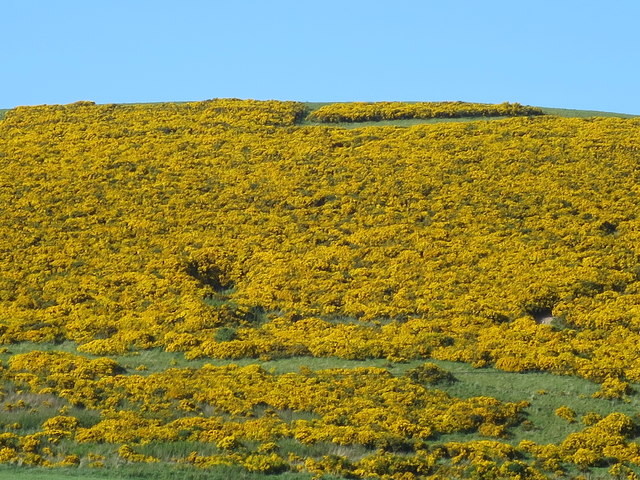
The area is characterized by its diverse ecosystem, consisting of heather-clad moorlands, glistening lochs, and scattered woodlands. This variety of habitats supports a rich array of wildlife, making Bogie Brae a popular spot for birdwatching and wildlife observation. Visitors may be lucky enough to spot rare species such as red deer, golden eagles, and red squirrels.

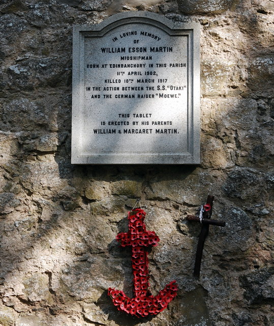
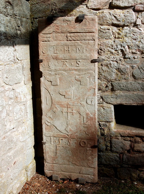
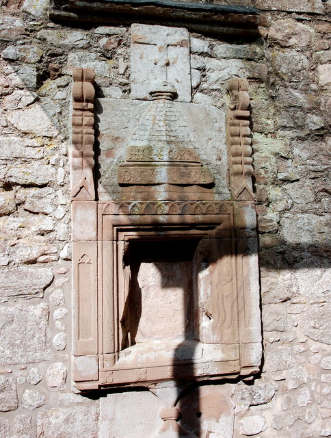
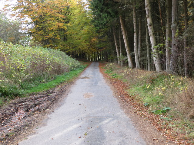
Hiking and walking trails crisscross the landscape, allowing visitors to explore the area at their own pace. The trails lead through heathland, passing by babbling streams and ancient stone circles, enhancing the sense of history and mystery that surrounds Bogie Brae.

Additionally, the area offers opportunities for fishing in its well-stocked lochs, as well as horse riding and cycling along its scenic routes. For those seeking a more relaxed experience, there are plenty of picnic spots where one can enjoy a packed lunch while taking in the breathtaking views.

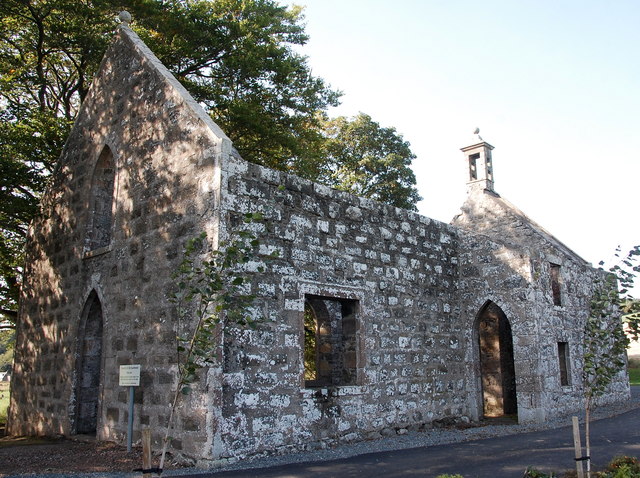
Bogie Brae is also home to a charming village, where visitors can find local amenities, including quaint shops, cozy cafes, and traditional pubs. The village provides a warm welcome to visitors, offering a taste of Scottish hospitality and a chance to immerse oneself in the local culture.

In summary, Bogie Brae in Aberdeenshire is a captivating destination for those seeking to escape the hustle and bustle of city life and reconnect with nature. Its idyllic landscapes, diverse wildlife, and range of outdoor activities make it a must-visit location for nature enthusiasts and adventurers alike.

If you have any feedback on the listing, please let us know in the comments section below.
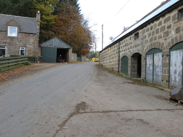
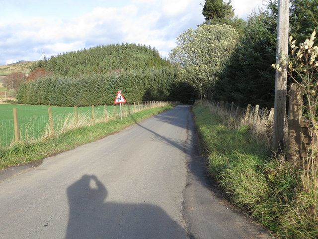
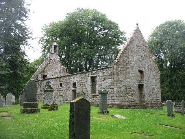
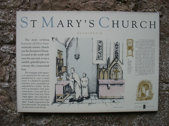
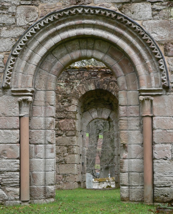
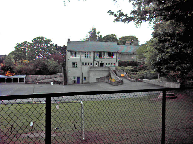
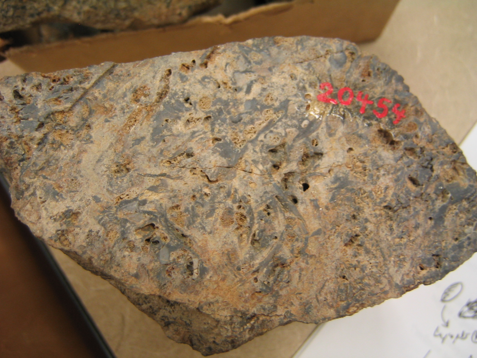
Bogie Brae Images

Images are sourced within 2km of 57.307354/-2.8596941 or Grid Reference NJ4824. Thanks to Geograph Open Source API. All images are credited.

Junction at Auchindoir
Near Newton of Auchindoir Green farmland and golden whins above the Water of Bogie.
Near Newton of Auchindoir
Green farmland and golden whins above the Water of Bogie.
Whins on Quarry Hill A blaze of gold on the south slope of Quarry Hill at Auchindoir. There are probably both broom and whins but at this range it's hard to distinguish one from the other.
Whins on Quarry Hill
A blaze of gold on the south slope of Quarry Hill at Auchindoir. There are probably both broom and whins but at this range it's hard to distinguish one from the other.
Broom at Glenbogie The broom this year is the best I ever remember seeing. This bush is just above the Water of Bogie, and the house in the Background is Glenbogie.
Broom at Glenbogie
The broom this year is the best I ever remember seeing. This bush is just above the Water of Bogie, and the house in the Background is Glenbogie.
Upland farm Newton of Auchindoir farm, with the escarpment of Quarry Hill in the background.
Upland farm
Newton of Auchindoir farm, with the escarpment of Quarry Hill in the background.
Auchindoir old kirk The tiny parish kirk was built in 1811 to replace the medieval St Mary's kirk about 1 km to the west.  It fell into ruin as recently as the 1970s, having been superseded by the former UP church in Lumsden village about 2.5 km to the south.
Auchindoir old kirk
The tiny parish kirk was built in 1811 to replace the medieval St Mary's kirk about 1 km to the west. It fell into ruin as recently as the 1970s, having been superseded by the former UP church in Lumsden village about 2.5 km to the south.
Memorial to a boy sailor Memorial on the north wall of the ruined Auchindoir kirk to William Martin, who died at age 14 in a naval 'action' in the mid-Atlantic of 10 March 1917: <span class="nowrap"><a title="https://en.wikipedia.org/wiki/Action_of_10_March_1917#Action" rel="nofollow ugc noopener" href="https://en.wikipedia.org/wiki/Action_of_10_March_1917#Action">Link</a><img style="margin-left:2px;" alt="External link" title="External link - shift click to open in new window" src="https://s1.geograph.org.uk/img/external.png" width="10" height="10"/></span> .   The captain of the Otaki was awarded a posthumous Victoria Cross: <span class="nowrap"><a title="https://en.wikipedia.org/wiki/Archibald_Bisset_Smith" rel="nofollow ugc noopener" href="https://en.wikipedia.org/wiki/Archibald_Bisset_Smith">Link</a><img style="margin-left:2px;" alt="External link" title="External link - shift click to open in new window" src="https://s1.geograph.org.uk/img/external.png" width="10" height="10"/></span> .
Memorial to a boy sailor
Memorial on the north wall of the ruined Auchindoir kirk to William Martin, who died at age 14 in a naval 'action' in the mid-Atlantic of 10 March 1917: LinkExternal link . The captain of the Otaki was awarded a posthumous Victoria Cross: LinkExternal link .
Milton of Auchindoir farm
St Mary's kirk, Auchindoir The ruined rectangular kirk is thought to date from around 1200 and features a magnificent Romanesque south door and a sacrament house, grave slab and heraldic panels from the 16th Century.  Grade-A listed (LB2732): <span class="nowrap"><a title="http://portal.historicenvironment.scot/designation/LB2732" rel="nofollow ugc noopener" href="http://portal.historicenvironment.scot/designation/LB2732">Link</a><img style="margin-left:2px;" alt="External link" title="External link - shift click to open in new window" src="https://s1.geograph.org.uk/img/external.png" width="10" height="10"/></span> .
St Mary's kirk, Auchindoir
The ruined rectangular kirk is thought to date from around 1200 and features a magnificent Romanesque south door and a sacrament house, grave slab and heraldic panels from the 16th Century. Grade-A listed (LB2732): LinkExternal link .
Grave slab, St Mary's kirk, Auchindoir The slab is thought to commemorate James Gordon of Tillyangus and his wife Christian Leith (see: Memorials of the family of Gordon of Craig, edited by D Wimberley, 1904, p. 8).  Note the archaic placement of the arms of Gordon (Azure three boars' heads couped or) above those of Leith (Or, a cross crosslet fitchee sable between three fusils azure).
Grave slab, St Mary's kirk, Auchindoir
The slab is thought to commemorate James Gordon of Tillyangus and his wife Christian Leith (see: Memorials of the family of Gordon of Craig, edited by D Wimberley, 1904, p. 8). Note the archaic placement of the arms of Gordon (Azure three boars' heads couped or) above those of Leith (Or, a cross crosslet fitchee sable between three fusils azure).
Sacrament house, St Mary's kirk, Auchindoir An unlikely survivor from the early 16th Century, being thoroughly inconsistent with reformed worship.
Sacrament house, St Mary's kirk, Auchindoir
An unlikely survivor from the early 16th Century, being thoroughly inconsistent with reformed worship.
Minor road to Cot Hill Looking southward.
Minor road to Cot Hill
Looking southward.
Road (B9002) through Craig Castle Looking north-westward.
Road (B9002) through Craig Castle
Looking north-westward.
Road (B9002) near Fountainhead Looking north-eastward.
Road (B9002) near Fountainhead
Looking north-eastward.
The ruined St Mary's Kirk, Auchindoir
St Mary's Church, Auchindoir Historic Scotland description of the site.
St Mary's Church, Auchindoir
Historic Scotland description of the site.
St Mary's kirkyard, Auchindoir
The B9002 nearing Craig Castle
Show me another place!

Bogie Brae is located at Grid Ref: NJ4824 (Lat: 57.307354, Lng: -2.8596941)

Unitary Authority: Aberdeenshire

Police Authority: North East

What 3 Words

///universal.tank.factory. Near Alford, Aberdeenshire

Related Wikis

Nearby Amenities

Located within 500m of 57.307354,-2.8596941
Passing Place
Passing Place: right
Lat/Long: 57.3088927/-2.8617655
Power: pole
Lat/Long: 57.3116339/-2.8575663
Power: pole
Lat/Long: 57.3110869/-2.8585208
Power: pole
Lat/Long: 57.3105485/-2.8594346
Power: pole
Lat/Long: 57.3100304/-2.8603578
Power: pole
Lat/Long: 57.3095946/-2.8610768
Power: pole
Lat/Long: 57.3091562/-2.8618147
Power: pole
Lat/Long: 57.3085549/-2.8619811
Power: pole
Lat/Long: 57.3081301/-2.8620848
Power: pole
Lat/Long: 57.3073711/-2.8623061
Power: pole
Lat/Long: 57.306591/-2.8624977
Power: pole
Lat/Long: 57.3058676/-2.8626971
Power: pole
Lat/Long: 57.3051391/-2.8628651
Power: pole
Lat/Long: 57.3047498/-2.862986
Power: pole
Lat/Long: 57.3040035/-2.8631995
Power: pole
Lat/Long: 57.3054537/-2.8633533
Power: pole
Lat/Long: 57.3063696/-2.8615871
Power: pole
Lat/Long: 57.3067987/-2.860835
Power: pole
Lat/Long: 57.3072456/-2.8600485
Power: pole
Lat/Long: 57.3075034/-2.8595947
Power: pole
Lat/Long: 57.3076874/-2.8589228
Power: pole
Lat/Long: 57.3081242/-2.8579494
Power: pole
Lat/Long: 57.3085685/-2.8569398
Power: pole
Lat/Long: 57.3090179/-2.8559068
Power: pole
Lat/Long: 57.3094657/-2.8548973
Power: pole
Lat/Long: 57.3096336/-2.8545157
Power: pole
Lat/Long: 57.3099592/-2.8537559
Power: pole
Lat/Long: 57.3104663/-2.8565159
Power: pole
Lat/Long: 57.3103043/-2.8558691
Power: pole
Lat/Long: 57.3100991/-2.8550731
Power: pole
Lat/Long: 57.309832/-2.8539725
Man Made: mast
Lat/Long: 57.3103068/-2.8548643
Power: pole
Lat/Long: 57.3053604/-2.8631963
Power: pole
Lat/Long: 57.3055843/-2.8635323
Power: pole
Lat/Long: 57.3059176/-2.8646125
Power: pole
Lat/Long: 57.3061161/-2.8652735
Power: pole
Lat/Long: 57.3063077/-2.8658308
Power: pole
Lat/Long: 57.3066639/-2.865823
Power: pole
Lat/Long: 57.3071719/-2.8661637
Power: pole
Lat/Long: 57.3075569/-2.8665295
Power: pole
Lat/Long: 57.3079198/-2.8667399
Power: pole
Lat/Long: 57.3083921/-2.8670507
Power: pole
Lat/Long: 57.3088238/-2.8673317
Power: pole
Lat/Long: 57.3069599/-2.8655498
Power: pole
Lat/Long: 57.3073881/-2.865465
Power: pole
Lat/Long: 57.304159/-2.863882
Power: pole
Lat/Long: 57.3038899/-2.8643415
Power: pole
Lat/Long: 57.3047574/-2.8660925
Power: pole
Lat/Long: 57.3051676/-2.8659619
Power: pole
Lat/Long: 57.305532/-2.8658482
The data included in this document is from www.openstreetmap.org. The data is made available under ODbL.

Have you been to Bogie Brae?

Leave your review of Bogie Brae below (or comments, questions and feedback).