Black Down
Downs, Moorland in Somerset Mendip
England
Black Down
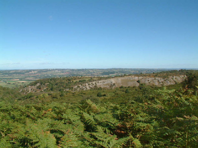
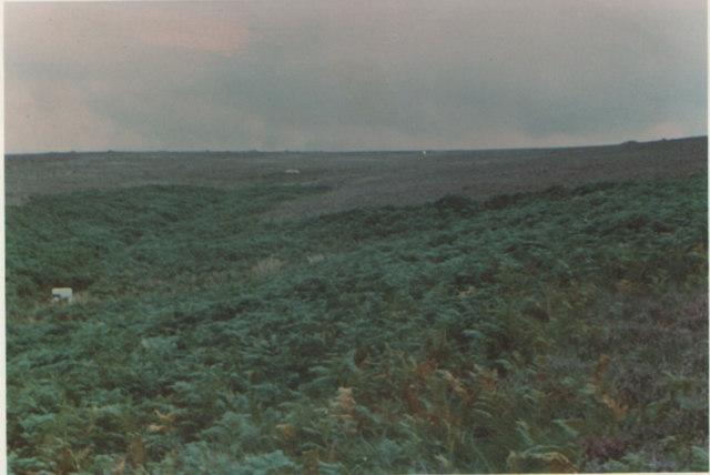
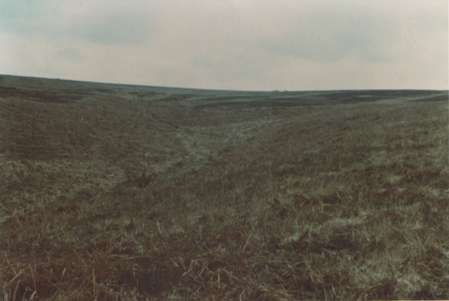
Black Down is a prominent hill located in Somerset, England, known for its picturesque landscape and diverse wildlife. Situated within the Quantock Hills Area of Outstanding Natural Beauty, it is the highest point in the range, reaching an elevation of 1,016 feet (309 meters).
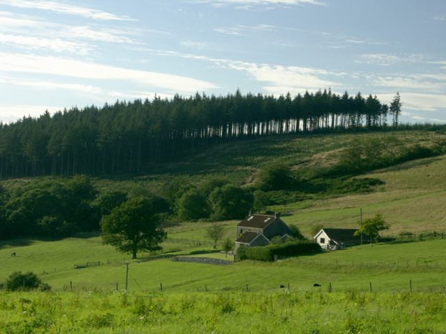
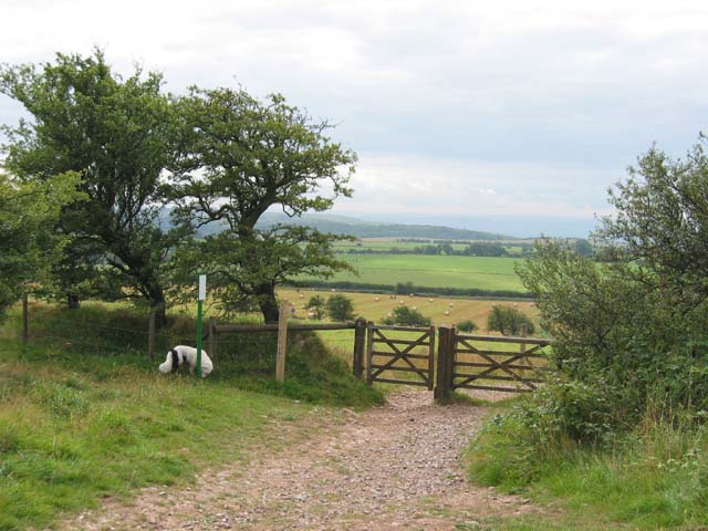
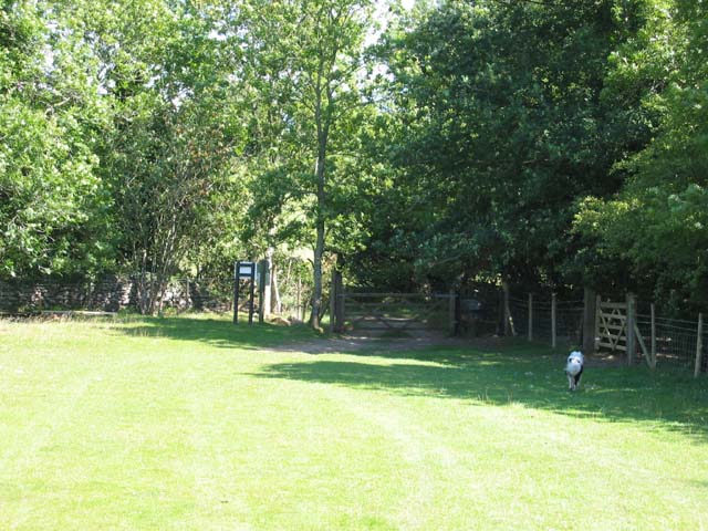
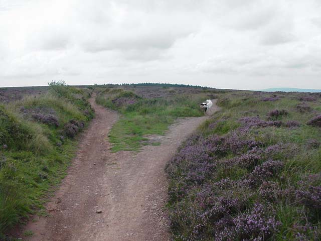
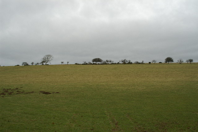
Covering an area of approximately 2,000 acres, Black Down consists of a mixture of heathland, moorland, and woodland, providing a rich and varied habitat for a range of plant and animal species. The hill is predominantly covered in heather and gorse, which bloom in vibrant colors during the summer months, creating a stunning visual spectacle.
The area is a haven for nature enthusiasts and hikers, offering numerous walking trails that traverse the hill and provide stunning panoramic views of the surrounding countryside. Popular routes include the circular Black Down Hill Walk, which offers a moderate challenge and takes visitors through heathland and wooded areas. The hill is also intersected by the Coleridge Way, a long-distance footpath that stretches for 51 miles (82 kilometers) across the Quantock Hills.
Wildlife is abundant on Black Down, with sightings of red deer, Exmoor ponies, and a variety of bird species such as skylarks and stonechats. The hill is also home to several rare butterfly species, including the Pearl-bordered fritillary and the Silver-studded blue.
With its stunning natural beauty and rich biodiversity, Black Down is a popular destination for nature lovers, hikers, and those seeking a peaceful retreat in the heart of Somerset.
If you have any feedback on the listing, please let us know in the comments section below.
Black Down Images
Images are sourced within 2km of 51.315236/-2.7562066 or Grid Reference ST4757. Thanks to Geograph Open Source API. All images are credited.


Black Down is located at Grid Ref: ST4757 (Lat: 51.315236, Lng: -2.7562066)
Administrative County: Somerset
District: Mendip
Police Authority: Avon and Somerset
What 3 Words
///finishers.bookshop.level. Near Burrington, Somerset
Nearby Locations
Related Wikis

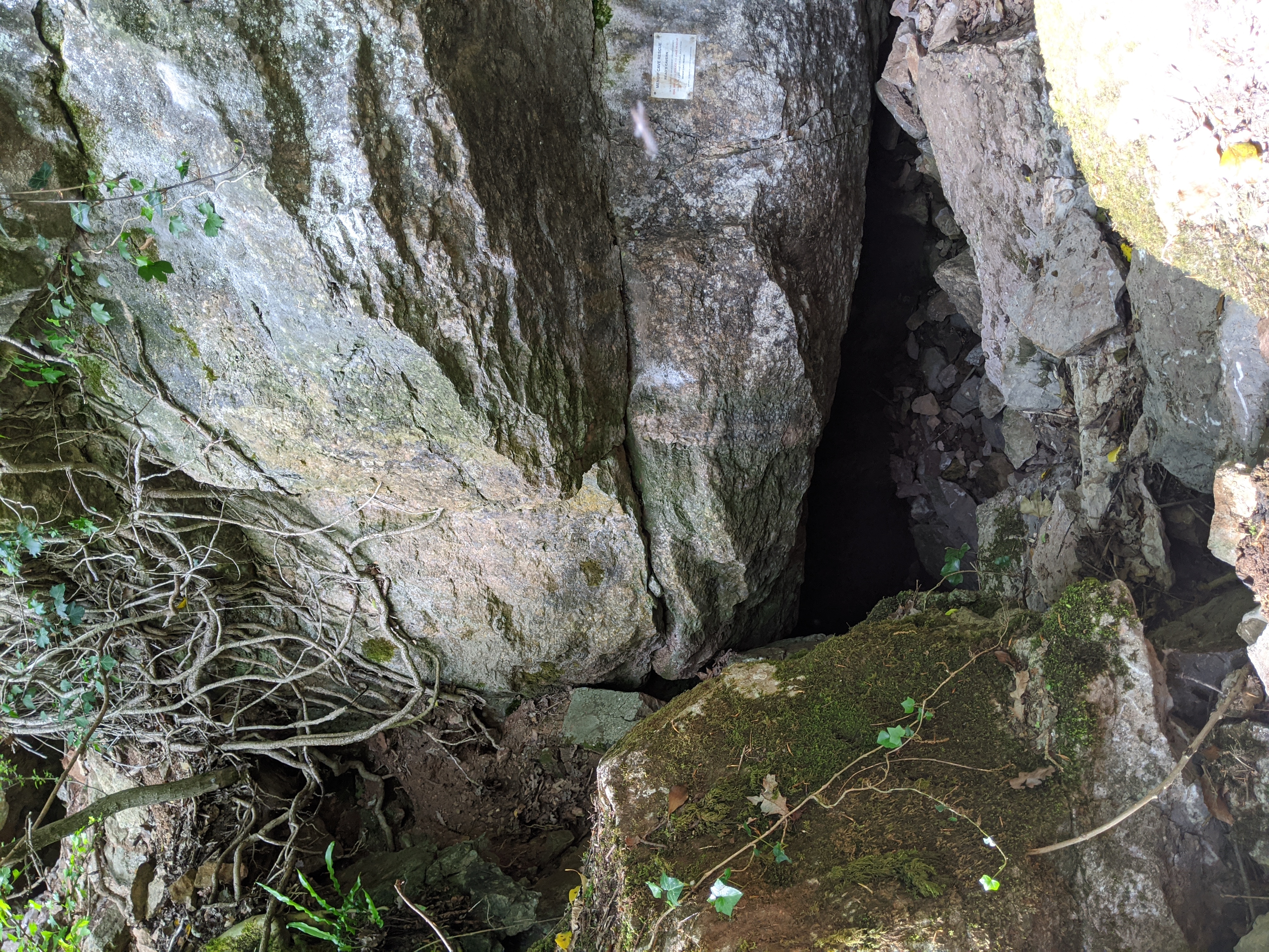
Goatchurch Cavern
Goatchurch Cavern is a cave on the edge of Burrington Combe in the limestone of the Mendip Hills, in Somerset, England. == Description == Due to early...

Sidcot Swallet
Sidcot Swallet is a cave near Burrington Combe, in the Carboniferous Limestone of the Mendip Hills, in Somerset, England. It was named after the Sidcot...
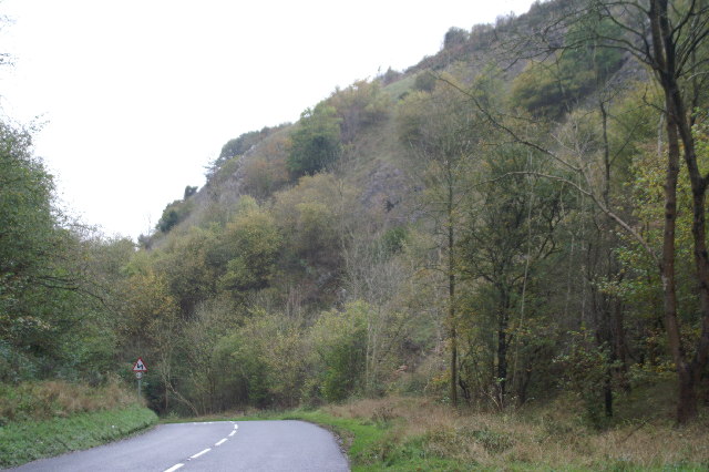
Burrington Combe
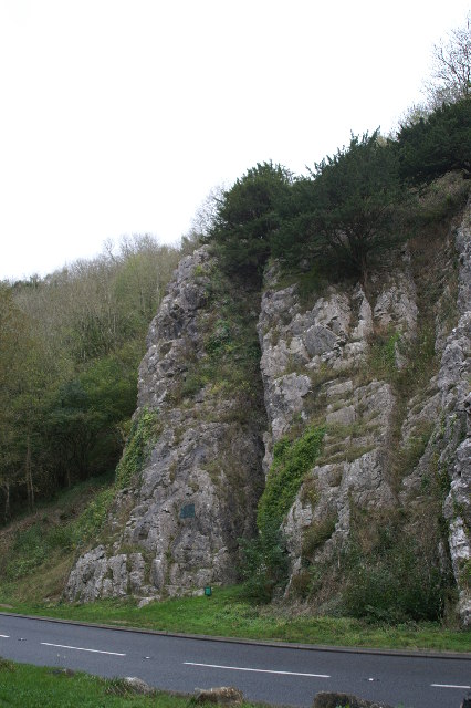
Burrington Combe is a Carboniferous Limestone gorge near the village of Burrington, on the north side of the Mendip Hills Area of Outstanding Natural Beauty...
Read's Cavern
Read's Cavern is a cave at Burrington Combe, Somerset, England, in which traces of Iron Age occupation have been found. It lies under Dolbury Hill. Its...
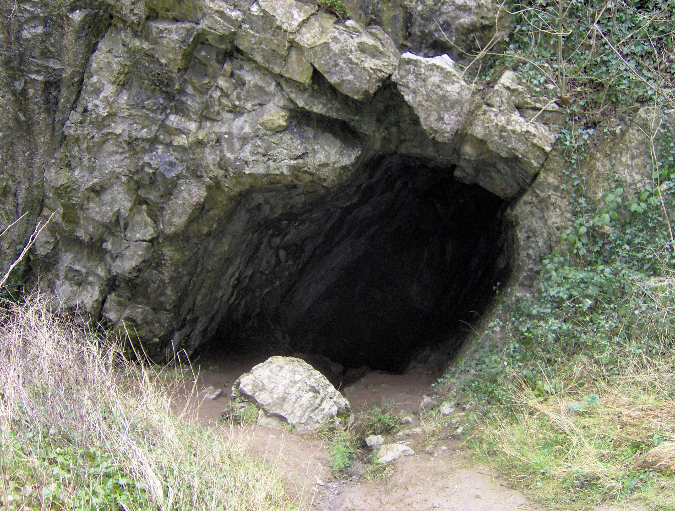
Aveline's Hole
Aveline's Hole is a cave at Burrington Combe in the limestone of the Mendip Hills, in Somerset, England. The earliest scientifically dated cemetery in...
Black Down, Somerset
Black Down is the highest hill in the Mendip Hills, Somerset, in south-western England. Black Down lies just a few miles eastward of the Bristol Channel...

Burrington Camp
Burrington Camp, also known as Burrington Ham, is an Iron Age hill fort in the North Somerset district of Somerset, England. The hill fort is situated...
Tyning's Barrow Swallet
Tyning's Barrow Swallet (grid reference ST47135638) is a cave between Charterhouse and Shipham in the limestone of the Mendip Hills, in Somerset, England...
Have you been to Black Down?
Leave your review of Black Down below (or comments, questions and feedback).