Low Meadows
Downs, Moorland in Lancashire West Lancashire
England
Low Meadows
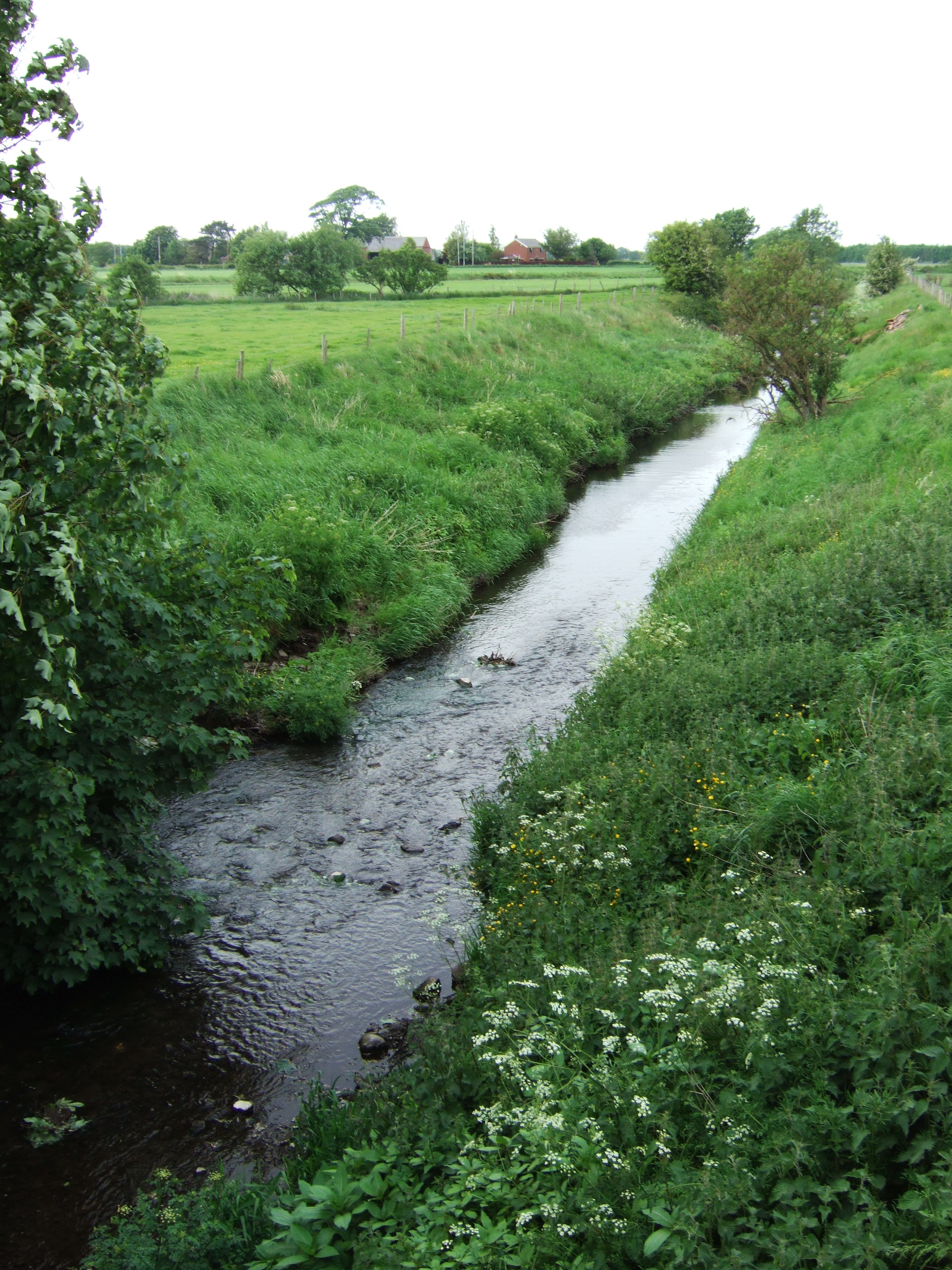
Low Meadows is a scenic area located in the county of Lancashire, England. Nestled amidst the picturesque countryside, it is known for its stunning downs and vast moorland. Covering an area of approximately 100 square kilometers, this region boasts a diverse landscape that captivates visitors with its natural beauty.
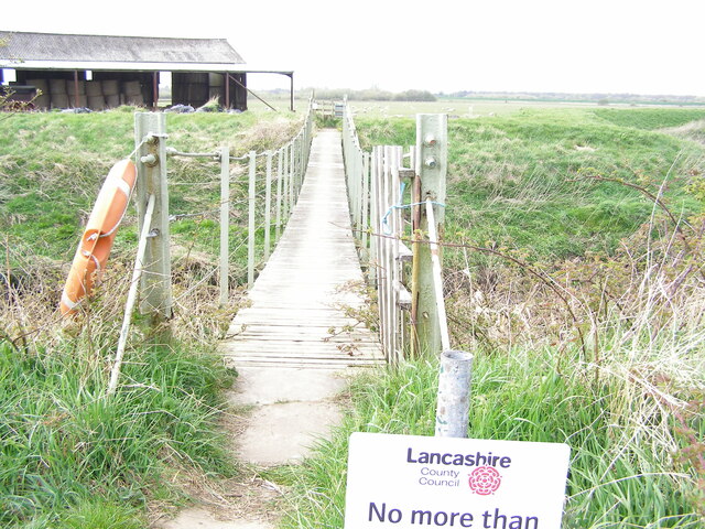
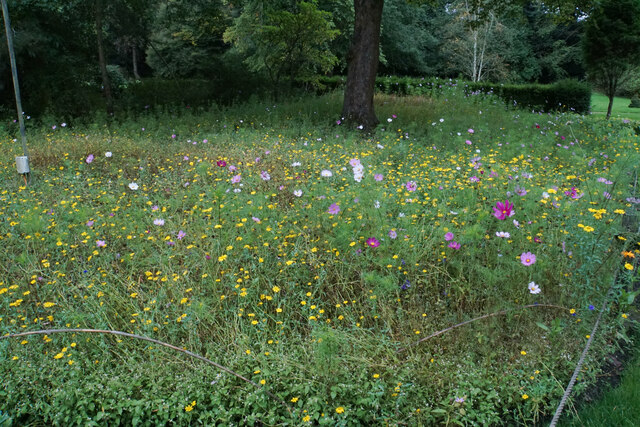
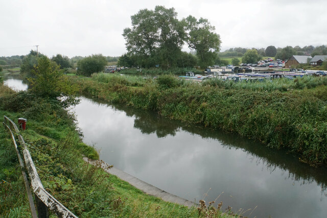
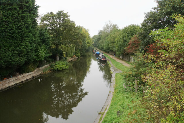
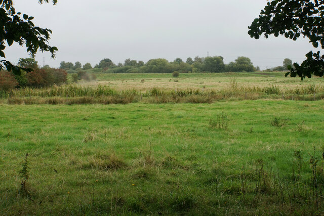
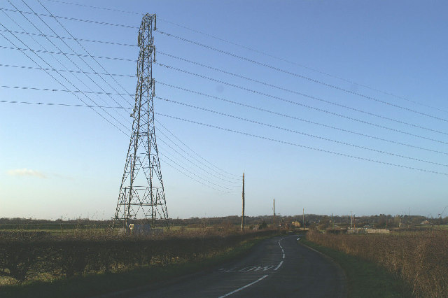
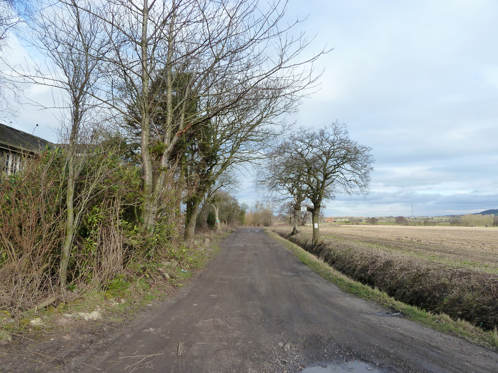
The downs of Low Meadows are characterized by rolling hills and expansive grasslands, offering breathtaking views of the surrounding countryside. These downs are home to a rich variety of flora and fauna, including wildflowers, grasses, and an array of bird species. Walking trails meander through the downs, providing opportunities for outdoor enthusiasts to explore the area and immerse themselves in its tranquility.
The moorland of Low Meadows is another highlight of the region. This rugged terrain is characterized by vast stretches of heather and peat bogs, creating a unique and striking landscape. The moorland is home to several species of birds, including grouse and curlews, and provides a habitat for a variety of plant species adapted to the challenging conditions.
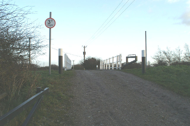
Low Meadows offers a range of recreational activities for visitors to enjoy. Walking and hiking are popular pastimes, with numerous trails catering to various abilities. The area also attracts birdwatchers, who come to observe the diverse avian population that inhabits the downs and moorland.
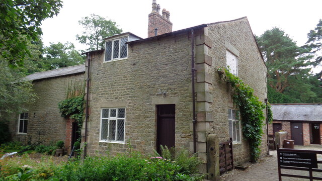
In addition to its natural beauty, Low Meadows is dotted with charming villages and traditional Lancashire stone houses, adding to the region's allure. The local communities are known for their warm hospitality, and visitors can explore quaint shops and sample local delicacies in the village pubs and tearooms.
Overall, Low Meadows, Lancashire (Downs, Moorland) is a captivating destination that offers a unique blend of natural beauty, outdoor activities, and rural charm.
If you have any feedback on the listing, please let us know in the comments section below.
Low Meadows Images
Images are sourced within 2km of 53.621591/-2.8036947 or Grid Reference SD4614. Thanks to Geograph Open Source API. All images are credited.


Low Meadows is located at Grid Ref: SD4614 (Lat: 53.621591, Lng: -2.8036947)
Administrative County: Lancashire
District: West Lancashire
Police Authority: Lancashire
What 3 Words
///guards.companies.pushover. Near Rufford, Lancashire
Nearby Locations
Related Wikis

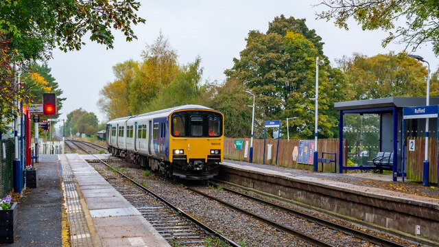
Rufford railway station
Rufford railway station, opened on 2 April 1849, serves the village of Rufford in Lancashire, England. The station is (9½ miles) south west of Preston...

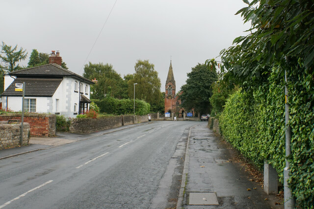
Rufford, Lancashire
Rufford is a village in West Lancashire, England, where the Leeds and Liverpool Canal, Liverpool, Ormskirk and Preston Railway, the A59 and the River Douglas...
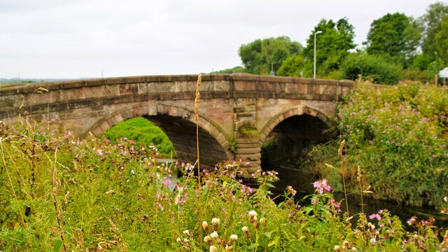
River Tawd
The River Tawd flows through Skelmersdale and Lathom in West Lancashire. Tawd Bridge carried Ormskirk Road, the main arterial road from Wigan to Ormskirk...

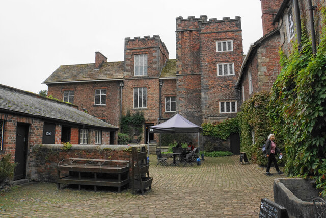
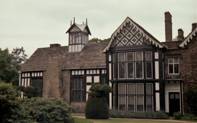
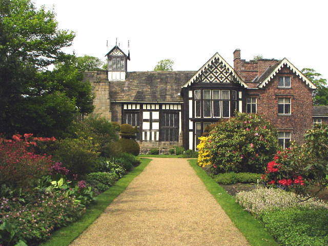
Rufford Old Hall
Rufford Old Hall is a National Trust property in Rufford, Lancashire, England. Built in about 1530 for Sir Robert Hesketh, only the Great Hall survives...

St Peter's Church, Mawdesley
St Peter's Church is in High Street in the village of Mawdesley, Lancashire, England. It is an active Anglican parish church in the deanery of Chorley...

Bispham Green
Bispham Green is a village in the West Lancashire district of Lancashire, England. It is 1 mile (1.6 km) south of Mawdesley and less than 1 mile (1.6 km...
Hoscar
Hoscar is a small village in Lancashire, England. It is located 1¼ miles (2 km) east of the larger village of Burscough. == Etymology == The name Hoscar...
Mawdesley
Mawdesley is a village and civil parish in Lancashire, England, which had a population of 1,702 as per the 2011 Census. == History == The name Mawdesley...
Related Videos

Mawdesley and Bispham Walking Day 2023
Another year and another walking day, very lucky this year good weather for the walk but torrential thunder storms soon after, I did ...

Mawdesley Village Walking Day, July 9th 2022
Lovely sunny day for Mawdesley Village annual walking day, back again after 2 year absence owing to Covid restrictions, good ...

Shimano S.T.C TE Mini Telescopic Travel Rod | On The Bank Review
Shimano S.T.C Mini Telescopic Travel Rod | On The Bank Review Welcome back to another product test and review! Today it's ...

Mawdesley Village Spring Morning, Beautiful!
Doesn't matter if its dark short days of winter, or bright longer day of summer, always something good to see and hear in the ...
Nearby Amenities
Located within 500m of 53.621591,-2.8036947Have you been to Low Meadows?
Leave your review of Low Meadows below (or comments, questions and feedback).