Little Harter Fell
Downs, Moorland in Westmorland South Lakeland
England
Little Harter Fell
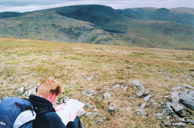
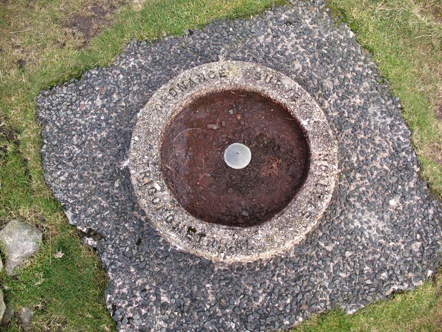
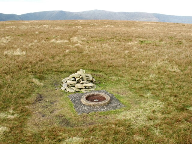
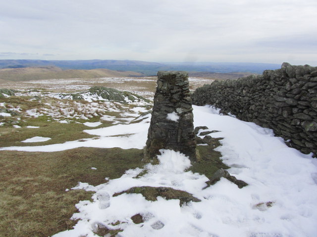
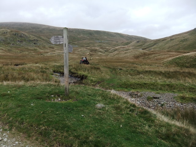
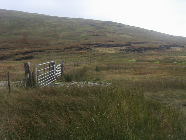
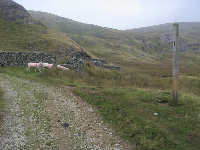
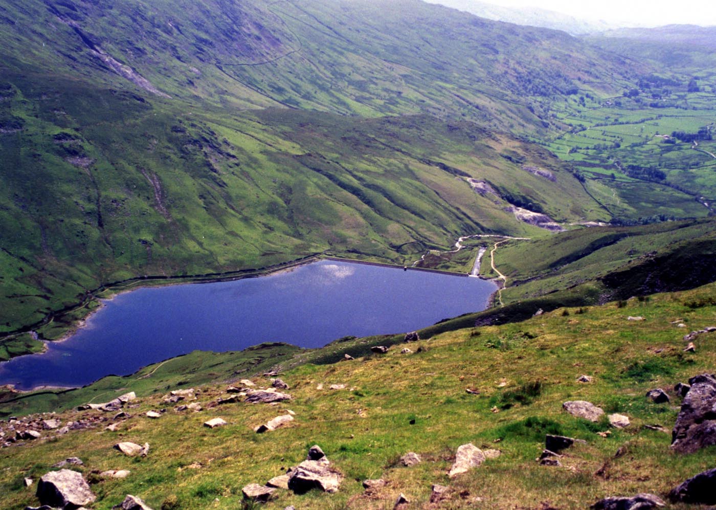
Little Harter Fell is a prominent hill located in the county of Westmorland, England. Situated in the heart of the Lake District National Park, it forms part of the Eastern Fells range, which stretches from Ullswater to Haweswater. With an elevation of 639 meters (2,096 feet), it is a popular destination for hikers and nature enthusiasts.
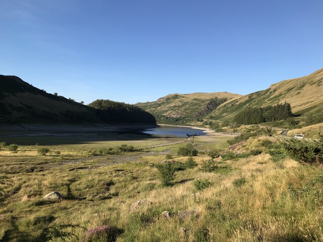
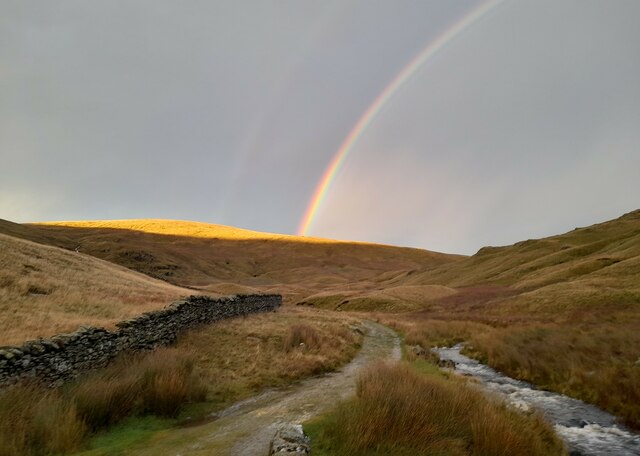
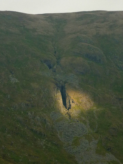
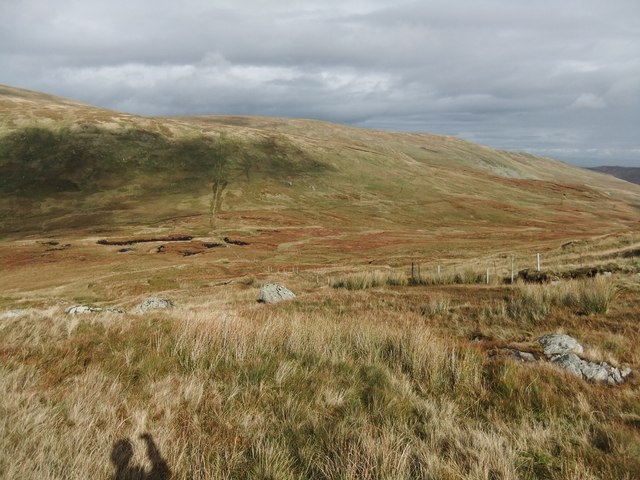
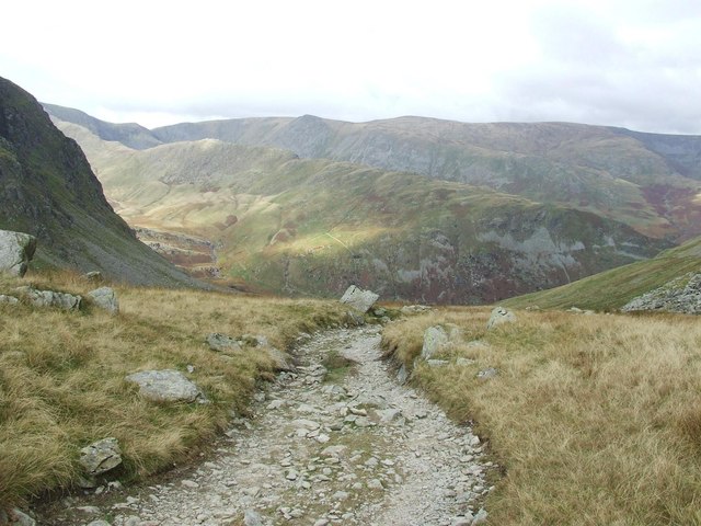
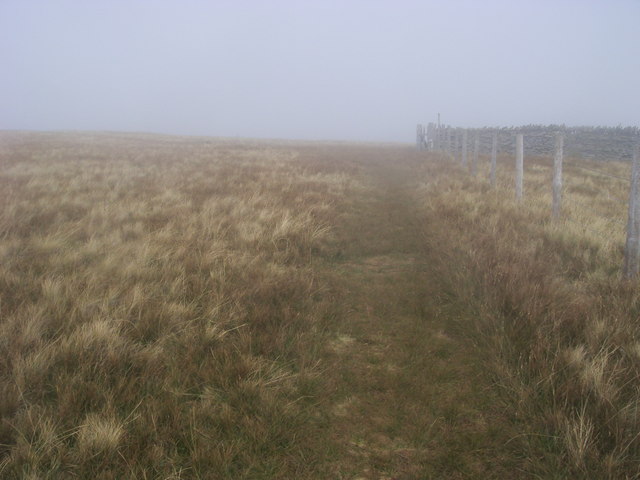
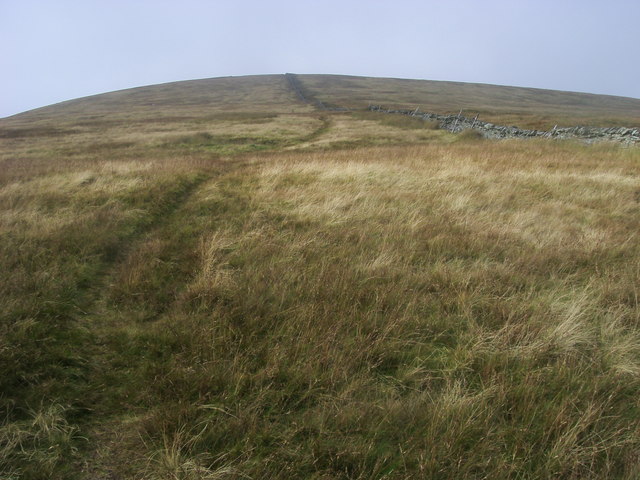
The terrain of Little Harter Fell consists of a mixture of grassy slopes, rocky outcrops, and heather-covered moorland. Its summit offers breathtaking panoramic views of the surrounding fells, including the iconic Helvellyn and High Street peaks. On a clear day, one can also see the shimmering waters of Haweswater Reservoir to the east.
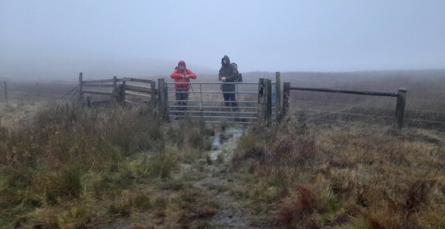
The ascent of Little Harter Fell can be undertaken from various starting points, such as Mardale Head or Bampton. The most commonly used route is a circular walk that combines the climb with other nearby fells, including Harter Fell and Branstree. This longer hike allows visitors to fully appreciate the beauty of the area and provides ample opportunities for wildlife spotting, as the hill is home to a variety of bird species and mountain hares.
Little Harter Fell's remote location and rugged landscape make it an ideal destination for those seeking solitude and a sense of adventure. Whether it is a challenging hike or a peaceful stroll through the moorland, this hill has something to offer every type of outdoor enthusiast.
If you have any feedback on the listing, please let us know in the comments section below.
Little Harter Fell Images
Images are sourced within 2km of 54.476019/-2.8239864 or Grid Reference NY4609. Thanks to Geograph Open Source API. All images are credited.


Little Harter Fell is located at Grid Ref: NY4609 (Lat: 54.476019, Lng: -2.8239864)
Administrative County: Cumbria
District: South Lakeland
Police Authority: Cumbria
What 3 Words
///forces.schools.proofread. Near Ambleside, Cumbria
Nearby Locations
Related Wikis

Harter Fell (Mardale)
Harter Fell is a fell in the far eastern part of the English Lake District. The summit at lies the meeting point of three ridges, and Harter Fell forms...

Branstree
Branstree is a fell in the Far Eastern part of the English Lake District. It overlooks the valley of Mardale and Haweswater Reservoir. == Topography... ==

Kentmere Pike
Kentmere Pike is a fell in the English Lake District, rising between the valleys of Kentmere and Longsleddale. It is the highpoint on the ridge between...

Mardale Ill Bell
Mardale Ill Bell is a fell in the English Lake District, rising to the south west of Haweswater Reservoir. It stands on the watershed between Mardale and...

Blea Water
Blea Water is a tarn or corrie lake which occupies a glacially excavated hollow immediately to the east of High Street in the Lake District, England. At...
Kentmere Reservoir
Kentmere Reservoir is a water storage facility situated in the Kentmere valley in the county of Cumbria, England. It is located 10.5 kilometres (6.5 mi...

Tarn Crag (Far Eastern Fells)
Tarn Crag is a fell in the English Lake District. It stands to the east of Longsleddale in the Far Eastern Fells. == Topography == North of Sadgill, the...

Selside Pike
Selside Pike or Selside is a fell in the English Lake District. It stands between the valleys of Mardale and Swindale in the Far Eastern Fells. == Topography... ==
Nearby Amenities
Located within 500m of 54.476019,-2.8239864Have you been to Little Harter Fell?
Leave your review of Little Harter Fell below (or comments, questions and feedback).