Bircher Common

Downs, Moorland in Herefordshire

England

Bircher Common

In the park at Croft Castle
In the park at Croft Castle Credit: Row17

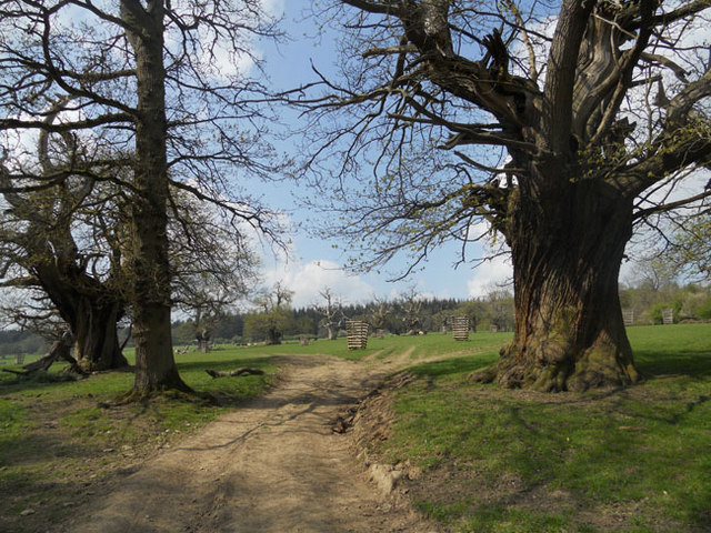
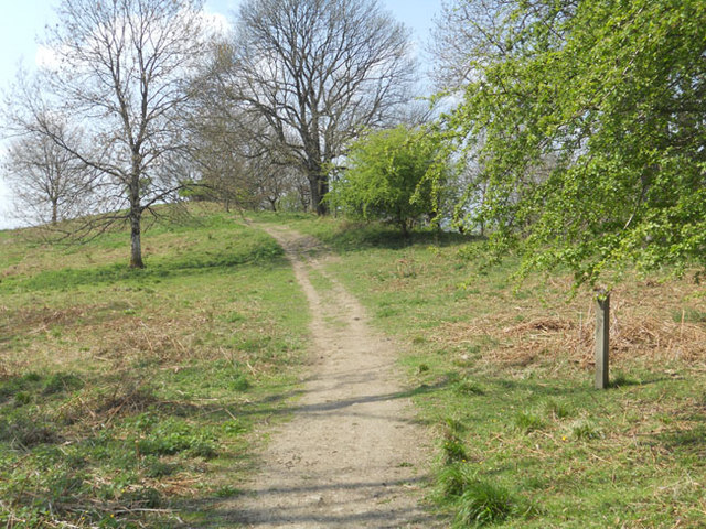
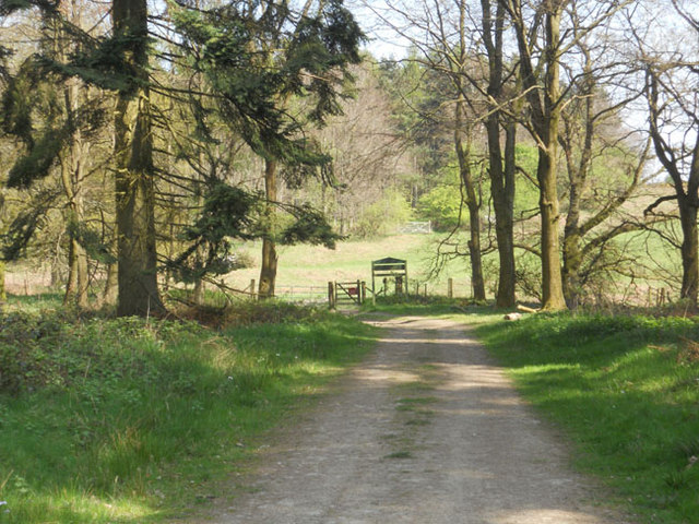
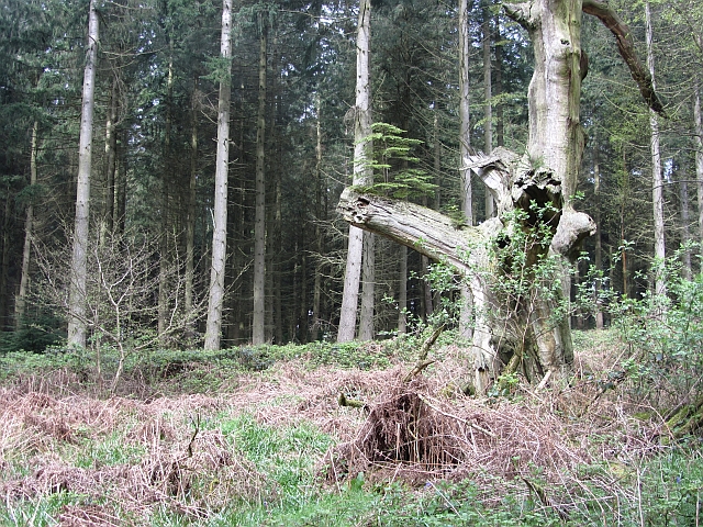
Bircher Common is a picturesque area located in Herefordshire, England. Situated on the downs and moorland, it is known for its stunning natural beauty and diverse wildlife. The common covers a vast expanse of approximately 100 hectares, offering visitors plenty of space to explore and enjoy the outdoors.

The landscape of Bircher Common is characterized by rolling hills, open grasslands, and scattered woodlands. The area is home to a variety of plant species, including heather, gorse, and bracken, which add to its vibrant and colorful atmosphere. The moorland provides a unique habitat for many bird species, making it a popular destination for birdwatchers.

The common is also home to several species of grazing animals, such as sheep and ponies, which contribute to the management of the land and help maintain its natural balance. Visitors can often spot these animals roaming freely, adding to the charm of the area.

Aside from its natural beauty, Bircher Common offers several walking trails and paths, allowing visitors to explore the area at their own pace. The common is easily accessible and provides stunning panoramic views of the surrounding countryside, making it an ideal spot for photography enthusiasts.

Overall, Bircher Common in Herefordshire offers a tranquil escape from the hustle and bustle of everyday life. With its beautiful landscapes, diverse wildlife, and peaceful atmosphere, it is a must-visit destination for nature lovers and those seeking a connection with the great outdoors.

If you have any feedback on the listing, please let us know in the comments section below.

Bircher Common Images

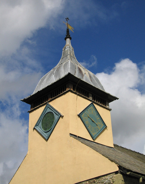
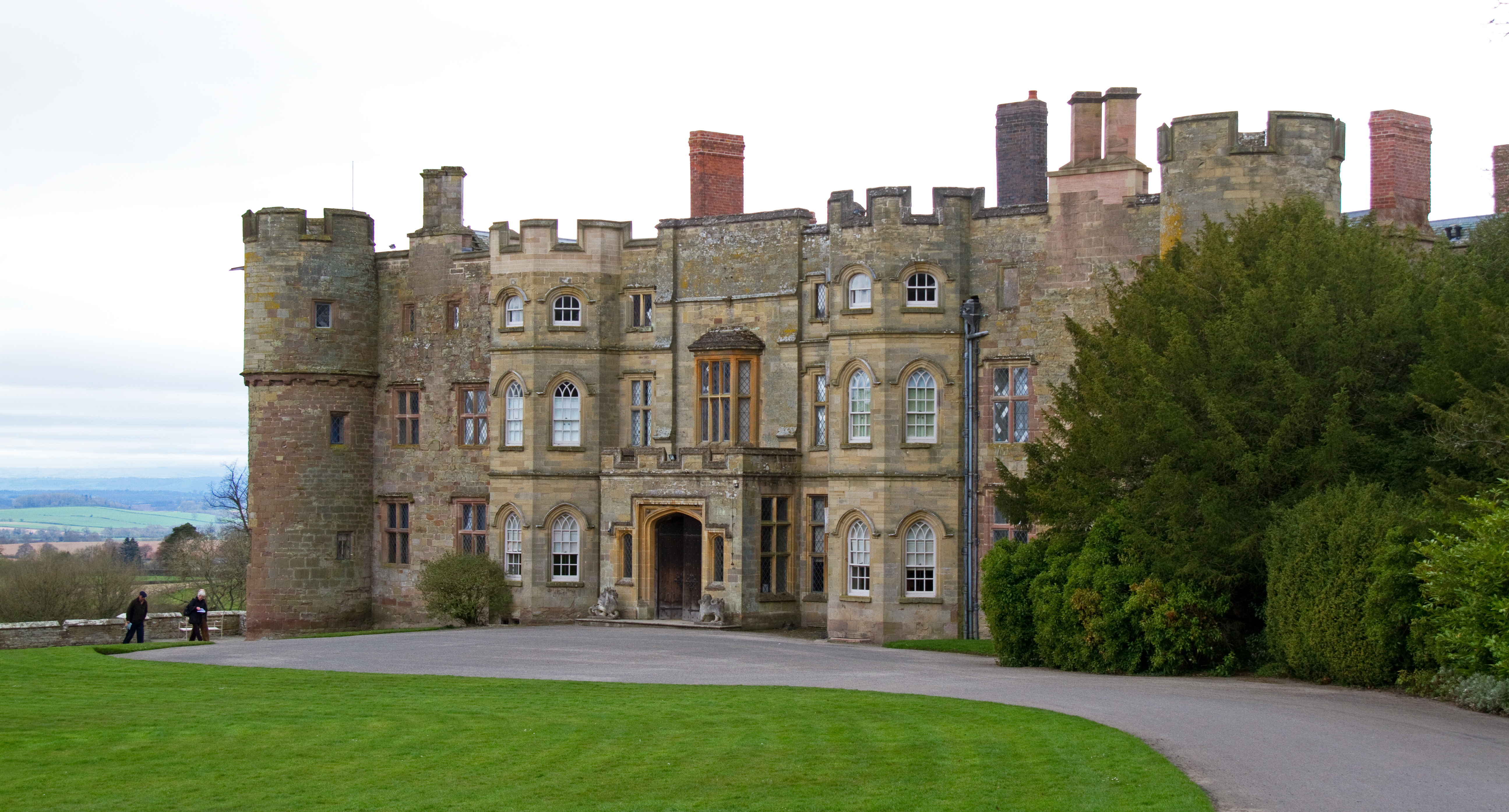
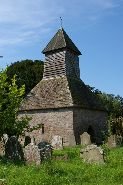
Images are sourced within 2km of 52.293567/-2.7890959 or Grid Reference SO4666. Thanks to Geograph Open Source API. All images are credited.

In the park at Croft Castle
Footpath across Croft Ambrey Fort
Croft Castle church
Croft Castle church
Derelict pump house in Fishpool Valley
Mortimer Trail at Bircher Common
St.Michael & All Angels church The round tower is part of Croft Castle.
St.Michael & All Angels church
The round tower is part of Croft Castle.
Inside St.Michael & All Angels church (2)
Inside St.Michael & All Angels church (1)
St.Michael & All Angels church tower
Croft Castle tower
Croft Castle tower
Home Farm, Croft A narrow escape! My grandfather was tenant here, and was invited back some years later. He or should I say my grandmother turned it down. Big farm with some good land, but a tourist attraction with the National Trust as a landlord!

The path to Croft Ambrey leads off right. NB unless a member, it will cost you (2012) £5.50 each to use this path to the woods. The ransom strip can be avoided by parking by the old school and walking in via Fishpools Valley.
Home Farm, Croft
A narrow escape! My grandfather was tenant here, and was invited back some years later. He or should I say my grandmother turned it down. Big farm with some good land, but a tourist attraction with the National Trust as a landlord! The path to Croft Ambrey leads off right. NB unless a member, it will cost you (2012) £5.50 each to use this path to the woods. The ransom strip can be avoided by parking by the old school and walking in via Fishpools Valley.
Black Hereford and calf, Croft You don't often see these cattle now, blackened by a cross with Friesians. They were very common in the 1960s and 1970s. This is parkland at the back of Croft Castle/Home Farm.
Black Hereford and calf, Croft
You don't often see these cattle now, blackened by a cross with Friesians. They were very common in the 1960s and 1970s. This is parkland at the back of Croft Castle/Home Farm.
Croft Wood This conifer plantation has survived long past its fell by date and is developing into a convincing pastiche of a North American forest. View from the path up to Croft Ambrey either from Fishpools Valley (free) or Croft Castle (hefty admission charge to the two fields not on the public footpath).
Croft Wood
This conifer plantation has survived long past its fell by date and is developing into a convincing pastiche of a North American forest. View from the path up to Croft Ambrey either from Fishpools Valley (free) or Croft Castle (hefty admission charge to the two fields not on the public footpath).
Lakeside in the woods
Tree in a Field
Tree in a Field
Old thatched house in Bircher This house always seems to have at least some remedial building work occurring to its aged thatch or fabric.
Old thatched house in Bircher
This house always seems to have at least some remedial building work occurring to its aged thatch or fabric.
Croft Castle from the walled garden.
Water butt - old Georgian stables, Croft Castle
Show me another place!

Bircher Common is located at Grid Ref: SO4666 (Lat: 52.293567, Lng: -2.7890959)

Unitary Authority: County of Herefordshire

Police Authority: West Mercia

What 3 Words

///possibly.looks.squirted. Near Orleton, Herefordshire

Related Wikis

Bircher Common

Bircher Common is an area of lowland heath in the civil parish of Croft and Yarpole in Herefordshire, England, and 6 miles (10 km) north from Leominster...

Croft and Yarpole

Croft and Yarpole is a civil parish in the county of Herefordshire, England, and is 17 miles (27 km) north from the city and county town of Hereford....

Yarpole

Yarpole is a village and former civil parish, now in the parish of Croft and Yarpole, Herefordshire, England, about 4.5 miles (7 km) north-west of Leominster...

Croft, Herefordshire

Croft is a village and former civil parish, now in the parish of Croft and Yarpole, in north Herefordshire, England. In 1961 the parish had a population...

Nearby Amenities

Located within 500m of 52.293567,-2.7890959
Building: yes
Lat/Long: 52.2905111/-2.7885909
Building: yes
Lat/Long: 52.2917448/-2.7896638
Building: yes
Lat/Long: 52.291443/-2.7892454
Building: yes
Lat/Long: 52.2910689/-2.7891917
Building: yes
Lat/Long: 52.2903208/-2.7883656
Building: yes
Lat/Long: 52.2901059/-2.7870661
Building: yes
Lat/Long: 52.2914233/-2.7870782
Building: yes
Lat/Long: 52.2910033/-2.7873893
Building: yes
Lat/Long: 52.2915152/-2.7876575
Building: yes
Lat/Long: 52.2906096/-2.7853616
Building: yes
Lat/Long: 52.2908917/-2.7839132
Building: yes
Lat/Long: 52.2907211/-2.7847178
Building: yes
Lat/Long: 52.2915545/-2.7859409
Building: yes
Lat/Long: 52.2920008/-2.7822931
Building: yes
Lat/Long: 52.2927685/-2.78313
Building: yes
Lat/Long: 52.2941597/-2.7841063
Building: yes
Lat/Long: 52.2949471/-2.7836128
Building: yes
Lat/Long: 52.2952948/-2.7832265
Generator Method: photovoltaic
Generator Output Electricity: yes
Generator Source: solar
Generator Type: solar_photovoltaic_panel
Location: roof
Power: generator
Lat/Long: 52.2907097/-2.7849859
Generator Method: photovoltaic
Generator Output Electricity: yes
Generator Source: solar
Generator Type: solar_photovoltaic_panel
Location: roof
Power: generator
Lat/Long: 52.2926538/-2.7831016
Bus Stop
Telephone Box
Bus: yes
Naptan AtcoCode: 2090A138500
Naptan Bearing: S
Naptan CommonName: Telephone Box
Naptan Indicator: adj
Naptan Landmark: Telephone Box
Naptan NaptanCode: heragawg
Naptan Street: N/K
Naptan Verified: no
Public Transport: platform
Source: naptan_import
Lat/Long: 52.2908122/-2.7851428
Parking
Access: permissive
Fee: no
Surface: grass
Lat/Long: 52.292188/-2.7842583
Baby: no
Blind: limited
Playground: swing
Wheelchair: no
Lat/Long: 52.2947167/-2.7917391
Welshman's Lane
Place: hamlet
Source: OS OpenMap Local
Lat/Long: 52.2910788/-2.7837682
Booth: K6
Covered: booth
Disused Amenity: telephone
Man Made: telephone_box
Lat/Long: 52.2907929/-2.7852507
Post Box
Post Box Type: wall
Lat/Long: 52.2907655/-2.7851461
Advertising: board
Lat/Long: 52.290811/-2.7852677
The data included in this document is from www.openstreetmap.org. The data is made available under ODbL.

Have you been to Bircher Common?

Leave your review of Bircher Common below (or comments, questions and feedback).