Coed Llifos

Downs, Moorland in Monmouthshire

Wales

Coed Llifos

Field-edge view from Newchurch Triangulation Pillar Looking northward.
Field-edge view from Newchurch Triangulation Pillar Credit: Peter Wood

Coed Llifos is a stunning natural area situated in the county of Monmouthshire, Wales. Known for its diverse landscapes, it encompasses both downs and moorland, making it a paradise for nature enthusiasts and hikers.

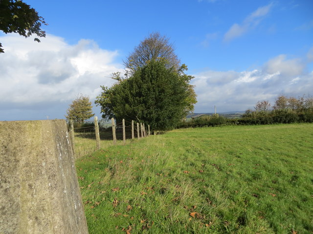
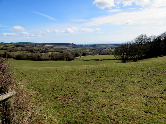
The downs in Coed Llifos are characterized by rolling hills and wide open spaces. These grassy slopes provide breathtaking panoramic views of the surrounding countryside, making it a popular spot for picnics and leisurely walks. The downs are home to a variety of plant and animal species, including wildflowers, butterflies, and birds, creating a vibrant and colorful ecosystem.

On the other hand, the moorland in Coed Llifos offers a completely different experience. Rugged and untamed, it is a haven for adventure seekers and those looking to immerse themselves in a more challenging terrain. The moorland is characterized by heather-covered hills and expansive open spaces, creating a sense of solitude and tranquility.

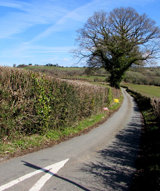
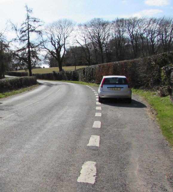
Coed Llifos is also known for its network of walking trails and footpaths, allowing visitors to explore the area at their own pace. These trails offer a unique opportunity to discover the diverse flora and fauna that call this area home, and to experience the beauty of nature up close.

Overall, Coed Llifos in Monmouthshire is a captivating destination for nature lovers. With its mix of downs and moorland, it offers a range of landscapes to explore, making it a must-visit for anyone seeking a peaceful escape or an exhilarating adventure in the heart of Wales.

If you have any feedback on the listing, please let us know in the comments section below.
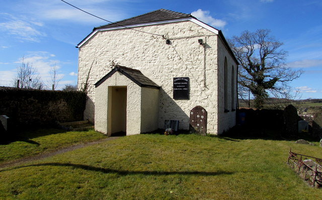
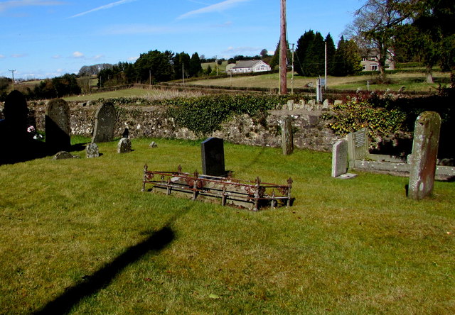
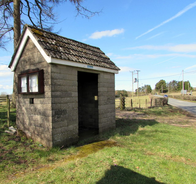
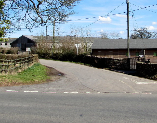
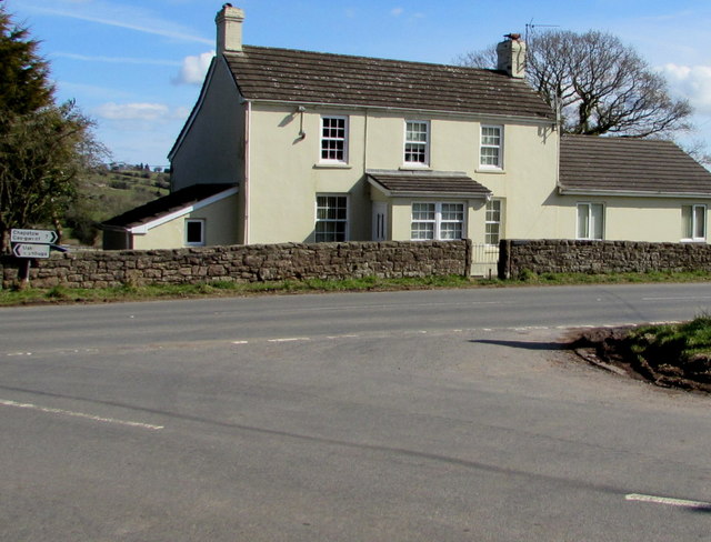
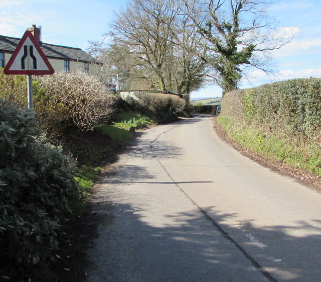
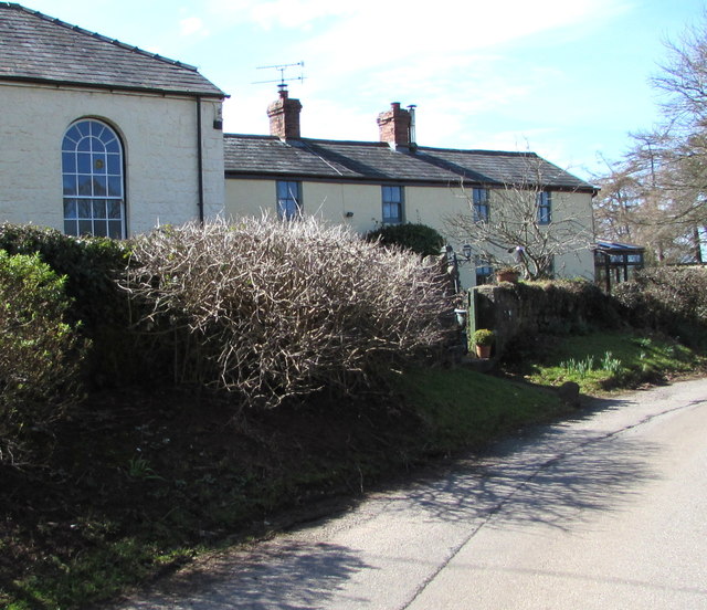
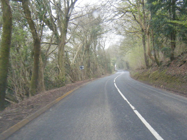
Coed Llifos Images

Images are sourced within 2km of 51.668722/-2.7827576 or Grid Reference ST4596. Thanks to Geograph Open Source API. All images are credited.

Field-edge view from Newchurch Triangulation Pillar Looking northward.
Field-edge view from Newchurch Triangulation Pillar
Looking northward.
Grade II listed early Victorian Gaerllwyd Baptist Chapel, Monmouthshire Cadw records that this very small rectangular chapel opened in 1842 as Mount Zion, a Welsh Calvinistic Methodist chapel. It was later transferred to the Presbyterians and finally to the Baptists. Grade II listed in 2001.
Grade II listed early Victorian Gaerllwyd Baptist Chapel, Monmouthshire
Cadw records that this very small rectangular chapel opened in 1842 as Mount Zion, a Welsh Calvinistic Methodist chapel. It was later transferred to the Presbyterians and finally to the Baptists. Grade II listed in 2001.
Small burial ground in Gaerllwyd, Monmouthshire On the north side of Gaerllwyd Baptist Chapel. <a title="https://www.geograph.org.uk/photo/5717735" href="https://www.geograph.org.uk/photo/5717735">Link</a>
Small burial ground in Gaerllwyd, Monmouthshire
On the north side of Gaerllwyd Baptist Chapel. Link
Four-way directions sign in Gaerllwyd, Monmouthshire Facing northbound traffic on the B4235 in rural Monmouthshire.
Four-way directions sign in Gaerllwyd, Monmouthshire
Facing northbound traffic on the B4235 in rural Monmouthshire.
Minor road towards Newchurch and Devauden, Monmouthshire Descending from the B4235 in Gaerllwyd.
Minor road towards Newchurch and Devauden, Monmouthshire
Descending from the B4235 in Gaerllwyd.
Rural Monmouthshire in late March 2018 Viewed from a field gate in Gaerllwyd on March 25th 2018.
Rural Monmouthshire in late March 2018
Viewed from a field gate in Gaerllwyd on March 25th 2018.
Queen Elizabeth II postbox and a Grade II listed phonebox in Gaerllwyd, Monmouthshire Alongside the boundary wall of Gaerllwyd Baptist Chapel <a title="https://www.geograph.org.uk/photo/5717735" href="https://www.geograph.org.uk/photo/5717735">Link</a> The K6 phonebox was Grade II listed in 2009.
Queen Elizabeth II postbox and a Grade II listed phonebox in Gaerllwyd, Monmouthshire
Alongside the boundary wall of Gaerllwyd Baptist Chapel Link The K6 phonebox was Grade II listed in 2009.
Layby in Gaerllwyd, Monmouthshire On the east side of Gaerllwyd Baptist Chapel. <a title="https://www.geograph.org.uk/photo/5717735" href="https://www.geograph.org.uk/photo/5717735">Link</a>
Layby in Gaerllwyd, Monmouthshire
On the east side of Gaerllwyd Baptist Chapel. Link
Bilingual direction sign in Gaerllwyd, Monmouthshire Earlswood is Coed-yr-iarll in Welsh.
Bilingual direction sign in Gaerllwyd, Monmouthshire
Earlswood is Coed-yr-iarll in Welsh.
Two sizes of Give Way sign in Gaerllwyd, Monmouthshire The sign on the left is about half the size of the one near the bus shelter.
Two sizes of Give Way sign in Gaerllwyd, Monmouthshire
The sign on the left is about half the size of the one near the bus shelter.
Stone bus shelter in Gaerllwyd, Monmouthshire Alongside the B4235, the road from Chepstow to Usk.
Stone bus shelter in Gaerllwyd, Monmouthshire
Alongside the B4235, the road from Chepstow to Usk.
Gaerllwyd Farm, Gaerllwyd, Monmouthshire Viewed from the B4235, the road from Chepstow to Usk.
Gaerllwyd Farm, Gaerllwyd, Monmouthshire
Viewed from the B4235, the road from Chepstow to Usk.
B4235 from Gaerllwyd towards Usk The B4235 passes through Gaerllwyd, a small village in Monmouthshire
about 10 km from Usk to the NE and 11 km from Chepstow to the SW.
B4235 from Gaerllwyd towards Usk
The B4235 passes through Gaerllwyd, a small village in Monmouthshire about 10 km from Usk to the NE and 11 km from Chepstow to the SW.
White house in Gaerllwyd, Monmouthshire Alongside the B4235, the road from Usk to Chepstow.
White house in Gaerllwyd, Monmouthshire
Alongside the B4235, the road from Usk to Chepstow.
West along the minor road from Gaerllwyd to Earlswood, Monmouthshire The sign warns of a narrower road ahead.
West along the minor road from Gaerllwyd to Earlswood, Monmouthshire
The sign warns of a narrower road ahead.
Cottage attached to Gaerllwyd Baptist Chapel Built as the manse cottage for the chapel <a title="https://www.geograph.org.uk/photo/5717735" href="https://www.geograph.org.uk/photo/5717735">Link</a> on left, the cottage has been altered and modernised.
Cottage attached to Gaerllwyd Baptist Chapel
Built as the manse cottage for the chapel Link on left, the cottage has been altered and modernised.
B4235 west of Bullyhole Bottom
B4235 south of Gove Wood
Show me another place!

Coed Llifos is located at Grid Ref: ST4596 (Lat: 51.668722, Lng: -2.7827576)

Unitary Authority: Monmouthshire

Police Authority: Gwent

What 3 Words

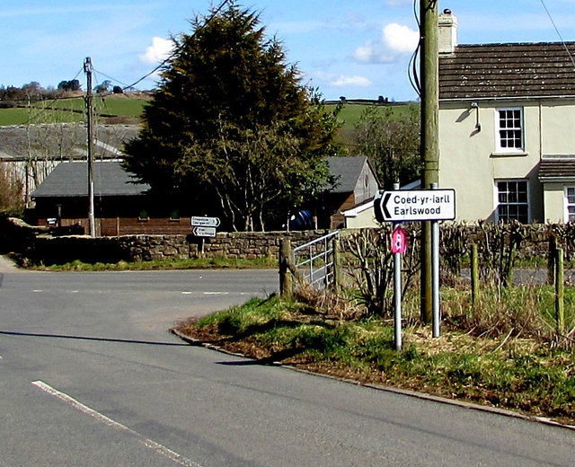
///dynasties.dream.works. Near Llangwm, Monmouthshire

Nearby Locations

Coed Llifos

Related Wikis

Newchurch, Monmouthshire

Newchurch (Welsh: Yr Eglwys Newydd ar y Cefn, meaning "new church on the ridge") is an extensive rural parish and small hamlet in Monmouthshire, south...

Gaerllwyd

Gaerllwyd is a village in Monmouthshire, south east Wales, United Kingdom. == Location == Gaerllwyd is located 6 miles (9.7 km) south east of Usk and 7...

Church of the Holy Cross, Kilgwrrwg

The Church of the Holy Cross, Kilgwrrwg, Monmouthshire, Wales, is an early medieval parish church that once supported a now abandoned village. A Grade...

Kilgwrrwg

Kilgwrrwg (Welsh: Cilgwrrwg) is a rural parish in Monmouthshire, south east Wales, United Kingdom. It is located 7 miles (11 km) north west of Chepstow...

Nearby Amenities

Located within 500m of 51.668722,-2.7827576
Direction: 175
Generator Method: photovoltaic
Generator Output Electricity: yes
Generator Solar Modules: 16
Generator Source: solar
Generator Type: solar_photovoltaic_panel
Location: roof
Power: generator
Lat/Long: 51.6660276/-2.7769755
Direction: 215
Generator Method: photovoltaic
Generator Output Electricity: yes
Generator Solar Modules: 16
Generator Source: solar
Generator Type: solar_photovoltaic_panel
Location: roof
Power: generator
Lat/Long: 51.6674583/-2.7803215
The data included in this document is from www.openstreetmap.org. The data is made available under ODbL.

Have you been to Coed Llifos?

Leave your review of Coed Llifos below (or comments, questions and feedback).