Catbutts Wood

Downs, Moorland in Cumberland Eden

England

Catbutts Wood

Fort Putnam, Greystoke, nr Penrith, Cumbria One of the Farm Follies of Greystoke
<span class="nowrap"><a title="www.visitcumbria.com/pen/greystoke-follies.htm" rel="nofollow ugc noopener" href="http://www.visitcumbria.com/pen/greystoke-follies.htm">Link</a><img style="margin-left:2px;" alt="External link" title="External link - shift click to open in new window" src="https://s1.geograph.org.uk/img/external.png" width="10" height="10"/></span>
Fort Putnam, Greystoke, nr Penrith, Cumbria Credit: Simon Ledingham

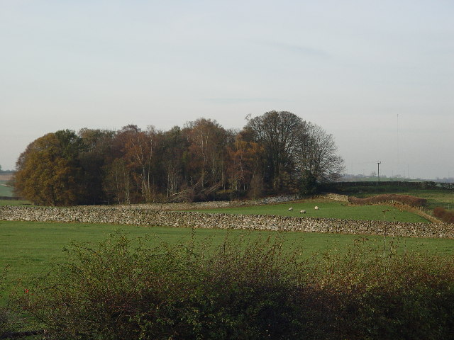
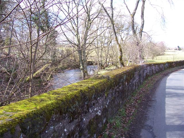
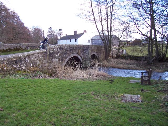
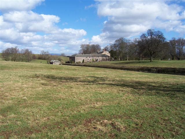
Catbutts Wood is a picturesque woodland located in Cumberland, a county in North West England. Nestled amidst the stunning landscape of the Downs and Moorland, this woodland is a haven for nature enthusiasts and hikers alike. Covering an area of approximately 100 acres, Catbutts Wood is characterized by its dense and diverse vegetation, making it a thriving ecosystem.

The wood is named after the peculiar shape of a nearby hill, which resembles a cat's posterior. The area is known for its tranquil atmosphere, with the soothing sounds of birdsong and rustling leaves providing a peaceful ambiance. Tall, majestic oak trees dominate the landscape, their branches creating a dense canopy that filters the sunlight, casting dappled shadows on the forest floor.

Walking through Catbutts Wood, visitors can enjoy a range of natural wonders. The forest floor is adorned with a rich carpet of wildflowers, including bluebells, primroses, and wood anemones, painting the woodland with vibrant hues during the spring months. In autumn, the woodland transforms into a symphony of warm colors as the leaves change, creating a breathtaking spectacle.

The wood is also home to a variety of wildlife, including deer, foxes, and squirrels, which can often be spotted darting through the undergrowth. Birdwatchers will delight in the diverse avian species that inhabit the area, such as woodpeckers, owls, and songbirds.

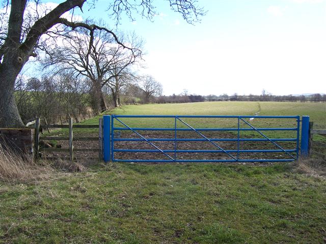
Catbutts Wood offers several walking trails, allowing visitors to explore its beauty at their leisure. The well-maintained paths wind through the woodland, providing an immersive experience and showcasing the natural wonders of this enchanting place.

If you have any feedback on the listing, please let us know in the comments section below.

Catbutts Wood Images

Images are sourced within 2km of 54.678088/-2.8469333 or Grid Reference NY4531. Thanks to Geograph Open Source API. All images are credited.

Fort Putnam, Greystoke, nr Penrith, Cumbria One of the Farm Follies of Greystoke
<span class="nowrap"><a title="www.visitcumbria.com/pen/greystoke-follies.htm" rel="nofollow ugc noopener" href="http://www.visitcumbria.com/pen/greystoke-follies.htm">Link</a><img style="margin-left:2px;" alt="External link" title="External link - shift click to open in new window" src="https://s1.geograph.org.uk/img/external.png" width="10" height="10"/></span>
Fort Putnam, Greystoke, nr Penrith, Cumbria
One of the Farm Follies of Greystoke LinkExternal link
Tranquil outskirts of Greystoke
Blencow Hall nr Penrith
Greystoke Church
Greystoke Church
Storch Bridge, Greystoke
Fort Putnam, Greystoke
Spire House, near Greystoke
Farmland near Greystoke
Clickham Inn, Clickem near Penrith
Limestone outcrop near Johnby. Fertile land in this the eden valley but every now and then the rock pops up out of the ground but the trees don't seem to mind at all.
Limestone outcrop near Johnby.
Fertile land in this the eden valley but every now and then the rock pops up out of the ground but the trees don't seem to mind at all.
Beck Bridge at Townend. laithes showing in the distance and road junction off to the right just past the cyclist.
Beck Bridge at Townend.
laithes showing in the distance and road junction off to the right just past the cyclist.
Beck and Bridge at Townend. The building you can see through the trees is on the footpath.
Beck and Bridge at Townend.
The building you can see through the trees is on the footpath.
River bridge at Great Blencow. A misleading picture as it was a really nice sunny day just right for the motor cyclist.
River bridge at Great Blencow.
A misleading picture as it was a really nice sunny day just right for the motor cyclist.
Blencow Methodist Church A church right on the roadside at the road junction tends to indicate an old site. The church has 1877 on it.
Blencow Methodist Church
A church right on the roadside at the road junction tends to indicate an old site. The church has 1877 on it.
The Laithes cross roads entrance. The Laithes lies through the second pair of white posts and uses another entrance, presumably on the grounds of safety.
The Laithes cross roads entrance.
The Laithes lies through the second pair of white posts and uses another entrance, presumably on the grounds of safety.
The Laithes.
The Laithes.
Blue gate and beck. The colour will be significant to the estate denoting all the fields that are theirs and the small beck is on the left with a lot of growth forming a hedge.
Blue gate and beck.
The colour will be significant to the estate denoting all the fields that are theirs and the small beck is on the left with a lot of growth forming a hedge.
Old farm track This track leads off the Little Blencow - Lamonby road towards Auldby.
Old farm track
This track leads off the Little Blencow - Lamonby road towards Auldby.
Show me another place!

Catbutts Wood is located at Grid Ref: NY4531 (Lat: 54.678088, Lng: -2.8469333)

Administrative County: Cumbria

District: Eden

Police Authority: Cumbria

What 3 Words

///twilight.tarnished.choirs. Near Penrith, Cumbria

Nearby Locations

Catbutts Wood

Related Wikis

Blencow

Blencow or Blencowe is a small village near Penrith, Cumbria, England. It is divided by the River Petteril into Great Blencow to the south and Little Blencow...

Laithes

Laithes is a hamlet in the civil parish of Skelton, in the English county of Cumbria. It belongs to Eden District. Laithes's region is North West. Height...

Blencow railway station

Blencow railway station was situated on the Cockermouth, Keswick and Penrith Railway between Penrith and Cockermouth in Cumberland (now in Cumbria), England...
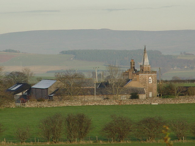
Greystoke, Cumbria

Greystoke is a village and civil parish on the edge of the Lake District National Park in Cumbria, England, about 4 miles (6.4 km) west of Penrith. At...

Catterlen

Catterlen is a small village and civil parish 3 miles (4.8 km) north west of Penrith, Cumbria. At the 2001 census the civil parish had a population of...
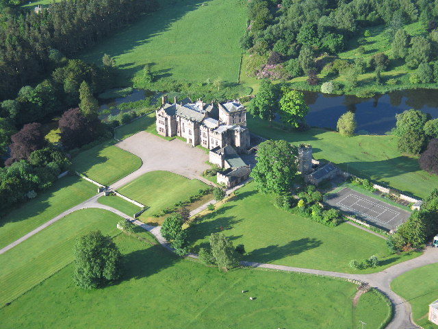
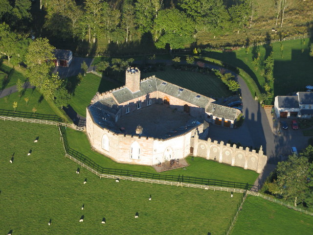
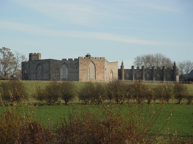
Greystoke Castle

Greystoke Castle is in the village of Greystoke 8 kilometres (5.0 mi) west of Penrith in the county of Cumbria in northern England. (grid reference NY435309...
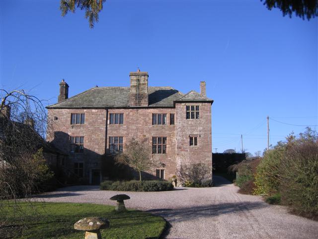
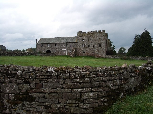
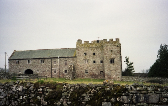
Johnby Hall

Johnby Hall is a fortified manor house near Greystoke, Cumbria. It was built in 1583, incorporating the fabric of a medieval tower house, and has been...

Johnby

Johnby is a hamlet in the Eden District, in the English county of Cumbria. It is about 6 miles (9.7 km) from the large town of Penrith and about 1 mile...

Nearby Amenities

Located within 500m of 54.678088,-2.8469333
Ennim
Place: locality
Lat/Long: 54.6793492/-2.8408318
Hardhill Wood
Place: locality
Lat/Long: 54.6752663/-2.851062
Catbutts Wood
Place: locality
Lat/Long: 54.6777414/-2.848573
Bullace Wood
Place: locality
Lat/Long: 54.6789696/-2.8450217
Power: pole
Lat/Long: 54.6748065/-2.8423718
Power: pole
Lat/Long: 54.6749507/-2.8443271
Power: pole
Lat/Long: 54.6750624/-2.8459042
Power: pole
Lat/Long: 54.6748499/-2.8473593
Power: pole
Lat/Long: 54.6746405/-2.8488037
Power: pole
Lat/Long: 54.6743994/-2.8503969
Power: pole
Lat/Long: 54.681024/-2.8418116
Power: pole
Lat/Long: 54.6804657/-2.8409235
The data included in this document is from www.openstreetmap.org. The data is made available under ODbL.

Have you been to Catbutts Wood?

Leave your review of Catbutts Wood below (or comments, questions and feedback).