Hugill Fell
Downs, Moorland in Westmorland South Lakeland
England
Hugill Fell

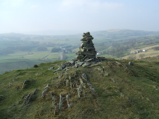
Hugill Fell is a prominent and scenic area located in Westmorland, a historic county in the northwestern region of England. Situated amidst the stunning landscape of the Lake District National Park, Hugill Fell offers breathtaking views of its surroundings, including expansive downs and moorland.
Covering an area of approximately 10 square miles, Hugill Fell is characterized by its rolling hills, rugged terrain, and wide-open spaces. The fells' elevation ranges from around 500 to 1,000 feet, providing visitors with panoramic vistas of the picturesque countryside. The area is home to a diverse range of flora and fauna, including heather, grasses, and a variety of bird species, making it a haven for nature enthusiasts and birdwatchers.
Hugill Fell is interspersed with numerous footpaths and hiking trails, allowing visitors to explore its beauty at their own pace. These paths offer opportunities for leisurely walks, challenging hikes, and even mountain biking. The terrain can be undulating and steep in some areas, providing a thrilling adventure for outdoor enthusiasts.
In addition to its natural beauty, Hugill Fell also holds historical significance. The remains of ancient settlements, stone circles, and burial mounds can be found scattered across the fells, serving as reminders of the area's rich past.
Overall, Hugill Fell in Westmorland offers a captivating blend of natural wonders and historical treasures, making it a must-visit destination for those seeking solace in the great outdoors or a glimpse into the region's intriguing history.
If you have any feedback on the listing, please let us know in the comments section below.
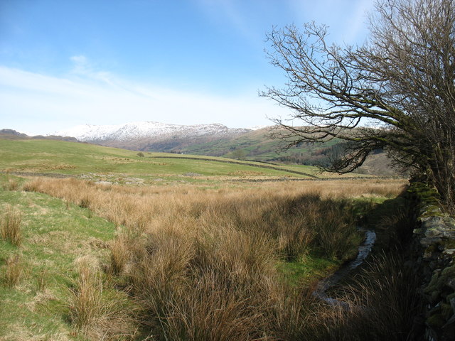
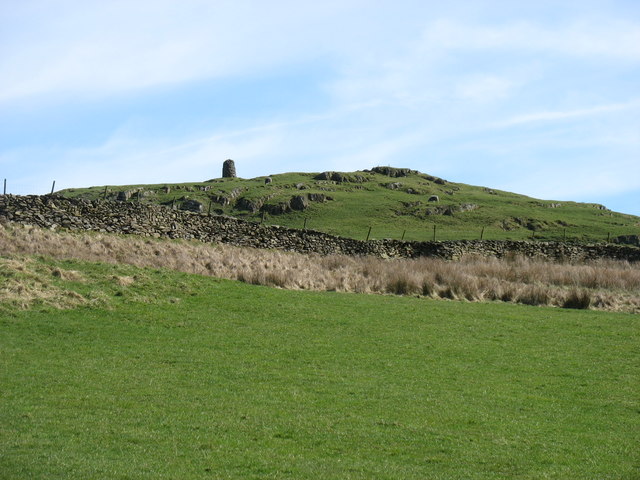
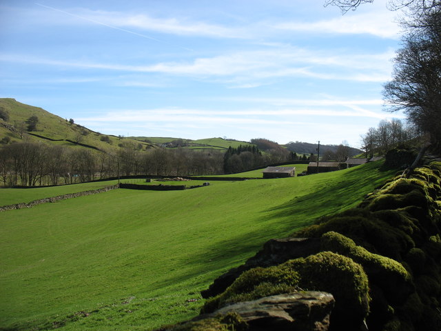
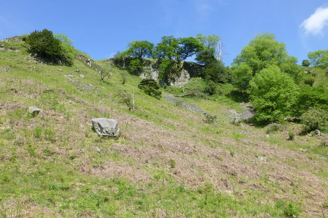
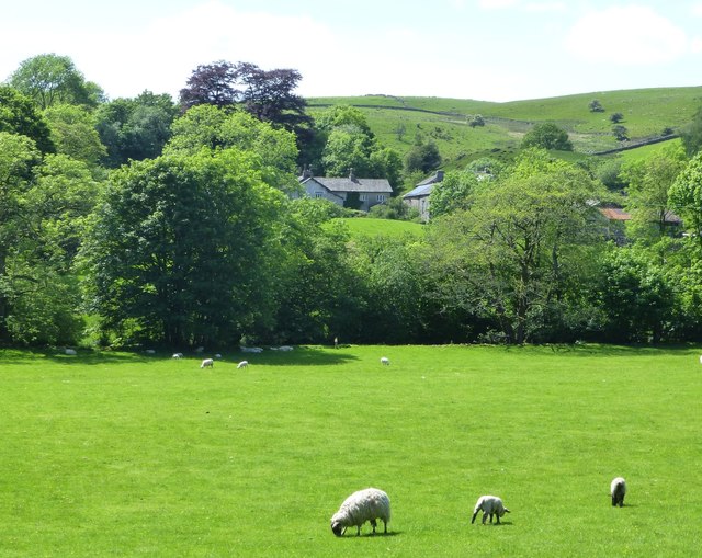
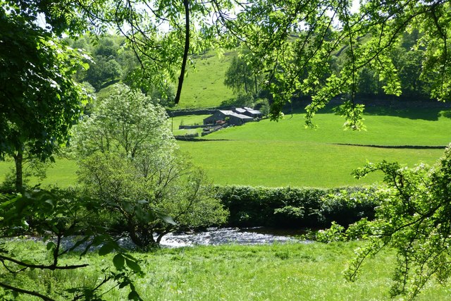
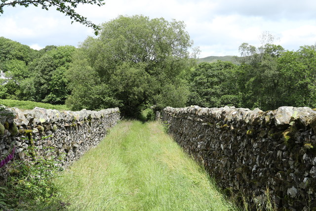
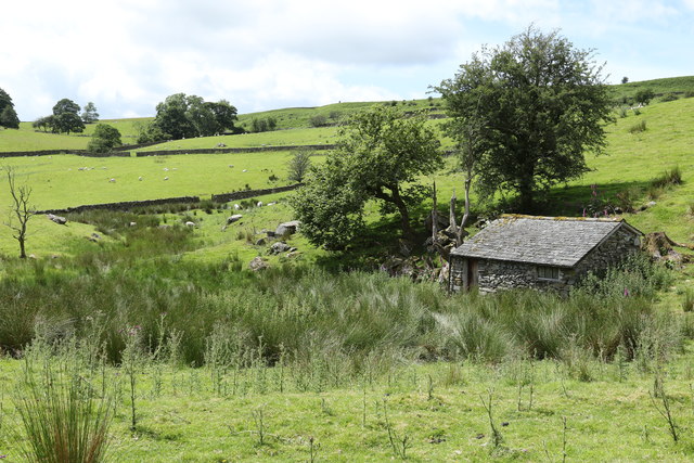
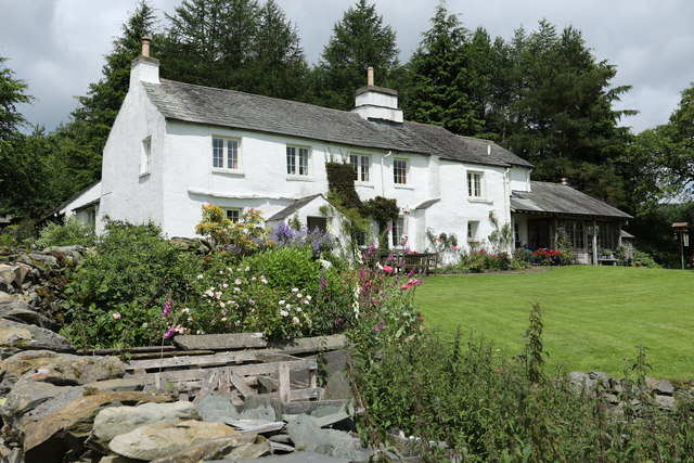
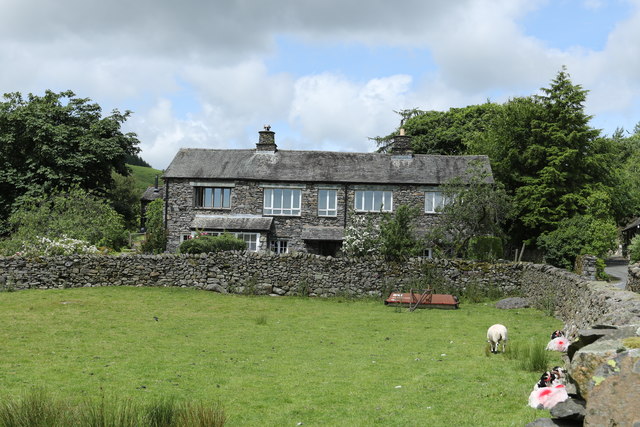
Hugill Fell Images
Images are sourced within 2km of 54.389908/-2.841448 or Grid Reference SD4599. Thanks to Geograph Open Source API. All images are credited.


Hugill Fell is located at Grid Ref: SD4599 (Lat: 54.389908, Lng: -2.841448)
Administrative County: Cumbria
District: South Lakeland
Police Authority: Cumbria
What 3 Words
///drift.highly.starred. Near Staveley, Cumbria
Nearby Locations
Related Wikis
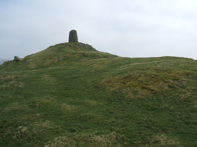
High Knott
High Knott, marked on some Ordnance Survey maps as Williamson's Monument, is a hill in the eastern part of the English Lake District, near Staveley, Cumbria...
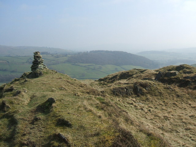
Hugill Fell
Hugill Fell is a hill in the English Lake District, near Staveley, Cumbria, on the western side of the Kentmere valley. The Database of British and Irish...
Reston Scar
Reston Scar is a fell in the Lake District of Cumbria, England. With a height of 837 feet (255 m), it overlooks the north side of Staveley village, and...

Hugill
Hugill is a civil parish in Cumbria, England. Hugill includes the village of Ings and the hamlets of Grassgarth, and Reston plus a large part of the village...
Nearby Amenities
Located within 500m of 54.389908,-2.841448Have you been to Hugill Fell?
Leave your review of Hugill Fell below (or comments, questions and feedback).