Warwick Moor

Downs, Moorland in Cumberland Carlisle

England

Warwick Moor

All Saints Church, Scotby
All Saints Church, Scotby Credit: Alexander P Kapp

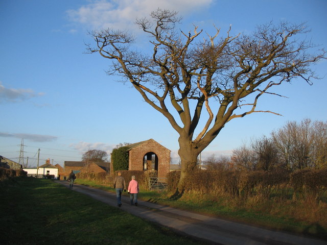
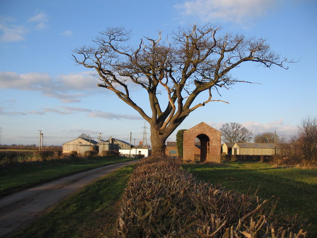
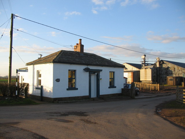
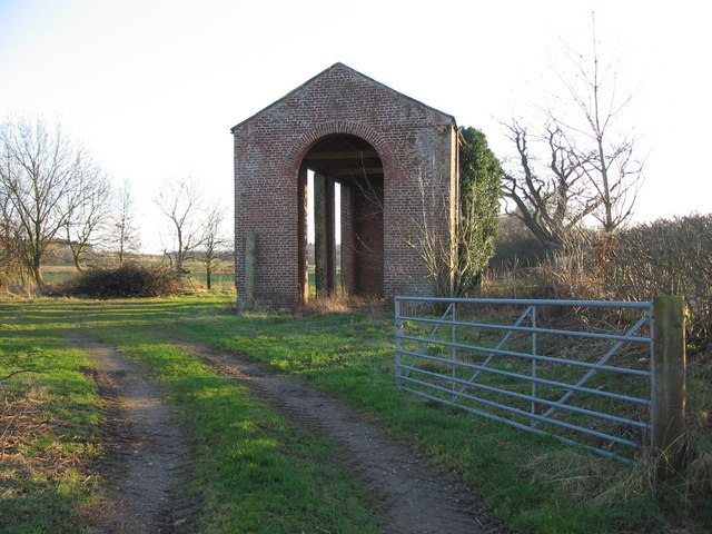
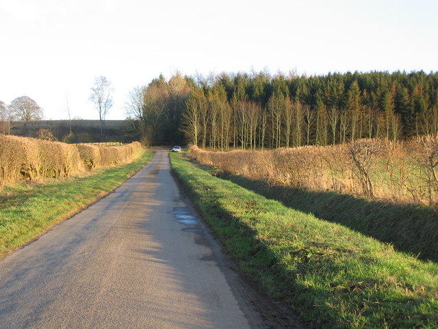
Warwick Moor, located in Cumberland, England, is a picturesque expanse of downs and moorland that spans over an area of approximately 10 square kilometers. Situated within the North Pennines Area of Outstanding Natural Beauty, this stunning landscape offers a diverse range of natural and geological features.

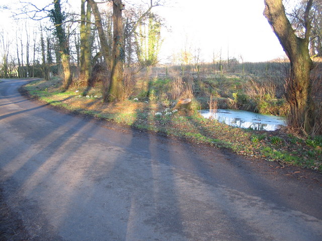
The moorland encompasses rolling hills, with elevations ranging from 300 to 500 meters above sea level. The terrain is characterized by heather-covered peatlands, scattered with patches of grasses and shrubs. Warwick Moor is intersected by several small streams, adding to its charm and providing a habitat for various species of wildlife.

The area is renowned for its rich biodiversity, supporting a wide array of flora and fauna. Visitors to Warwick Moor can expect to encounter various bird species, such as curlews, lapwings, and golden plovers, which nest in the moorland during the breeding season. Additionally, the moor is home to small mammals, including rabbits and hares, as well as reptiles like adders and lizards.

For hiking enthusiasts, Warwick Moor offers a network of trails that wind through its undulating landscape, providing breathtaking views of the surrounding countryside. The moorland also serves as a popular destination for nature lovers and photographers eager to capture the beauty of its open vistas and dramatic skies.

Warwick Moor is a haven for those seeking tranquility and a connection with nature. Its unspoiled beauty and diverse ecosystem make it a must-visit location for anyone exploring the Cumberland region.

If you have any feedback on the listing, please let us know in the comments section below.
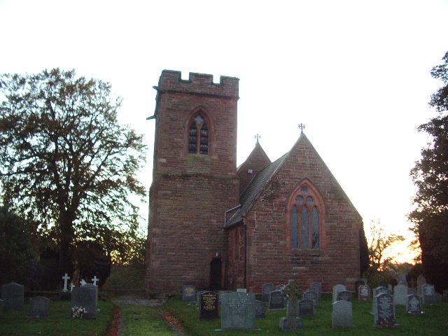
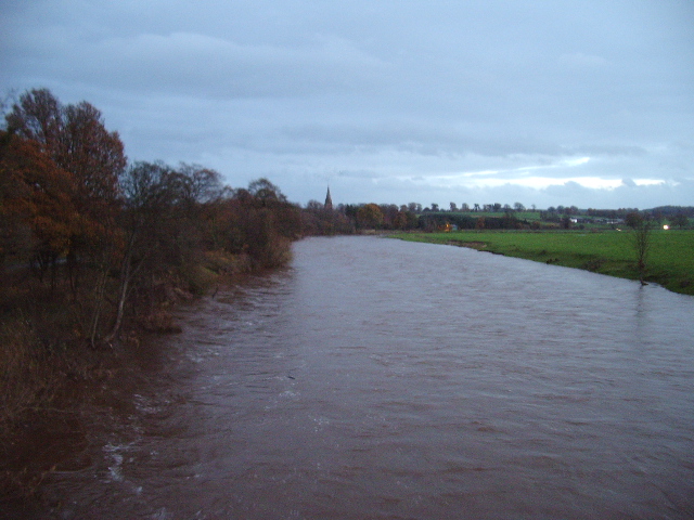
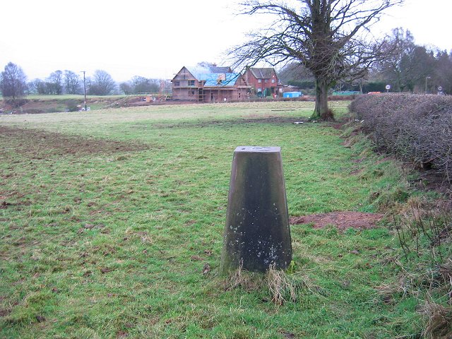
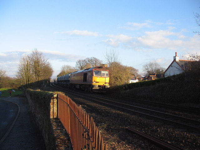
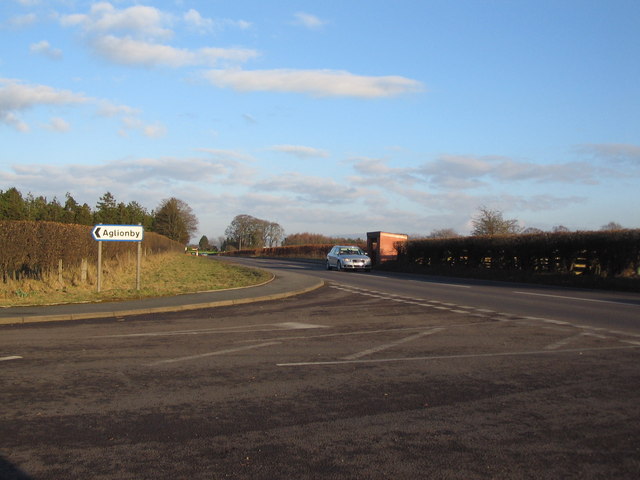
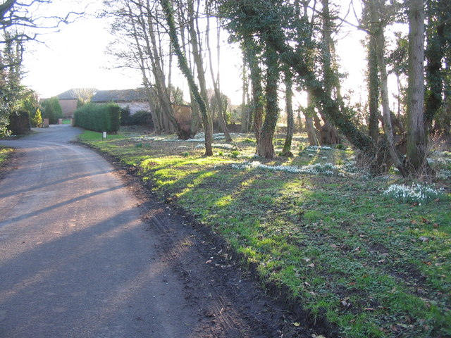
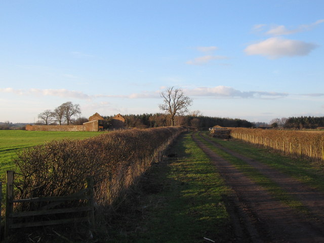
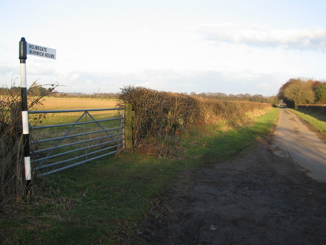
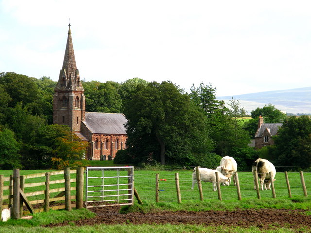
Warwick Moor Images

Images are sourced within 2km of 54.899943/-2.8536584 or Grid Reference NY4556. Thanks to Geograph Open Source API. All images are credited.

All Saints Church, Scotby
Warwick Bridge Carries the A69 Carlisle to Newcastle road over the River Eden, between Warwick Bridge and Warwick-on-Eden
Warwick Bridge
Carries the A69 Carlisle to Newcastle road over the River Eden, between Warwick Bridge and Warwick-on-Eden
Warwick Bridge Up-stream side of Warwick Bridge
Warwick Bridge
Up-stream side of Warwick Bridge
River Eden Looking down stream from Warwick Bridge, in the distance is Warwick Hall
River Eden
Looking down stream from Warwick Bridge, in the distance is Warwick Hall
River Eden Looking up stream from Warwick Bridge, the church in the distance is St Paul Church, Holme Eden
River Eden
Looking up stream from Warwick Bridge, the church in the distance is St Paul Church, Holme Eden
The Road to Myre Bank
Triangulation pillar, Weatheral Beside a road coming in from the north.
Triangulation pillar, Weatheral
Beside a road coming in from the north.
Railway at Scotby A view looking to the east along the railway track at Scotby as a freight train passes on its way to Carlisle.
Railway at Scotby
A view looking to the east along the railway track at Scotby as a freight train passes on its way to Carlisle.
Turning for Aglionby A view looking to the east along the A69 at the junction with the lane to Aglionby.
Turning for Aglionby
A view looking to the east along the A69 at the junction with the lane to Aglionby.
Snowdrops at  Aglionby A view looking to the southwest along the lane through Aglionby, towards a clump of snowdrops illuminated by the late afternoon sun.
Snowdrops at Aglionby
A view looking to the southwest along the lane through Aglionby, towards a clump of snowdrops illuminated by the late afternoon sun.
Pond at Aglionby A view looking to the northeast across the lane through Aglionby towards a small pond.
Pond at Aglionby
A view looking to the northeast across the lane through Aglionby towards a small pond.
Track to Strickland A view looking to the northwest along the track to Strickland, the derelict building on the left.
Track to Strickland
A view looking to the northwest along the track to Strickland, the derelict building on the left.
Lane to Holmegate A view looking to the northeast along the lane to Holmegate.
Lane to Holmegate
A view looking to the northeast along the lane to Holmegate.
Approaching Holme Gate A view looking north along the lane from Aglionby, approaching Holme Gate.
Approaching Holme Gate
A view looking north along the lane from Aglionby, approaching Holme Gate.
Barn at Holme Gate A view looking to the north towards a barn at Holme Gate.
Barn at Holme Gate
A view looking to the north towards a barn at Holme Gate.
Holme Gate Cottage A view looking to the northwest towards Holme Gate Cottage.
Holme Gate Cottage
A view looking to the northwest towards Holme Gate Cottage.
Tall barn at Holme Gate A view looking to the south towards a tall barn at Holme Gate.
Tall barn at Holme Gate
A view looking to the south towards a tall barn at Holme Gate.
Lane to Warwick-on-Eden A view looking to the southeast along the lane from Holme Gate to Warwick-on-Eden, towards a small plantation.
Lane to Warwick-on-Eden
A view looking to the southeast along the lane from Holme Gate to Warwick-on-Eden, towards a small plantation.
Show me another place!

Warwick Moor is located at Grid Ref: NY4556 (Lat: 54.899943, Lng: -2.8536584)

Administrative County: Cumbria

District: Carlisle

Police Authority: Cumbria

What 3 Words

///basics.pages.domain. Near Scotby, Cumbria

Related Wikis

Warwick-on-Eden

Warwick-on-Eden is a small village and (as just Warwick) a former civil parish, now in the parish of Wetheral, in Cumbria, England. In 1931 the parish...

Warwick Hall

Warwick Hall is a large country house located on the banks of the River Eden at Warwick-on-Eden in Cumbria, England, United Kingdom. == History == The...

Aglionby, Cumbria

Aglionby is a village in Cumbria, England. Aglionby lies within the civil parish of Wetheral and thus forms part of the district administered as the City...

Scotby

Scotby is a village in the Cumberland unitary authority area of Cumbria, England. It is separated from Carlisle by the M6 motorway, and it is close to...

Nearby Amenities

Located within 500m of 54.899943,-2.8536584
Warwick Moor
Place: hamlet
Source: OS 1st series
Lat/Long: 54.9038092/-2.8569643
The data included in this document is from www.openstreetmap.org. The data is made available under ODbL.

Have you been to Warwick Moor?

Leave your review of Warwick Moor below (or comments, questions and feedback).