Martindale Common
Downs, Moorland in Westmorland Eden
England
Martindale Common
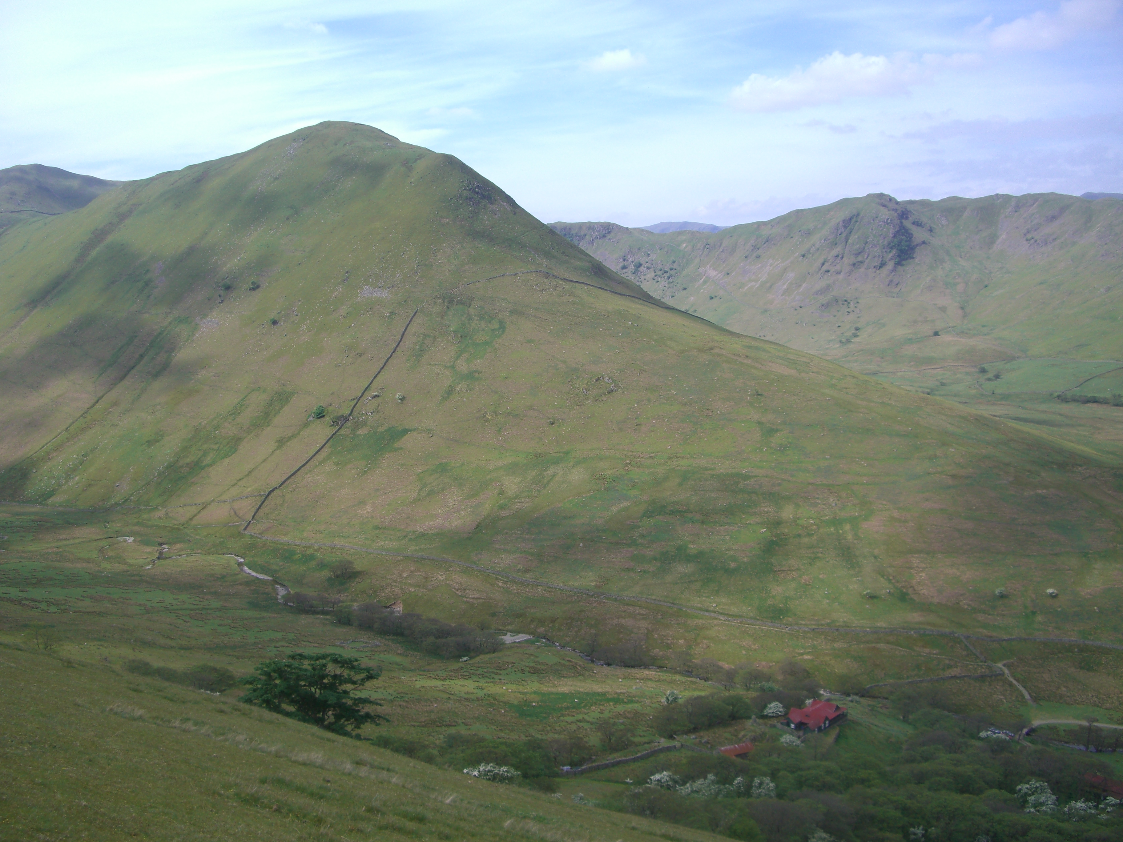
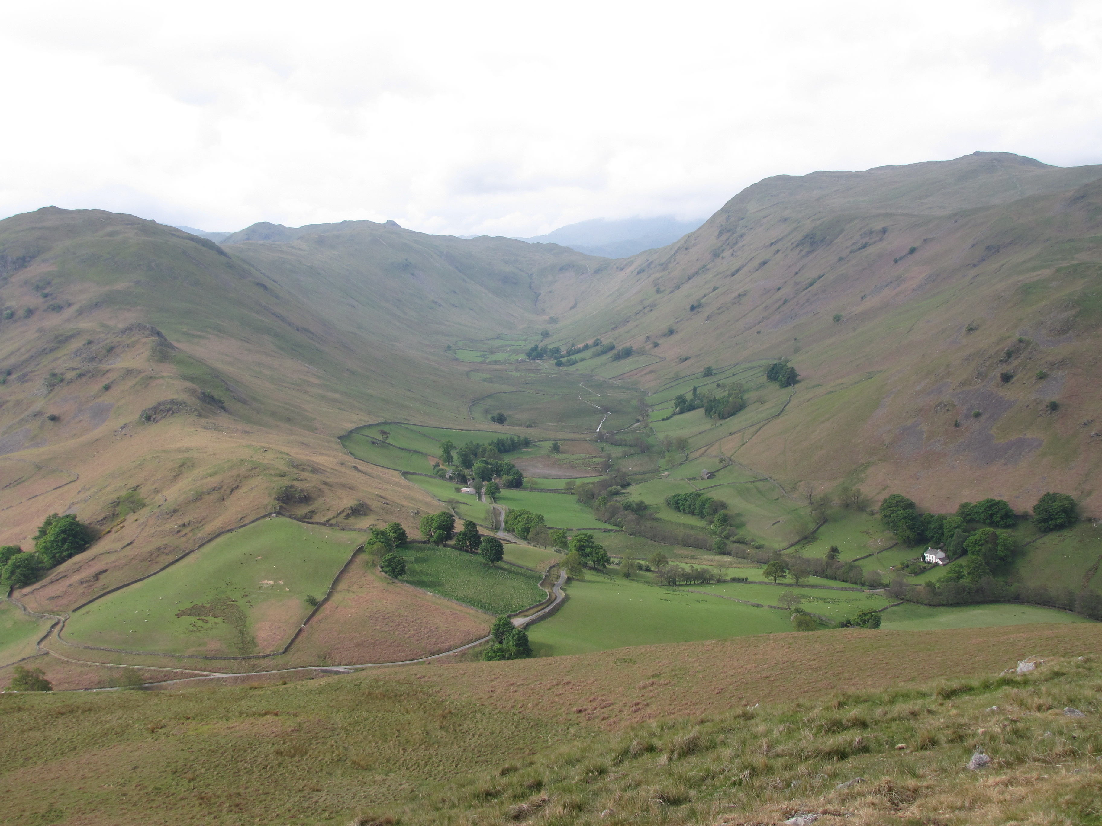
Martindale Common is a vast and picturesque area located in Westmorland, a historic county in the northwest region of England. Situated amidst the awe-inspiring landscape of the Lake District National Park, Martindale Common is renowned for its breathtaking combination of downs and moorland.
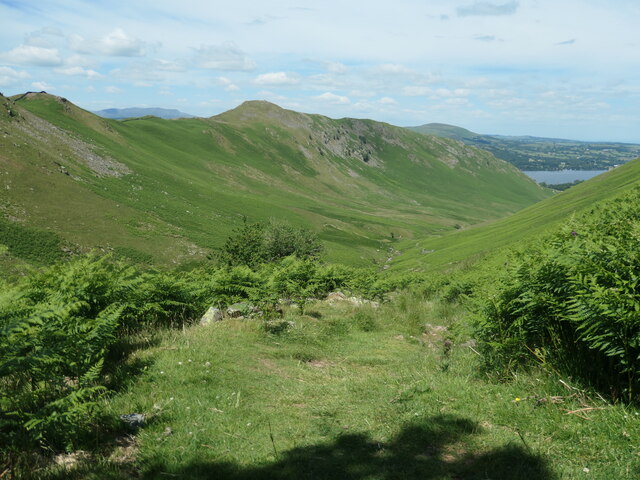
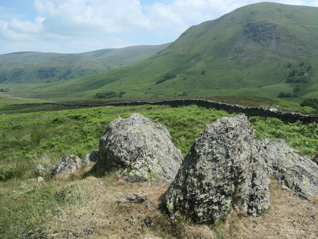
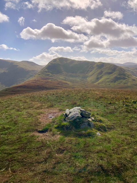
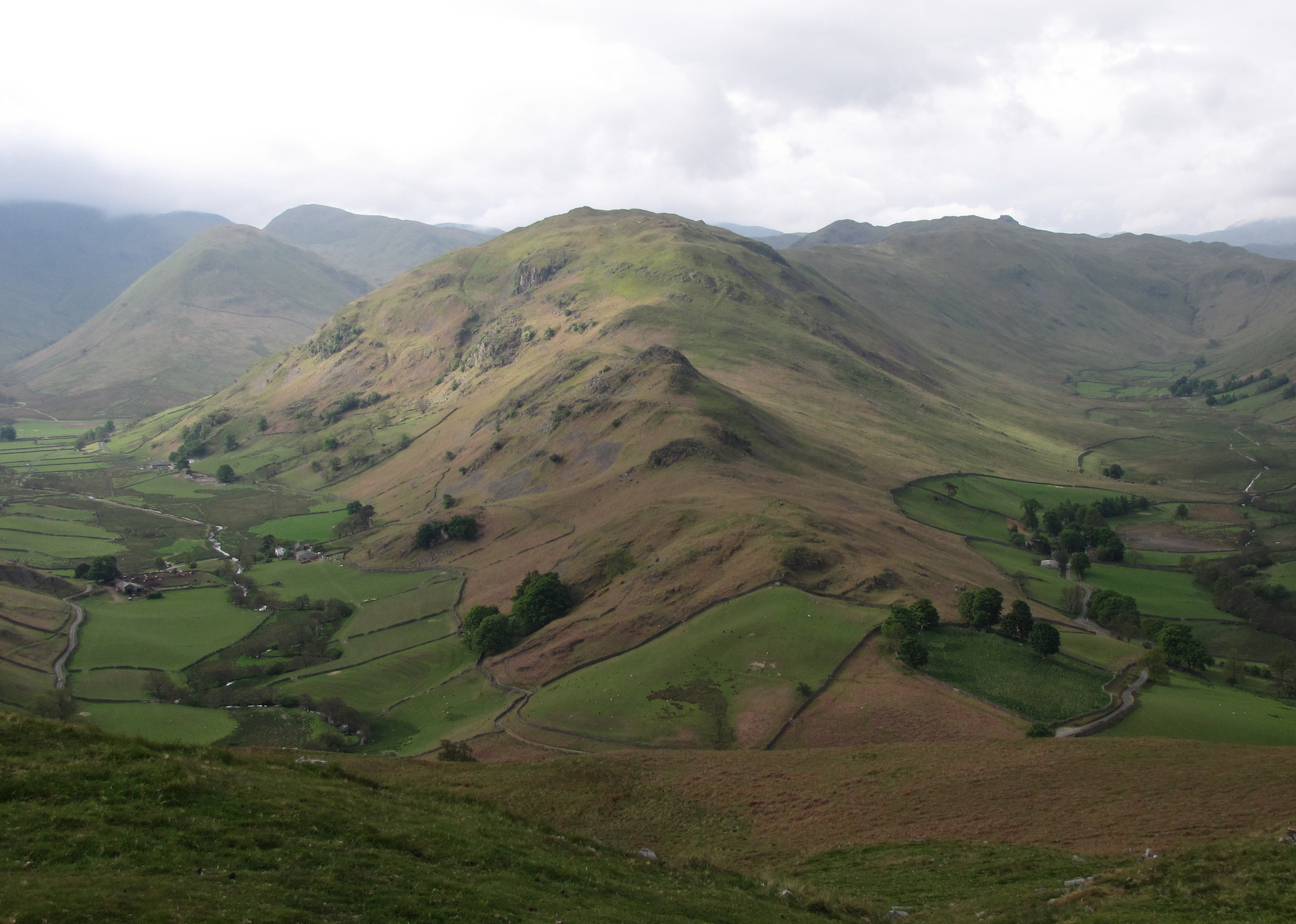
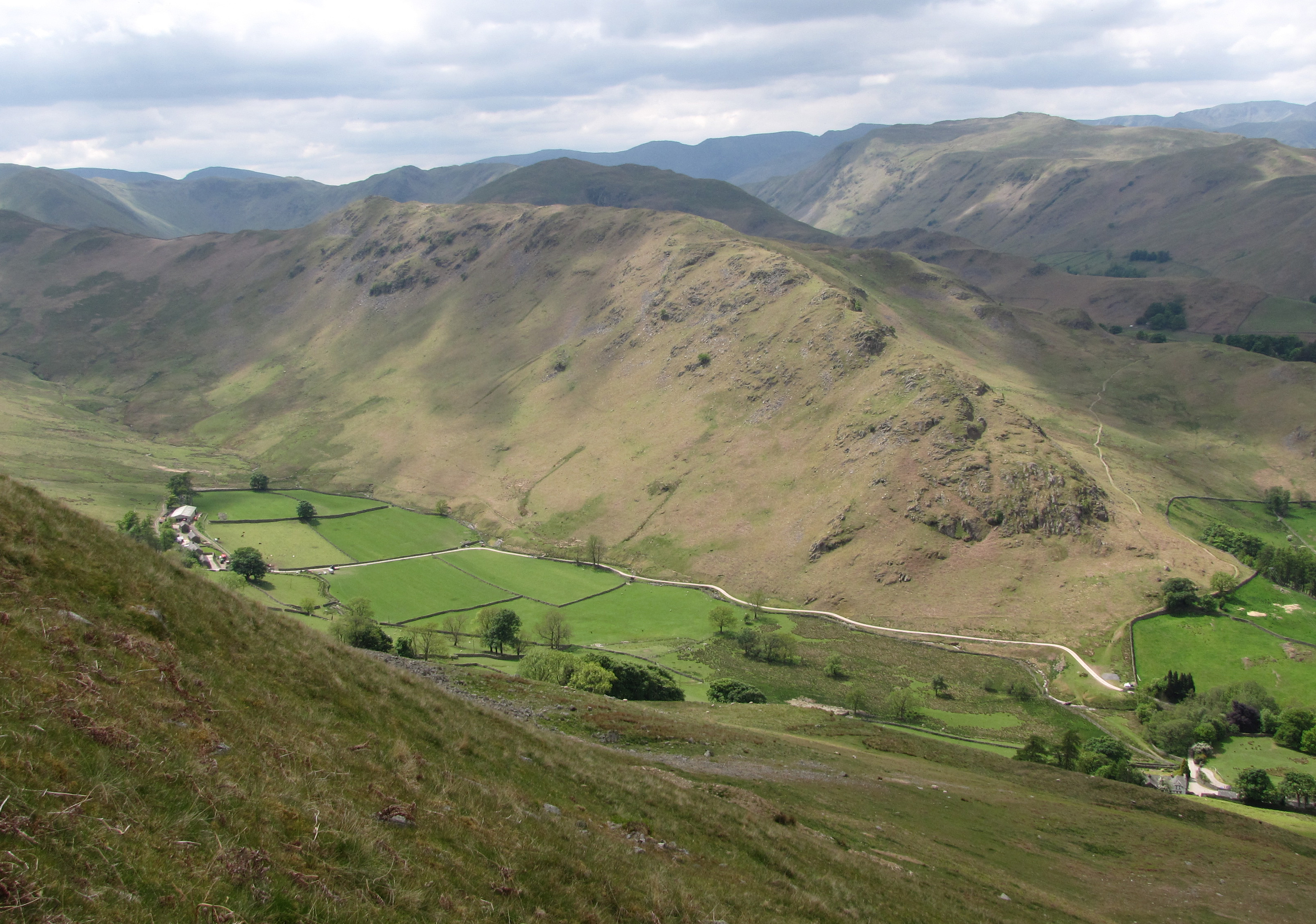
Covering an area of approximately 17 square miles, the common stretches across an undulating terrain, adorned with heather-clad hills, sprawling meadows, and serene tarns. The diverse topography of the area provides an ideal habitat for an array of flora and fauna, including rare bird species such as the golden eagle and the peregrine falcon.
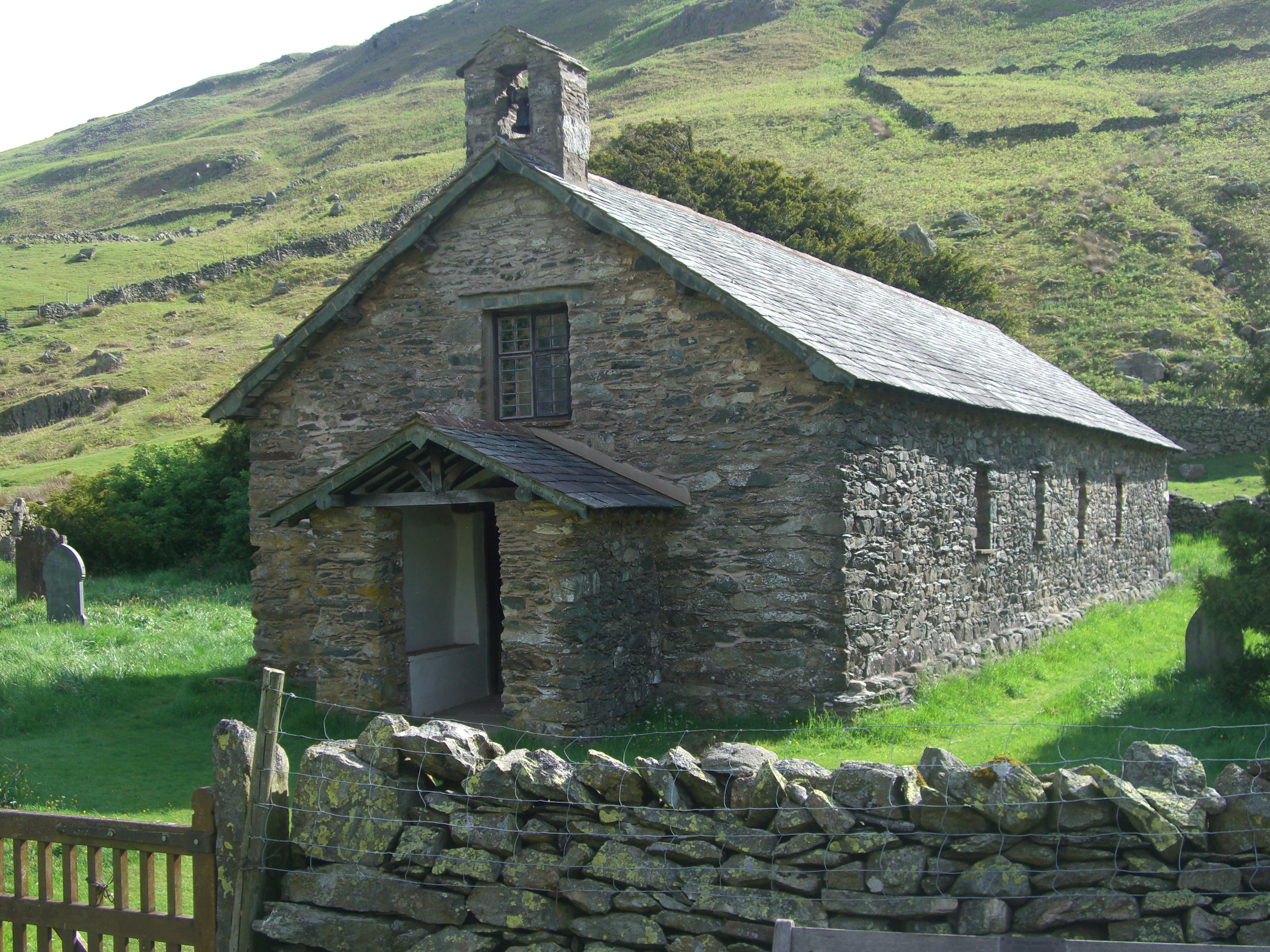
Martindale Common is steeped in history and is home to several ancient landmarks, including the iconic St. Martin's Church. This 16th-century church is an architectural gem, boasting a medieval tower and stunning stained glass windows. The common is also dotted with ancient stone circles and burial mounds, providing a glimpse into its rich past.
The area offers a plethora of outdoor activities and attractions for nature enthusiasts and adventure seekers alike. Visitors can indulge in hiking, mountain biking, and horse riding, traversing the network of scenic trails that crisscross the common. The Martindale Deer Forest, which encompasses a significant portion of the area, is a popular spot for wildlife spotting and nature walks.
With its unspoiled beauty and tranquil ambiance, Martindale Common is a haven for those seeking solace amidst nature's wonders. Its captivating vistas, cultural heritage, and abundant recreational opportunities make it a must-visit destination for tourists and locals alike.
If you have any feedback on the listing, please let us know in the comments section below.
Martindale Common Images
Images are sourced within 2km of 54.543507/-2.8760477 or Grid Reference NY4316. Thanks to Geograph Open Source API. All images are credited.


![Wall descending from Nab End Shewn on the earliest large-scale OS map [surveyed in 1860].](https://s1.geograph.org.uk/geophotos/06/91/65/6916577_0d112800.jpg)

![Rampsgill Beck, Ramps Gill Looking upstream [locally south]. This water will form part of Ullswater within about 6 kilometres.](https://s3.geograph.org.uk/geophotos/06/91/65/6916591_fa5bad8a.jpg)


![Red deer, below Bedafell Knott, Bannerdale 300 metres away, but well aware of me. Red deer are more usually seen on the east [Nab] side of Bannerdale.](https://s3.geograph.org.uk/geophotos/06/91/67/6916723_c7298698.jpg)
![Access track to a field barn, Bannerdale The barn [but not the tree it is under!] is shown on the large-scale OS map surveyed in 1860.](https://s0.geograph.org.uk/geophotos/06/91/67/6916732_3f56a941.jpg)


Martindale Common is located at Grid Ref: NY4316 (Lat: 54.543507, Lng: -2.8760477)
Administrative County: Cumbria
District: Eden
Police Authority: Cumbria
What 3 Words
///tripling.fault.hers. Near Shap, Cumbria
Nearby Locations
Related Wikis
Beda Fell
Beda Fell is a fell in the English Lake District, situated to the south of Ullswater. It divides the valleys of Boredale and Bannerdale within the Martindale...
Steel Knotts
Steel Knotts is a fell in the English Lake District, near to Ullswater in the Far Eastern Fells. It stands between the valleys of Fusedale and Martindale...

Martindale, Cumbria
Martindale is a valley, village and civil parish in Cumbria, England, situated within the Lake District National Park between the lakes of Ullswater and...
St Martin's Church, Martindale
St Martin's Church, Martindale is located in the valley of Martindale in Cumbria, England. It is often referred to as the "Old Church" to avoid confusion...
The Nab
The Nab is a fell in the English Lake District. It has a moderate height of 576 metres (1,890 feet), and lies in the quieter eastern high ground between...
Boredale
Boredale sometimes known as Boardale, is a valley within Lake District National Park, in Cumbria, England. The valley is close to the eastern shore of...
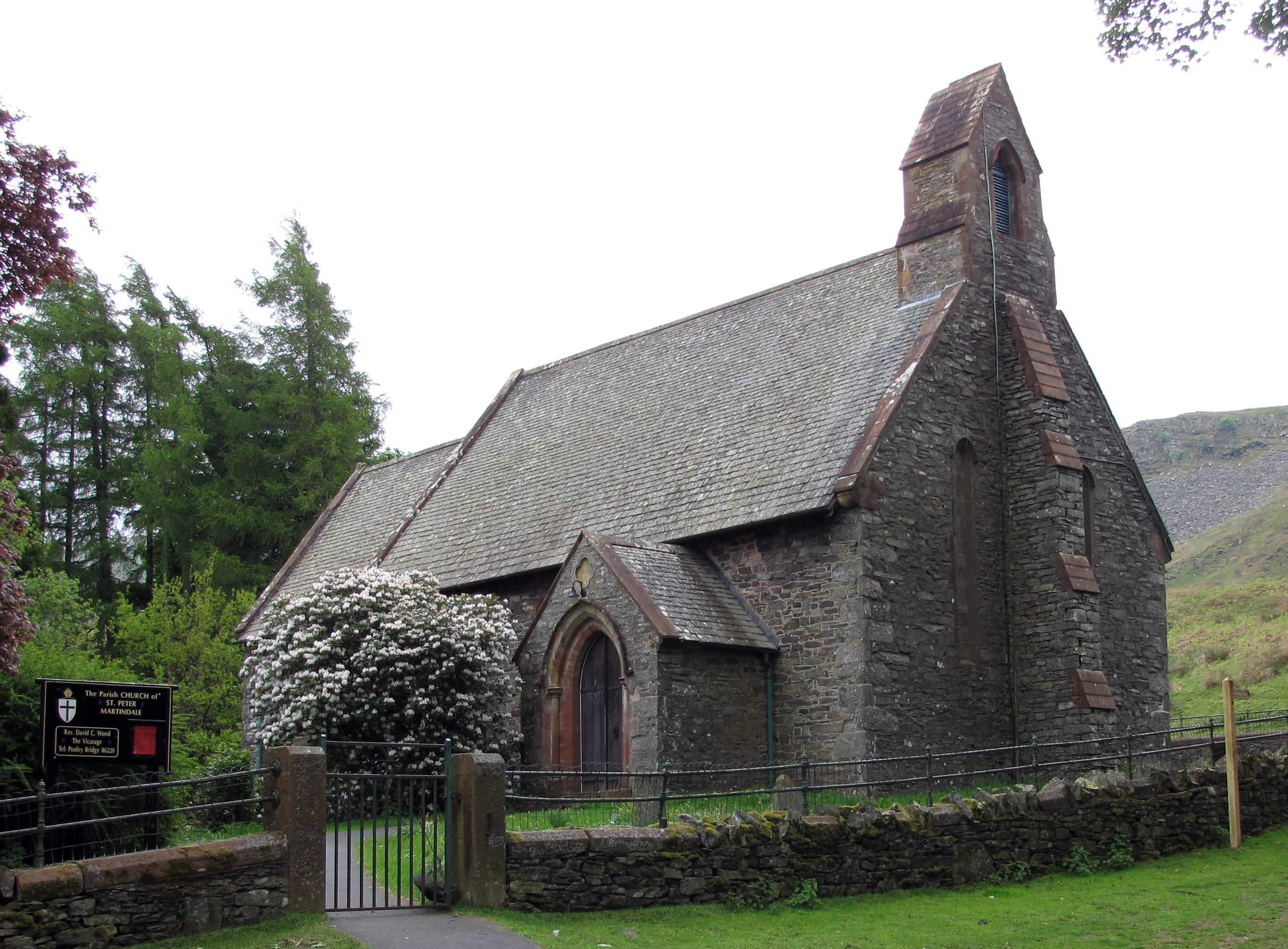
St Peter's Church, Martindale
St Peter’s Church is situated in the valley of Martindale in Cumbria, England. The church is located at the top of the hause on the minor road between...

Wether Hill (Lake District)
Wether Hill is a fell in the English Lake District, between Martindale and Haweswater. It lies on the main north-south ridge of the Far Eastern Fells between...
Nearby Amenities
Located within 500m of 54.543507,-2.8760477Have you been to Martindale Common?
Leave your review of Martindale Common below (or comments, questions and feedback).