Fala Moor
Downs, Moorland in Midlothian
Scotland
Fala Moor

Fala Moor, located in Midlothian, Scotland, is a picturesque area characterized by its vast expanse of downs and moorland. Spanning an area of approximately 2,500 acres, it offers a unique landscape that is both beautiful and ecologically diverse.
The moorland is predominantly covered by heather and grasses, providing a home for various species of birds, mammals, and insects. It is a designated Site of Special Scientific Interest (SSSI) due to its importance for wildlife conservation. Visitors can expect to spot a wide range of bird species, including red grouse, skylarks, and curlews, along with occasional sightings of birds of prey such as kestrels and buzzards.
Fala Moor is also known for its rich historical significance. It was once part of a larger estate owned by the Fala family, who held land in the area from the 12th to the 16th century. Ruins of their ancestral home, Fala Tower, can still be seen on the moor, serving as a reminder of the area's past.
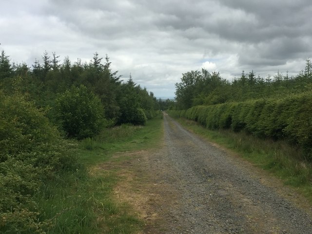
The moorland offers a tranquil environment for nature enthusiasts, walkers, and photographers alike. Several walking trails crisscross the area, allowing visitors to explore its natural beauty at their own pace. The open expanses of downs and moorland provide a sense of solitude and a chance to connect with nature.
Fala Moor, with its diverse wildlife, historical remnants, and serene ambiance, offers a unique experience for those seeking to immerse themselves in Scotland's natural and cultural heritage.
If you have any feedback on the listing, please let us know in the comments section below.
Fala Moor Images
Images are sourced within 2km of 55.816884/-2.9072682 or Grid Reference NT4358. Thanks to Geograph Open Source API. All images are credited.


Fala Moor is located at Grid Ref: NT4358 (Lat: 55.816884, Lng: -2.9072682)
Unitary Authority: Midlothian
Police Authority: The Lothians and Scottish Borders
What 3 Words
///postage.teaching.dupe. Near Gorebridge, Midlothian
Nearby Locations
Related Wikis

Fala Flow
Fala Flow is an area of upland blanket bog on the edge of the Lammermuir Hills, in Midlothian, Scotland. Located north of the village of Fala, around 15...

Soutra Aisle
Soutra Aisle, (the present structure lies just within the boundary of the Scottish Borders from Midlothian) not far from Fala, is the remains of the House...
Cakemuir Castle
Cakemuir Castle is an historic house situated 4 miles (6.4 km) southeast of Pathhead, in the Lammermuir Hills, Midlothian, Scotland. The name may be connected...

Fala, Midlothian
Fala is a hamlet in the south-eastern corner of Midlothian, Scotland, and about 15 miles from Edinburgh. == Location == The parish of the same name is...
Nearby Amenities
Located within 500m of 55.816884,-2.9072682Have you been to Fala Moor?
Leave your review of Fala Moor below (or comments, questions and feedback).