Fala Dam Brae
Downs, Moorland in Midlothian
Scotland
Fala Dam Brae
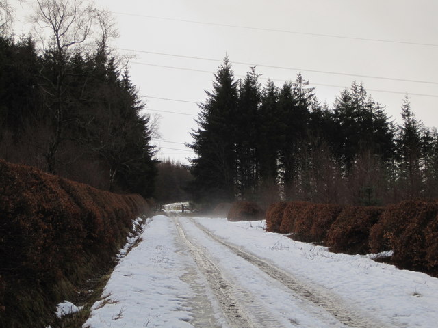
Fala Dam Brae is a picturesque area located in Midlothian, Scotland. Situated in the rolling hills of the Scottish Borders, it is known for its stunning natural beauty and charming landscapes. The name "Fala Dam Brae" derives from the nearby Fala Dam, a small reservoir that adds to the allure of the area.
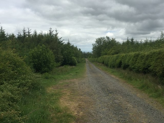
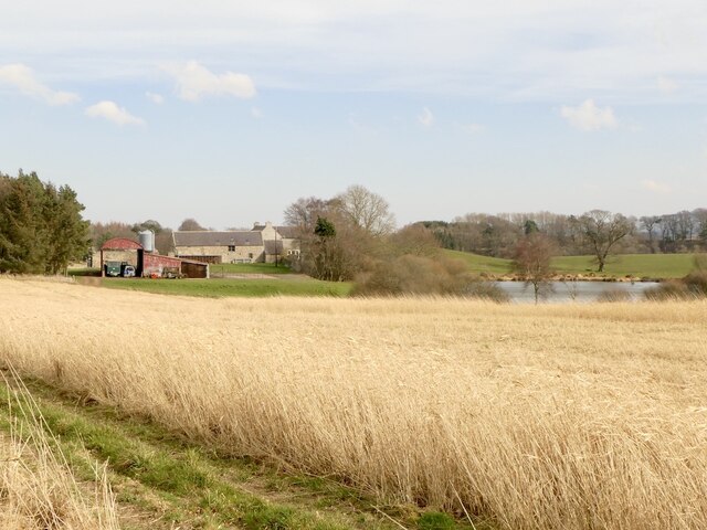
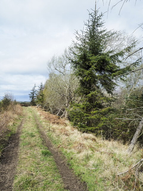
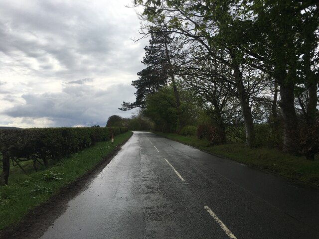
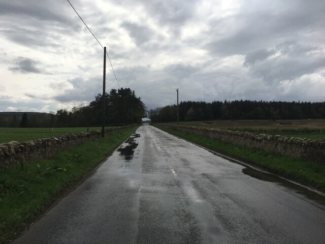
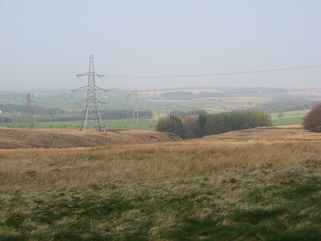
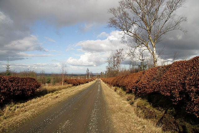
The landscape of Fala Dam Brae is characterized by gentle slopes, verdant meadows, and lush woodlands. The undulating terrain offers breathtaking panoramic views of the surrounding countryside, making it a popular spot for outdoor enthusiasts and nature lovers. The area is rich in flora and fauna, with an abundance of wildflowers, trees, and various bird species.
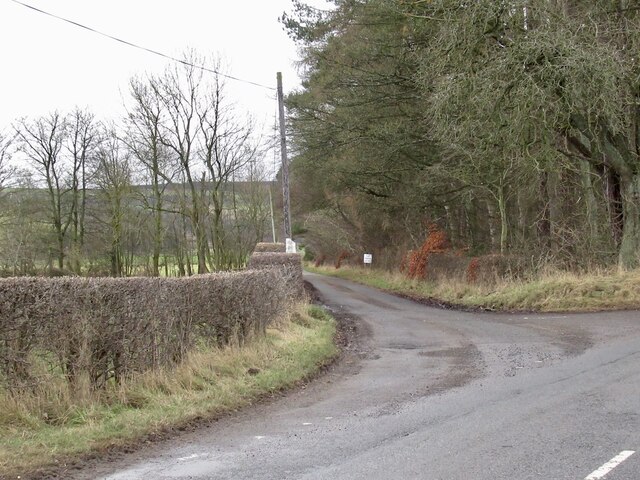
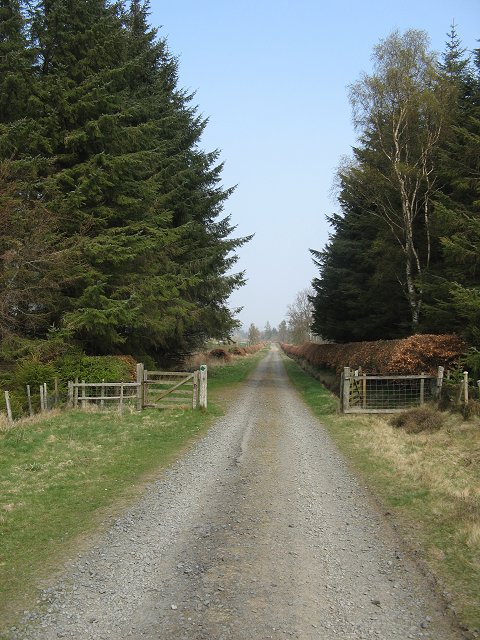
Fala Dam Brae is a haven for hikers, walkers, and cyclists, as it boasts a network of well-maintained trails. These paths wind through the countryside, taking visitors on a journey through idyllic farmland, peaceful moorland, and enchanting forests. The area is also home to several historic landmarks, including Fala Dam itself, which was built in the 19th century to provide water to nearby villages.
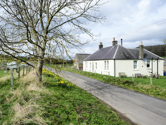
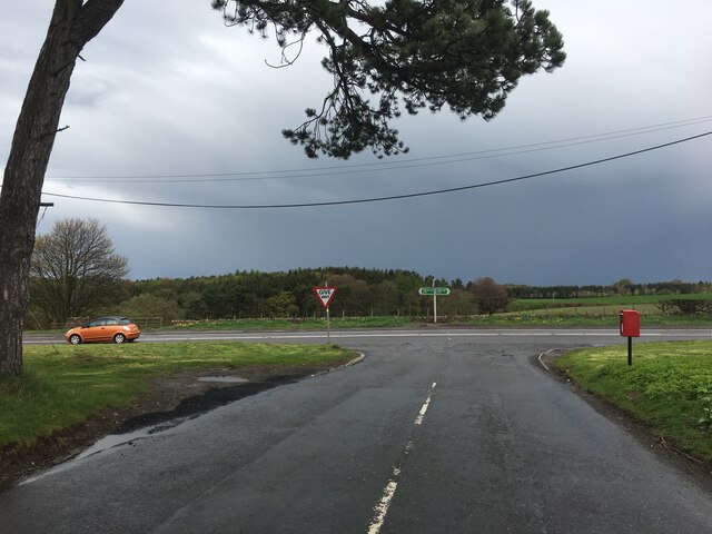
Aside from its natural beauty, Fala Dam Brae offers a tranquil escape from the bustle of city life. The peaceful atmosphere and serene surroundings make it an ideal location for those seeking solace and relaxation. The area is also within close proximity to the charming village of Fala, where visitors can find quaint cafes, traditional pubs, and local shops.
In summary, Fala Dam Brae in Midlothian, Scotland, is a captivating area renowned for its scenic landscapes, diverse wildlife, and outdoor recreational opportunities. Whether one is seeking a leisurely stroll or an adventurous hike, this idyllic destination offers something for everyone to enjoy.
If you have any feedback on the listing, please let us know in the comments section below.
Fala Dam Brae Images
Images are sourced within 2km of 55.842563/-2.9110283 or Grid Reference NT4361. Thanks to Geograph Open Source API. All images are credited.


Fala Dam Brae is located at Grid Ref: NT4361 (Lat: 55.842563, Lng: -2.9110283)
Unitary Authority: Midlothian
Police Authority: The Lothians and Scottish Borders
What 3 Words
///prospers.remaining.microfilm. Near Pencaitland, East Lothian
Nearby Locations
Related Wikis

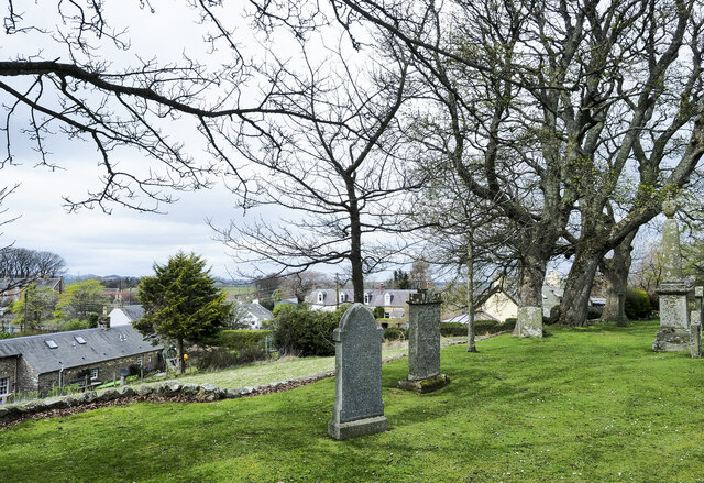
Fala, Midlothian
Fala is a hamlet in the south-eastern corner of Midlothian, Scotland, and about 15 miles from Edinburgh. == Location == The parish of the same name is...

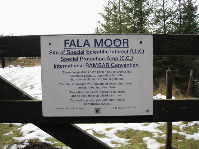
Fala Flow
Fala Flow is an area of upland blanket bog on the edge of the Lammermuir Hills, in Midlothian, Scotland. Located north of the village of Fala, around 15...
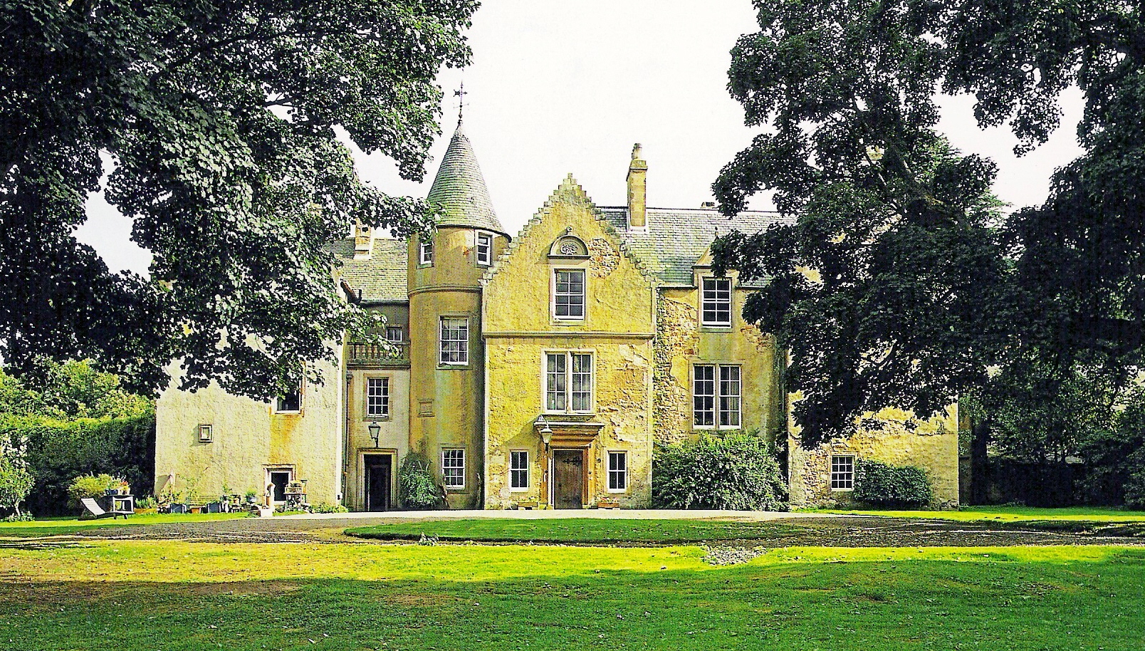
Cakemuir Castle
Cakemuir Castle is an historic house situated 4 miles (6.4 km) southeast of Pathhead, in the Lammermuir Hills, Midlothian, Scotland. The name may be connected...

Humbie
Humbie is a hamlet and rural parish in East Lothian, Scotland lying in south-east of the county, approximately 10 miles (16 km) south-west of Haddington...
Keith Marischal
Keith Marischal is a Scottish Baronial Country house lying in the parish of Humbie, East Lothian, Scotland. The original building was an "L-shaped" Tower...

Soutra Aisle
Soutra Aisle, (the present structure lies just within the boundary of the Scottish Borders from Midlothian) not far from Fala, is the remains of the House...
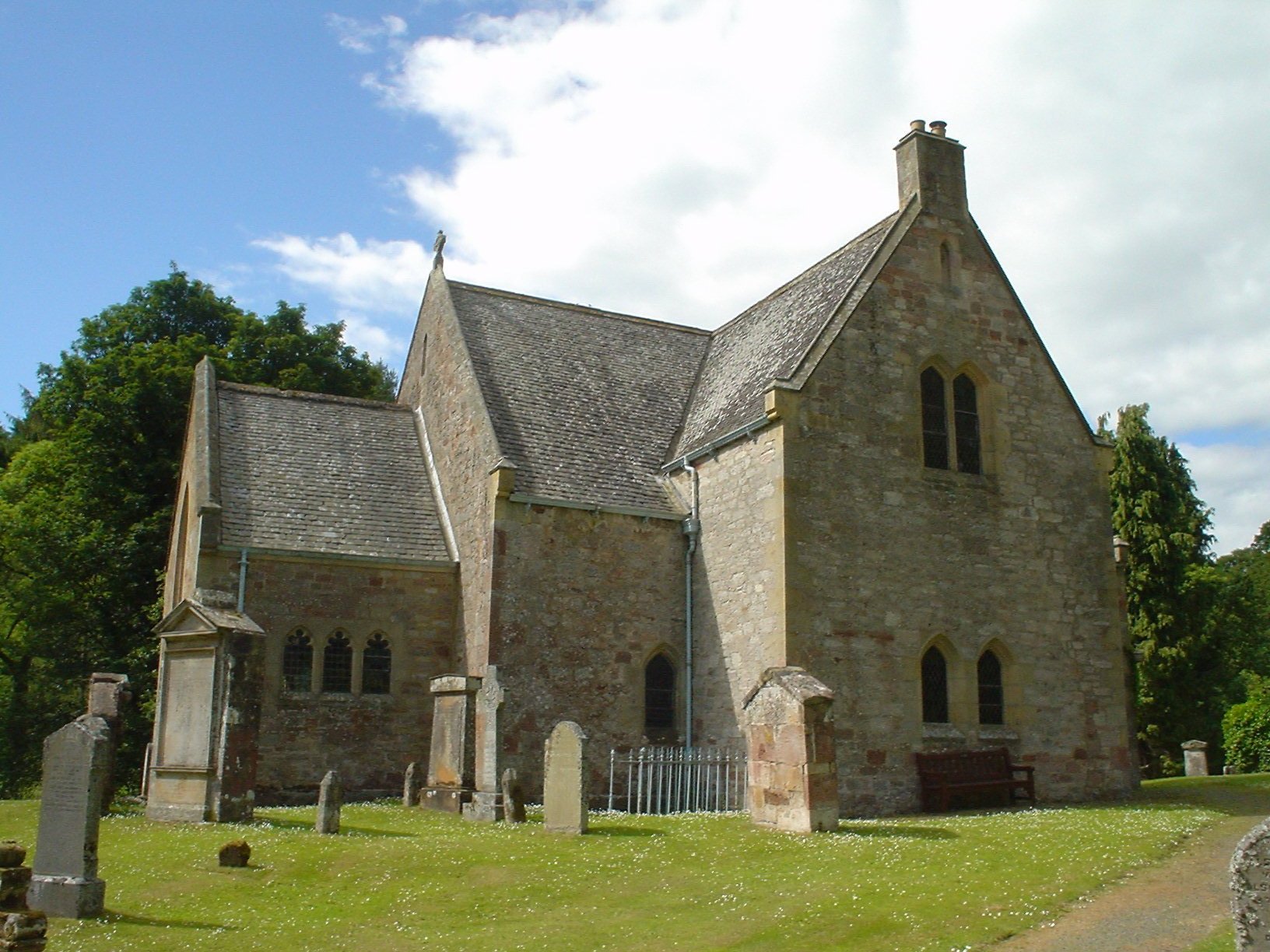
Humbie Parish Church
Humbie Parish Church is a church in the small village of Humbie, East Lothian, Scotland. It is part of the Church of Scotland, and is a linked charge which...

Peaston
Peaston is a small settlement on the B6371 road in the parish of Ormiston in East Lothian, Scotland, about 14 miles (23 km) south-east of Edinburgh, 7...
Nearby Amenities
Located within 500m of 55.842563,-2.9110283Have you been to Fala Dam Brae?
Leave your review of Fala Dam Brae below (or comments, questions and feedback).