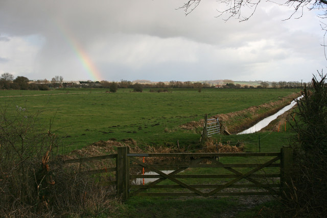
Barry Moor
Downs, Moorland in Somerset South Somerset
England
Barry Moor
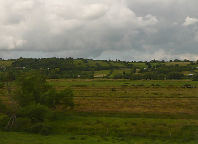
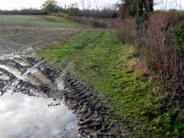
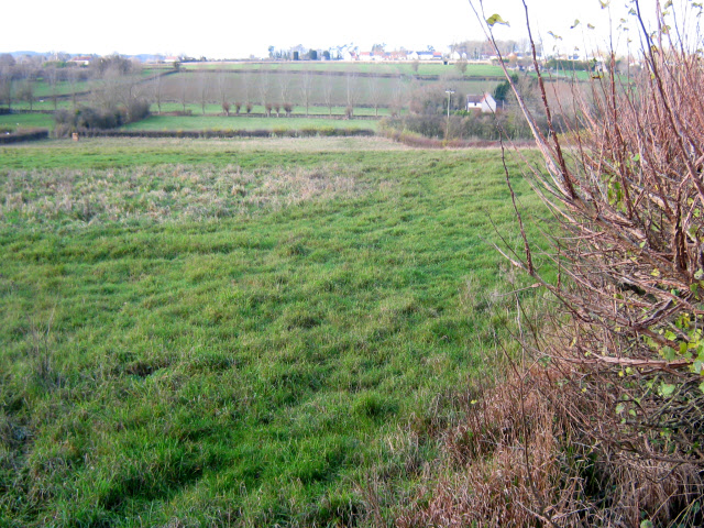
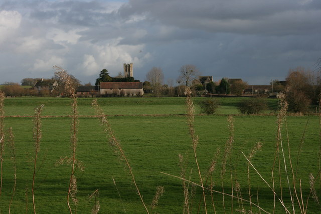
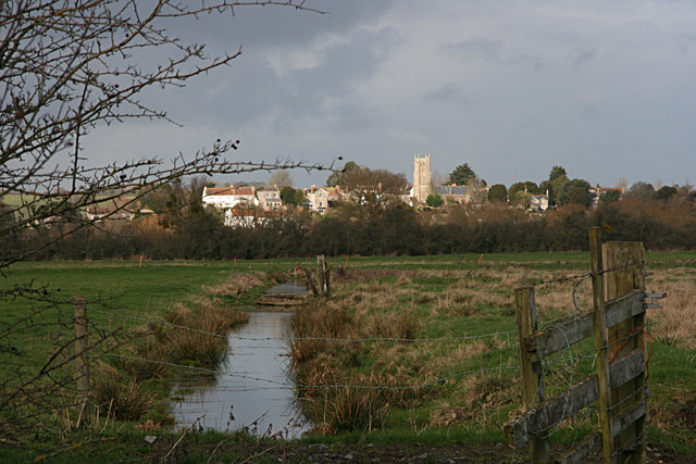
Barry Moor is a picturesque region located in Somerset, England. It is characterized by its rolling downs and expansive moorlands, offering a diverse and captivating landscape for visitors to explore. The area is known for its natural beauty, with vast open spaces, heathlands, and sweeping views that attract nature enthusiasts and outdoor adventurers alike.
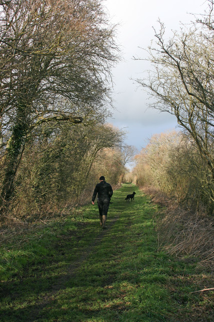
The moorland of Barry Moor is home to an array of wildlife, including rare bird species such as the curlew and lapwing, as well as various reptiles and mammals. Visitors can often spot grazing sheep and wild ponies roaming freely across the moors, adding to the area's charm and tranquility.
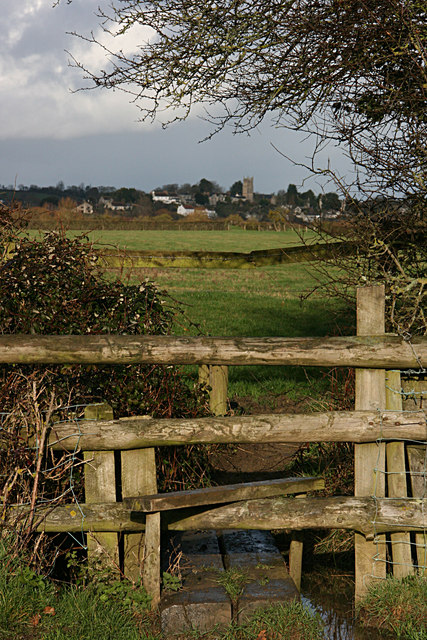
The downs of Barry Moor are a sight to behold, with their gentle slopes covered in lush grasses and dotted with vibrant wildflowers during the summer months. The rolling hills provide picturesque vistas and create a perfect setting for walking, hiking, and picnicking. Along the downs, there are numerous footpaths and trails for visitors to explore, allowing them to immerse themselves in the stunning natural surroundings.
Barry Moor is also steeped in history, with ancient burial mounds and archaeological sites scattered throughout the region. These remnants of the past offer a glimpse into the area's rich and intriguing heritage.
Overall, Barry Moor in Somerset offers a captivating blend of natural beauty, diverse wildlife, and historical significance. Whether visitors are seeking a peaceful retreat in nature or an opportunity to delve into the past, Barry Moor has something to offer for everyone.
If you have any feedback on the listing, please let us know in the comments section below.
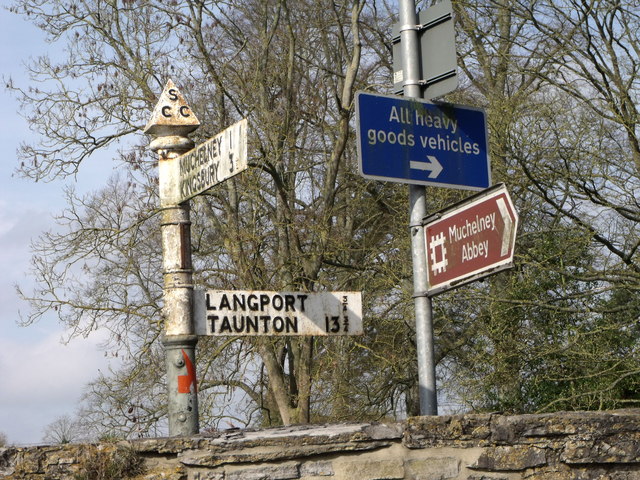
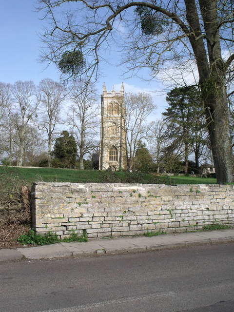
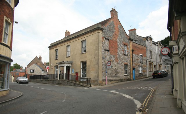
Barry Moor Images
Images are sourced within 2km of 51.037607/-2.8146177 or Grid Reference ST4226. Thanks to Geograph Open Source API. All images are credited.
Barry Moor is located at Grid Ref: ST4226 (Lat: 51.037607, Lng: -2.8146177)
Administrative County: Somerset
District: South Somerset
Police Authority: Avon and Somerset
What 3 Words
///signed.sediment.expiring. Near Langport, Somerset
Nearby Locations
Related Wikis
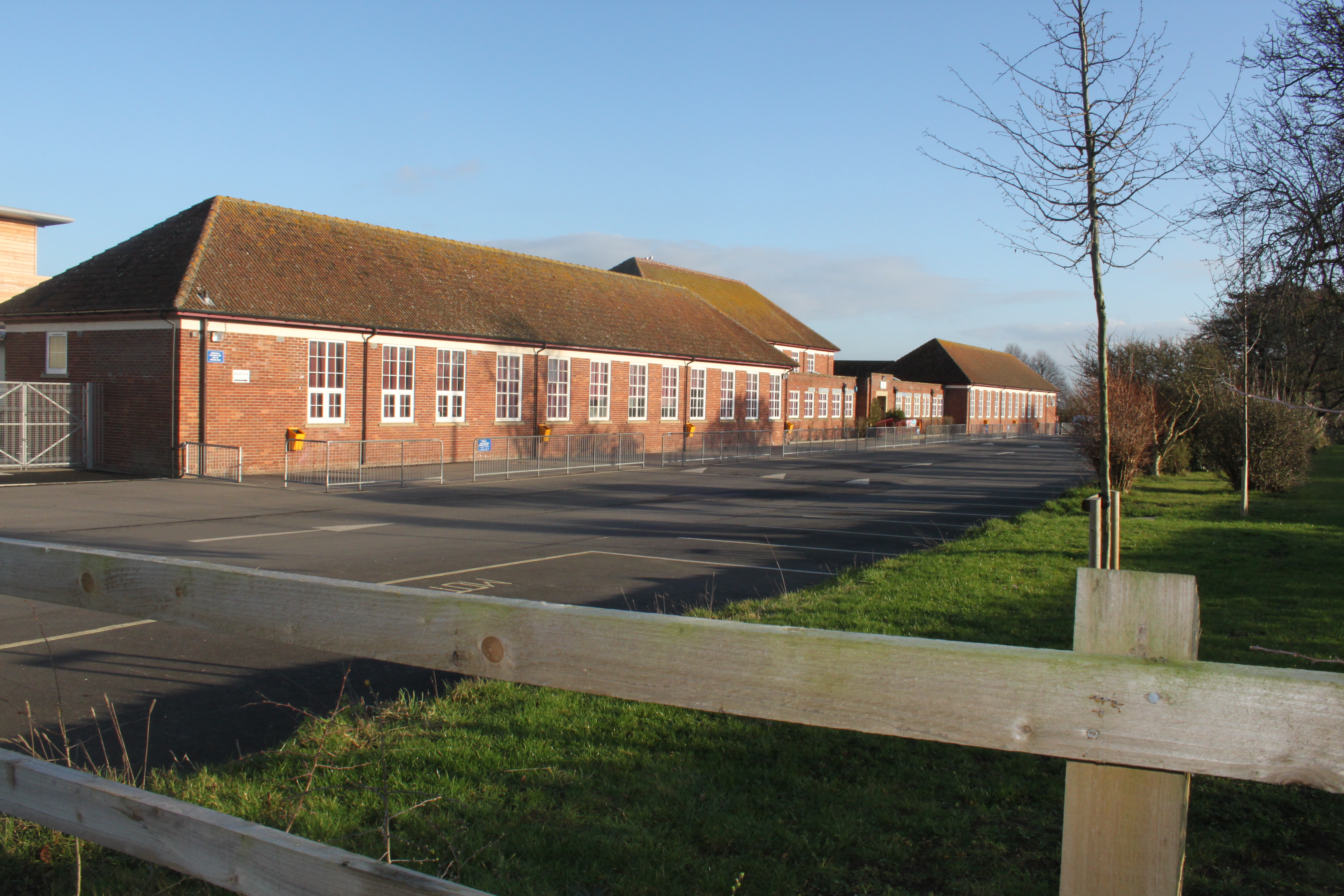
Huish Episcopi Academy
Huish Episcopi Academy is a coeducational secondary school located in Huish Episcopi near Langport, Somerset, England. The school has a specialist status...

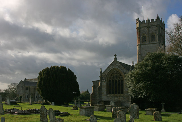
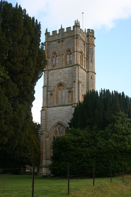
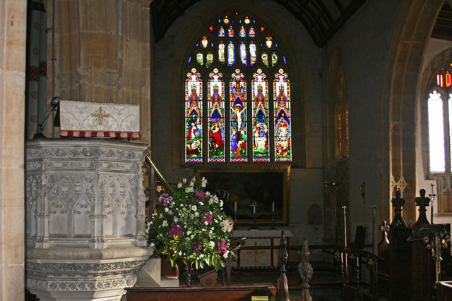
Church of the Blessed Virgin Mary, Huish Episcopi
The Church of the Blessed Virgin Mary in Huish Episcopi, Somerset, England, has 12th-century origins but was largely rebuilt in the 14th, 15th and 16th...
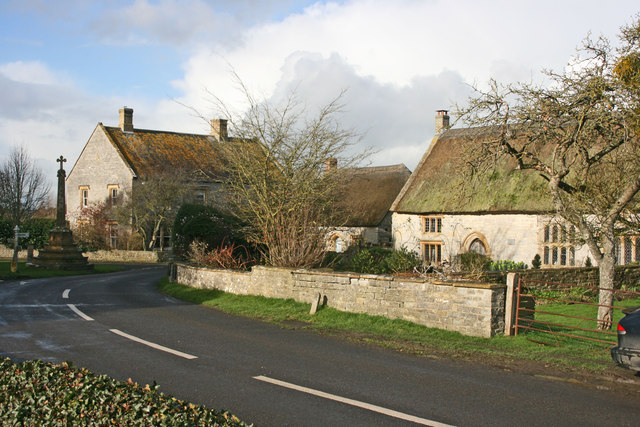
Huish Episcopi
Huish Episcopi is a village and civil parish in Somerset, England, situated on the outskirts of Langport, 4 miles (6.4 km) south west of Somerton. The...

Langport Railway Cutting
Langport Railway Cutting (grid reference ST427272) is a 0.5 hectare geological Site of Special Scientific Interest at Langport in Somerset, England, notified...
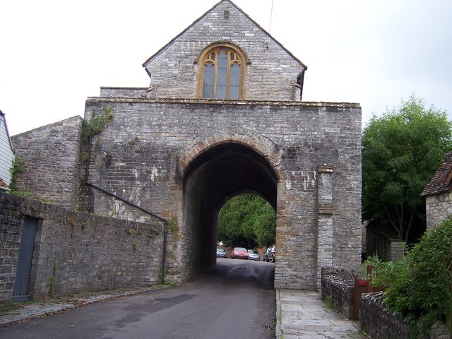
The Hanging Chapel
The Hanging Chapel (more formally known as the Chantry Chapel of the Blessed Virgin Mary) in Langport, Somerset, England is a 13th-century archway, bearing...

Church of All Saints, Langport
The Church of All Saints in Langport, Somerset, England, has 12th-century origins but was rebuilt in the late 15th century. It is recorded in the National...
Langport East railway station
Langport East was a railway station situated in Langport in Somerset. The station also served Huish Episcopi. The station was on the Langport and Castle...

Langport Rural District
Langport was a rural district in Somerset, England, from 1894 to 1974. It was created in 1894 under the Local Government Act 1894. In 1974 it was abolished...
Nearby Amenities
Located within 500m of 51.037607,-2.8146177Have you been to Barry Moor?
Leave your review of Barry Moor below (or comments, questions and feedback).