Borrans Plantation
Downs, Moorland in Westmorland South Lakeland
England
Borrans Plantation
Borrans Plantation, located in Westmorland, is a picturesque and idyllic area encompassing both downs and moorland landscapes. Situated in the northwestern region of England, the plantation offers a diverse environment for both wildlife and visitors alike.
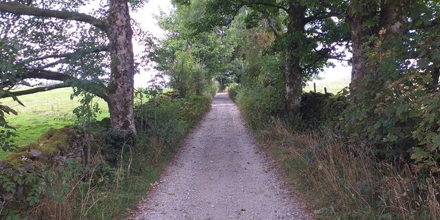
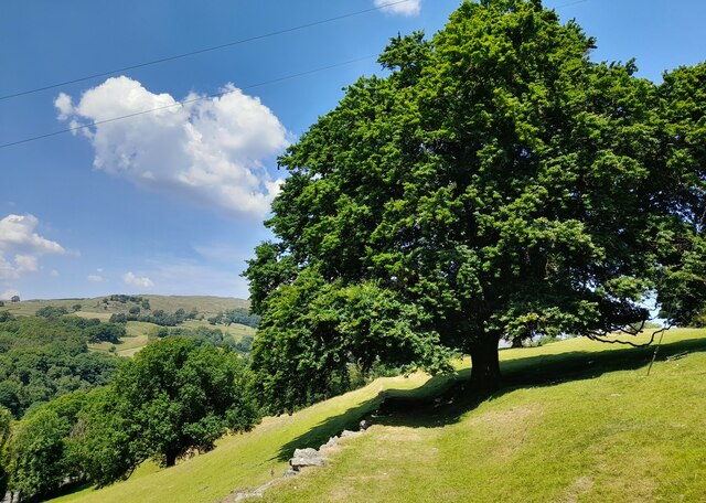
The plantation spans across a vast area, characterized by rolling hills and open spaces. The downs section of Borrans Plantation is known for its lush green grasslands, dotted with vibrant wildflowers during the summer months. These downs provide a peaceful and serene setting, perfect for leisurely walks and picnics.
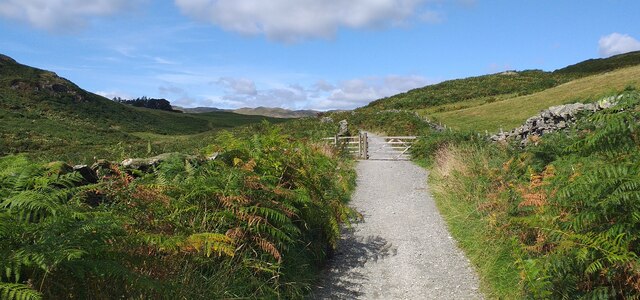
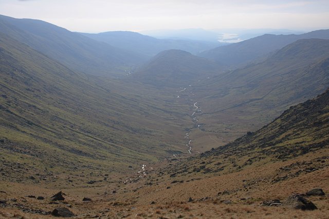
On the other hand, the moorland section of Borrans Plantation offers a striking contrast with its rugged and untamed beauty. Covered in heather and scattered with rocky outcrops, the moorland provides a haven for various bird species such as curlews and grouse. The area also boasts several natural ponds and streams, contributing to the rich biodiversity of the region.
Visitors to Borrans Plantation can explore the numerous walking trails that crisscross the area, offering stunning views of the surrounding countryside. The plantation is a popular destination for nature enthusiasts, photographers, and those seeking tranquility away from the bustling city life.
Managed by local authorities, Borrans Plantation is well-maintained, ensuring the preservation of its natural beauty. Facilities such as parking areas and information boards are available for the convenience of visitors.
Overall, Borrans Plantation in Westmorland is a captivating destination for nature lovers, offering a harmonious blend of downs and moorland landscapes, providing a glimpse into the beauty of England's countryside.
If you have any feedback on the listing, please let us know in the comments section below.
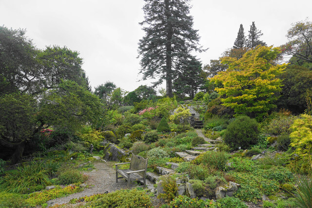
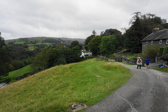
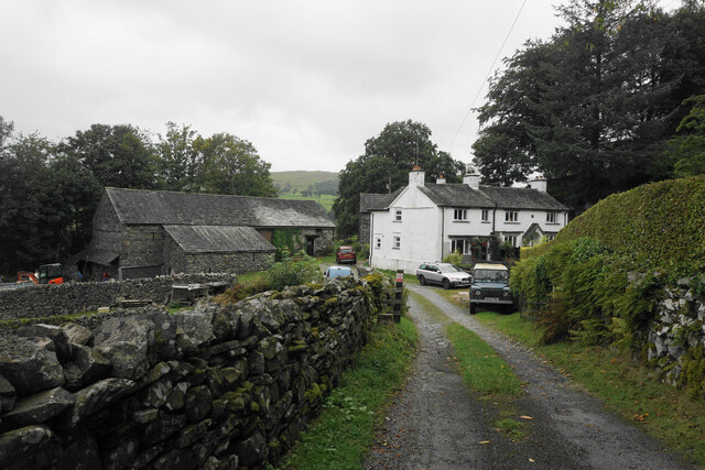
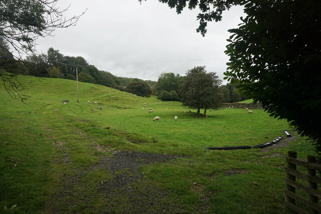
Borrans Plantation Images
Images are sourced within 2km of 54.403203/-2.880171 or Grid Reference NY4201. Thanks to Geograph Open Source API. All images are credited.


Borrans Plantation is located at Grid Ref: NY4201 (Lat: 54.403203, Lng: -2.880171)
Administrative County: Cumbria
District: South Lakeland
Police Authority: Cumbria
What 3 Words
///posts.blush.innovator. Near Windermere, Cumbria
Nearby Locations
Related Wikis

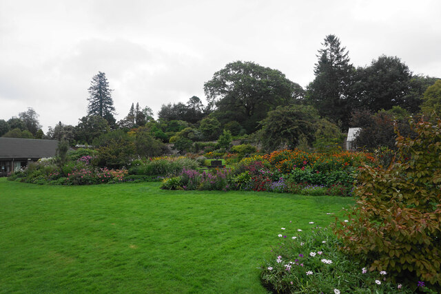
Holehird Gardens
Holehird Gardens is an extensive 10-acre site located near Windermere, Cumbria, England. It is the home of the Lakeland Horticultural Society. The garden...

Sour Howes
Sour Howes is a small fell in the English Lake District. It is situated five kilometres east of Ambleside, between the Troutbeck and Kentmere valleys and...

Jesus Church, Troutbeck
Jesus Church is in the village of Troutbeck in the Lake District, Cumbria, England. It is an active Anglican parish church in the deanery of Windermere...
Trout Beck
The Trout Beck is a fast flowing stream of the Lake District in North West England. It is one of the main sources of replenishment for Windermere, and...

Windermere School
Windermere School is an independent, coeducational boarding and day school in the English Lake District. Founded in 1863, it has approximately 360 pupils...

Orrest Head
Orrest Head is a hill in the English Lake District on the eastern shores of Windermere. It is the subject of a chapter in Wainwright's The Outlying Fells...
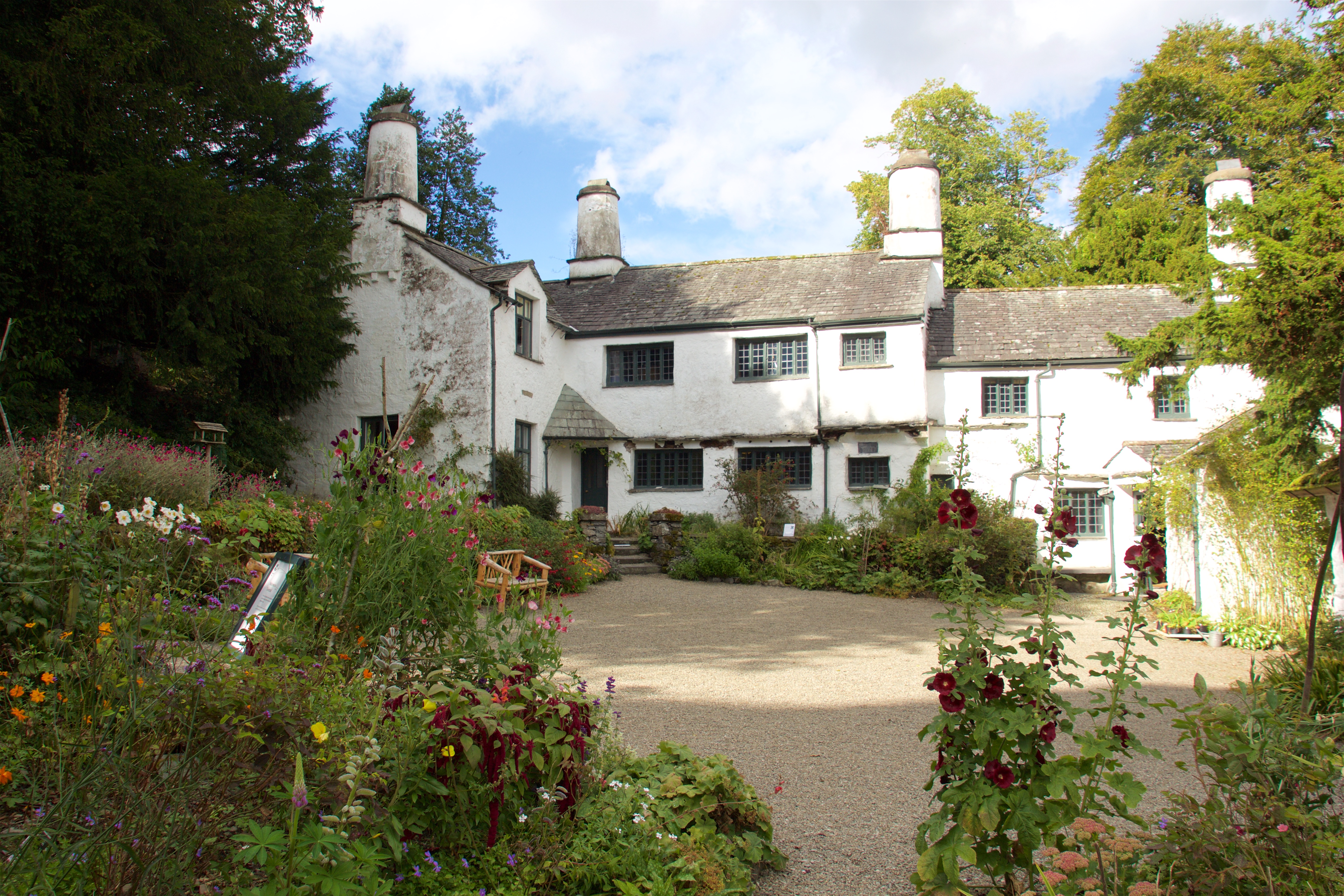
Townend
Townend is a 17th-century house located in Troutbeck, in the civil parish of Lakes, near Windermere, Cumbria, England, and in the ownership of the National...
Troutbeck, Lakes
Troutbeck is a village and former civil parish, now in the parish of Lakes, in Westmorland and Furness unitary authority in the ceremonial county of...
Nearby Amenities
Located within 500m of 54.403203,-2.880171Have you been to Borrans Plantation?
Leave your review of Borrans Plantation below (or comments, questions and feedback).