Batemanfold Allotment

Downs, Moorland in Westmorland South Lakeland

England

Batemanfold Allotment

Footpath towards Bryan Houses Plantation
Footpath towards Bryan Houses Plantation Credit: Anthony Parkes

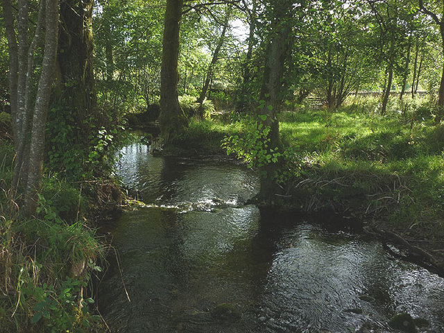
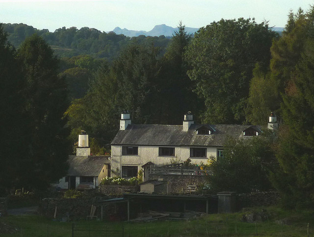
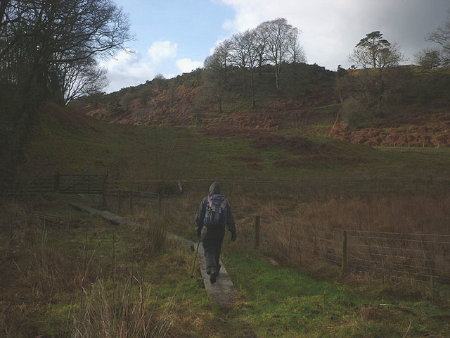
Batemanfold Allotment is a picturesque piece of land located in Westmorland, a historic county in the north-west of England. Situated amidst the stunning landscape of the Downs and Moorland, this allotment offers a serene and idyllic setting for those interested in gardening and outdoor activities.

Covering a total area of approximately 2 acres, Batemanfold Allotment is a well-maintained plot of land that is divided into smaller sections for individual cultivation. The site features a variety of soil types, ranging from clay to loam, providing diverse opportunities for growing different types of plants and vegetables.

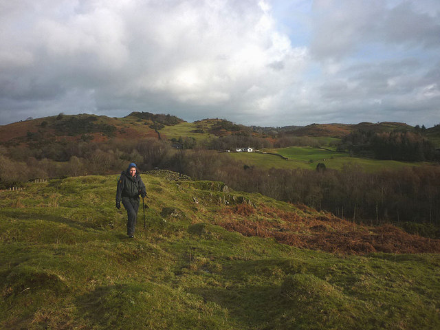
The allotment is surrounded by rolling hills and beautiful meadows, creating a tranquil environment that is perfect for relaxation and escaping the hustle and bustle of modern life. The landscape is dotted with native trees and wildflowers, attracting a wide array of birds and wildlife, making it a haven for nature enthusiasts.

Batemanfold Allotment is equipped with basic amenities to support the needs of its users. It has a communal water source, allowing for easy irrigation, and there are also storage sheds available for tools and equipment. Additionally, the allotment has a dedicated parking area for convenient access.

The allotment is managed by a local community group, who ensure that the site is well-maintained and offer support to members in terms of advice and guidance on gardening techniques. Regular events and workshops are organized for members to share knowledge and socialize with like-minded individuals.

Overall, Batemanfold Allotment in Westmorland provides a unique opportunity for individuals to connect with nature, nurture their gardening skills, and enjoy the beauty of the surrounding countryside.

If you have any feedback on the listing, please let us know in the comments section below.

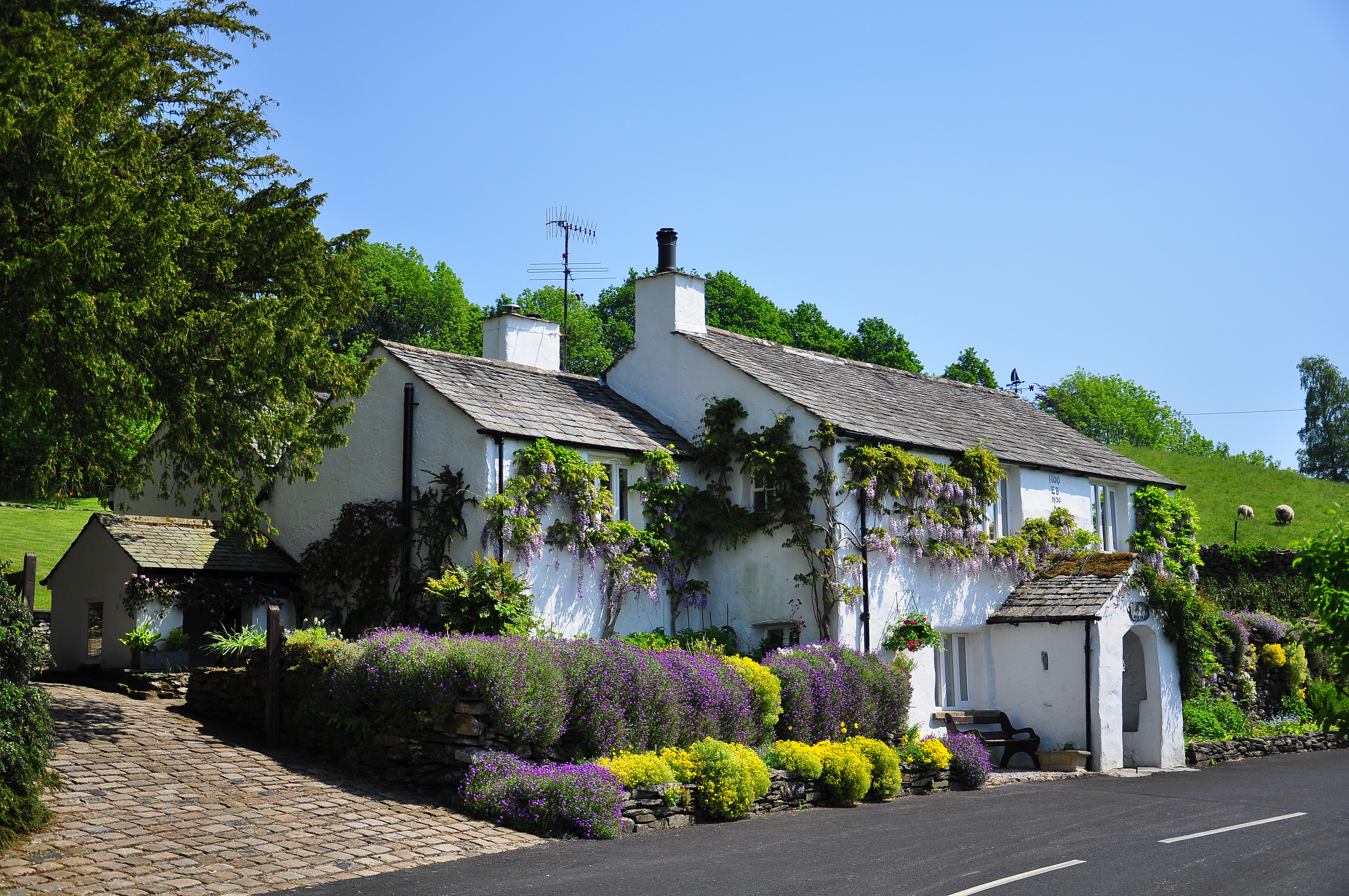
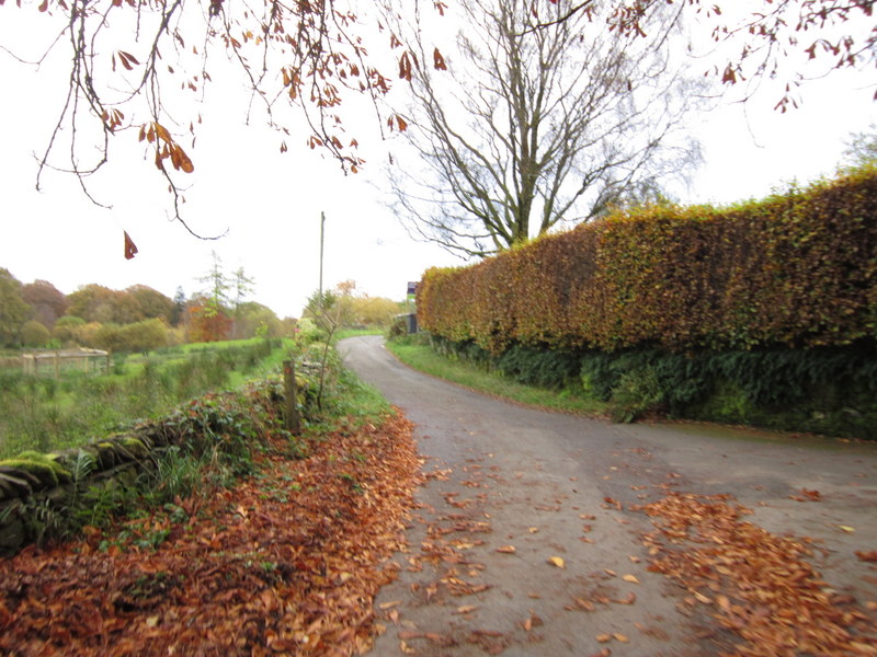
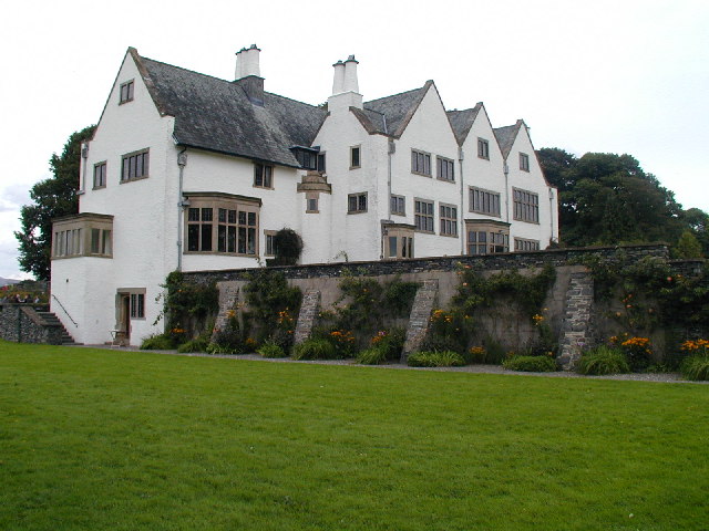
Batemanfold Allotment Images

Images are sourced within 2km of 54.339471/-2.8829308 or Grid Reference SD4294. Thanks to Geograph Open Source API. All images are credited.

Footpath towards Bryan Houses Plantation
The Brown Horse Public House at Winster
House at Broom Hill
House at Broom Hill
Birk Moss A zoom shot of the cattle and sheep farm from high ground to the south east. The shot shows the contrast between the rolling Silurian slate country near Windermere and the more rugged volcanic rocks of the higher central fells. The Langdale Pikes, particularly, stand out on the skyline.
Birk Moss
A zoom shot of the cattle and sheep farm from high ground to the south east. The shot shows the contrast between the rolling Silurian slate country near Windermere and the more rugged volcanic rocks of the higher central fells. The Langdale Pikes, particularly, stand out on the skyline.
Large white house at The Howe, Boars Rock A zoom shot from high ground to the south of this very singular house.
Large white house at The Howe, Boars Rock
A zoom shot from high ground to the south of this very singular house.
The River Gilpin below Foxhole Bank Viewed from the bridge that carries the access track/footpath.
The River Gilpin below Foxhole Bank
Viewed from the bridge that carries the access track/footpath.
Thornyfields in the Gilpin Valley Typical Lakeland cottages below the steep, wooded bank of Bowmabble Breast. From the heights of Hart Howe it is possible to see the distant Coniston fells beyond.
Thornyfields in the Gilpin Valley
Typical Lakeland cottages below the steep, wooded bank of Bowmabble Breast. From the heights of Hart Howe it is possible to see the distant Coniston fells beyond.
Mossy drystone wall An indicator of the often damp climate up here.
Mossy drystone wall
An indicator of the often damp climate up here.
Birk Moss (2) A zoom shot of the cattle and sheep farm from high ground to the south east. The shot shows the contrast between the rolling Silurian slate country near Windermere and the more rugged volcanic rocks of the higher fells (left to right: Wetherlam, Crinkle Crags, Bow Fell and Great Gable).
Birk Moss (2)
A zoom shot of the cattle and sheep farm from high ground to the south east. The shot shows the contrast between the rolling Silurian slate country near Windermere and the more rugged volcanic rocks of the higher fells (left to right: Wetherlam, Crinkle Crags, Bow Fell and Great Gable).
Greenbank Farm The distinctive outline of the Langdale Pikes on the skyline.
Greenbank Farm
The distinctive outline of the Langdale Pikes on the skyline.
Winter dusk, Winster Valley Watching the colours in the sky as the sun sets behind Gummer's How.
Winter dusk, Winster Valley
Watching the colours in the sky as the sun sets behind Gummer's How.
Hawkearth Bank The bank is a rough, low ridge of Silurian rock rising above the Winster Valley, typical of the countryside east of Windermere. Beyond, is the higher ground of Scott Howe (171m)
Hawkearth Bank
The bank is a rough, low ridge of Silurian rock rising above the Winster Valley, typical of the countryside east of Windermere. Beyond, is the higher ground of Scott Howe (171m)
Parish boundary stone Carved with Crosthwaite and Winster on opposite sides.
Parish boundary stone
Carved with Crosthwaite and Winster on opposite sides.
The footpath to Birks Bridge Due to much recent rainfall, the path is very soft in places, especially crossing Hawkearth Moss where a few duckboards have been placed.
The footpath to Birks Bridge
Due to much recent rainfall, the path is very soft in places, especially crossing Hawkearth Moss where a few duckboards have been placed.
Lonesome pine, Winster Valley Scots pine to be exact. Scots pines are not that common here and this one sits on open ground so is quite prominent. A good place to stand and watch the sky change colour as the sun sets behind Gummer's How.
Lonesome pine, Winster Valley
Scots pine to be exact. Scots pines are not that common here and this one sits on open ground so is quite prominent. A good place to stand and watch the sky change colour as the sun sets behind Gummer's How.
Lonesome pine, Winster Valley (2) Scots pine to be exact. Scots pines are not that common here and this one sits on open ground so is quite prominent. A good place to stand and watch the sky change colour as the sun sets behind Gummer's How.
Lonesome pine, Winster Valley (2)
Scots pine to be exact. Scots pines are not that common here and this one sits on open ground so is quite prominent. A good place to stand and watch the sky change colour as the sun sets behind Gummer's How.
Green Tunnel North of Gilpin Farm Public footpath heading towards the B5284 and Gilpin Farm, surrounded by foliage and vegetation.
Green Tunnel North of Gilpin Farm
Public footpath heading towards the B5284 and Gilpin Farm, surrounded by foliage and vegetation.
Footpath beside Gilpinpark Plantation (1) Section of footpath between Outrun Nook and Gilpin Farm
Footpath beside Gilpinpark Plantation (1)
Section of footpath between Outrun Nook and Gilpin Farm
Show me another place!

Batemanfold Allotment is located at Grid Ref: SD4294 (Lat: 54.339471, Lng: -2.8829308)

Administrative County: Cumbria

District: South Lakeland

Police Authority: Cumbria

What 3 Words

///presses.caravans.combines. Near Windermere, Cumbria

Related Wikis

Winster, Cumbria

Winster is a village in the South Lakeland District of Cumbria, in North West England. Historically within the county of Westmorland, it is situated less...

Cleabarrow

Cleabarrow is a hamlet in Cumbria, England. It gives its name to a small tarn in the area. == References ==

Blackwell (historic house)

Blackwell is a large house in the English Lake District, designed in the Arts and Crafts style by Baillie Scott. It was built in 1898–1900, as a holiday...

Brant Fell

Brant Fell is a hill in the English Lake District, near Bowness-on-Windermere, Cumbria. It is the subject of a chapter of Wainwright's book The Outlying...

Crosthwaite

Crosthwaite is a small village located in the Parish of Crosthwaite and Lyth, South Lakeland, Cumbria, England. It is in the Lake District National Park...

South Lakeland

South Lakeland was a local government district in Cumbria, England, from 1974 to 2023. Its council was based in Kendal. The district covered the southern...

Westmorland and Lonsdale (UK Parliament constituency)

Westmorland and Lonsdale is a constituency in the south of Cumbria, represented in the House of Commons of the UK Parliament since 2005 by Tim Farron,...

Sedbergh Rural District

Sedbergh Rural District was a rural district in the West Riding of Yorkshire in England from 1894 to its abolition in 1974. The district consisted of the...

Nearby Amenities

Located within 500m of 54.339471,-2.8829308
Gilpin Lake Guest House
Tourism: hotel
Lat/Long: 54.3419963/-2.8815793
Batemanfold Allotment
Place: locality
Lat/Long: 54.3402166/-2.8829738
Thornyfields
Place: locality
Lat/Long: 54.3376943/-2.8769239
Bow Mabble Breast
Place: locality
Lat/Long: 54.3364094/-2.8818498
Power: pole
Lat/Long: 54.342172/-2.8779093
Power: pole
Lat/Long: 54.342218/-2.8791486
Power: pole
Lat/Long: 54.3422615/-2.8808721
Power: pole
Lat/Long: 54.3385359/-2.8763095
Power: pole
Lat/Long: 54.3392136/-2.8755394
The data included in this document is from www.openstreetmap.org. The data is made available under ODbL.

Have you been to Batemanfold Allotment?

Leave your review of Batemanfold Allotment below (or comments, questions and feedback).