Broad Field

Downs, Moorland in Cumberland Eden

England

Broad Field

Ivegill Primary School
Ivegill Primary School Credit: Bob Jenkins

Broad Field, Cumberland (Downs, Moorland) is a vast natural landscape located in the county of Cumberland, England. Spanning over several hundred acres, it encompasses a diverse range of terrain, including rolling downs and expansive moorland. The area is renowned for its scenic beauty and is a popular destination for nature enthusiasts and hikers.

The downs of Broad Field are characterized by their gentle slopes and lush grasslands. The landscape is dotted with scattered trees and shrubs, providing a picturesque backdrop to the open fields. These downs are home to a variety of wildlife, including grazing sheep and rabbits, which can often be seen roaming freely.

The moorland section of Broad Field offers a stark contrast to the downs, with its rugged and wild terrain. Here, visitors can expect to encounter vast stretches of heather, interspersed with rocky outcrops and peat bogs. This unique ecosystem supports a range of rare plant species, such as the vibrant purple heather and the carnivorous sundew.

Broad Field is also home to several walking trails and footpaths, allowing visitors to explore the area at their own pace. The paths wind through the downs and moorland, offering breathtaking views of the surrounding countryside and the distant Cumberland mountains.

In conclusion, Broad Field, Cumberland (Downs, Moorland) is a magnificent natural landscape that showcases the beauty and diversity of the Cumberland region. With its rolling downs, rugged moorland, and abundant wildlife, it is a haven for nature enthusiasts and a must-visit destination for anyone seeking to immerse themselves in the splendor of the English countryside.

If you have any feedback on the listing, please let us know in the comments section below.

Broad Field Images

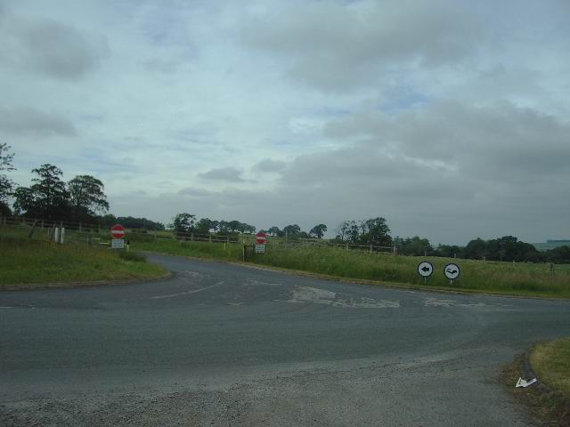
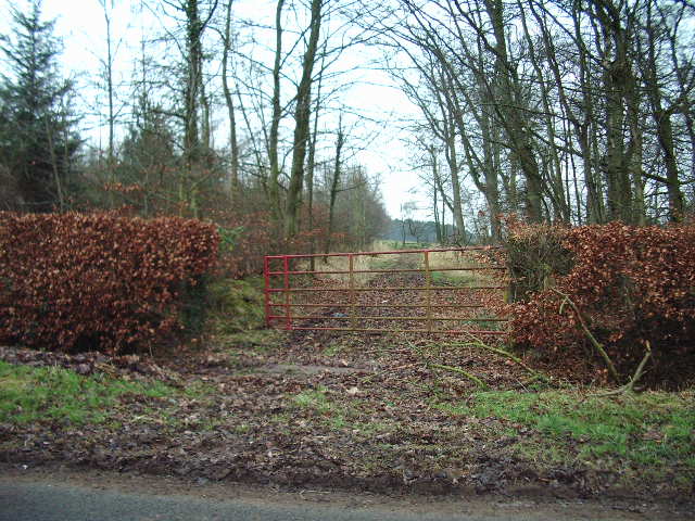
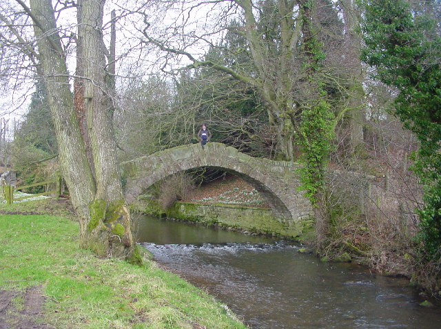
Images are sourced within 2km of 54.792707/-2.8969041 or Grid Reference NY4244. Thanks to Geograph Open Source API. All images are credited.

Ivegill Primary School
Packhorse Bridge Simply named Ivegill Bridge on maps, a local resident reckons it's "donkeys years" old...
Packhorse Bridge
Simply named Ivegill Bridge on maps, a local resident reckons it's "donkeys years" old...
Small Bridge and Small Beck
Coppice Nook
Coppice Nook
Thackwood Farm
Thackwood Farm
The Road to Stone Faulds The small wood at the side of the entrance had been partially cleared and the fencing renewed.
The Road to Stone Faulds
The small wood at the side of the entrance had been partially cleared and the fencing renewed.
The back door to Souththwaite Motorway services An impressive areay of gates, signs etc to discourage you from taking a short cut onto the northbound side of the M6
The back door to Souththwaite Motorway services
An impressive areay of gates, signs etc to discourage you from taking a short cut onto the northbound side of the M6
Breaking the law to sleep It would seem that you are allowed to break the law on "No Entry" if you have booked a room at the motel and you are travelling north, because the motel is on the southbound side of the motorway.
Breaking the law to sleep
It would seem that you are allowed to break the law on "No Entry" if you have booked a room at the motel and you are travelling north, because the motel is on the southbound side of the motorway.
Red gate Short access road through the wood to the farmland beyond
Red gate
Short access road through the wood to the farmland beyond
Meadow View The minor road to the left goes to Stockwathdale.
Meadow View
The minor road to the left goes to Stockwathdale.
Picnic area Southwaite service station Picnic area next to Southwaite service station car park on the northbound side the M6
Picnic area Southwaite service station
Picnic area next to Southwaite service station car park on the northbound side the M6
View across High Head Sculpture Valley A popular attraction created by sculptor Jonathan Stamper on his dairy farm, in the valley of the River Ive. More information available at the High Head website : <span class="nowrap"><a title="http://highheadsculpturevalley.co.uk/index.htm" rel="nofollow ugc noopener" href="http://highheadsculpturevalley.co.uk/index.htm">Link</a><img style="margin-left:2px;" alt="External link" title="External link - shift click to open in new window" src="https://s1.geograph.org.uk/img/external.png" width="10" height="10"/></span>
View across High Head Sculpture Valley
A popular attraction created by sculptor Jonathan Stamper on his dairy farm, in the valley of the River Ive. More information available at the High Head website : LinkExternal link
High Head Farm Not just a farm here, also an excellent contemporary art gallery, tearoom, farm shop and sculpture park. <span class="nowrap"><a title="http://highheadsculpturevalley.co.uk/index.htm" rel="nofollow ugc noopener" href="http://highheadsculpturevalley.co.uk/index.htm">Link</a><img style="margin-left:2px;" alt="External link" title="External link - shift click to open in new window" src="https://s1.geograph.org.uk/img/external.png" width="10" height="10"/></span>
High Head Farm
Not just a farm here, also an excellent contemporary art gallery, tearoom, farm shop and sculpture park. LinkExternal link
Bridge over the River Ive The bridge carries a farm track to the fields beyond. On the right is the High Head Sculpture Valley <a href="https://www.geograph.org.uk/photo/725065">NY4043 : View across High Head Sculpture Valley</a>.
Bridge over the River Ive
The bridge carries a farm track to the fields beyond. On the right is the High Head Sculpture Valley NY4043 : View across High Head Sculpture Valley.
Public Footpath from Hilltop Wood Path leads to Broadfield House.
Public Footpath from Hilltop Wood
Path leads to Broadfield House.
Hilltop Farm As seen from Hilltop Wood.
Hilltop Farm
As seen from Hilltop Wood.
Pasture and plantation, Southwaite This grid-square consists of pastoral fields and a few small plantations. There are also two pylons, one of which is visible to the left.
Pasture and plantation, Southwaite
This grid-square consists of pastoral fields and a few small plantations. There are also two pylons, one of which is visible to the left.
Show me another place!

Broad Field is located at Grid Ref: NY4244 (Lat: 54.792707, Lng: -2.8969041)

Administrative County: Cumbria

District: Eden

Police Authority: Cumbria

What 3 Words

///shots.hunk.nuptials. Near Dalston, Cumbria

Nearby Locations

Broad Field Macybank Wood

Related Wikis

Ivegill

Ivegill is a small village in Cumbria, England. The village has one place of worship and a school. It is located on an unclassified road near Southwaite...
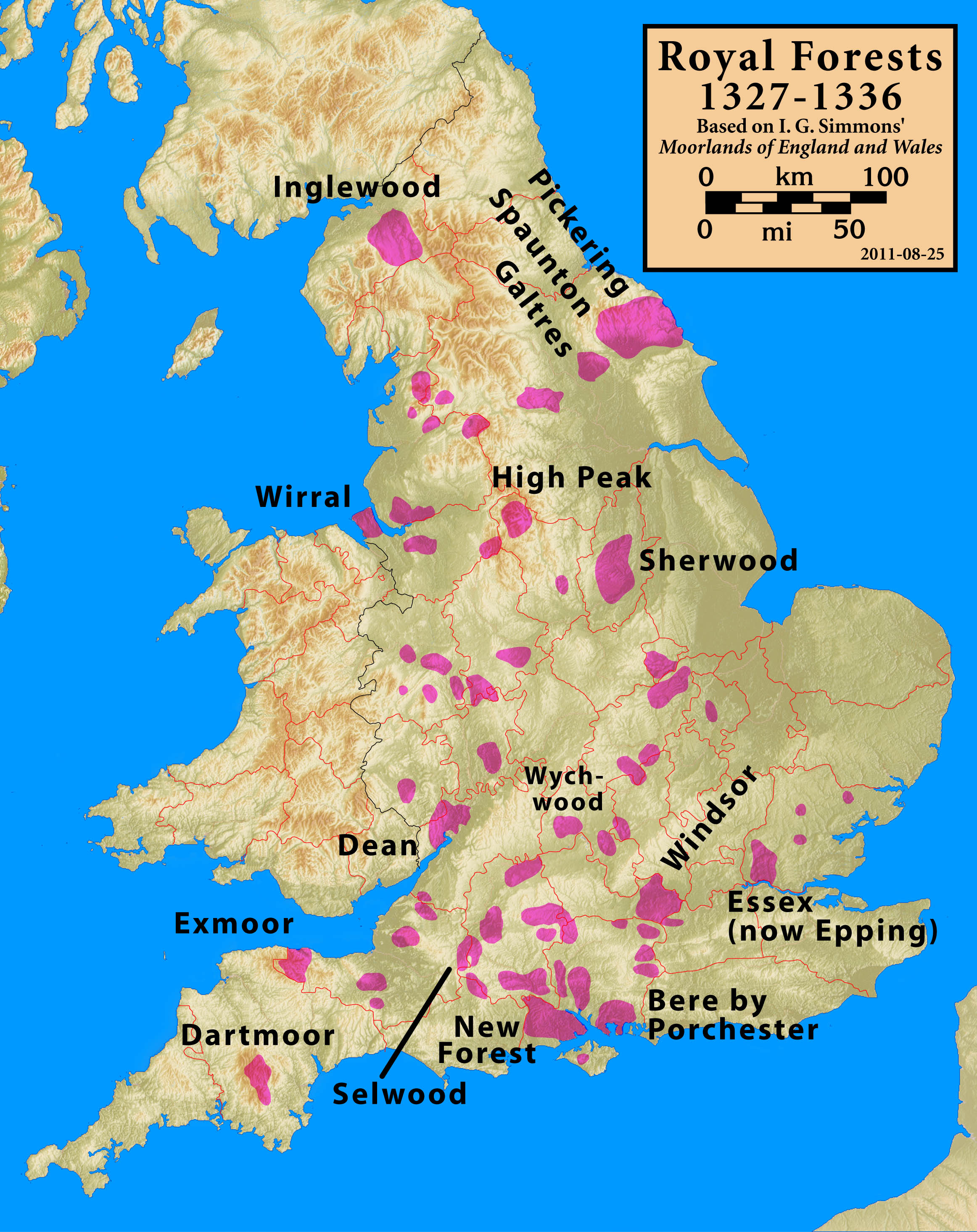
Inglewood Forest

Inglewood Forest is a large tract of mainly arable and dairy farm land with a few small woodland areas between Carlisle and Penrith in the English non...

Southwaite Services

Southwaite services is a motorway service station, between junctions 41 and 42 of the M6 motorway near Southwaite, Cumbria, England. It is about 7 miles...

High Head Castle

High Head Castle is a large fortified manor house in the English county of Cumbria. It is located between Carlisle and Penrith. The house is now largely...

Nearby Amenities

Located within 500m of 54.792707,-2.8969041
Power: tower
Lat/Long: 54.7890653/-2.8958839
Power: tower
Lat/Long: 54.7916704/-2.8974345
Power: tower
Lat/Long: 54.7938827/-2.8987514
Power: tower
Lat/Long: 54.7965052/-2.9003125
Broadfield Mound
Historic: archaeological_site
Lat/Long: 54.7921397/-2.8967922
Broad Field
Place: locality
Lat/Long: 54.793511/-2.8957348
The data included in this document is from www.openstreetmap.org. The data is made available under ODbL.

Have you been to Broad Field?

Leave your review of Broad Field below (or comments, questions and feedback).