Applethwaite Common
Downs, Moorland in Westmorland South Lakeland
England
Applethwaite Common
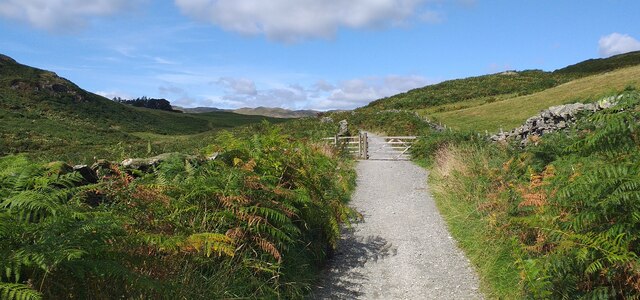
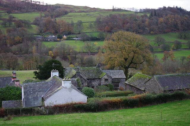
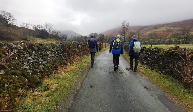
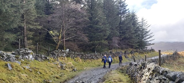
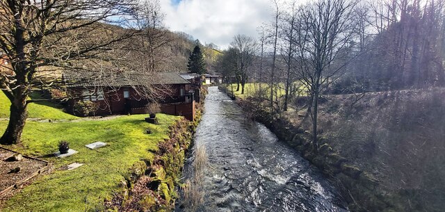
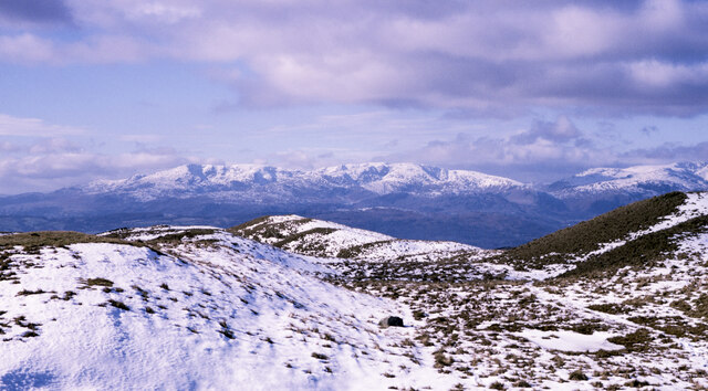
Applethwaite Common is a picturesque area located in Westmorland, a historic county in northwest England. Situated amidst rolling hills, this common is characterized by its expansive downs and moorland, creating a diverse landscape that attracts nature enthusiasts and outdoor adventurers alike.
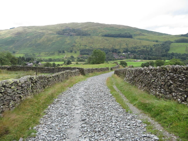
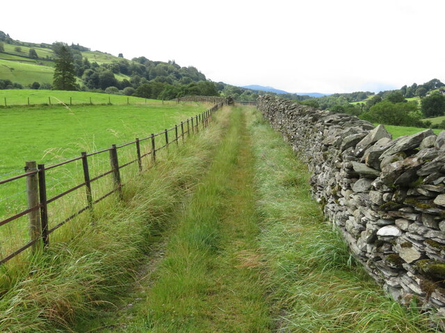
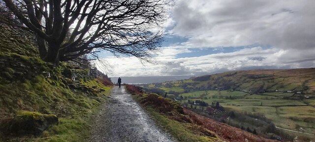
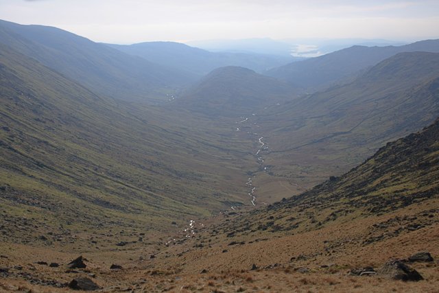
Covering an approximate area of over 500 acres, Applethwaite Common offers stunning views of the surrounding countryside, with its undulating terrain stretching as far as the eye can see. The downs, with their gently sloping hills, are adorned with lush green grasses and scattered patches of colorful wildflowers during the warmer months. This creates a vibrant and idyllic setting for walking, picnicking, and enjoying the tranquility of nature.
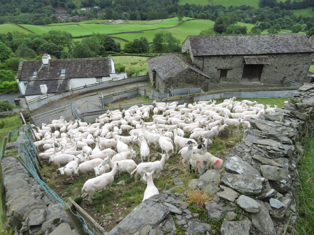
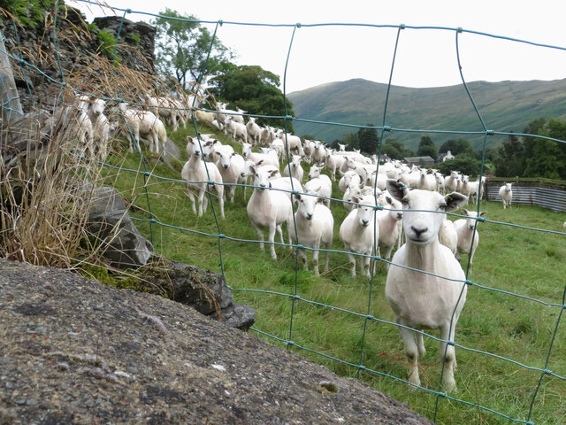
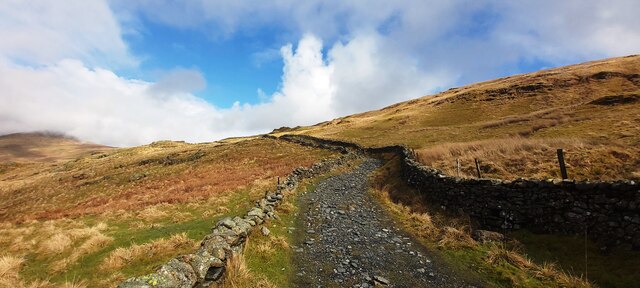
In contrast, the moorland section of Applethwaite Common offers a more rugged and untamed atmosphere. Here, one can find heather-covered landscapes, rocky outcrops, and small streams meandering through the terrain. This attracts hikers, birdwatchers, and those seeking a sense of adventure. The moorland is home to a variety of wildlife, including red deer, foxes, and numerous bird species, providing ample opportunities for nature enthusiasts to observe and appreciate the local biodiversity.
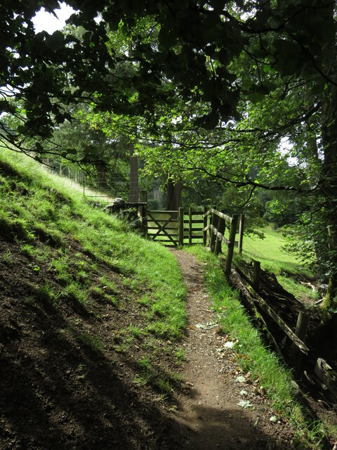
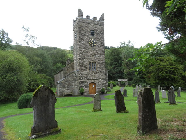
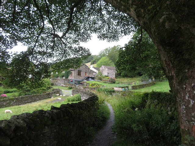
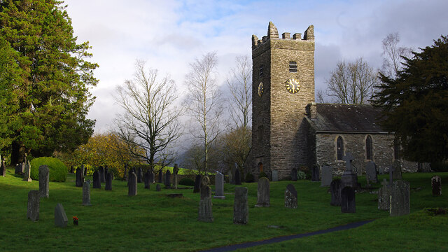
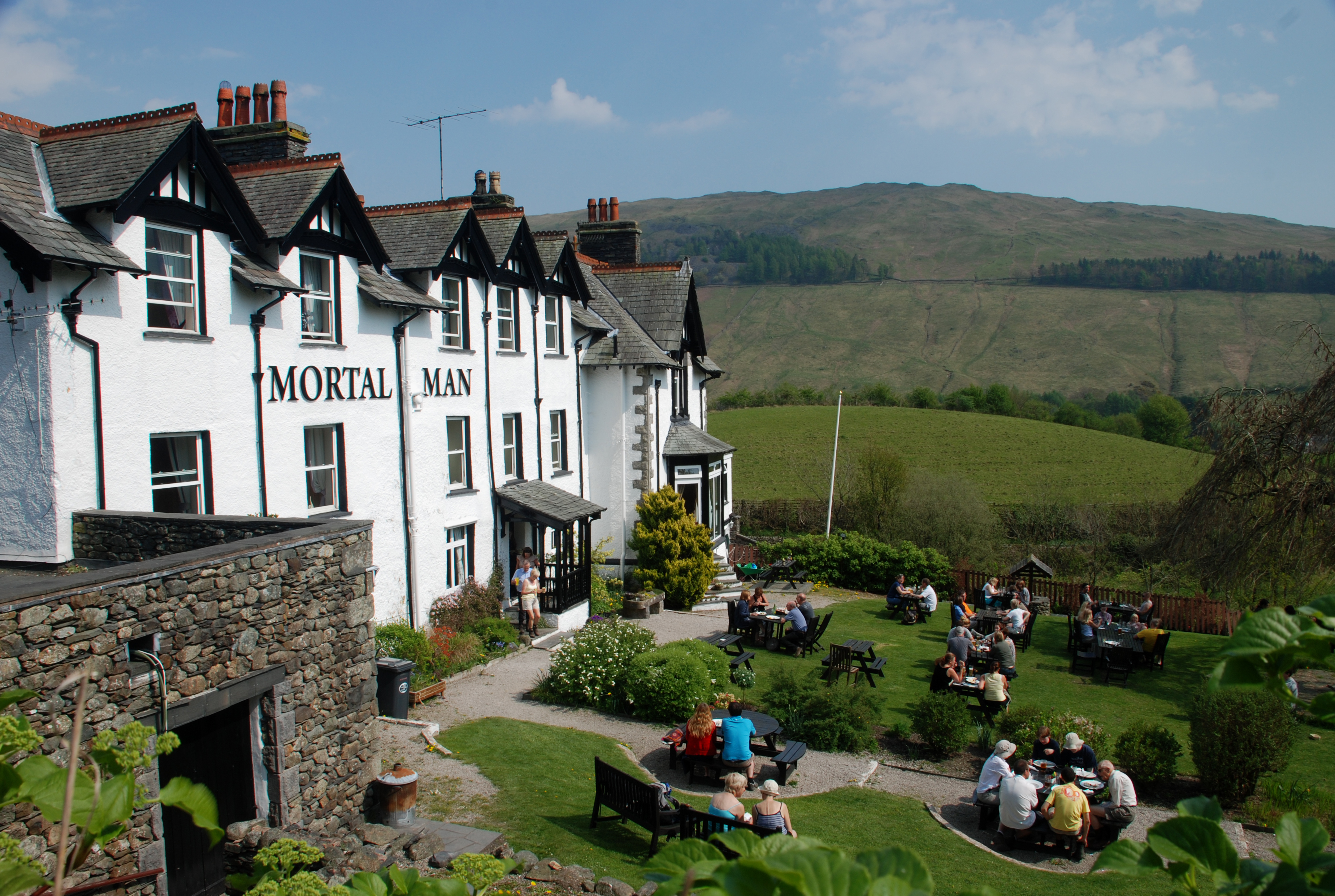
Applethwaite Common is easily accessible, with several footpaths and trails crisscrossing the area, allowing visitors to explore its natural beauty at their own pace. The common is also surrounded by charming villages and towns, offering visitors the chance to experience the local culture and hospitality.
Overall, Applethwaite Common in Westmorland is a haven for nature lovers, offering a diverse and captivating landscape that showcases the beauty of the English countryside.
If you have any feedback on the listing, please let us know in the comments section below.
Applethwaite Common Images
Images are sourced within 2km of 54.416948/-2.8895113 or Grid Reference NY4202. Thanks to Geograph Open Source API. All images are credited.
Applethwaite Common is located at Grid Ref: NY4202 (Lat: 54.416948, Lng: -2.8895113)
Administrative County: Cumbria
District: South Lakeland
Police Authority: Cumbria
What 3 Words
///outright.deliver.forensic. Near Windermere, Cumbria
Nearby Locations
Related Wikis

Sour Howes
Sour Howes is a small fell in the English Lake District. It is situated five kilometres east of Ambleside, between the Troutbeck and Kentmere valleys and...

Jesus Church, Troutbeck
Jesus Church is in the village of Troutbeck in the Lake District, Cumbria, England. It is an active Anglican parish church in the deanery of Windermere...
Trout Beck
The Trout Beck is a fast flowing stream of the Lake District in North West England. It is one of the main sources of replenishment for Windermere, and...
Troutbeck, Lakes
Troutbeck is a village and former civil parish, now in the parish of Lakes, in Westmorland and Furness unitary authority in the ceremonial county of...
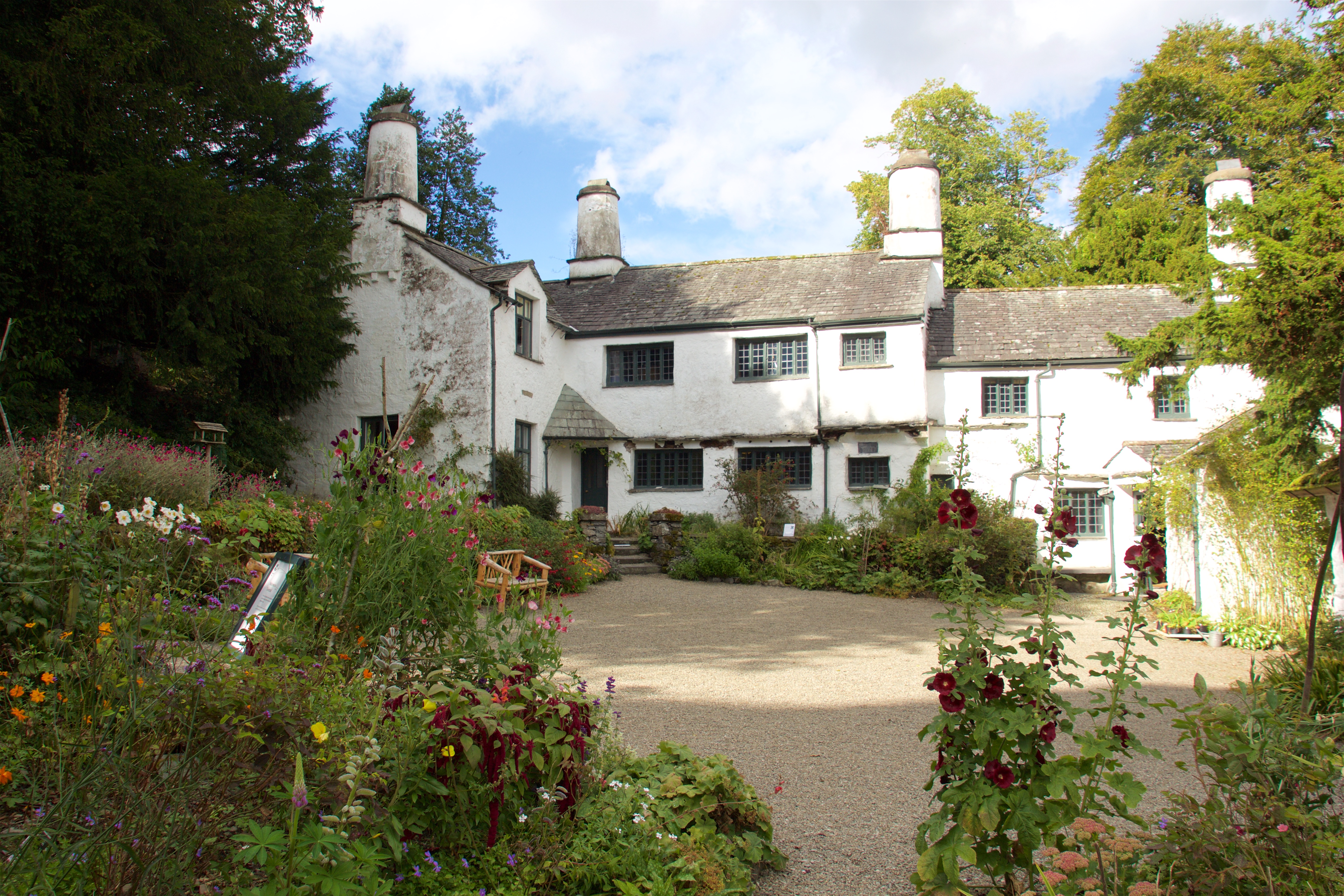
Townend
Townend is a 17th-century house located in Troutbeck, in the civil parish of Lakes, near Windermere, Cumbria, England, and in the ownership of the National...

Sallows
Sallows is a fell in the English Lake District, rising between the valleys of Kentmere and Troutbeck. It is the highest point in the upland area to the...

Holehird Gardens
Holehird Gardens is an extensive 10-acre site located near Windermere, Cumbria, England. It is the home of the Lakeland Horticultural Society. The garden...

Troutbeck Park
Troutbeck Park is a farm to the north of Troutbeck village in South Lakeland, Cumbria. In 1923, there was a risk of it being sold for development, so...
Nearby Amenities
Located within 500m of 54.416948,-2.8895113Have you been to Applethwaite Common?
Leave your review of Applethwaite Common below (or comments, questions and feedback).