West Field

Downs, Moorland in Somerset South Somerset

England

West Field

High Ham: Paradise Mill Watermill, disused, in a parish which in earlier centuries had several windmills. With miller's cottage attached. Paradise Mill may have served the villagers of nearby Wearne
High Ham: Paradise Mill Credit: Martin Bodman

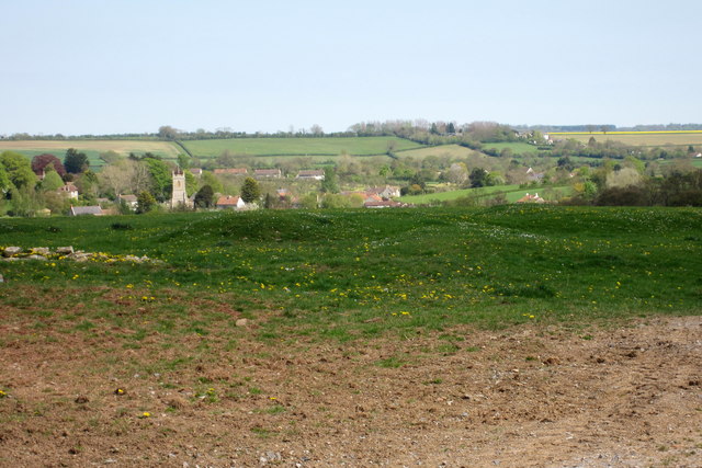
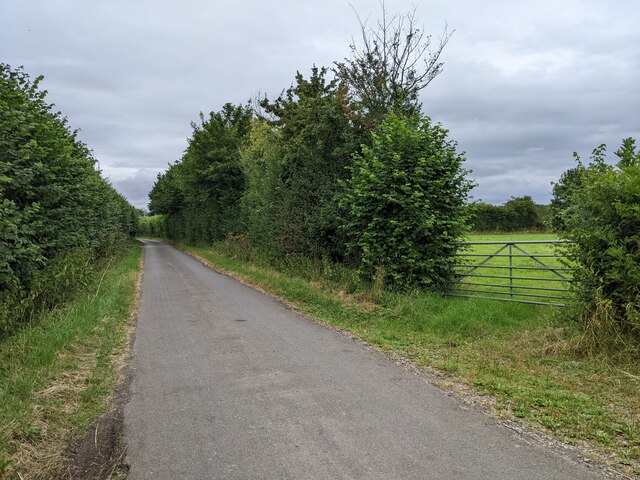
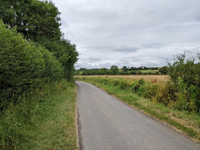
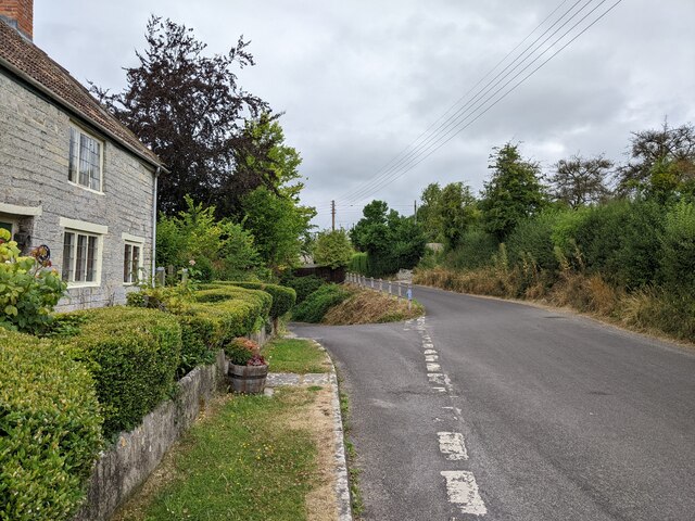
West Field is a picturesque rural area located in Somerset, a county in South West England. It is characterized by its diverse landscape, encompassing downs and moorland. Stretching across a considerable area, West Field offers stunning views of rolling hills, lush meadows, and open fields, making it a popular destination for nature enthusiasts and hikers.

The downs in West Field are marked by their undulating hills and vast grasslands. These areas provide a habitat for a variety of flora and fauna, including wildflowers, grazing sheep, and birds of prey. The downs also offer breathtaking panoramic views of the surrounding countryside, providing visitors with a sense of tranquility and escape from the bustling urban life.

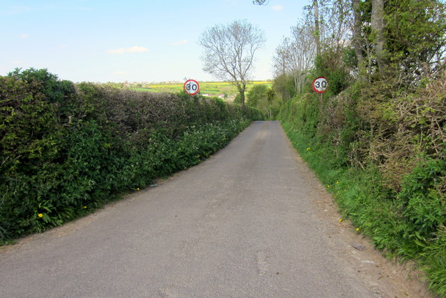
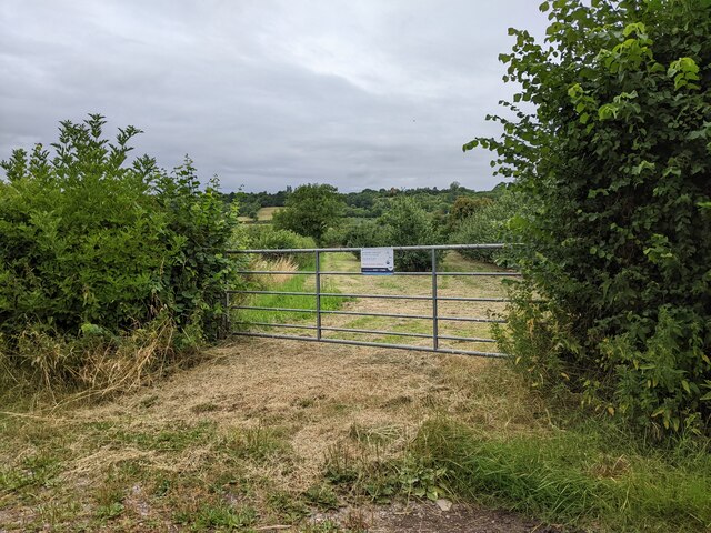
In contrast, the moorland in West Field is characterized by its rugged terrain, heather-covered hills, and scattered woodland areas. This unique landscape provides a haven for wildlife, including deer, foxes, and various bird species. The moorland is also home to several walking trails, allowing visitors to explore the area and take in its natural beauty.

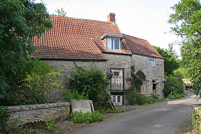
West Field is known for its rich agricultural heritage, with many farms dotting the landscape. The fertile soil allows for the cultivation of crops, including wheat, barley, and potatoes. Additionally, the area is known for its dairy farming, producing high-quality milk and cheese.

Overall, West Field, Somerset (Downs, Moorland) offers a diverse and picturesque rural experience, combining stunning natural landscapes, wildlife encounters, and a glimpse into the region's agricultural traditions.

If you have any feedback on the listing, please let us know in the comments section below.
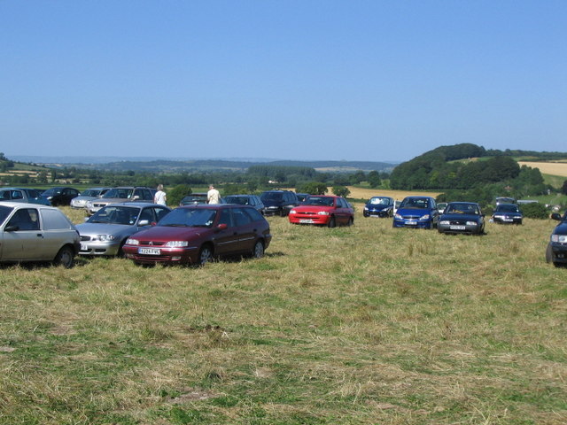
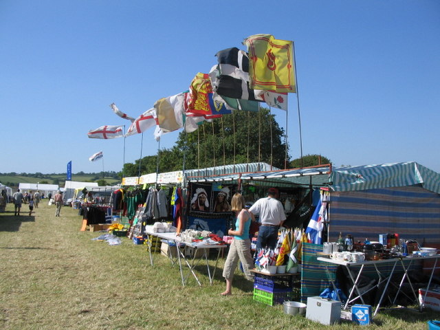
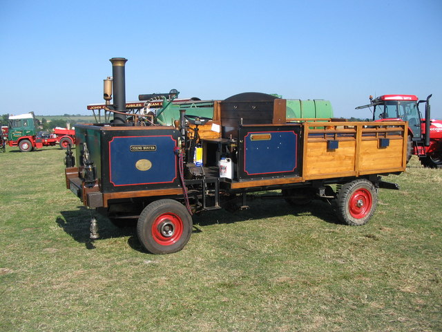
West Field Images

Images are sourced within 2km of 51.065454/-2.8277365 or Grid Reference ST4229. Thanks to Geograph Open Source API. All images are credited.

High Ham: Paradise Mill Watermill, disused, in a parish which in earlier centuries had several windmills. With miller's cottage attached. Paradise Mill may have served the villagers of nearby Wearne
High Ham: Paradise Mill
Watermill, disused, in a parish which in earlier centuries had several windmills. With miller's cottage attached. Paradise Mill may have served the villagers of nearby Wearne
Pasture with Pitney in the distance
Road to the rifle range
Lane to Low Ham
Lane to Low Ham
Gate with a warning into an orchard
Leazemoor Lane heading south-west
Leazemoor Lane heading south
House and lane in Wearne
Aller The Old Pound Inn
Aller
The Old Pound Inn
Aller Ridge Looking south westwards onto the Somerset Levels with the River Parrett in the distance
Aller Ridge
Looking south westwards onto the Somerset Levels with the River Parrett in the distance
The Church in the Field A view looking east to The Church in the Field at Low Ham.
The Church in the Field
A view looking east to The Church in the Field at Low Ham.
Hext Hill A view looking north across the parking area for the Somerset Steam Spectacular on Hext Hill. Glastonbury Tor can be seen on the horizon above the red car at centre.
Hext Hill
A view looking north across the parking area for the Somerset Steam Spectacular on Hext Hill. Glastonbury Tor can be seen on the horizon above the red car at centre.
Stalls at the Somerset Steam Spectacular A view looking to the northwest toward the display of flags on some of the stalls at the Somerset Steam Spectacular.
Stalls at the Somerset Steam Spectacular
A view looking to the northwest toward the display of flags on some of the stalls at the Somerset Steam Spectacular.
"Sawtell's Farm", Wearne, Somerset Wearne is a linear village, and this house is on the main street.  Farm buildings dominate the village.
"Sawtell's Farm", Wearne, Somerset
Wearne is a linear village, and this house is on the main street. Farm buildings dominate the village.
The shape of things to come ..... A view looking to the east towards an exhibit at the Somerset Steam Spectacular 2006 on Hext Hill. The wagon is based on a Leyland Sherpa chassis with Land Rover running gear, and is powered by a Roanoke steam engine burning wood from old packing pallets. Just the thing for when the oil runs out.
The shape of things to come .....
A view looking to the east towards an exhibit at the Somerset Steam Spectacular 2006 on Hext Hill. The wagon is based on a Leyland Sherpa chassis with Land Rover running gear, and is powered by a Roanoke steam engine burning wood from old packing pallets. Just the thing for when the oil runs out.
Wood Drove This no through road runs along the plateau above Aller Hill. Here the lane is passing Hill Farm.
Wood Drove
This no through road runs along the plateau above Aller Hill. Here the lane is passing Hill Farm.
Lane to Low Ham A little-used lane that connects Field Road to the lane through Low Ham, and which continues the line of Wood Road from Sam's Cross to the west. Beyond the valley of Leazemoor is Pitney Wood on the steep northern slopes of Woodbirds Hill.
Lane to Low Ham
A little-used lane that connects Field Road to the lane through Low Ham, and which continues the line of Wood Road from Sam's Cross to the west. Beyond the valley of Leazemoor is Pitney Wood on the steep northern slopes of Woodbirds Hill.
A372 between Coombe and Aller nr Langport Somerset
Show me another place!

West Field is located at Grid Ref: ST4229 (Lat: 51.065454, Lng: -2.8277365)

Administrative County: Somerset

District: South Somerset

Police Authority: Avon and Somerset

What 3 Words

///folds.breathing.parrot. Near Langport, Somerset

Related Wikis

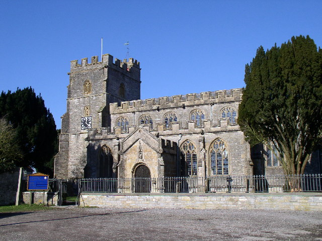
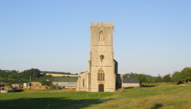
St Andrew's Church, High Ham

The Church of Saint Andrew is an Anglican parish church located on Turnhill Road, in High Ham, Somerset, England. It shows evidence of 12th- and 14th...

Low Ham

Low Ham is a village in the civil parish of High Ham in the English county of Somerset. At the time of the Domesday Book Low Ham was part of the estate...

High Ham

High Ham is a village and civil parish in Somerset, England. Within the parish of High Ham, there are the villages of High Ham and Low Ham and the hamlets...

Stembridge Mill, High Ham

Stembridge Tower Mill in High Ham, Somerset, England, is the last remaining thatched windmill in England. The mill is a grade II* listed building. The...

Nearby Amenities

Located within 500m of 51.065454,-2.8277365
Roman Villa
Historic: archaeological_site
Lat/Long: 51.0617219/-2.8262563
The data included in this document is from www.openstreetmap.org. The data is made available under ODbL.

Have you been to West Field?

Leave your review of West Field below (or comments, questions and feedback).