Perry Moor
Downs, Moorland in Somerset South Somerset
England
Perry Moor
Perry Moor, Somerset is a picturesque area located in the southwest region of England. Known for its beautiful downs and moorland landscapes, it offers visitors a unique and tranquil experience.
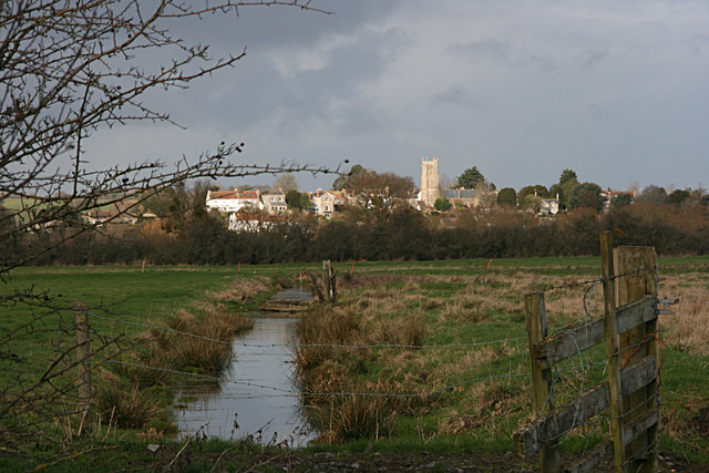
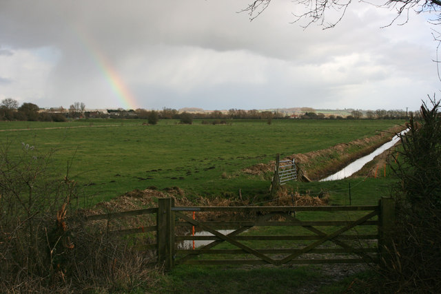
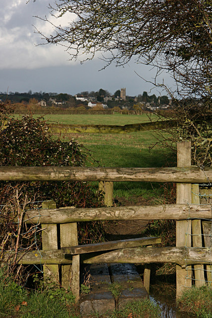
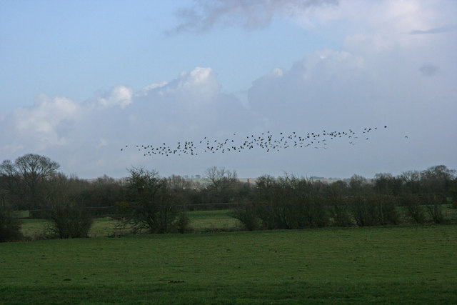
The moorland of Perry Moor is characterized by its vast expanses of open grassland, dotted with patches of heather and gorse. This creates a stunning contrast of colors, particularly during the summer months when the heather blooms and blankets the moor with vibrant shades of purple. The moorland is also home to a variety of wildlife, including birds such as skylarks and curlews, as well as rabbits and the occasional deer.
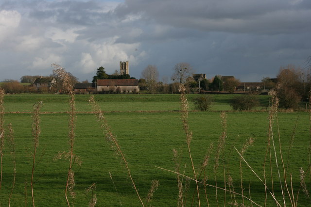
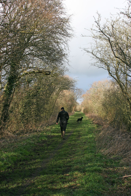
Adjacent to the moorland are the downs of Perry Moor, which are rolling hills covered in lush green grass. These downs provide sweeping views of the surrounding countryside, with their highest points offering breathtaking vistas of the Somerset Levels and the Mendip Hills in the distance. The downs are popular among hikers and walkers, who can explore the numerous footpaths and trails that crisscross the area.
Perry Moor, Somerset is a haven for nature lovers and outdoor enthusiasts. Its untouched beauty and peaceful atmosphere make it an ideal destination for those seeking a break from the hustle and bustle of everyday life. Whether it's a leisurely stroll across the moorland or an invigorating hike up the downs, visitors to Perry Moor are sure to be captivated by its natural charm and tranquility.
If you have any feedback on the listing, please let us know in the comments section below.
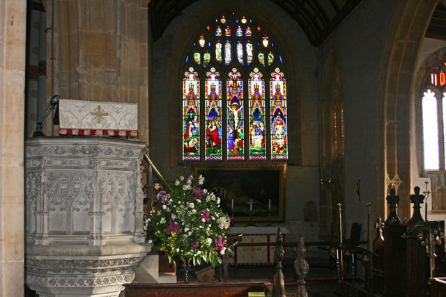
Perry Moor Images
Images are sourced within 2km of 51.02062/-2.8274366 or Grid Reference ST4224. Thanks to Geograph Open Source API. All images are credited.

Perry Moor is located at Grid Ref: ST4224 (Lat: 51.02062, Lng: -2.8274366)
Administrative County: Somerset
District: South Somerset
Police Authority: Avon and Somerset
What 3 Words
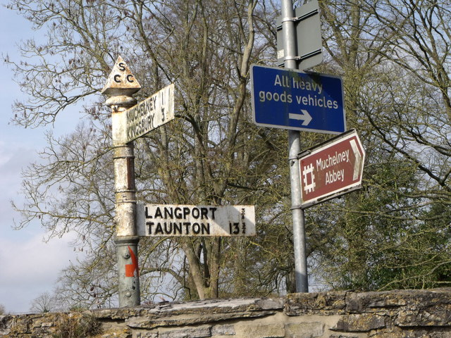
///clubbing.legroom.material. Near Langport, Somerset
Nearby Locations
Related Wikis
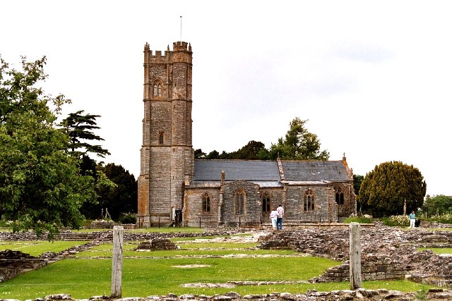
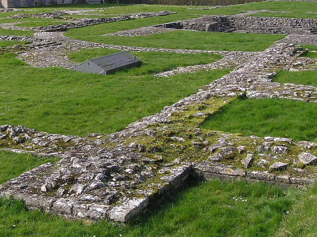
Muchelney Abbey
Muchelney Abbey is an English Heritage property in the village of Muchelney in the Somerset Levels, England. The site consists of ruined walls showing...
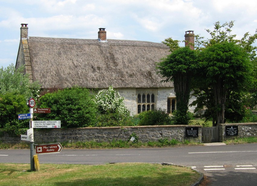
The Priest's House, Muchelney
The Priest's House is a National Trust-owned property in Muchelney, in the English county of Somerset. It has been designated as a grade II listed building...

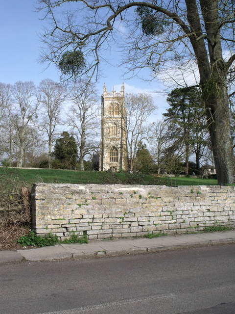
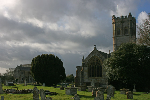
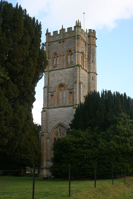
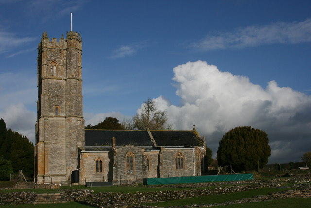
Church of St Peter and St Paul, Muchelney
The Church of St Peter and St Paul in Muchelney, Somerset, England, has Saxon origins, however the current building largely dates from the 15th century...
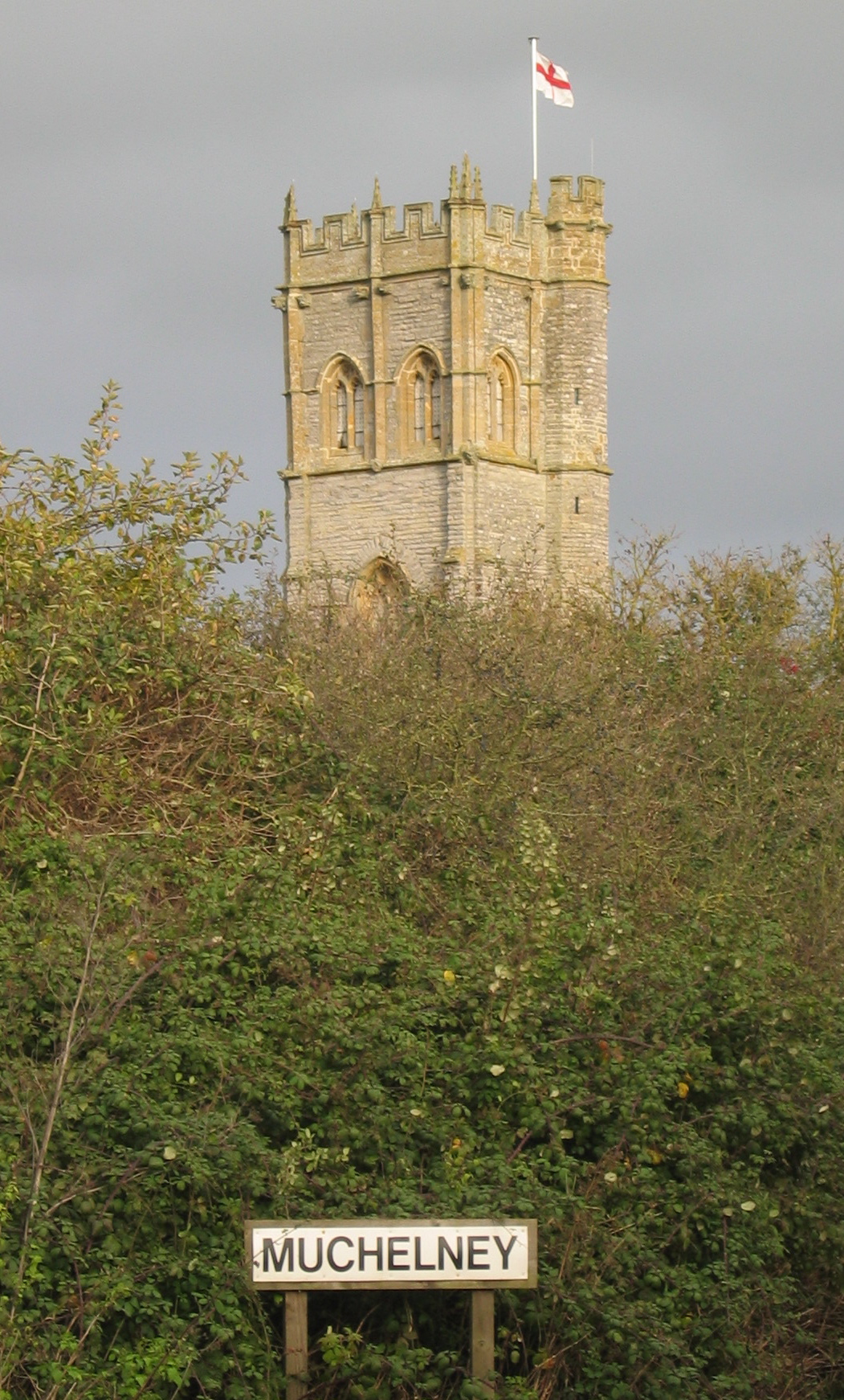
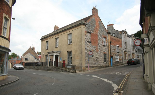
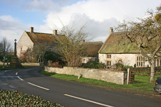
Muchelney
Muchelney () is a clustered village and civil parish in Somerset, England, extending for 3 kilometres (1.9 mi) from the south bank of the River Parrett...

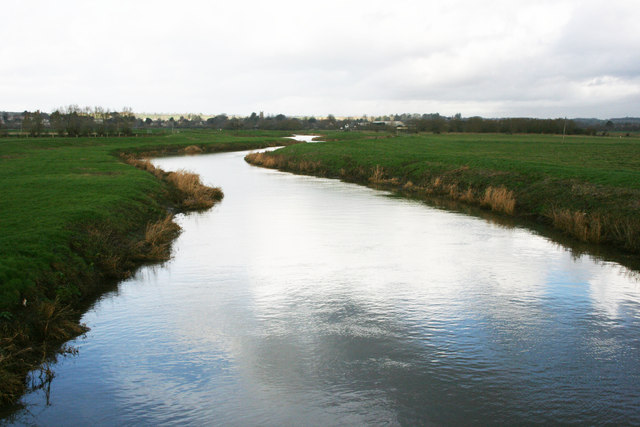
River Yeo (South Somerset)
The River Yeo, also known as the River Ivel, is a tributary of the River Parrett in north Dorset and south Somerset, England. The river's names derive...

River Isle
The River Isle (also known as the River Ile) flows from its source near Combe St Nicholas, through Somerset, England and discharges into the River Parrett...

St Catherine's Church, Drayton
The Church of St Catherine in Drayton, Somerset, England dates from the 15th century. It has been designated as a Grade I listed building.St Catherine...
Drayton, Somerset
Drayton is a village and civil parish in Somerset, England, focussed less than a mile from Curry Rivel and five miles southwest of Somerton in the South...
Nearby Amenities
Located within 500m of 51.02062,-2.8274366Have you been to Perry Moor?
Leave your review of Perry Moor below (or comments, questions and feedback).