Barecroft Common
Downs, Moorland in Monmouthshire
Wales
Barecroft Common

Barecroft Common, located in Monmouthshire, is a vast expanse of untouched wilderness that showcases the natural beauty of the area. Nestled amidst the rolling hills and breathtaking landscapes of southeast Wales, this common is a haven for nature enthusiasts and outdoor adventurers alike.
Covering an area of approximately 500 acres, Barecroft Common offers a diverse range of habitats, including downs and moorland. The downs, characterized by their gently sloping grassy hills, provide an ideal grazing ground for local wildlife such as sheep and ponies. These downs also offer fantastic panoramic views of the surrounding countryside, making it a favorite spot for photographers and hikers.
Moving towards the moorland section, visitors are greeted by a more rugged and untamed environment. Here, heather, gorse, and other wildflowers dominate the landscape, painting it in vibrant hues throughout the year. This moorland is home to a variety of bird species, including buzzards, kestrels, and stonechats, making it a popular destination for birdwatchers.
Barecroft Common is not only a natural wonder but also holds historical significance. The remains of ancient settlements and burial mounds can be found scattered across the common, providing a glimpse into the area's rich cultural heritage.
Access to Barecroft Common is available through a network of footpaths and bridleways, allowing visitors to explore and appreciate the unspoiled beauty of the area. Whether it's a leisurely stroll, a horseback ride, or a picnic in the great outdoors, Barecroft Common offers an immersive and unforgettable experience for all who venture into its captivating embrace.
If you have any feedback on the listing, please let us know in the comments section below.
Barecroft Common Images
Images are sourced within 2km of 51.5771/-2.8448655 or Grid Reference ST4186. Thanks to Geograph Open Source API. All images are credited.


Barecroft Common is located at Grid Ref: ST4186 (Lat: 51.5771, Lng: -2.8448655)
Unitary Authority: Monmouthshire
Police Authority: Gwent
What 3 Words
///realm.alright.surprises. Near Magor, Monmouthshire
Nearby Locations
Related Wikis
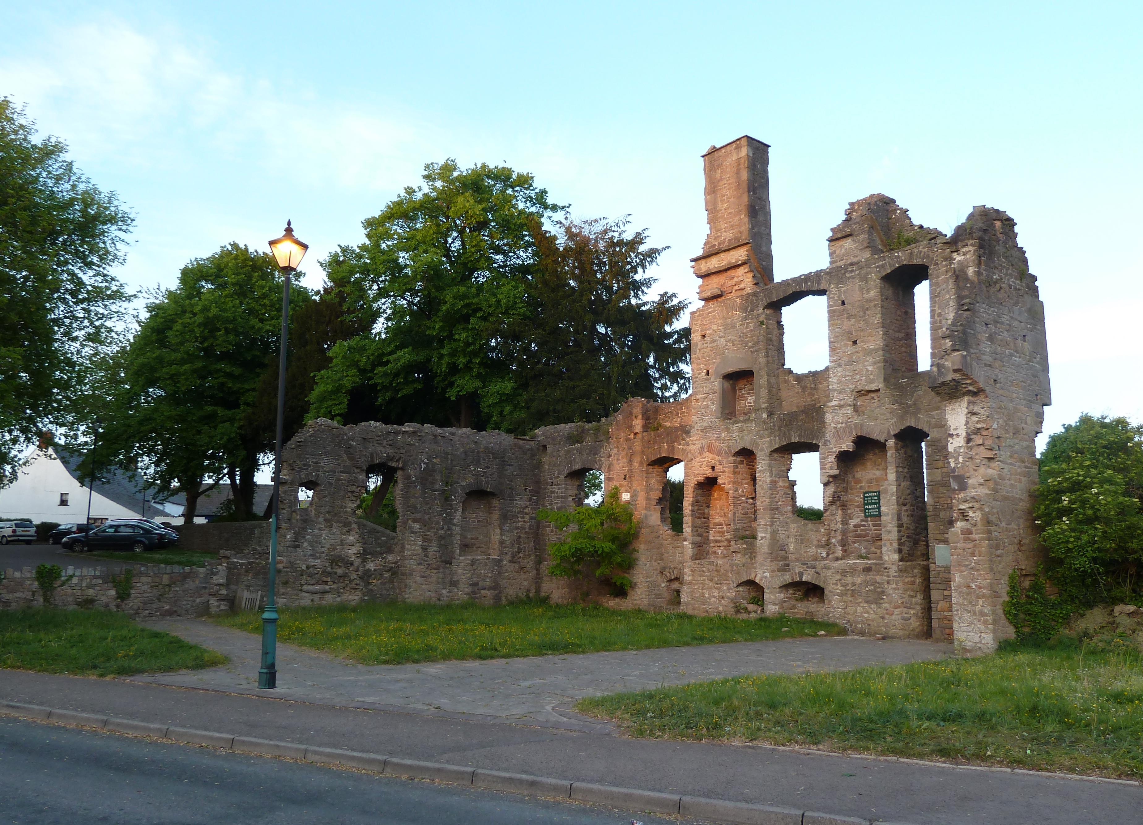
The Procurator's House, Magor
The Procurator's House in Magor, Monmouthshire, Wales, is a large, ruined mansion of the sixteenth-century, standing next to St Mary's Church in the centre...
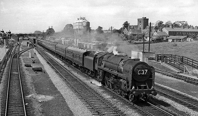
Magor railway station
Magor railway station is a former station serving Magor, Monmouthshire, east of the city of Newport and west of Caldicot. It was opened as a broad gauge...
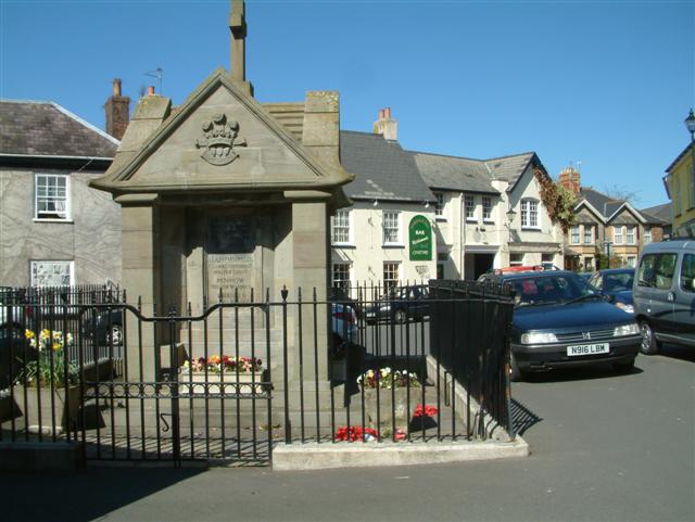
Magor, Monmouthshire
Magor (English: ; Welsh: Magwyr) is a large village in Monmouthshire, south east Wales, about 9 miles (14 km) west of Chepstow and about 9 miles (14 km...

St Mary's Church, Magor
The Church of St Mary stands in the centre of the village of Magor, Monmouthshire, Wales. It was designated a Grade I listed building in 1963. The church...

Magor Marsh
Magor Marsh is a 36-hectare (90-acre) wetland reserve, located on the Welsh side of the Severn Estuary. It is managed by the Gwent Wildlife Trust. It has...

Wilcrick
Wilcrick (Welsh: Chwilgrug) is a hamlet within the administrative boundary of the city of Newport, South Wales, just to the west of Magor and approximately...
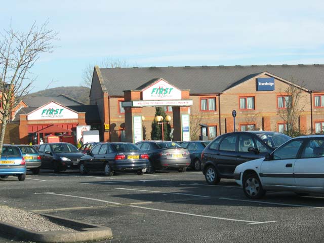
Magor services
Magor services (in Welsh: Gwasanaethau Magwyr) is a motorway service station on the M4, located just off junction 23A, at Magor near Newport, in Monmouthshire...

Magor with Undy
Magor with Undy is a community on the coast of the Severn Estuary in Monmouthshire, Wales. It includes the villages of Magor and Undy.The Magor with Undy...
Nearby Amenities
Located within 500m of 51.5771,-2.8448655Have you been to Barecroft Common?
Leave your review of Barecroft Common below (or comments, questions and feedback).