Braes o' Begarry

Downs, Moorland in Aberdeenshire

Scotland

Braes o' Begarry

Small pine tree A small pine on the summit of Craigrae Beg, Mount Keen in the background
Small pine tree Credit: Liz Gray

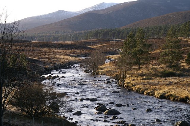
Braes o' Begarry is a picturesque area located in Aberdeenshire, Scotland. Nestled amidst the beautiful downs and moorland, it offers a stunning natural landscape that attracts visitors from far and wide.

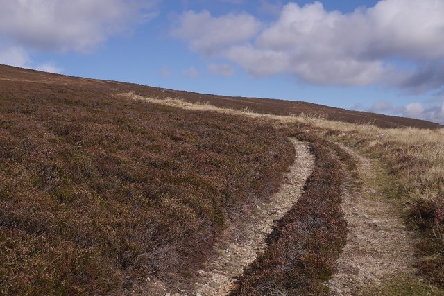
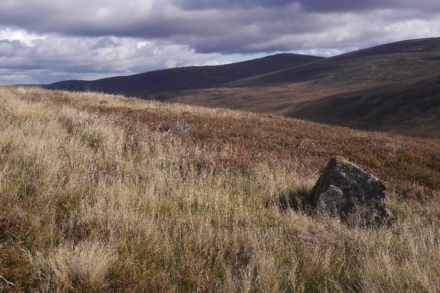
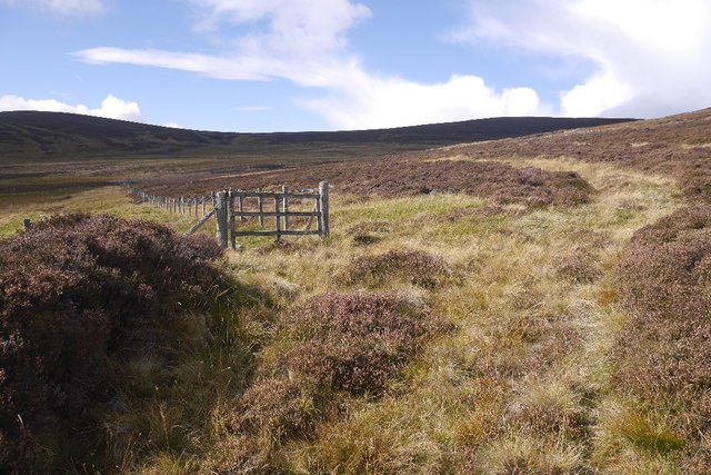
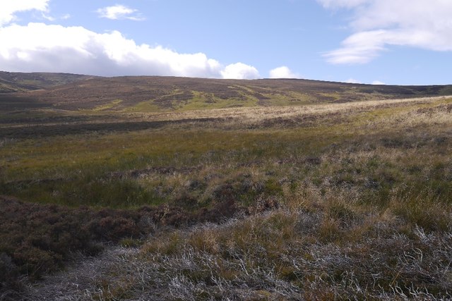
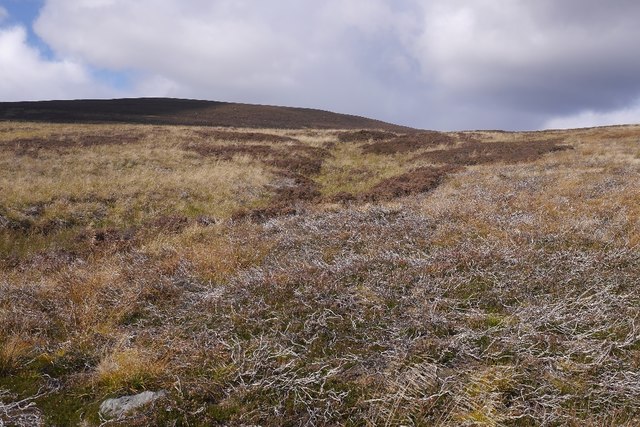
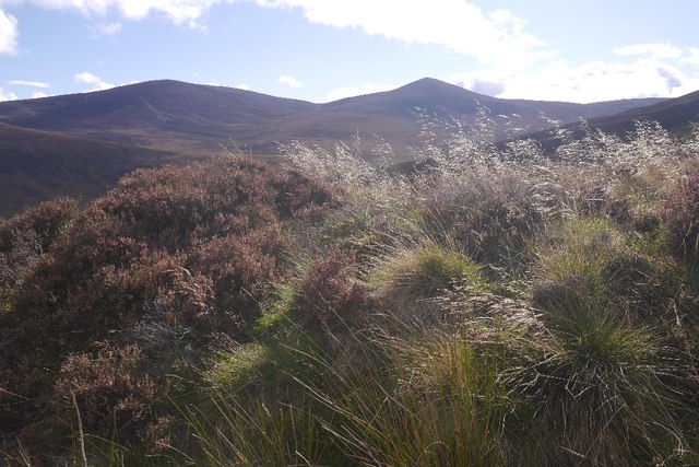
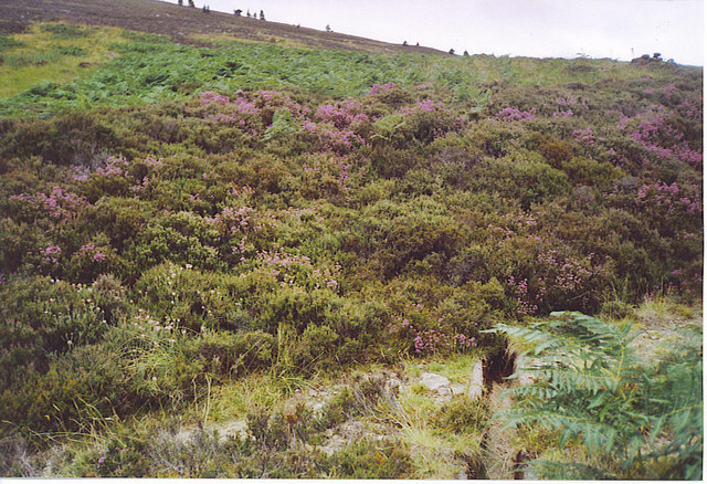
The area is known for its rolling hills and expansive moorland, which is covered in heather during the summer months, creating a vibrant purple carpet. The downs provide a gentle terrain, making it ideal for leisurely walks and hikes, allowing visitors to take in the breathtaking views of the surrounding countryside.

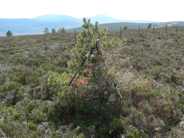
Braes o' Begarry is home to a diverse range of wildlife, including various bird species, such as pheasants and grouse, as well as small mammals like rabbits and hares. The area's rich biodiversity also extends to its plant life, with an array of wildflowers and grasses that add to its natural beauty.

In addition to its natural wonders, Braes o' Begarry boasts historical significance. The area is dotted with ancient ruins, such as stone circles and standing stones, which provide a glimpse into the region's past. These remnants of the past are a testament to the area's rich heritage and make it a fascinating destination for history enthusiasts.

Overall, Braes o' Begarry offers a serene and enchanting experience, combining the rugged beauty of the moorland with the tranquility of the downs. Whether it's exploring the natural wonders, observing the wildlife, or immersing oneself in the history of the area, Braes o' Begarry is a must-visit destination for nature lovers and history buffs alike.

If you have any feedback on the listing, please let us know in the comments section below.

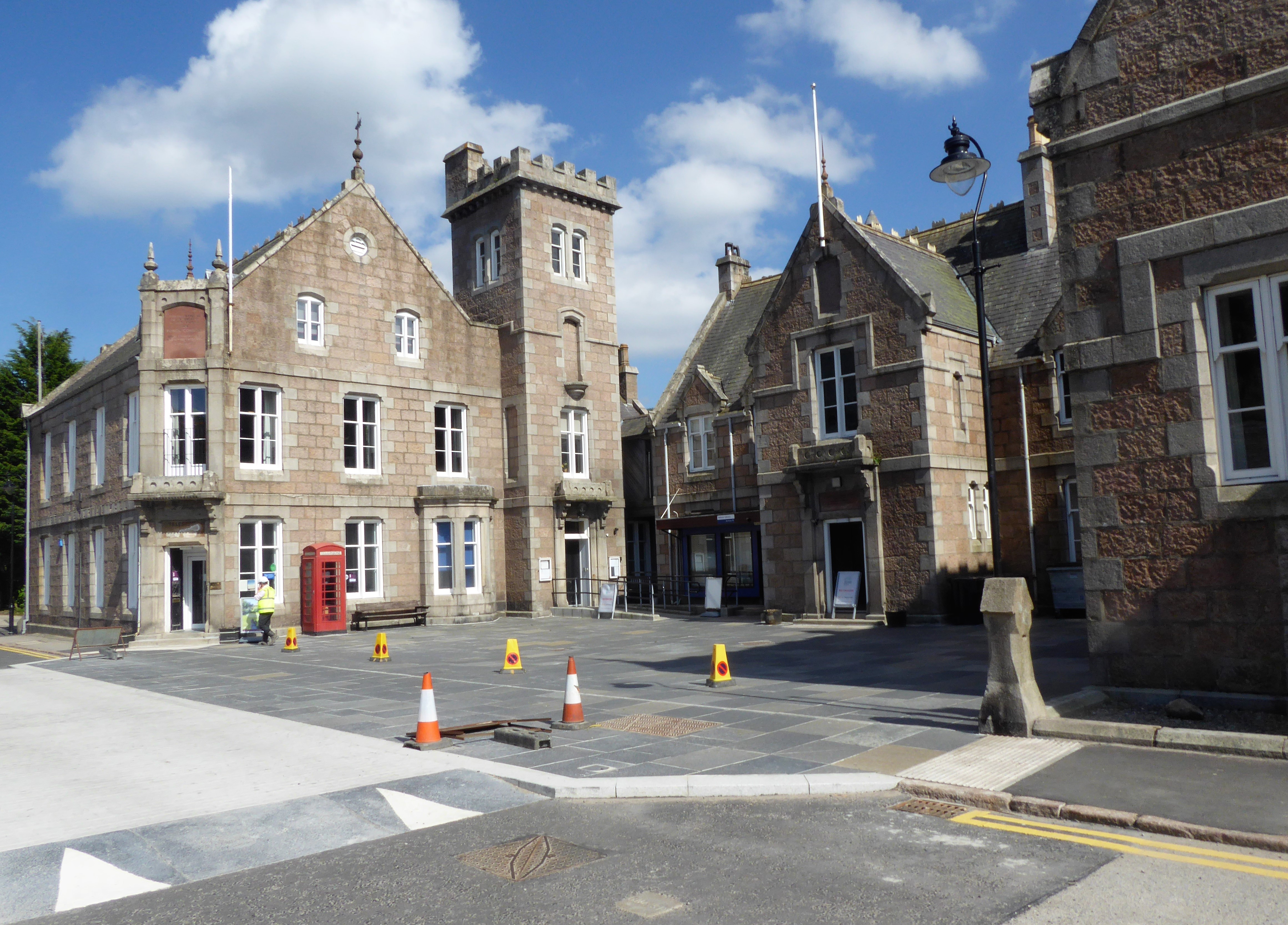
Braes o' Begarry Images

Images are sourced within 2km of 57.032626/-2.9747196 or Grid Reference NO4093. Thanks to Geograph Open Source API. All images are credited.

Small pine tree A small pine on the summit of Craigrae Beg, Mount Keen in the background
Small pine tree
A small pine on the summit of Craigrae Beg, Mount Keen in the background
Moorland track The track was not marked on the map I was using, it was mostly a narrow walking track between Black Craig & Craigrae Beg, this is the point where the track widened suggesting it is used by estate vehicles, but it does not appear to be used very often
Moorland track
The track was not marked on the map I was using, it was mostly a narrow walking track between Black Craig & Craigrae Beg, this is the point where the track widened suggesting it is used by estate vehicles, but it does not appear to be used very often
Estate tracks This is the estate road from Greystone to Etnach.  The drystane pillar is missing its National Nature Reserve information board.  Short heather landscape and very dry for May.
Estate tracks
This is the estate road from Greystone to Etnach. The drystane pillar is missing its National Nature Reserve information board. Short heather landscape and very dry for May.
Mountain Lochan This lochan feeding the Burn of Glendui is in the Black Moss area of the Glen Tanar estate, a stone's throw from the estate track from Greystone to Etnach.  The warning sign seems to have disappeared.
Mountain Lochan
This lochan feeding the Burn of Glendui is in the Black Moss area of the Glen Tanar estate, a stone's throw from the estate track from Greystone to Etnach. The warning sign seems to have disappeared.
Track out of Glen Tanar Climbing out of the glen over to the Dee.
Track out of Glen Tanar
Climbing out of the glen over to the Dee.
A view towards Clachan Yell Looking across Glen Tanar from above Etnach.
A view towards Clachan Yell
Looking across Glen Tanar from above Etnach.
Fence corner, Glen Tanar Above Etnach.
Fence corner, Glen Tanar
Above Etnach.
Coire Meacan Southeastern side of Knockie Branar, above Glen Tanar.
Coire Meacan
Southeastern side of Knockie Branar, above Glen Tanar.
Moorland above Etnach A muirburn patch from a couple of years earlier.
Moorland above Etnach
A muirburn patch from a couple of years earlier.
Grasses and Mount Keen A tiny piece of NO4091 with heather and grasses.  Mount Keen and Braid Cairn are the background hills.
Grasses and Mount Keen
A tiny piece of NO4091 with heather and grasses. Mount Keen and Braid Cairn are the background hills.
Moorland above Etnach The Ballater branch of the Mount Keen road crosses the distant hillside, above Glen Tanar.
Moorland above Etnach
The Ballater branch of the Mount Keen road crosses the distant hillside, above Glen Tanar.
The Rocking Stone Field settlements were located nearby which my give some significants to the stone
The Rocking Stone
Field settlements were located nearby which my give some significants to the stone
Shooting Butt above Ballaterach This round drystone nearly completed circle is used in the shooting season. Grouse are stocked on the heather moors and deer are also found here. August 12th is the "Glorious Twelfth" - though not for the birds!
Shooting Butt above Ballaterach
This round drystone nearly completed circle is used in the shooting season. Grouse are stocked on the heather moors and deer are also found here. August 12th is the "Glorious Twelfth" - though not for the birds!
Heather Moorland above Ballaterach July and the heather is beginning to bloom above Deeside. Sportsmen use the moor for deer stalking and grouse shooting.
Heather Moorland above Ballaterach
July and the heather is beginning to bloom above Deeside. Sportsmen use the moor for deer stalking and grouse shooting.
Black Moss This lochan at the head of the Burn of Glendui sits in the boggy Black Moss. The sign bans swimmers - deep water!
Black Moss
This lochan at the head of the Burn of Glendui sits in the boggy Black Moss. The sign bans swimmers - deep water!
Heather in Bloom above Ballaterach Deeside hills are covered in blooming heather in summer - in a variety of purples, and sometimes white too. The path leads down to Greystone.
Heather in Bloom above Ballaterach
Deeside hills are covered in blooming heather in summer - in a variety of purples, and sometimes white too. The path leads down to Greystone.
Craigrae Beg A mix of bracken and heather cover the lower hillsides of this Deeside hill. The path in the foreground is crossed by a small drainage runnel.
Craigrae Beg
A mix of bracken and heather cover the lower hillsides of this Deeside hill. The path in the foreground is crossed by a small drainage runnel.
Burn in Coire of Corn Arn
Show me another place!

Braes o' Begarry is located at Grid Ref: NO4093 (Lat: 57.032626, Lng: -2.9747196)

Unitary Authority: Aberdeenshire

Police Authority: North East

What 3 Words

///stunts.practical.voice. Near Ballater, Aberdeenshire

Nearby Locations

Braes o' Begarry

Related Wikis

Have you been to Braes o' Begarry?

Leave your review of Braes o' Begarry below (or comments, questions and feedback).