Halmer End

Settlement in Staffordshire Newcastle-under-Lyme

England

Halmer End

Bridge over the Audley Branch Line Bridge over the North Staffordshire Railway (NSR) Audley branch line. 
The line was opened 1870 and closed in 1962.
Bridge over the Audley Branch Line Credit: Brian Deegan

Halmer End is a small village located in the county of Staffordshire, England. It is situated in the borough of Newcastle-under-Lyme, approximately 6 miles northwest of Stoke-on-Trent. With a population of around 1,000 residents, the village is known for its close-knit community and charming rural atmosphere.

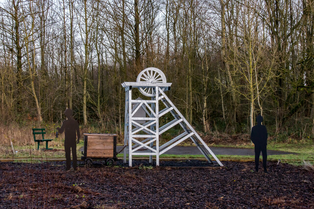
The village of Halmer End has a rich industrial heritage, primarily associated with coal mining. In the 19th and early 20th centuries, the area experienced significant growth due to the presence of coal seams. Several collieries were established, providing employment opportunities for the local population. However, the decline of the coal mining industry in the mid-20th century led to the closure of these mines, resulting in a shift towards other economic activities.

Today, Halmer End retains some remnants of its mining past, with the Minnie Pit Memorial Garden commemorating the 1918 disaster that claimed the lives of 156 miners. The village also has a Methodist chapel, which has been an integral part of the community since its construction in the early 19th century.

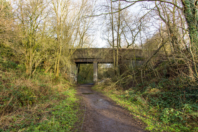
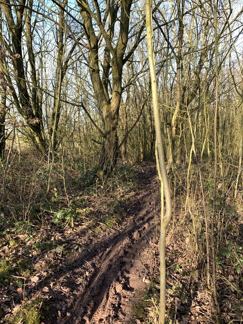
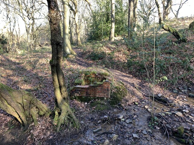
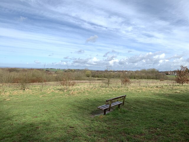
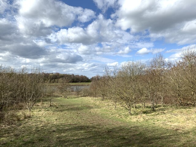
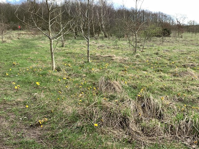
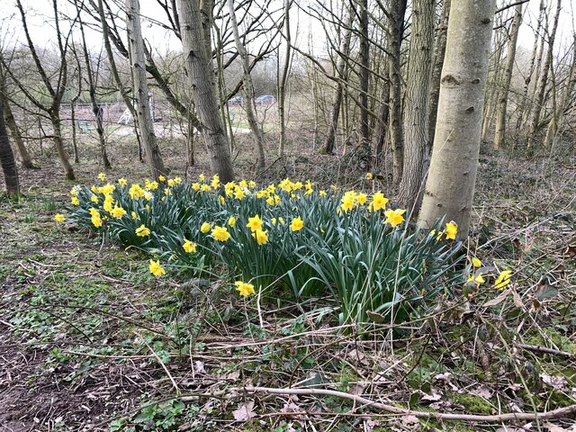
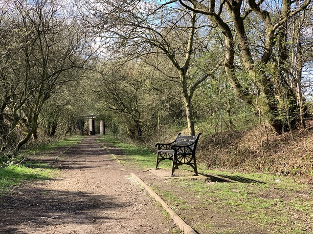
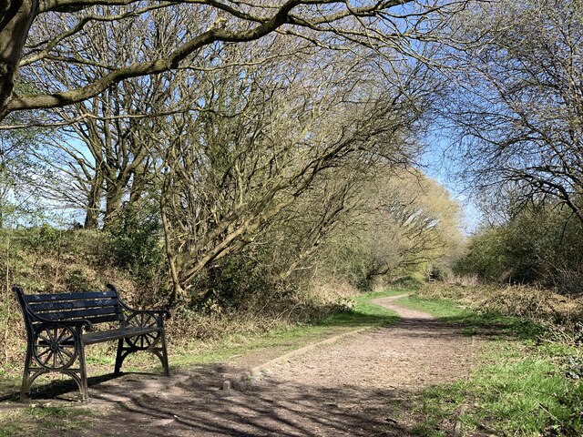
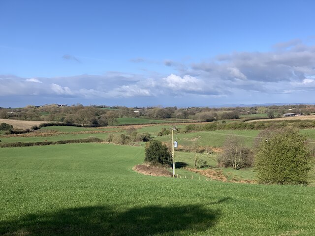
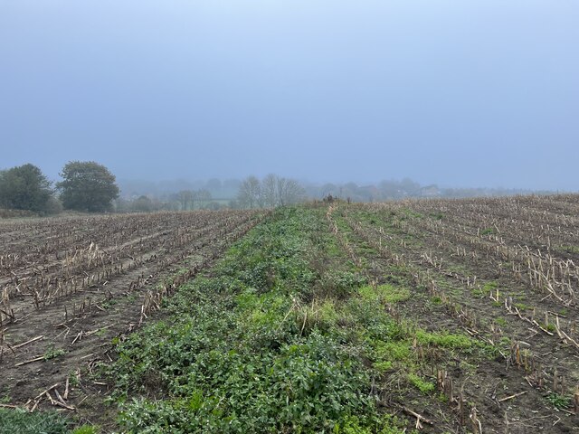
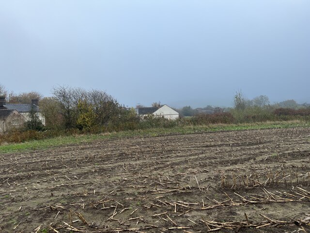
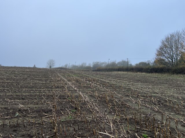
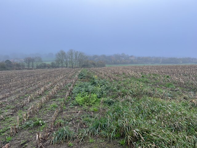
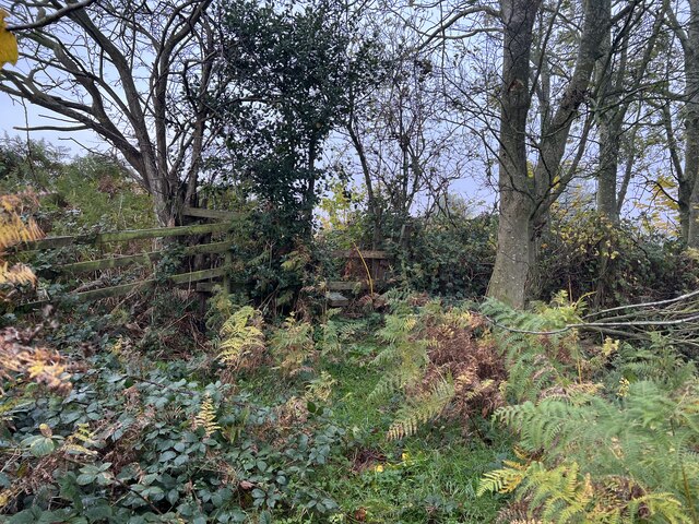
Surrounded by picturesque countryside, Halmer End offers opportunities for outdoor activities such as walking and cycling. The village is located close to the Staffordshire Moorlands and the Peak District National Park, providing easy access to stunning natural landscapes.

Halmer End benefits from good transport links, with nearby road connections to Stoke-on-Trent, Newcastle-under-Lyme, and other surrounding towns. The village also has a local bus service, ensuring convenient access to amenities and services.

Overall, Halmer End is a peaceful and historical village, offering a charming escape from the hustle and bustle of city life.

If you have any feedback on the listing, please let us know in the comments section below.
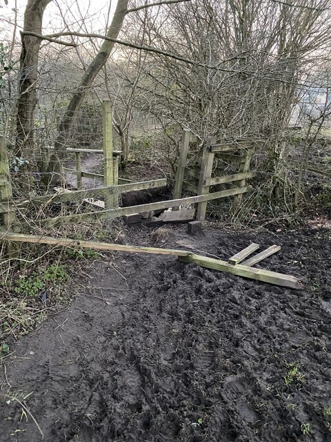
Halmer End Images

Images are sourced within 2km of 53.039747/-2.30795 or Grid Reference SJ7949. Thanks to Geograph Open Source API. All images are credited.

Bridge over the Audley Branch Line Bridge over the North Staffordshire Railway (NSR) Audley branch line. 
The line was opened 1870 and closed in 1962.
Bridge over the Audley Branch Line
Bridge over the North Staffordshire Railway (NSR) Audley branch line. The line was opened 1870 and closed in 1962.
Minnie Pit Disaster (1918) Heritage site The Minnie Pit disaster was a coal mining accident that took place on 12 January 1918 in Halmer End, Staffordshire, in which 155 men and boys died. The disaster, which was caused by an explosion due to firedamp, is the worst ever recorded in the North Staffordshire Coalfield.

<span class="nowrap"><a title="https://en.wikipedia.org/wiki/Minnie_Pit_Disaster" rel="nofollow ugc noopener" href="https://en.wikipedia.org/wiki/Minnie_Pit_Disaster">Link</a><img style="margin-left:2px;" alt="External link" title="External link - shift click to open in new window" src="https://s1.geograph.org.uk/img/external.png" width="10" height="10"/></span>
Minnie Pit Disaster (1918) Heritage site
The Minnie Pit disaster was a coal mining accident that took place on 12 January 1918 in Halmer End, Staffordshire, in which 155 men and boys died. The disaster, which was caused by an explosion due to firedamp, is the worst ever recorded in the North Staffordshire Coalfield. LinkExternal link
M6 Northbound near Red Hall Farm The M6 motorway runs from junction 19 of the M1 at the Catthorpe Interchange, near Rugby to the Gretna junction (J45). Here it becomes the A74(M) and M74 which continues to Glasgow.

The M6 is the longest motorway in the United Kingdom (232 miles) and one of the busiest. It incorporates the first length of motorway opened in the UK (the Preston bypass in 1958) and forms part of a motorway "Backbone of Britain", running north-south between London and Glasgow via the industrial north of England. It is also part of the east-west route between the Midlands and the east coast ports.
M6 Northbound near Red Hall Farm
The M6 motorway runs from junction 19 of the M1 at the Catthorpe Interchange, near Rugby to the Gretna junction (J45). Here it becomes the A74(M) and M74 which continues to Glasgow. The M6 is the longest motorway in the United Kingdom (232 miles) and one of the busiest. It incorporates the first length of motorway opened in the UK (the Preston bypass in 1958) and forms part of a motorway "Backbone of Britain", running north-south between London and Glasgow via the industrial north of England. It is also part of the east-west route between the Midlands and the east coast ports.
Rutted path in Bates Wood The deep ruts are caused by cycle wheels. The path is designated Audley FP 110.
Rutted path in Bates Wood
The deep ruts are caused by cycle wheels. The path is designated Audley FP 110.
Footings of former brick structure in Bates Wood This brick structure was presumably part of the mine workings which operated here.
Footings of former brick structure in Bates Wood
This brick structure was presumably part of the mine workings which operated here.
Bateswood Country Park in early spring Bateswood Country Park, north-west of Newcastle-under-Lyme in Staffordshire and adjacent to the village of Halmer End, is designated as a Local Nature Reserve (LNR). It was developed after the cessation of opencast mining in the 1990s, which left the area as a barren wasteland with poor quality soil. Birch reforestation and the creation of a lake have improved the habitat for wildlife, while a network of footpaths and a bridle path create access to most parts of the site. In 2012 managed fishing by a local angling club was permitted, in an attempt to curb illicit fishing.

The site is managed by Newcastle Borough Council in partnership with Halmer End Wildlife Trust, a group of volunteers.

This site is not to be confused with Staffordshire Wildlife Trust's reserve immediately to the south, also called Bateswood (see <a title="https://www.geograph.org.uk/snippet/12701)" href="https://www.geograph.org.uk/snippet/12701)">Link</a>.
Bateswood Country Park in early spring
Bateswood Country Park, north-west of Newcastle-under-Lyme in Staffordshire and adjacent to the village of Halmer End, is designated as a Local Nature Reserve (LNR). It was developed after the cessation of opencast mining in the 1990s, which left the area as a barren wasteland with poor quality soil. Birch reforestation and the creation of a lake have improved the habitat for wildlife, while a network of footpaths and a bridle path create access to most parts of the site. In 2012 managed fishing by a local angling club was permitted, in an attempt to curb illicit fishing. The site is managed by Newcastle Borough Council in partnership with Halmer End Wildlife Trust, a group of volunteers. This site is not to be confused with Staffordshire Wildlife Trust's reserve immediately to the south, also called Bateswood (see Link.
Coltsfoot at Bateswood Country Park Bateswood Country Park, north-west of Newcastle-under-Lyme in Staffordshire and adjacent to the village of Halmer End, is designated as a Local Nature Reserve (LNR). It was developed after the cessation of opencast mining in the 1990s, which left the area as a barren wasteland with poor quality soil. Birch reforestation and the creation of a lake have improved the habitat for wildlife, while a network of footpaths and a bridle path create access to most parts of the site. In 2012 managed fishing by a local angling club was permitted, in an attempt to curb illicit fishing.

The site is managed by Newcastle Borough Council in partnership with Halmer End Wildlife Trust, a group of volunteers.

This site is not to be confused with Staffordshire Wildlife Trust's reserve immediately to the south, also called Bateswood (see <a title="https://www.geograph.org.uk/snippet/12701)" href="https://www.geograph.org.uk/snippet/12701)">Link</a>.
Coltsfoot at Bateswood Country Park
Bateswood Country Park, north-west of Newcastle-under-Lyme in Staffordshire and adjacent to the village of Halmer End, is designated as a Local Nature Reserve (LNR). It was developed after the cessation of opencast mining in the 1990s, which left the area as a barren wasteland with poor quality soil. Birch reforestation and the creation of a lake have improved the habitat for wildlife, while a network of footpaths and a bridle path create access to most parts of the site. In 2012 managed fishing by a local angling club was permitted, in an attempt to curb illicit fishing. The site is managed by Newcastle Borough Council in partnership with Halmer End Wildlife Trust, a group of volunteers. This site is not to be confused with Staffordshire Wildlife Trust's reserve immediately to the south, also called Bateswood (see Link.
Daffodils at Bateswood Country Park Bateswood Country Park, north-west of Newcastle-under-Lyme in Staffordshire and adjacent to the village of Halmer End, is designated as a Local Nature Reserve (LNR). It was developed after the cessation of opencast mining in the 1990s, which left the area as a barren wasteland with poor quality soil. Birch reforestation and the creation of a lake have improved the habitat for wildlife, while a network of footpaths and a bridle path create access to most parts of the site. In 2012 managed fishing by a local angling club was permitted, in an attempt to curb illicit fishing.

The site is managed by Newcastle Borough Council in partnership with Halmer End Wildlife Trust, a group of volunteers.

This site is not to be confused with Staffordshire Wildlife Trust's reserve immediately to the south, also called Bateswood (see <a title="https://www.geograph.org.uk/snippet/12701)" href="https://www.geograph.org.uk/snippet/12701)">Link</a>.
Daffodils at Bateswood Country Park
Bateswood Country Park, north-west of Newcastle-under-Lyme in Staffordshire and adjacent to the village of Halmer End, is designated as a Local Nature Reserve (LNR). It was developed after the cessation of opencast mining in the 1990s, which left the area as a barren wasteland with poor quality soil. Birch reforestation and the creation of a lake have improved the habitat for wildlife, while a network of footpaths and a bridle path create access to most parts of the site. In 2012 managed fishing by a local angling club was permitted, in an attempt to curb illicit fishing. The site is managed by Newcastle Borough Council in partnership with Halmer End Wildlife Trust, a group of volunteers. This site is not to be confused with Staffordshire Wildlife Trust's reserve immediately to the south, also called Bateswood (see Link.
Bench seat on 'the Lines' 'The Lines' is the local term for the trackbed of the former Audley branch railway (closed 1963). It is not an official footpath but is regularly used by walkers, cyclists, dog-walkers, and schoolchildren going to and from Sir Thomas Boughey school in Halmer End.
Bench seat on 'the Lines'
'The Lines' is the local term for the trackbed of the former Audley branch railway (closed 1963). It is not an official footpath but is regularly used by walkers, cyclists, dog-walkers, and schoolchildren going to and from Sir Thomas Boughey school in Halmer End.
Audley Meadows from Wereton Road
Broken stile and footbridge Staffordshire County Council were notified that the bridge and stile on this public footpath had become almost impassable, and with commendable promptness rebuilt it much more sturdily, see <a href="https://www.geograph.org.uk/photo/7339980">SJ7949 : Rebuilt footbridge over brook</a>
Broken stile and footbridge
Staffordshire County Council were notified that the bridge and stile on this public footpath had become almost impassable, and with commendable promptness rebuilt it much more sturdily, see SJ7949 : Rebuilt footbridge over brook
Footpath through maize field
Maize stubble in November
Footpath through maize field
Stile in hedge on overgrown path
Show me another place!

Halmer End is located at Grid Ref: SJ7949 (Lat: 53.039747, Lng: -2.30795)

Administrative County: Staffordshire

District: Newcastle-under-Lyme

Police Authority: Staffordshire

What 3 Words

///haggle.archduke.grove. Near Audley, Staffordshire

Nearby Locations

Halmer End

Related Wikis

Halmerend railway station

Halmerend railway station (sometimes referred to as Halmer End) is a disused railway station in Staffordshire, England. The station was situated on the...

Sir Thomas Boughey Academy

Sir Thomas Boughey Academy (formerly Sir Thomas Boughey High School) is a co-educational secondary school located in Halmer End (near Newcastle-under-Lyme...

Minnie Pit Disaster

The Minnie Pit disaster was a coal mining accident that took place on 12 January 1918 in Halmer End, Staffordshire, in which 155 men and boys died. The...

Halmer End

Halmer End is a small village in the Borough of Newcastle-under-Lyme in Staffordshire, neighbouring the small hamlet of Alsagers Bank and the larger village...

Newcastle-under-Lyme (UK Parliament constituency)

Newcastle-under-Lyme is a constituency in northern Staffordshire created in 1354 and represented in the House of Commons of the UK Parliament since 2019...

Audley Rural

Audley Rural is a parish of Staffordshire, England, located four miles to the north-west of the town of Newcastle-under-Lyme. It is predominantly a rural...

Miles Green

Miles Green is a village in the civil parish of Audley Rural, in the Newcastle-under-Lyme district, in the county of Staffordshire, England and is about...

Halmerend (ward)

Halmerend was a ward of the Borough of Newcastle-under-Lyme, in Staffordshire, England. The ward covered the villages of Alsagers Bank, Balterley, Betley...

Nearby Amenities

Located within 500m of 53.039747,-2.30795
Bus Stop
Sir Thomas Boughey School
Bus: yes
Naptan AtcoCode: 3800C502400
Naptan Bearing: W
Naptan CommonName: Sir Thomas Boughey School
Naptan Indicator: Opp
Naptan Landmark: Sir Thomas Boughey Sch
Naptan Street: High St
Naptan Verified: no
Public Transport: platform
Source: naptan_import
Lat/Long: 53.0391681/-2.3054305
Bus Stop
Sir Thomas Boughey School
Bus: yes
Naptan AtcoCode: 3800C502401
Naptan Bearing: E
Naptan CommonName: Sir Thomas Boughey School
Naptan Indicator: Adj
Naptan Landmark: Sir Thomas Boughey High Sch
Naptan PlusbusZoneRef: STOKEOT
Naptan Street: High St
Naptan Verified: no
Public Transport: platform
Source: naptan_import
Lat/Long: 53.0390628/-2.3044305
Bus Stop
Holding Crescent
Bus: yes
Naptan AtcoCode: 3800C516701
Naptan Bearing: NE
Naptan CommonName: Holding Crescent
Naptan Indicator: Adj
Naptan Landmark: Holding Crescent
Naptan PlusbusZoneRef: STOKEOT
Naptan Street: Station Road
Naptan Verified: no
Public Transport: platform
Source: naptan_import
Lat/Long: 53.0406802/-2.3047104
Bus Stop
Holding Crescent
Bus: yes
Naptan AtcoCode: 3800C516702
Naptan Bearing: SW
Naptan CommonName: Holding Crescent
Naptan Indicator: Opp
Naptan Landmark: Holding Crescent
Naptan PlusbusZoneRef: STOKEOT
Naptan Street: Station Road
Naptan Verified: no
Public Transport: platform
Source: naptan_import
Lat/Long: 53.0409233/-2.304548
Bus Stop
Cooperative Lane
Bus: yes
Naptan AtcoCode: 3800C516901
Naptan Bearing: NW
Naptan CommonName: Cooperative Lane
Naptan Indicator: Opp
Naptan Landmark: Cooperative Lane
Naptan PlusbusZoneRef: STOKEOT
Naptan Street: High Street
Naptan Verified: no
Public Transport: platform
Source: naptan_import
Lat/Long: 53.0384761/-2.3018462
Halmer End
Place: hamlet
Lat/Long: 53.0399749/-2.3083731
Power: pole
Lat/Long: 53.0426507/-2.3023855
Barrier: stile
Foot: yes
Lat/Long: 53.0381845/-2.3088799
Barrier: kissing_gate
Foot: designated
Material: metal
Lat/Long: 53.0383255/-2.3117249
Hiking: yes
Information: guidepost
Material: wood
Tourism: information
Lat/Long: 53.0409147/-2.3118737
Barrier: kissing_gate
Foot: yes
Material: metal
Lat/Long: 53.037878/-2.3099299
Hiking: yes
Information: guidepost
Material: wood
Tourism: information
Lat/Long: 53.0383118/-2.3117504
Historic: memorial
Material: stone
Lat/Long: 53.0367119/-2.3068473
Bench
Backrest: yes
Material: wood;metal
Lat/Long: 53.0367571/-2.3068714
Bench
Backrest: yes
Material: wood;metal
Lat/Long: 53.036743/-2.3083244
Waste Basket
Waste: trash
Lat/Long: 53.0366813/-2.3087329
Bench
Lat/Long: 53.0357242/-2.3067643
Bench
Lat/Long: 53.0378233/-2.3107557
Bench
Lat/Long: 53.0392811/-2.3064187
Podmore Junction
Alt Name: Podmore North Junction
Railway: junction
Lat/Long: 53.0385954/-2.3073641
Halmerend
Abandoned Railway: station
Alt Name: Halmer End
Railway: site
Wikidata: Q19873817
Wikipedia: en:Halmerend railway station
Lat/Long: 53.0393318/-2.3067123
The data included in this document is from www.openstreetmap.org. The data is made available under ODbL.

Have you been to Halmer End?

Leave your review of Halmer End below (or comments, questions and feedback).