Helass Wood
Downs, Moorland in Lancashire South Lakeland
England
Helass Wood

Helass Wood, located in Lancashire, is a picturesque area known for its diverse landscapes, encompassing downs and moorland. The wood is situated in the northwestern part of England, near the border with Yorkshire. Covering a significant area, Helass Wood offers visitors a unique experience with its varied terrain and natural beauty.
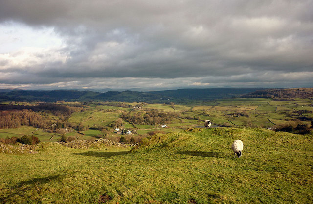
The downs in Helass Wood are characterized by gently rolling hills, covered in lush green grass. These open spaces provide an ideal setting for picnics, leisurely walks, and outdoor activities. The downs offer breathtaking panoramic views of the surrounding countryside, allowing visitors to appreciate the scenic beauty of the area.
The wood also features stretches of moorland, which add an enchanting touch to the landscape. Moorland is characterized by vast expanses of heather, interspersed with scattered trees and shrubs. This terrain provides a habitat for a variety of plant and animal species, making it an excellent destination for nature enthusiasts and wildlife lovers.
Helass Wood is home to a rich assortment of flora and fauna, including rare species such as the bilberry bumblebee and the northern brown argus butterfly. The wood is also known for its diverse bird population, with sightings of species like the curlew and the lapwing.
Visitors to Helass Wood can enjoy a range of activities, including hiking, birdwatching, and nature photography. The wood is equipped with well-maintained trails and picnic areas, ensuring a comfortable and enjoyable experience for all visitors.
In conclusion, Helass Wood in Lancashire offers a captivating blend of downs and moorland, providing visitors with a unique and immersive nature experience. Its diverse landscapes, rich biodiversity, and recreational opportunities make it a must-visit destination for nature enthusiasts and outdoor adventurers alike.
If you have any feedback on the listing, please let us know in the comments section below.
Helass Wood Images
Images are sourced within 2km of 54.308136/-2.9336862 or Grid Reference SD3990. Thanks to Geograph Open Source API. All images are credited.


Helass Wood is located at Grid Ref: SD3990 (Lat: 54.308136, Lng: -2.9336862)
Administrative County: Cumbria
District: South Lakeland
Police Authority: Cumbria
What 3 Words
///blurs.snappy.marriage. Near Windermere, Cumbria
Nearby Locations
Related Wikis

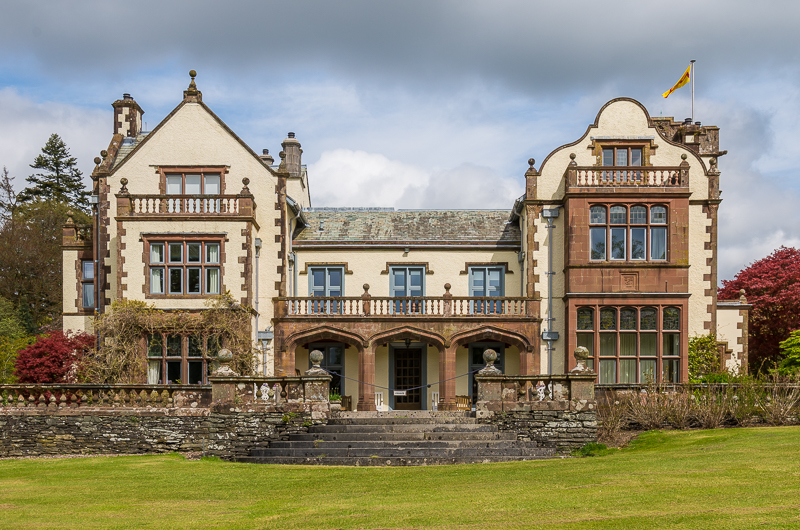
Moor Crag
Moor Crag (sometimes Moorcrag) is a Grade I listed house near Bowness-on-Windermere in South Lakeland, Cumbria, England, overlooking Windermere. It lies...
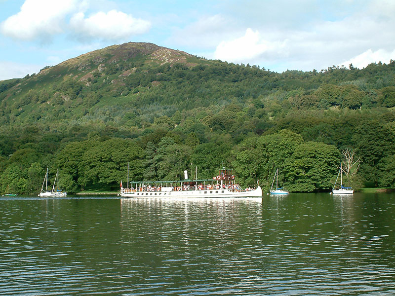
Gummer's How
Gummer's How is a hill in the southern part of the Lake District, on the eastern shore of Windermere, near its southern end. How, derived from the Old...
Graythwaite Hall
Graythwaite Hall, in Ulverston, Cumbria in the Lake District of England is the home of the Sandys family. One of the more famous members of the family...

Heights Tarn
Heights Tarn is a small lake to the east of Windermere and north of Simpson Ground Reservoir, near Cartmel Fell, in the Lake District of Cumbria, England...

Broad Leys
Broad Leys is a house located in Ghyll Head, near Bowness-on-Windermere, South Lakeland, Cumbria, England. It is in the northern part of the parish of...

Windermere Motor Boat Racing Club
The Windermere Motor Boat Racing Club is a British boating club based at Bowness-on-Windermere, Cumbria. The Club was founded in the 1920s. Its present...
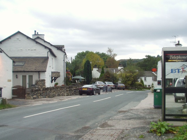
Bowland Bridge
Bowland Bridge is a village in Cumbria, England. == See also == == External links == Media related to Bowland Bridge at Wikimedia Commons

Cunsey Beck
Cunsey Beck is one of several rivers and streams that replenish the lake of Windermere in the English Lake District. Being just over two miles (3.2 km...
Nearby Amenities
Located within 500m of 54.308136,-2.9336862Have you been to Helass Wood?
Leave your review of Helass Wood below (or comments, questions and feedback).