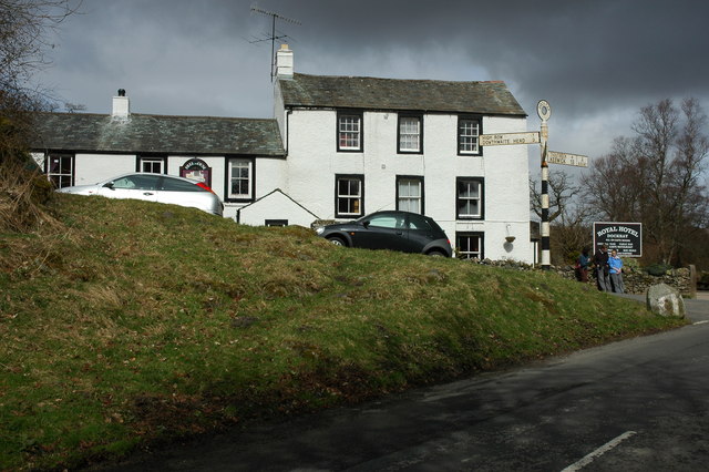
Binks Moss
Downs, Moorland in Cumberland Eden
England
Binks Moss

Binks Moss is a sprawling expanse of moorland located in Cumberland, England. Nestled within the picturesque Cumberland Downs, this natural landscape showcases the beauty of the region's rural countryside. The moss is characterized by its vast, open spaces, covered in a carpet of rich, green vegetation and dotted with patches of heather and gorse.
Stretching over several miles, Binks Moss is a haven for nature enthusiasts and offers a diverse range of habitats for various plant and animal species. The moss is renowned for its unique geological features, including several small ponds and marshes that provide a habitat for a variety of aquatic creatures and bird species. Birdwatchers can spot common species such as curlews, lapwings, and skylarks, as well as rarer sightings like merlins and short-eared owls.
The moss is also home to a rich variety of flora, with an array of wildflowers, grasses, and shrubs that flourish in the moorland environment. Bilberry, heather, and cotton grass are just a few of the species that add vibrant splashes of color to the landscape during the summer months.
Binks Moss offers a tranquil escape from the hustle and bustle of urban life, with numerous walking trails that wind through its expansive terrain. These trails provide visitors with the opportunity to immerse themselves in the natural beauty of the moorland, taking in the breathtaking views of the surrounding countryside.
Overall, Binks Moss is a captivating destination for those seeking to explore the unspoiled beauty of Cumberland's Downs and Moorland, offering a serene retreat for nature enthusiasts and a glimpse into the region's rich biodiversity.
If you have any feedback on the listing, please let us know in the comments section below.
Binks Moss Images
Images are sourced within 2km of 54.608174/-2.9492589 or Grid Reference NY3824. Thanks to Geograph Open Source API. All images are credited.
Binks Moss is located at Grid Ref: NY3824 (Lat: 54.608174, Lng: -2.9492589)
Administrative County: Cumbria
District: Eden
Police Authority: Cumbria
What 3 Words
///interrupt.carpentry.palaces. Near Keswick, Cumbria
Nearby Locations
Related Wikis
Troutbeck, Hutton
Troutbeck is a hamlet within Cumbria, England, a few miles to the west of Penrith. It was previously in the county of Cumberland. It lies within the Lake...
Great Mell Fell
Great Mell Fell (Bare hill, with the later additions of both "Fell" and "Great") is an isolated hill or fell in the English Lake District, north of Ullswater...
Ulcat Row
Ulcat Row (also Ulcatrow) is a village in the civil parish of Matterdale, in the Eden district, in the county of Cumbria, England. In the 2011 census,...
Dockray, Eden
Dockray (traditionally Dockwray) is a village in the civil parish of Matterdale, in the Eden district, in the county of Cumbria, England. In the 2011 census...
Gowbarrow Fell
Gowbarrow Fell (Windy hill) is a low fell in the English Lake District. It is an outlier of the Eastern Fells, standing to the north of Ullswater, bounded...
Troutbeck railway station
Troutbeck railway station was situated on the Cockermouth, Keswick and Penrith Railway between Penrith and Cockermouth in Cumberland (now in Cumbria),...
Mosedale Beck (Glenderamackin)
Mosedale Beck is a river in Cumbria, England, which rises on the northern slopes of Great Dodd and flows north east, to the south of Clough Head before...
Highgate Platform railway station
Highgate Platform railway station served schoolchildren in the isolated area of Highgate between Keswick and Penrith, in the historical area of Cumberland...
Nearby Amenities
Located within 500m of 54.608174,-2.9492589Have you been to Binks Moss?
Leave your review of Binks Moss below (or comments, questions and feedback).


