Bakestones Moss

Downs, Moorland in Westmorland South Lakeland

England

Bakestones Moss

Dove Crag and Hart Crag Two mountains, twin peaks, Hart Crag at 2,698′, has its head in the clouds. Dove Crag, at 2,603′, is just about clear.

I don’t think I have ever climbed either in their own right. Always on the way to or from Fairfield.

And between them, the hanging valley of Houndshope Cove with its scores of moraine ridges and mounds.

Wainwright thought that Hunsett Cove (in the photo immediately below Dove Crag) “was the crater of a volcano”.

Now I haven’t found anything to confirm that, but the rock hereabouts is certainly of volcanic origin, which would have occurred about 490-440 million years ago when the continental plates “collided” closing the Iapetus Ocean.

In more recent times (relatively speaking), the moraine ridges of Houndshope Cove and other tributaries of Dovedale Beck indicate it was the scene of a large glacier during the last ice age.

Although moraine ridges and mounds are present in most valleys of the Lake District, there is evidence of Dovedale’s moraines below the 200m contour almost to Hartsop Hall Farm, inferring that it was the largest glacier in the eastern Lake District and probably connected with glaciers in neighbouring valleys.

For sources and references see my blog <span class="nowrap"><a title="http://www.fhithich.uk/?p=27525" rel="nofollow ugc noopener" href="http://www.fhithich.uk/?p=27525">Link</a><img style="margin-left:2px;" alt="External link" title="External link - shift click to open in new window" src="https://s1.geograph.org.uk/img/external.png" width="10" height="10"/></span>
Dove Crag and Hart Crag Credit: Mick Garratt

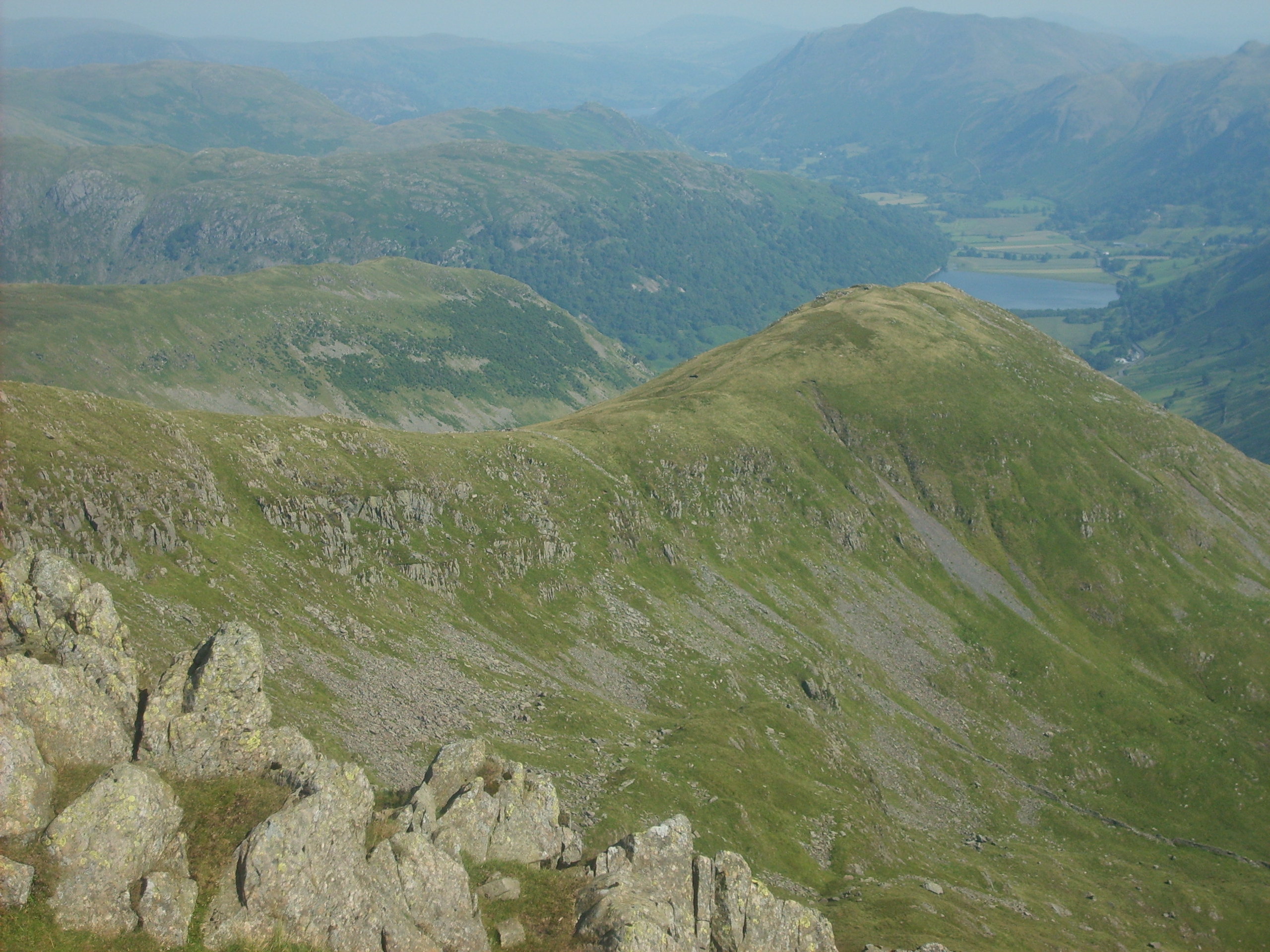
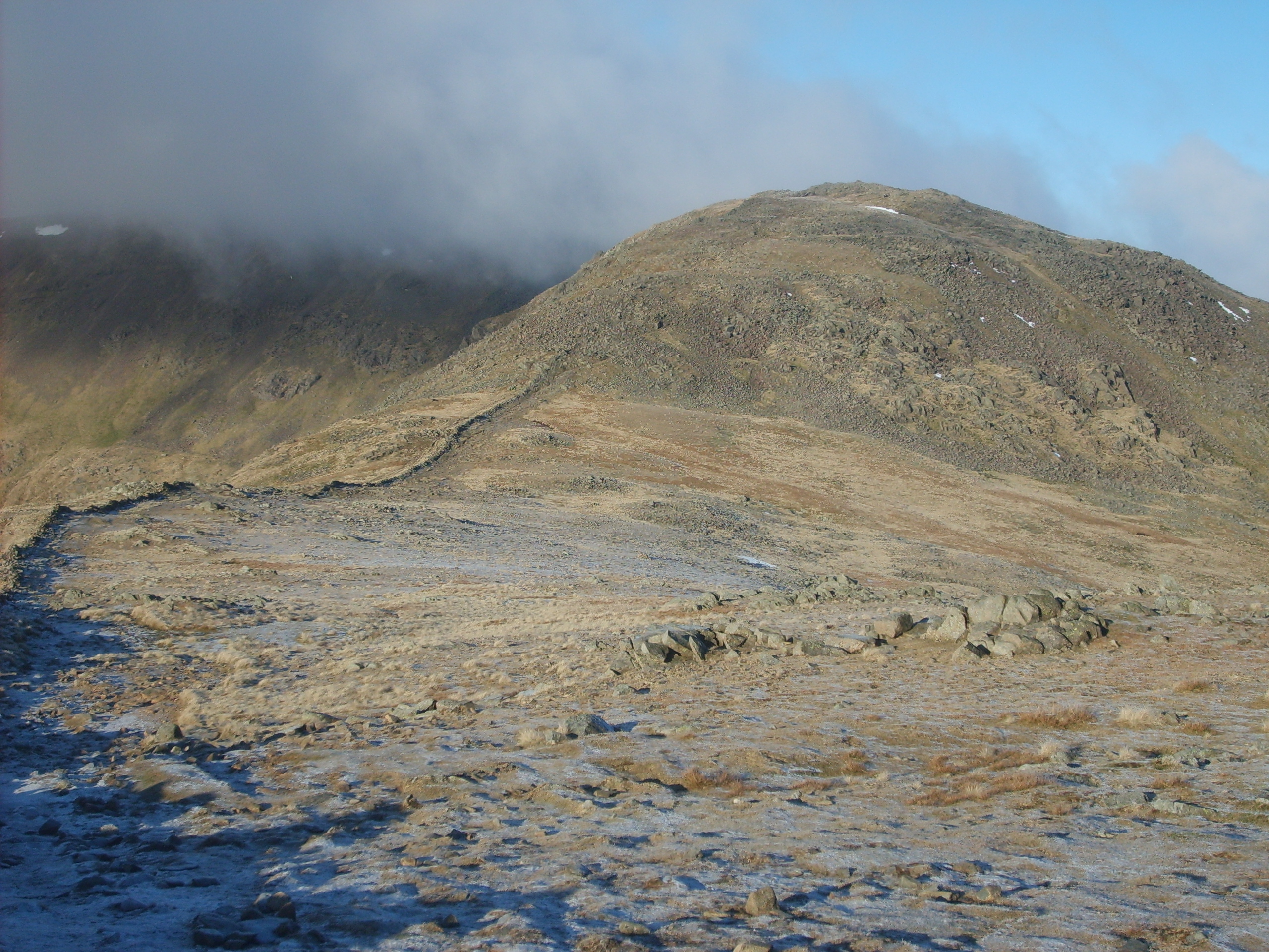
Bakestones Moss, located in Westmorland, is a captivating natural landscape that encompasses a combination of downs and moorland. Situated in the county of Cumbria, in the northern part of England, this area is known for its picturesque scenery and diverse ecosystem.

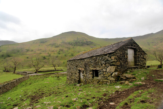
At Bakestones Moss, visitors are greeted with rolling hills and expansive open spaces, covered in lush green vegetation. The moss itself is a type of peatland, characterized by wet and waterlogged conditions, which support a unique range of plant and animal life. Mosses, heather, and grasses dominate the landscape, providing a rich habitat for numerous species of birds, insects, and small mammals.

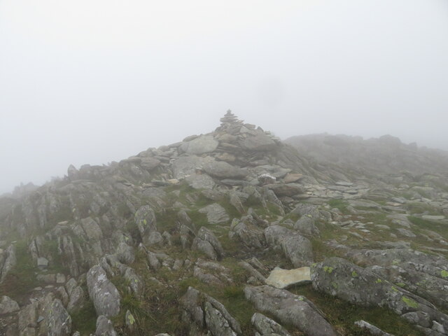
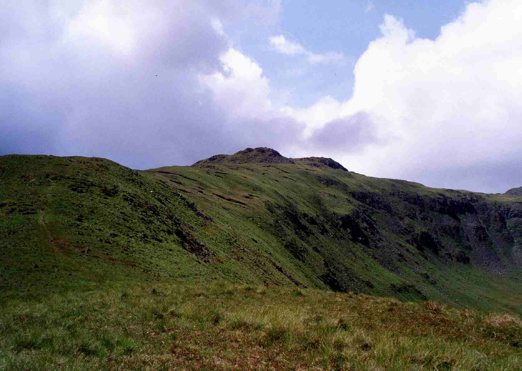
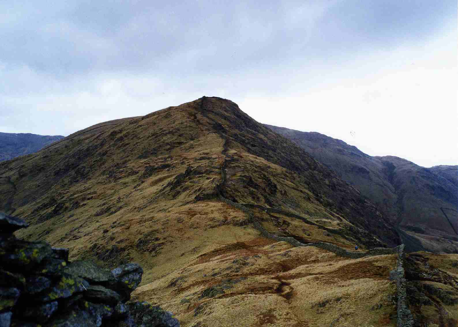
The area is renowned for its tranquil atmosphere, making it a popular destination for nature enthusiasts and those seeking a peaceful retreat. Hiking and walking trails traverse the moss, offering visitors the chance to explore the stunning surroundings and take in panoramic views of the surrounding countryside.

Bakestones Moss also plays a vital role in preserving the local environment and aiding in flood prevention. The vegetation acts as a natural sponge, absorbing excess rainfall and reducing the risk of downstream flooding.

In addition to its natural beauty, Bakestones Moss holds historical significance, with evidence of ancient settlements and burial sites dating back thousands of years. Archaeologists have discovered artifacts and remains that provide insights into the lives of the people who once inhabited this area.

Overall, Bakestones Moss in Westmorland is a captivating natural landscape, combining ancient history, diverse ecosystems, and stunning vistas, making it a must-visit destination for nature lovers and history enthusiasts alike.

If you have any feedback on the listing, please let us know in the comments section below.

Bakestones Moss Images

Images are sourced within 2km of 54.482079/-2.9554572 or Grid Reference NY3810. Thanks to Geograph Open Source API. All images are credited.

Dove Crag and Hart Crag Two mountains, twin peaks, Hart Crag at 2,698′, has its head in the clouds. Dove Crag, at 2,603′, is just about clear.

I don’t think I have ever climbed either in their own right. Always on the way to or from Fairfield.

And between them, the hanging valley of Houndshope Cove with its scores of moraine ridges and mounds.

Wainwright thought that Hunsett Cove (in the photo immediately below Dove Crag) “was the crater of a volcano”.

Now I haven’t found anything to confirm that, but the rock hereabouts is certainly of volcanic origin, which would have occurred about 490-440 million years ago when the continental plates “collided” closing the Iapetus Ocean.

In more recent times (relatively speaking), the moraine ridges of Houndshope Cove and other tributaries of Dovedale Beck indicate it was the scene of a large glacier during the last ice age.

Although moraine ridges and mounds are present in most valleys of the Lake District, there is evidence of Dovedale’s moraines below the 200m contour almost to Hartsop Hall Farm, inferring that it was the largest glacier in the eastern Lake District and probably connected with glaciers in neighbouring valleys.

For sources and references see my blog <span class="nowrap"><a title="http://www.fhithich.uk/?p=27525" rel="nofollow ugc noopener" href="http://www.fhithich.uk/?p=27525">Link</a><img style="margin-left:2px;" alt="External link" title="External link - shift click to open in new window" src="https://s1.geograph.org.uk/img/external.png" width="10" height="10"/></span>
Dove Crag and Hart Crag
Two mountains, twin peaks, Hart Crag at 2,698′, has its head in the clouds. Dove Crag, at 2,603′, is just about clear. I don’t think I have ever climbed either in their own right. Always on the way to or from Fairfield. And between them, the hanging valley of Houndshope Cove with its scores of moraine ridges and mounds. Wainwright thought that Hunsett Cove (in the photo immediately below Dove Crag) “was the crater of a volcano”. Now I haven’t found anything to confirm that, but the rock hereabouts is certainly of volcanic origin, which would have occurred about 490-440 million years ago when the continental plates “collided” closing the Iapetus Ocean. In more recent times (relatively speaking), the moraine ridges of Houndshope Cove and other tributaries of Dovedale Beck indicate it was the scene of a large glacier during the last ice age. Although moraine ridges and mounds are present in most valleys of the Lake District, there is evidence of Dovedale’s moraines below the 200m contour almost to Hartsop Hall Farm, inferring that it was the largest glacier in the eastern Lake District and probably connected with glaciers in neighbouring valleys. For sources and references see my blog LinkExternal link
Field barn at the foot of Dovedale The public footpath from Cow Bridge, past Hartsop Hall and on its way to the tops of the Fairfield massif breaks into CROW Access Land just before passing this field barn. The path has, by this time, downgraded from the hard surfaced highway that started out past Brothers Water and has become a more traditional muddy trod, inhabited (and polluted) by cows, so at least one can coem home with boots that look as though they've been somewhere.
Field barn at the foot of Dovedale
The public footpath from Cow Bridge, past Hartsop Hall and on its way to the tops of the Fairfield massif breaks into CROW Access Land just before passing this field barn. The path has, by this time, downgraded from the hard surfaced highway that started out past Brothers Water and has become a more traditional muddy trod, inhabited (and polluted) by cows, so at least one can coem home with boots that look as though they've been somewhere.
Footpath to Dove Crag Despite recent wet weather, the public footpath up Dovedale, which stays close to the beck, manages to stay pretty dry underfoot. There's a more heavily used path (not a right of way) higher up to our right, which seems a better bet if the ground here is even wetter. There's also a fainter path on the left of the photo which avoids crossing the beck at the point that the right of way changes sides, but it appears to rather fizzle out higher up, as though its users thought better of it and decided to join the main thoroughfare.
Footpath to Dove Crag
Despite recent wet weather, the public footpath up Dovedale, which stays close to the beck, manages to stay pretty dry underfoot. There's a more heavily used path (not a right of way) higher up to our right, which seems a better bet if the ground here is even wetter. There's also a fainter path on the left of the photo which avoids crossing the beck at the point that the right of way changes sides, but it appears to rather fizzle out higher up, as though its users thought better of it and decided to join the main thoroughfare.
Split boulder by path to Dove Crag When does a split boulder become two boulders ? The ones here have clearly once been united in single boulderhood but are now quite well separated as the more northerly half has foundered into soft soil. The public right of way passes quite close (I'd barely stepped off the path to take this shot) on its way to the shallow col between Dove Crag and Hart Crag, on the normal troute of the Fairfield horseshoe. Dove Crag forms an imposing buttress as seen from Dovedale, and the increasingly steep route turns it to the right, passing a barely discernible trod to the Priests' Hole which is now more likely to provide shelter to climbers avoiding the rain than to one sort of religious practitioner avoiding persecution by the others.
Split boulder by path to Dove Crag
When does a split boulder become two boulders ? The ones here have clearly once been united in single boulderhood but are now quite well separated as the more northerly half has foundered into soft soil. The public right of way passes quite close (I'd barely stepped off the path to take this shot) on its way to the shallow col between Dove Crag and Hart Crag, on the normal troute of the Fairfield horseshoe. Dove Crag forms an imposing buttress as seen from Dovedale, and the increasingly steep route turns it to the right, passing a barely discernible trod to the Priests' Hole which is now more likely to provide shelter to climbers avoiding the rain than to one sort of religious practitioner avoiding persecution by the others.
Footpath to Dove Crag The right of way ascends from Brothers Water up Dovedale to the shallow col between Dove Crag (on the left) and Hart Crag, on the normal troute of the Fairfield horseshoe. Dove Crag forms an imposing buttress as seen from Dovedale, and the increasingly steep route turns it to the right, passing a barely discernible trod to the Priests' Hole which is now more likely to provide shelter to climbers avoiding the rain than to one sort of religious practitioner avoiding persecution by the others.
Footpath to Dove Crag
The right of way ascends from Brothers Water up Dovedale to the shallow col between Dove Crag (on the left) and Hart Crag, on the normal troute of the Fairfield horseshoe. Dove Crag forms an imposing buttress as seen from Dovedale, and the increasingly steep route turns it to the right, passing a barely discernible trod to the Priests' Hole which is now more likely to provide shelter to climbers avoiding the rain than to one sort of religious practitioner avoiding persecution by the others.
Handrail wall on Dove Crag Dove Crag, despite its steep and imposing appearance when seen from Dovedale, has a generally flattish summit, traversed by walkers doing the Fairfield horseshoe (this was my own route of first ascent, in the early seventies). The path is not enormously distinct, but in the mist and low cloud so typical of this region, the old wall forms a useful handrail to guide one to the col (or to the top of Dove Crag, if this is the descending limb of your traverse).
Handrail wall on Dove Crag
Dove Crag, despite its steep and imposing appearance when seen from Dovedale, has a generally flattish summit, traversed by walkers doing the Fairfield horseshoe (this was my own route of first ascent, in the early seventies). The path is not enormously distinct, but in the mist and low cloud so typical of this region, the old wall forms a useful handrail to guide one to the col (or to the top of Dove Crag, if this is the descending limb of your traverse).
Summit area of Dove Crag
Path on Dove Crag
Path on Dove Crag
Cairn on Dove Crag
Cairn on Dove Crag
Cairn on Hart Crag
Cairn on Hart Crag
Rydal Head Rydal Head, with Hart Crag in the centre and Fairfield behind, as seen from Rydal Fell.
Rydal Head
Rydal Head, with Hart Crag in the centre and Fairfield behind, as seen from Rydal Fell.
Hart Crag Looking towards Hart Crag.  In the right background is Windermere.
Hart Crag
Looking towards Hart Crag. In the right background is Windermere.
Towards Windermere Looking towards Windermere from Hart Crag.
Towards Windermere
Looking towards Windermere from Hart Crag.
Towards High Street Looking towards High Street from Hart Crag.
Towards High Street
Looking towards High Street from Hart Crag.
Rydal Beck valley Looking down the valley of Rydal Beck from Hart Crag with Heron Pike on the opposite side and Windermere, Coniston Water and the Coniston Fells in the background.
Rydal Beck valley
Looking down the valley of Rydal Beck from Hart Crag with Heron Pike on the opposite side and Windermere, Coniston Water and the Coniston Fells in the background.
Below Dove Crag Small tarn below Dove Crag.  In the right background is Hart Crag.
Below Dove Crag
Small tarn below Dove Crag. In the right background is Hart Crag.
Dove Crag Small tarn below Dove Crag.  In the background is Great Rigg and on the skyline are Crinkle Crags, Bowfell, Scafell Pike, Great Gable and Pillar.
Dove Crag
Small tarn below Dove Crag. In the background is Great Rigg and on the skyline are Crinkle Crags, Bowfell, Scafell Pike, Great Gable and Pillar.
Dove Crag The summit cairn on Dove Crag.  In the background is part of Windermere.
Dove Crag
The summit cairn on Dove Crag. In the background is part of Windermere.
Show me another place!

Bakestones Moss is located at Grid Ref: NY3810 (Lat: 54.482079, Lng: -2.9554572)

Administrative County: Cumbria

District: South Lakeland

Police Authority: Cumbria

What 3 Words

///hears.marinated.stirs. Near Ambleside, Cumbria

Related Wikis

Little Hart Crag

Little Hart Crag is a fell in the Lake District area of England. It stands at the head of Scandale, six kilometres (3+3⁄4 miles) north of Ambleside, at...

Dove Crag

Dove Crag is a fell in the English Lake District. Situated in the Eastern Fells of the national park, seven kilometres south-south-west of Glenridding...

High Hartsop Dodd

High Hartsop Dodd is a fell in the English Lake District, an outlier of the Fairfield group in the Eastern Fells. It stands above Kirkstone Pass on the...

High Pike (Scandale)

High Pike is a fell in the English Lake District, located five kilometres north of Ambleside. Situated in the Eastern Fells, it can be confused with another...

Middle Dodd

Middle Dodd is a fell in the English Lake District, an outlier of the Helvellyn range in the Eastern Fells. It stands above Kirkstone Pass on the road...

Hart Crag

Hart Crag is a fell in the English Lake District, being one of the Fairfield group of hills in the Eastern Fells. == Topography == The fell stands on the...

Hartsop above How

Hartsop above How is a fell in the English Lake District, an outlier of the Helvellyn range in the Eastern Fells. It stands above Brothers Water and the...

Red Screes

Red Screes is a fell in the English Lake District, situated between the villages of Patterdale and Ambleside. It may be considered an outlier of the Fairfield...

Nearby Amenities

Located within 500m of 54.482079,-2.9554572
Man Made: cairn
Lat/Long: 54.4805674/-2.9606169
Ele: 600
Lat/Long: 54.4834393/-2.9534328
Low Bakestones
Place: locality
Lat/Long: 54.4778407/-2.9573516
High Bakestones
Place: locality
Lat/Long: 54.4826582/-2.9572982
Black Brow
Place: locality
Lat/Long: 54.4828984/-2.9504873
High Lowston Stone
Place: locality
Lat/Long: 54.4789384/-2.9522633
Scandale Head
Place: locality
Lat/Long: 54.4786977/-2.9591001
The data included in this document is from www.openstreetmap.org. The data is made available under ODbL.

Have you been to Bakestones Moss?

Leave your review of Bakestones Moss below (or comments, questions and feedback).