Brownend Plantation
Downs, Moorland in Westmorland Eden
England
Brownend Plantation

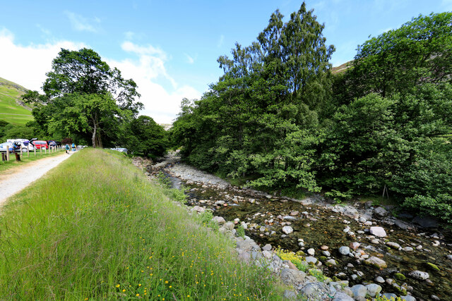
Brownend Plantation is a picturesque woodland located in the district of Westmorland, England. Situated on the Downs and Moorland, it covers an expansive area and is renowned for its natural beauty and diverse ecosystem.
The plantation is characterized by its dense vegetation, with a variety of tree species such as oak, beech, and birch dominating the landscape. These trees provide a rich habitat for numerous bird species, including woodpeckers, owls, and thrushes, making it a popular destination for birdwatchers and nature enthusiasts. The woodland floor is adorned with an array of wildflowers, adding to its visual appeal.
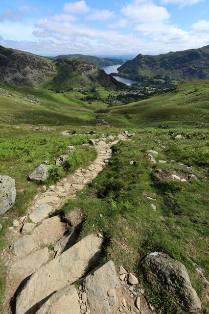
The plantation is crisscrossed by a network of well-maintained footpaths, allowing visitors to explore its nooks and crannies. These paths provide a serene and tranquil environment for walkers, joggers, and cyclists, who can enjoy the fresh air and the sights and sounds of nature. Additionally, the plantation offers several picnic spots, where visitors can relax and enjoy a meal amidst the peaceful surroundings.
Brownend Plantation is also of historical significance, as it has been a part of the local landscape for centuries. Its ancient trees and remnants of old stone walls serve as reminders of its past, adding a sense of timelessness to the area.
Overall, Brownend Plantation in Westmorland offers a captivating blend of natural beauty, recreational opportunities, and historical charm. It is a place that appeals to both locals and tourists seeking an escape from the hustle and bustle of everyday life.
If you have any feedback on the listing, please let us know in the comments section below.
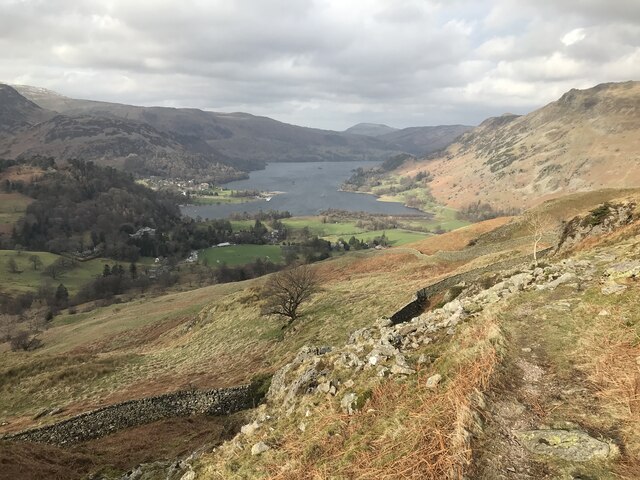
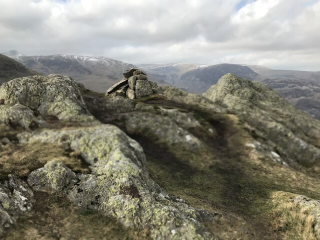
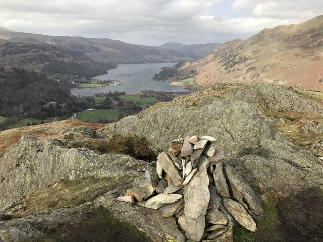
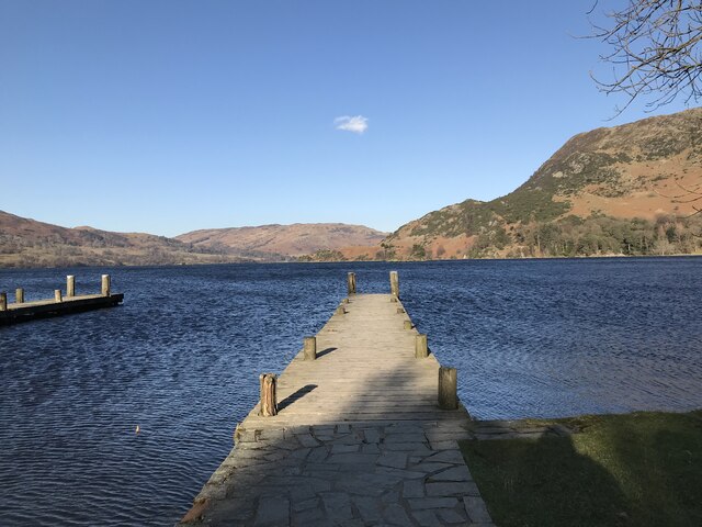
Brownend Plantation Images
Images are sourced within 2km of 54.535414/-2.9628386 or Grid Reference NY3715. Thanks to Geograph Open Source API. All images are credited.


Brownend Plantation is located at Grid Ref: NY3715 (Lat: 54.535414, Lng: -2.9628386)
Administrative County: Cumbria
District: Eden
Police Authority: Cumbria
What 3 Words
///tunnel.confusion.pianists. Near Ambleside, Cumbria
Nearby Locations
Related Wikis

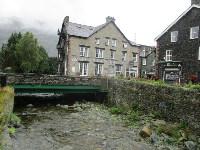
Glenridding
Glenridding is a village at the southern end of Ullswater, in the English Lake District. The village is popular with mountain walkers who can scale England...
Birkhouse Moor
Birkhouse Moor is a fell in the English Lake District, an outlier of the Helvellyn range in the Eastern Fells. It is properly an eastern ridge of Helvellyn...

Glenridding Dodd
Glenridding Dodd (the rounded hill above Glenridding) is a small fell in the English Lake District, at the end of a ridge descending from the Helvellyn...
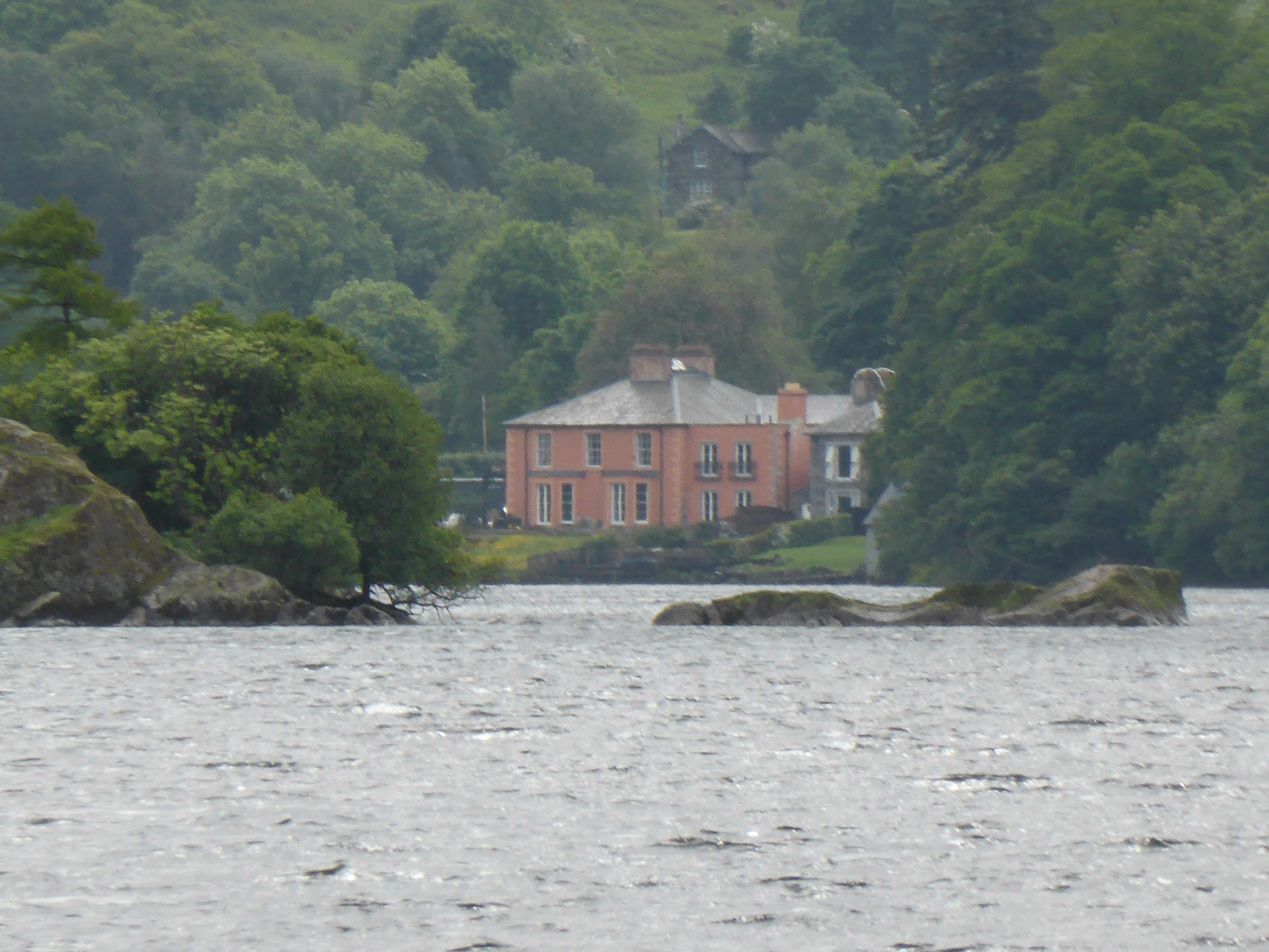
Glenridding House
Glenridding House is a Regency era building in Glenridding on Ullswater, constructed between 1807 and 1814. It was a private summer villa until about 1860...

Birks (Lake District)
Birks is a fell in the English Lake District situated two kilometres south west of the village of Patterdale in the Eastern Fells. The fells summit sits...
Arnison Crag
Arnison Crag is a fell in the English Lake District, an outlier of the Fairfield group in the Eastern Fells. It looks down on Patterdale village and the...

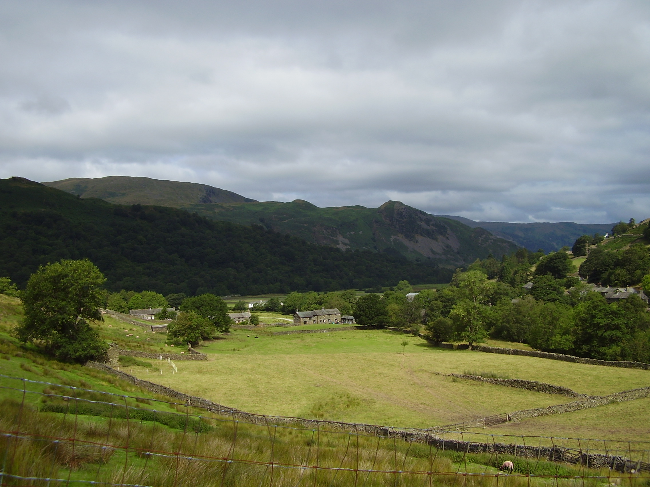
Patterdale
Patterdale (Saint Patrick's Dale) is a small village and civil parish in the eastern part of the English Lake District in the Eden District of Cumbria...
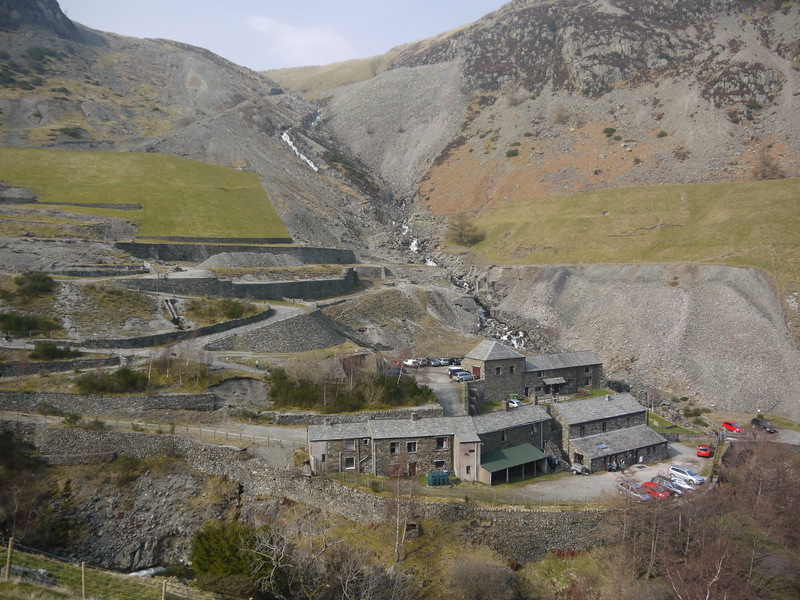
Greenside Mine
Greenside Mine (sometimes referred to as Greenside Lead Mine) was a successful lead mine in the Lake District of England. Between 1825 and 1961 the mine...
Nearby Amenities
Located within 500m of 54.535414,-2.9628386Have you been to Brownend Plantation?
Leave your review of Brownend Plantation below (or comments, questions and feedback).