Ha' Green

Downs, Moorland in Caithness

Scotland

Ha' Green

The John O'Groats Hotel, Caithness John De Groot originally built his house round about the 1500s.  He ran a ferry to Orkney and charged 4 old pennies (less than 2p) a trip. The coin of this denomination subsequently became known as a Groat.
The John O'Groats Hotel, Caithness Credit: Dorcas Sinclair

Ha' Green is a picturesque area located in Caithness, Scotland, renowned for its stunning downs and moorland landscapes. Situated amidst the northernmost part of mainland Scotland, this region offers visitors a unique and unspoiled natural beauty.

The downs in Ha' Green are characterized by rolling hills covered in lush green grass, which provide a tranquil and serene setting for outdoor activities such as hiking and birdwatching. The undulating topography offers breathtaking panoramic views of the surrounding countryside, with the rugged coastline visible in the distance.

The moorland in Ha' Green is a vast expanse of open and wild terrain, covered in heather, grasses, and scattered with rocky outcrops. This rugged landscape is home to a variety of plants and wildlife, including red deer, grouse, and various bird species. The moorland is a popular destination for nature enthusiasts and photographers looking to capture the beauty of the Scottish Highlands.

Ha' Green is also known for its rich history, with evidence of human habitation dating back thousands of years. Ancient burial sites and standing stones can be found scattered throughout the area, providing a glimpse into the region's past.

Visitors to Ha' Green can enjoy the tranquility of the countryside, explore the diverse flora and fauna, and immerse themselves in the captivating history of Caithness. Whether it's a leisurely stroll through the downs or a challenging hike across the moorland, Ha' Green offers a truly unforgettable experience for nature lovers and history enthusiasts alike.

If you have any feedback on the listing, please let us know in the comments section below.

Ha' Green Images

Images are sourced within 2km of 58.643368/-3.074703 or Grid Reference ND3773. Thanks to Geograph Open Source API. All images are credited.

The John O'Groats Hotel, Caithness John De Groot originally built his house round about the 1500s.  He ran a ferry to Orkney and charged 4 old pennies (less than 2p) a trip. The coin of this denomination subsequently became known as a Groat.
The John O'Groats Hotel, Caithness
John De Groot originally built his house round about the 1500s. He ran a ferry to Orkney and charged 4 old pennies (less than 2p) a trip. The coin of this denomination subsequently became known as a Groat.
The Wildcat Rally Games Each year at John O'Groats there is a bike rally and a vintage bike rally, normally held at the same time.  It's amazing what normally sensible adults will get up to with a few beers, a nice afternoon and lots of encouragement!

Taken pretty much from the centre of the square looking North.
The Wildcat Rally Games
Each year at John O'Groats there is a bike rally and a vintage bike rally, normally held at the same time. It's amazing what normally sensible adults will get up to with a few beers, a nice afternoon and lots of encouragement! Taken pretty much from the centre of the square looking North.
Evening at John o' Groats Harbour A lovely calm evening.  The foot passenger ferry lying at anchor.
Evening at John o' Groats Harbour
A lovely calm evening. The foot passenger ferry lying at anchor.
Ness of Duncansby Looking east from the shore at John O' Groats towards the Ness of Dunscanby.
Ness of Duncansby
Looking east from the shore at John O' Groats towards the Ness of Dunscanby.
John O'Groats Signpost showing how far to various places and also the date 13 July, 1983. In the background we have the harbour with the Scouters Lass moored at the quayside on the right hand side of the harbour. The sea is calm and the visibility good, with some of the islands visible on the horizon.
John O'Groats
Signpost showing how far to various places and also the date 13 July, 1983. In the background we have the harbour with the Scouters Lass moored at the quayside on the right hand side of the harbour. The sea is calm and the visibility good, with some of the islands visible on the horizon.
Signpost at John O'Groats Taken eleven years after the other geograph showing this sign, a comparison shows the erosion around this popular landmark.  We didn't wait around for the photographers return!
Signpost at John O'Groats
Taken eleven years after the other geograph showing this sign, a comparison shows the erosion around this popular landmark. We didn't wait around for the photographers return!
The road to Duncansby Head, Caithness
Ruined crofthouses, Duncansby, Caithness
Bay of Sannick Looking NE from position
Bay of Sannick
Looking NE from position
John O'Groats Post Office Mainland Britain's most northerly post office, whose 'frank' is eagerly sought.
John O'Groats Post Office
Mainland Britain's most northerly post office, whose 'frank' is eagerly sought.
'John O'Groats House' hotel On the shore of the Pentland Firth
'John O'Groats House' hotel
On the shore of the Pentland Firth
John O'Groats PO and petrol station.
John O'Groats Industrial Estate Pottery shop.
John O'Groats Industrial Estate
Pottery shop.
Scarfskerry Pottery With cat.
Scarfskerry Pottery
With cat.
The harbour at John o' Groats
Last House Museum Museum at John O Groats, hotel in the background.
Last House Museum
Museum at John O Groats, hotel in the background.
The End is Nigh Signpost at John O'Groats.
The End is Nigh
Signpost at John O'Groats.
Smithy Cottages B&B, Huna.
Smithy Cottages
B&B, Huna.
Show me another place!

Ha' Green is located at Grid Ref: ND3773 (Lat: 58.643368, Lng: -3.074703)

Unitary Authority: Highland

Police Authority: Highlands and Islands

What 3 Words

///cheek.hurry.untruth. Near John o' Groats, Highland

Nearby Locations

Ha' Green Hang

Related Wikis

John o' Groats

John O' Groats (Scottish Gaelic: Taigh Iain Ghròt) is a village 2.5 mi (4 km) northeast of Canisbay, Caithness, in the far north of Scotland. John O' Groats...

Huna, Caithness

Huna is a small remote crofting township, located 1 mile northeast of Canisbay and 1.5 miles west of John o' Groats in Caithness, in Scotland. It is currently...

Huna House

Huna House is a Victorian building located in the small village of Huna in Canisbay, north of Caithness. Built in 1870 as the Huna Hotel, it is listed...
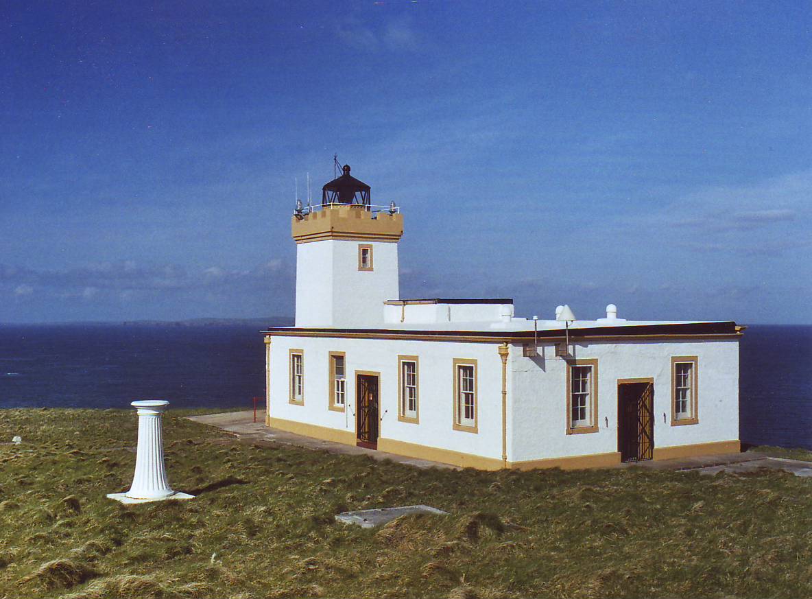
Duncansby Head

Duncansby Head (Scottish Gaelic: Ceann Dhunngain or Dùn Gasbaith) is the most northeasterly part of both the Scottish and British mainlands, slightly...

Nearby Amenities

Located within 500m of 58.643368,-3.074703
Source: PGS
Lat/Long: 58.6443391/-3.0677999
Created By: dmgroom_coastlines
Source: PGS
Lat/Long: 58.644841/-3.069409
Source: PGS
Lat/Long: 58.6441755/-3.0720062
Source: PGS
Lat/Long: 58.6441784/-3.0726628
Source: PGS
Lat/Long: 58.6443119/-3.0733495
Source: PGS
Lat/Long: 58.6443873/-3.0739139
Source: PGS
Lat/Long: 58.6445713/-3.0748856
Source: PGS
Lat/Long: 58.6446495/-3.0752951
Source: PGS
Lat/Long: 58.6446492/-3.0760542
Source: PGS
Lat/Long: 58.6446283/-3.0767467
Source: PGS
Lat/Long: 58.6446802/-3.0775422
Source: PGS
Lat/Long: 58.6447608/-3.0784252
Source: PGS
Lat/Long: 58.6448351/-3.0789171
Source: PGS
Lat/Long: 58.6449113/-3.0794096
Source: PGS
Lat/Long: 58.6450042/-3.0795915
Source: PGS
Lat/Long: 58.6451405/-3.0798135
Source: PGS
Lat/Long: 58.6452479/-3.080093
Source: PGS
Lat/Long: 58.6453035/-3.0804047
Source: PGS
Lat/Long: 58.645287/-3.0807518
Source: PGS
Lat/Long: 58.6452666/-3.0810838
Source: PGS
Lat/Long: 58.6451809/-3.0815135
Source: PGS
Lat/Long: 58.645095/-3.0819904
Ferry Terminal
Ferry: yes
Public Transport: station
Lat/Long: 58.6446363/-3.0701345
Telephone
Booth: KX100
Check Date: 2023-09-17
Covered: booth
Lat/Long: 58.6433993/-3.0697828
Cafe
Roads End Coffee Shop
Lat/Long: 58.643601/-3.069296
John O'Groats
Information: guidepost
Tourism: information
Lat/Long: 58.6440081/-3.070033
Give Way
Direction: backward
Lat/Long: 58.6429019/-3.068769
Artwork Type: sculpture
Tourism: artwork
Lat/Long: 58.6439544/-3.0703342
Ice Cream
Flavours
Shop: confectionery
Lat/Long: 58.6428284/-3.0702549
Restaurant
Stacks Bistro
Lat/Long: 58.6427446/-3.0701262
Waste Basket
Waste: dog_excrement
Lat/Long: 58.6441926/-3.0670466
Power: pole
Lat/Long: 58.6432525/-3.0822052
Power: pole
Lat/Long: 58.6429091/-3.0809992
Power: pole
Lat/Long: 58.6425551/-3.0797403
Power: pole
Lat/Long: 58.6421436/-3.0782561
Material: wood
Power: pole
Lat/Long: 58.6417072/-3.077511
Material: wood
Power: pole
Lat/Long: 58.6413163/-3.0776226
Power: pole
Lat/Long: 58.6406453/-3.0778785
Power: pole
Lat/Long: 58.6400061/-3.078114
Material: wood
Power: pole
Lat/Long: 58.6418034/-3.0770054
Material: wood
Power: pole
Lat/Long: 58.6420665/-3.0758948
Material: wood
Power: pole
Lat/Long: 58.6423718/-3.0752146
Bus Stop
Lat/Long: 58.6433697/-3.069014
The data included in this document is from www.openstreetmap.org. The data is made available under ODbL.

Have you been to Ha' Green?

Leave your review of Ha' Green below (or comments, questions and feedback).