Woodalls Green

Downs, Moorland in Herefordshire

England

Woodalls Green

Field beside Bowmore Wood The hedge at the far end of this field follows the course of Offa's Dyke.
Field beside Bowmore Wood Credit: Philip Halling

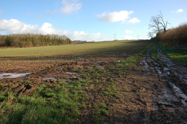
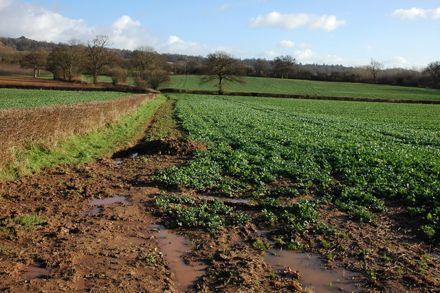
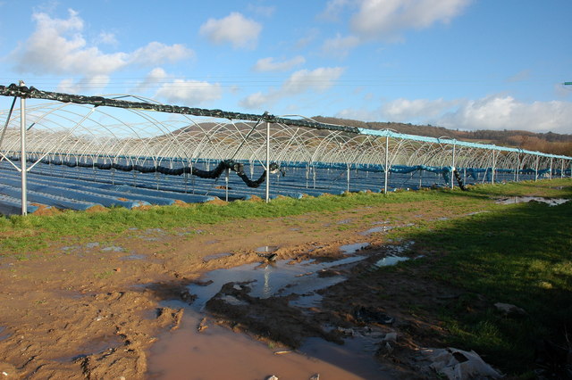
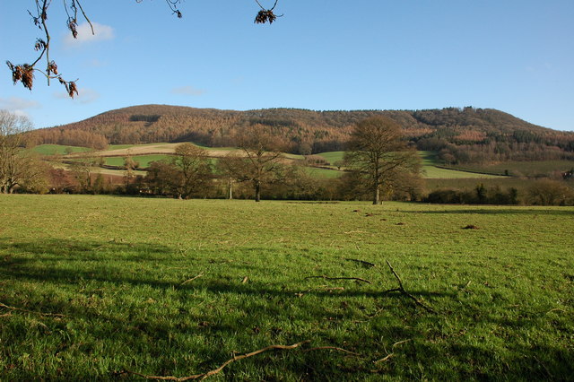
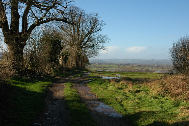
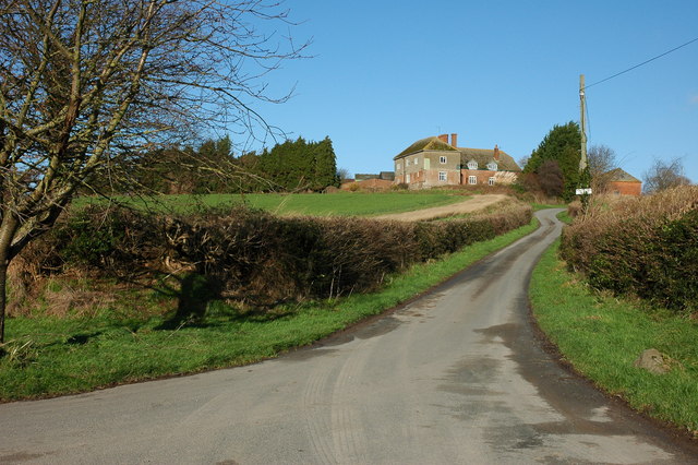
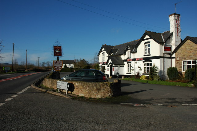
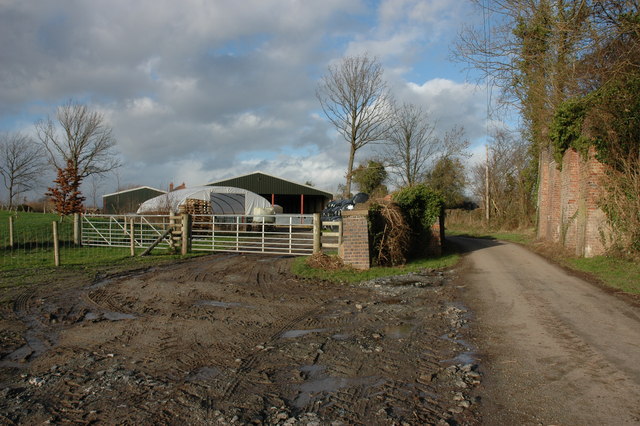
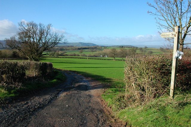
Woodalls Green is a small village located in Herefordshire, England. Situated on the downs and moorland, this rural community offers picturesque views and a tranquil environment. The village is surrounded by rolling hills and open fields, making it an ideal location for those seeking a peaceful countryside setting.

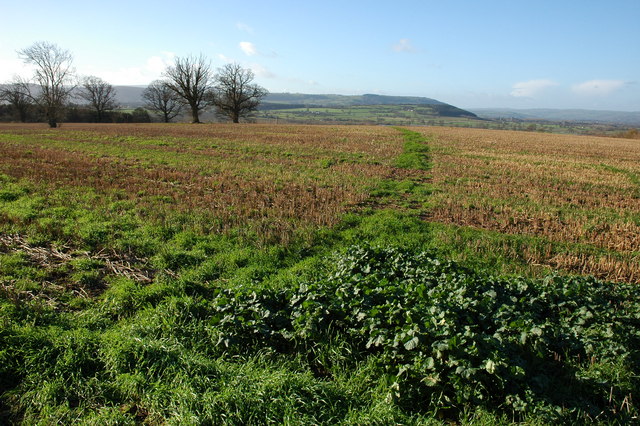
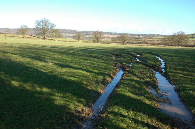
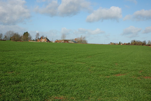
The landscape of Woodalls Green is characterized by lush greenery, with patches of woodland and hedgerows dotting the area. The downs provide ample space for outdoor activities such as hiking, horse riding, and cycling, attracting nature enthusiasts and adventure seekers alike. The moorland, on the other hand, offers a unique habitat for various species of wildlife, making it a popular spot for birdwatching and wildlife observation.

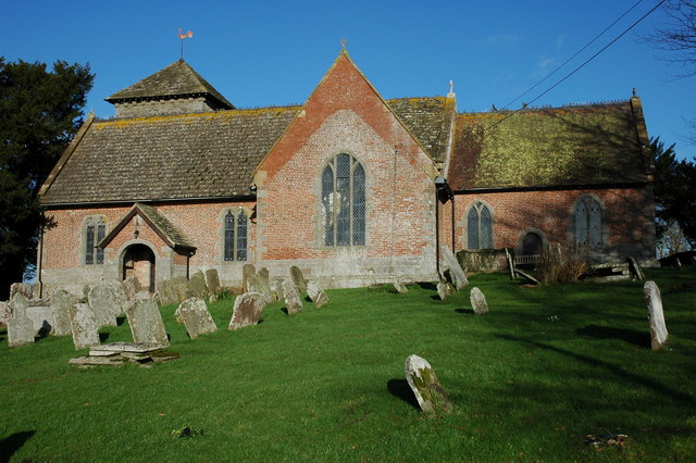
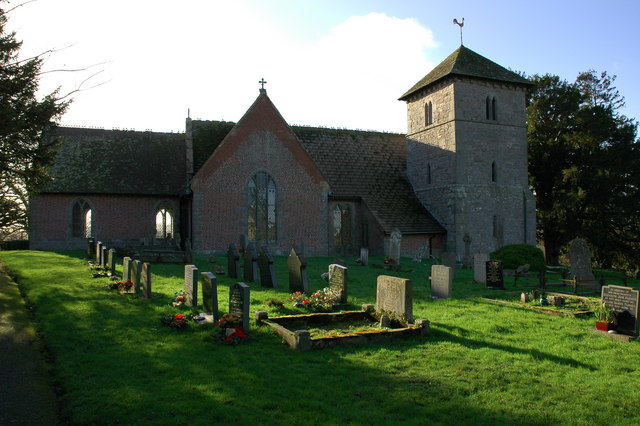
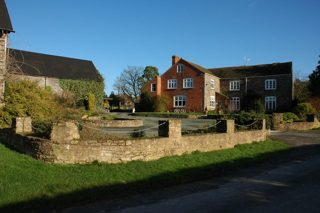
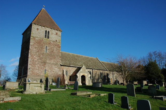
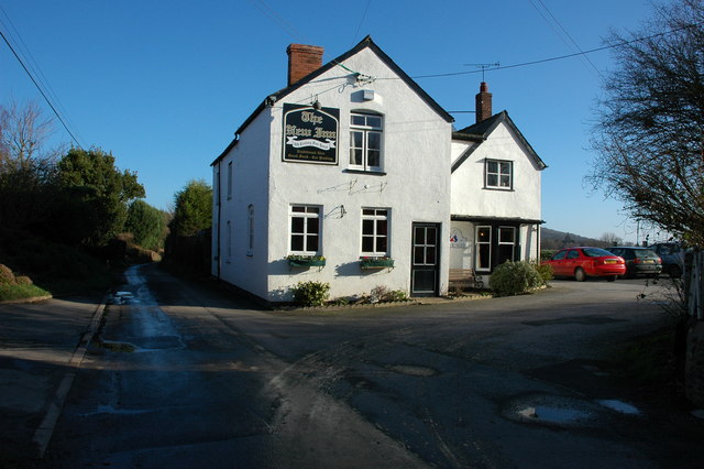
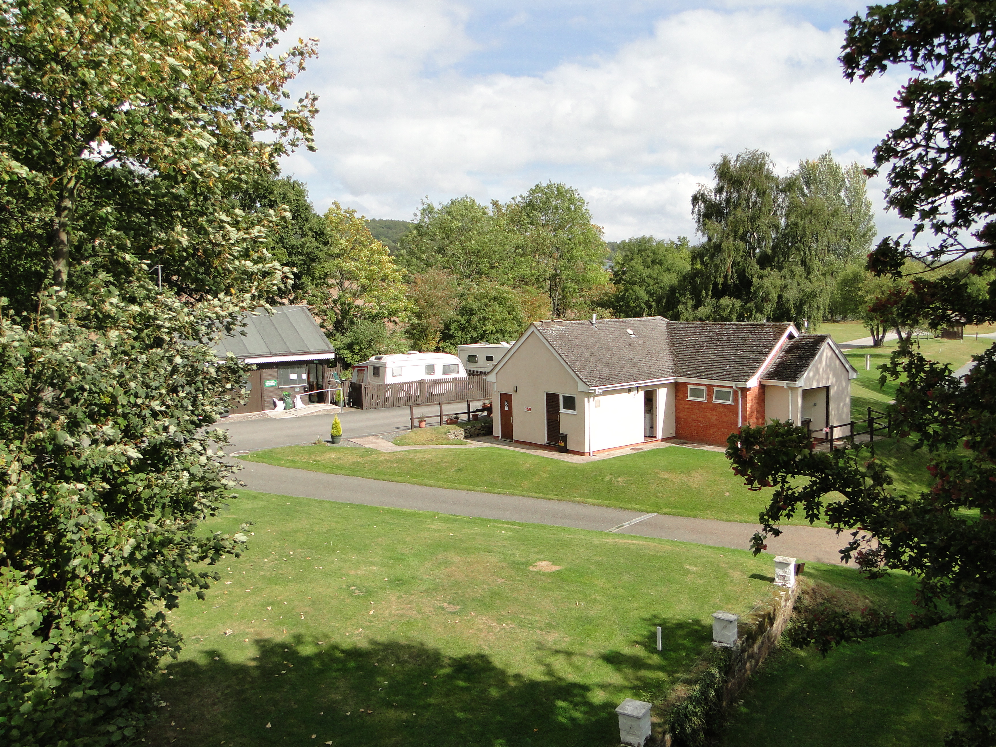
The village itself is a close-knit community, with a small population of friendly locals who take pride in their surroundings. The houses in Woodalls Green feature a mix of architectural styles, ranging from traditional cottages to more modern designs. There is a sense of tranquility and charm that permeates the village, with residents enjoying a peaceful and idyllic way of life.

Despite its rural setting, Woodalls Green is well-connected to nearby towns and amenities. The village is just a short drive away from Hereford, the county town, where residents can find a range of shops, schools, and healthcare facilities. Additionally, the village has a local pub and a community center, providing opportunities for social gatherings and events.

In conclusion, Woodalls Green offers a serene and picturesque countryside setting, with its downs and moorland providing ample opportunities for outdoor activities. The village's close-knit community and proximity to nearby amenities make it an attractive place to live for those seeking a peaceful and idyllic way of life in Herefordshire.

If you have any feedback on the listing, please let us know in the comments section below.

Woodalls Green Images

Images are sourced within 2km of 52.108755/-2.9114337 or Grid Reference SO3745. Thanks to Geograph Open Source API. All images are credited.

Field beside Bowmore Wood The hedge at the far end of this field follows the course of Offa's Dyke.
Field beside Bowmore Wood
The hedge at the far end of this field follows the course of Offa's Dyke.
Farmland to the south of Upperton Farm
Crop tunnels near Skinhouse Wood
Norton Canon church Norton Canon church is dedicated to St Nicholas. According to Pevsner the tower dates from the 13th century, and the nave, chancel and transepts were built in brick in the early 18th century, with the medieval church windows incorporated into the walls.  The church was featured on BBC Radio 4's programme, 'Open Country' on 21 April 2012 <span class="nowrap"><a title="http://www.bbc.co.uk/programmes/b01g63tv" rel="nofollow ugc noopener" href="http://www.bbc.co.uk/programmes/b01g63tv">Link</a><img style="margin-left:2px;" alt="External link" title="External link - shift click to open in new window" src="https://s1.geograph.org.uk/img/external.png" width="10" height="10"/></span> In particular the programme features the restoration of the church bells
Norton Canon church
Norton Canon church is dedicated to St Nicholas. According to Pevsner the tower dates from the 13th century, and the nave, chancel and transepts were built in brick in the early 18th century, with the medieval church windows incorporated into the walls. The church was featured on BBC Radio 4's programme, 'Open Country' on 21 April 2012 LinkExternal link In particular the programme features the restoration of the church bells
View to the east from Norton Canon The view to the east from Norton Canon is dominated by Burton Hill and Yazor Wood.
View to the east from Norton Canon
The view to the east from Norton Canon is dominated by Burton Hill and Yazor Wood.
The Cross, Norton Canon
Footpath from Upper Norton View to the south-west from a footpath near Upper Norton
Footpath from Upper Norton
View to the south-west from a footpath near Upper Norton
Farm track near Upper Norton In the valley beyond, the unusually named stream, Letton Lake, a tributary of the River Wye, has flooded the low lying farmland
Farm track near Upper Norton
In the valley beyond, the unusually named stream, Letton Lake, a tributary of the River Wye, has flooded the low lying farmland
Kilkington Farm, Staunton on Wye
Staunton on Wye church The church of St Mary at Staunton on Wye is on high ground with a good view over the Wye valley to the south.
Staunton on Wye church
The church of St Mary at Staunton on Wye is on high ground with a good view over the Wye valley to the south.
War Memorial, Staunton on Wye
The Portway Inn Hotel, Staunton on Wye <span class="nowrap"><a title="http://www.theportwayinnhotel.co.uk/" rel="nofollow ugc noopener" href="http://www.theportwayinnhotel.co.uk/">Link</a><img style="margin-left:2px;" alt="External link" title="External link - shift click to open in new window" src="https://s1.geograph.org.uk/img/external.png" width="10" height="10"/></span>
The Portway Inn Hotel, Staunton on Wye
The New Inn, Staunton on Wye
Farmland to the south of Hinton Farm
Former Hereford to Hay railway at Pig Street On the right is the bridge parapet of the former Hereford to Hay on Wye railway which was closed in the 1960s. Little remains of the parapet on the left and the embankment on the left has been completely levelled and is now occupied by a farm.
Former Hereford to Hay railway at Pig Street
On the right is the bridge parapet of the former Hereford to Hay on Wye railway which was closed in the 1960s. Little remains of the parapet on the left and the embankment on the left has been completely levelled and is now occupied by a farm.
Bridleway at Mansell Gamage View to the west.
Bridleway at Mansell Gamage
View to the west.
Moorhampton Farm View from the road junction to the south-east
Moorhampton Farm
View from the road junction to the south-east
Show me another place!

Woodalls Green is located at Grid Ref: SO3745 (Lat: 52.108755, Lng: -2.9114337)

Unitary Authority: County of Herefordshire

Police Authority: West Mercia

What 3 Words

///pickup.balanced.wiser. Near Yazor, Herefordshire

Related Wikis

Staunton on Wye

Staunton on Wye is a relatively unpopulated civil parish in West Herefordshire, which is perhaps one of the most uninhabited locations of England. The...

Moorhampton railway station

Moorhampton railway station was a station in the hamlet of Moorhampton, to the east of Norton Canon, Herefordshire, England. The station was opened for...

Mansell Gamage

Mansell Gamage is a village and civil parish in Herefordshire, England. It is on the B4230 road and is near the A438 road. == References ==

Monnington on Wye

Monnington on Wye is a village and former civil parish, now in the parish of Brobury with Monnington-on-Wye, in western Herefordshire, England, located...

Have you been to Woodalls Green?

Leave your review of Woodalls Green below (or comments, questions and feedback).