Liberty Moor
Downs, Moorland in Somerset Sedgemoor
England
Liberty Moor

Liberty Moor, situated in Somerset, England, is a breathtaking expanse of natural beauty that encompasses both the Downs and the Moorland. Spanning approximately 100 square miles, this picturesque region is characterized by its rolling hills, lush green meadows, and expansive heathlands.
The Downs section of Liberty Moor showcases an undulating landscape, with gentle slopes and panoramic views. These chalk hills are adorned with vibrant wildflowers during the spring and summer months, creating a colorful tapestry that attracts nature enthusiasts and hikers alike. This area also boasts several quaint villages, each with its own unique charm and traditional architecture.
On the other hand, the Moorland area of Liberty Moor offers a stark contrast with its rugged terrain and vast open spaces. Blanketed by heather and gorse, this landscape is dotted with marshes, bogs, and peatlands. The moorland is home to a diverse array of wildlife, including red deer, ponies, and various bird species, making it a haven for nature lovers and birdwatchers.
Liberty Moor is also rich in historical and cultural significance. It has been inhabited for centuries, with evidence of ancient settlements and burial mounds scattered throughout the area. The remnants of medieval castles and monasteries provide a glimpse into the region's past, allowing visitors to step back in time and explore its fascinating heritage.
Overall, Liberty Moor, Somerset, offers a harmonious blend of natural beauty, diverse landscapes, and historical treasures. Whether it's exploring the rolling hills of the Downs or wandering through the wilds of the Moorland, visitors are bound to find solace and inspiration in this captivating region.
If you have any feedback on the listing, please let us know in the comments section below.
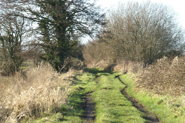
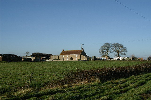
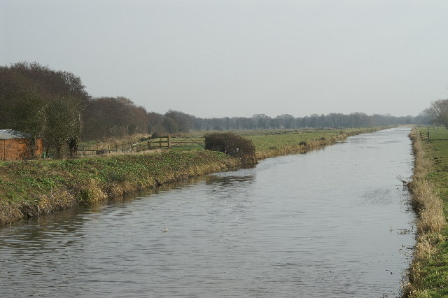
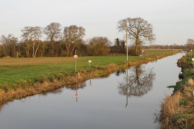
Liberty Moor Images
Images are sourced within 2km of 51.197911/-2.8970607 or Grid Reference ST3744. Thanks to Geograph Open Source API. All images are credited.


Liberty Moor is located at Grid Ref: ST3744 (Lat: 51.197911, Lng: -2.8970607)
Administrative County: Somerset
District: Sedgemoor
Police Authority: Avon and Somerset
What 3 Words
///crisper.baseballs.convey. Near Woolavington, Somerset
Nearby Locations
Related Wikis
South Drain (river)
The South Drain flows in a generally north-westerly direction from Actis Tunnel to Gold Corner, where it moves on to the Huntspill River, in Somerset,...
North Drain
The North Drain flows westerly from Hurn Sluice on the River Sheppey to the North Drain Pumping Station at the River Brue, in Somerset, England. ��2�...

Edington railway station
Edington Burtle railway station was a station on the Somerset and Dorset Joint Railway, and served the village of Edington, Somerset, UK. Originally named...

Mark, Somerset
Mark is a village and civil parish which lies approximately 10 miles (16 km) from Bridgwater, 5 miles (8 km) from Axbridge, and 4 miles (6.4 km) from Highbridge...
Nearby Amenities
Located within 500m of 51.197911,-2.8970607Have you been to Liberty Moor?
Leave your review of Liberty Moor below (or comments, questions and feedback).