Little Heath
Downs, Moorland in Shropshire
England
Little Heath
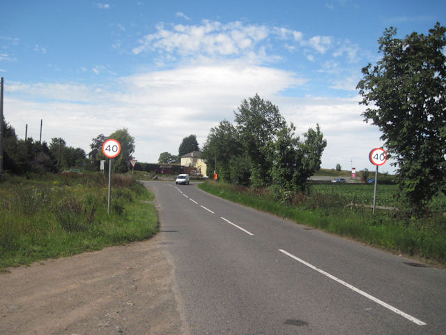
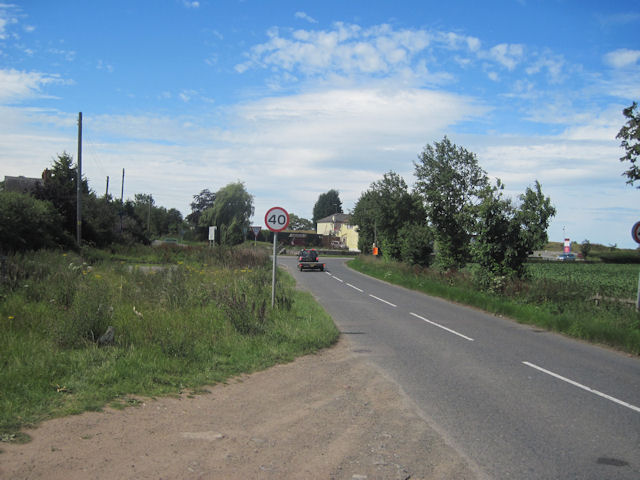
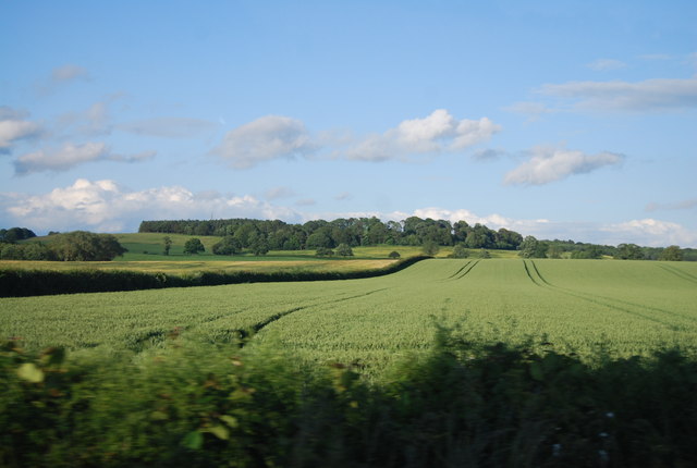
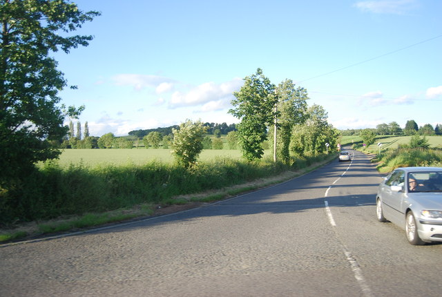
Little Heath is a charming rural village located in the county of Shropshire, England. Situated amidst the picturesque Downs and Moorland landscapes, this idyllic settlement offers a tranquil and peaceful retreat for residents and visitors alike.
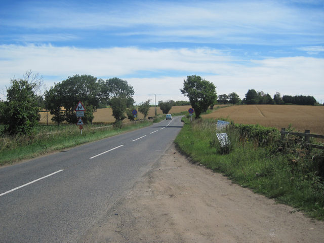
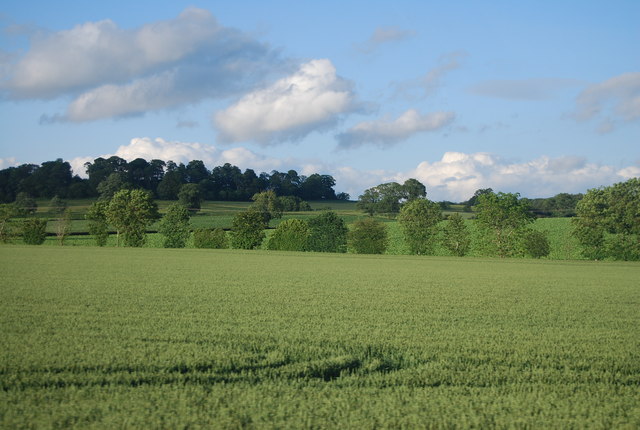
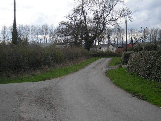
Surrounded by rolling hills, the village is known for its stunning natural beauty and scenic views. The Downs, with their gently sloping grasslands, provide a perfect setting for leisurely walks and outdoor activities. The Moorland, on the other hand, offers a more rugged and wild terrain, attracting hikers and nature enthusiasts seeking a more adventurous experience.
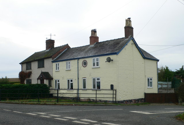
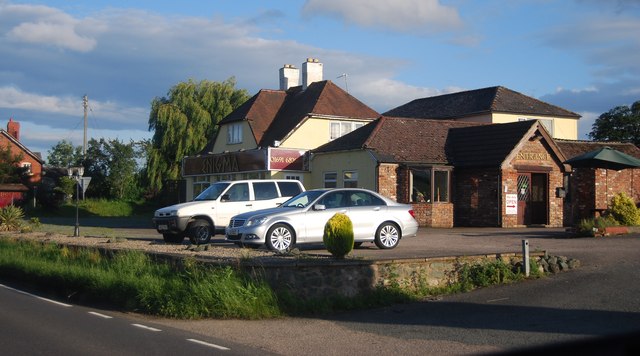
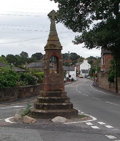
The village itself is characterized by its quaint and traditional architecture, with charming cottages and stone houses lining the streets. The community has a close-knit feel, with a small, friendly population that values the quiet and peaceful atmosphere of the area.
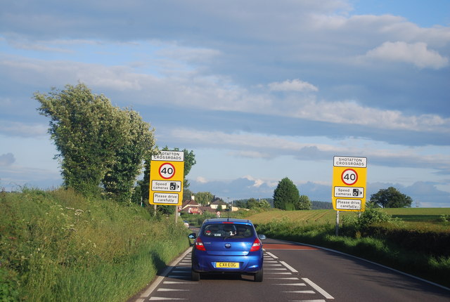
Despite its rural setting, Little Heath is not far from amenities and services. The nearby town of Shrewsbury, just a short drive away, offers a range of shops, restaurants, and entertainment options. Additionally, the village is well-connected by road, making it easily accessible for both residents and visitors.
For those seeking a peaceful escape from the hustle and bustle of city life, Little Heath in Shropshire is a hidden gem. With its stunning natural surroundings and charming village atmosphere, it offers the ideal location for those looking to enjoy the beauty of the Downs and Moorland landscapes.
If you have any feedback on the listing, please let us know in the comments section below.
Little Heath Images
Images are sourced within 2km of 52.794828/-2.933766 or Grid Reference SJ3722. Thanks to Geograph Open Source API. All images are credited.


Little Heath is located at Grid Ref: SJ3722 (Lat: 52.794828, Lng: -2.933766)
Unitary Authority: Shropshire
Police Authority: West Mercia
What 3 Words
///cans.autumn.erupted. Near Ruyton-XI-Towns, Shropshire
Nearby Locations
Related Wikis

Shelvock Manor
Shelvock Manor is a house and grounds in a township of the same name near Shrewsbury, Shropshire, England. It was once a place of local importance, and...
Packwood Haugh School
Packwood Haugh School is a co-educational private preparatory school for pupils from the ages of 4 to 13, offering places for both day and boarding pupils...
Ruyton-XI-Towns
Ruyton-XI-Towns ( "ry-tən eleven towns"), formally Ruyton of the Eleven Towns or simply Ruyton, is a village and civil parish next to the River Perry in...
Kynaston, Shropshire
Kynaston is an English hamlet in the parish of Kinnerley, Shropshire. It was described in 1870 as "KYNASTONE, a township in Kinnerley parish, Salop; 7½...

Kinton, Shropshire
Kinton is a hamlet in Shropshire, England. It is part of the civil parish of Great Ness, and is situated to the west of the A5 road. Richard Mathews, the...

Nesscliffe Training Area
The Nesscliffe Training Area is a military training facility located near Nesscliffe in Shropshire. == History == The training area is located on and around...

Nesscliffe
Nesscliffe is a village in Shropshire, England, located north of the River Severn. The village comes under the Great Ness parish. The A5 road, which previously...

Wykey
Wykey is a hamlet in Shropshire, England. It is approximately 2 miles north of the larger village of Ruyton-XI-Towns, and is recognised as one of the eleven...
Nearby Amenities
Located within 500m of 52.794828,-2.933766Have you been to Little Heath?
Leave your review of Little Heath below (or comments, questions and feedback).