Irvine Moss
Downs, Moorland in Dumfriesshire
Scotland
Irvine Moss
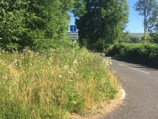
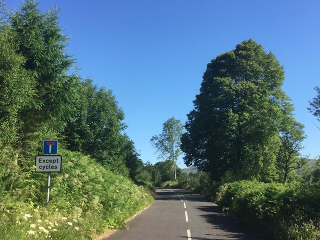
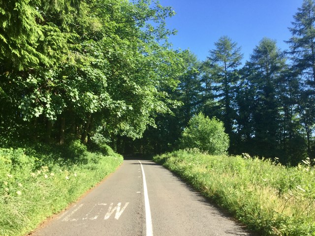
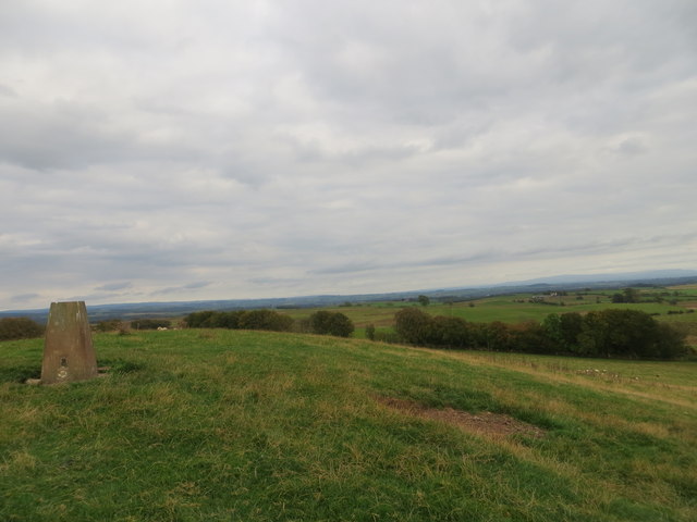
Irvine Moss is a vast area of downs and moorland located in Dumfriesshire, Scotland. Stretching across several square kilometers, this natural landscape is characterized by its low-lying, flat terrain and unique vegetation.
The downs of Irvine Moss are covered with a thick layer of peat, which has accumulated over centuries. This peat is formed from decaying plant material and is an important feature of the area, both ecologically and historically. The moss is home to a variety of plant species, such as heather, cotton grass, and bog rosemary, which have adapted to the specific conditions of the moorland.
This area also serves as a vital habitat for numerous bird species, including lapwings, curlews, and red grouse. These birds are attracted to the moss due to its rich feeding grounds and suitable nesting sites. Additionally, Irvine Moss is known to host a diverse range of insects, such as dragonflies and butterflies, further contributing to its ecological value.
From a historical perspective, Irvine Moss has been utilized for centuries for peat extraction. The peat was traditionally harvested and used as fuel for heating and cooking. Today, peat extraction is no longer common in the area, but remnants of this practice can still be seen in the form of old peat cuttings.
Irvine Moss is not only a significant natural landscape but also a popular destination for outdoor enthusiasts. Its vast open spaces provide ample opportunities for hiking, birdwatching, and exploring the unique flora and fauna that thrive in this distinctive Scottish moorland.
If you have any feedback on the listing, please let us know in the comments section below.
Irvine Moss Images
Images are sourced within 2km of 55.113369/-3.0081724 or Grid Reference NY3580. Thanks to Geograph Open Source API. All images are credited.


Irvine Moss is located at Grid Ref: NY3580 (Lat: 55.113369, Lng: -3.0081724)
Unitary Authority: Dumfries and Galloway
Police Authority: Dumfries and Galloway
What 3 Words
///former.perfectly.skills. Near Langholm, Dumfries & Galloway
Nearby Locations
Related Wikis

Glencartholm
Glencartholm is a location in Dumfries and Galloway, southern Scotland, along the River Esk.The Glencartholm Volcanic Beds contain a Palaeozoic (specifically...
Gilnockie Tower
Gilnockie Tower is a 16th-century tower house, located at the hamlet of Hollows, 2.3 km north of Canonbie, in Dumfriesshire, south-west Scotland. The tower...
Wauchope Castle
Wauchope Castle was a castle located at Wauchope, in Dumfries and Galloway, Scotland. The castle was a stronghold of the Lindsay family. It was the caput...
Gilnockie railway station
Gilnockie railway station served the hamlet of Hollows, Dumfries and Galloway, Scotland from 1864 to 1967 on the Border Union Railway. == History == The...

Langholm railway station
Langholm railway station served the burgh of Langholm, Dumfries and Galloway, Scotland from 1864 to 1967 on the Border Union Railway. == History == The...
Battle of Arkinholm
The Battle of Arkinholm was fought on 1 May 1455, at Arkinholm near Langholm in Scotland, during the reign of King James II of Scotland. Although a small...

Thomas Hope Hospital
Thomas Hope Hospital is a health facility in Strand Street, Langholm, Dumfries and Galloway, Scotland. It is managed by NHS Dumfries and Galloway. ��2...

Langholm Town Hall
Langholm Town Hall is a municipal building in the High Street in Langholm, Dumfries and Galloway, Scotland. The structure, which is used as a community...
Nearby Amenities
Located within 500m of 55.113369,-3.0081724Have you been to Irvine Moss?
Leave your review of Irvine Moss below (or comments, questions and feedback).