Braehead
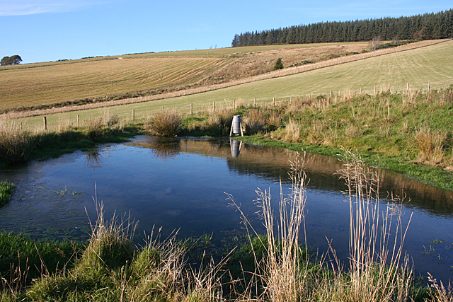
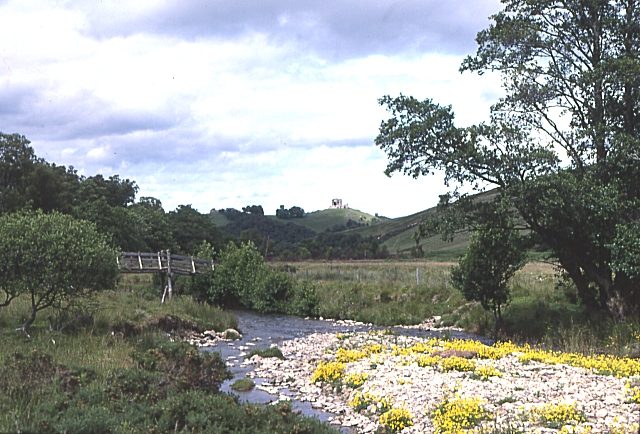
Downs, Moorland in Banffshire
Scotland
Braehead

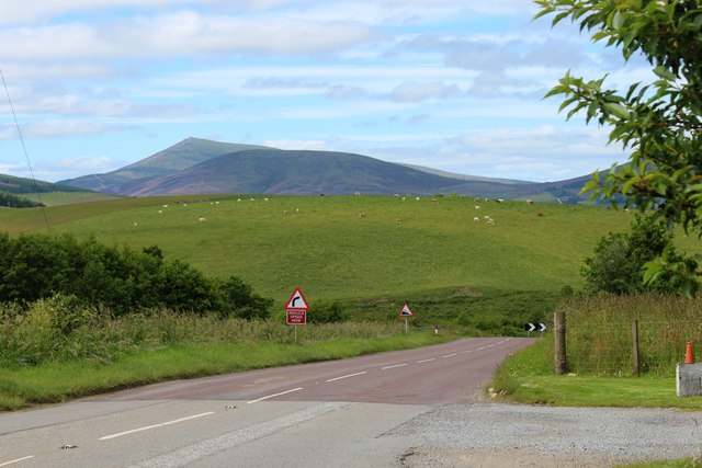
Braehead, located in Banffshire, Scotland, is an idyllic rural area characterized by its beautiful downs and moorland. This scenic region covers a vast expanse dotted with rolling hills, heather-covered moors, and picturesque valleys.
The downs of Braehead offer breathtaking views, with their gentle slopes and lush greenery that stretch as far as the eye can see. These well-maintained grasslands provide an ideal environment for grazing livestock, and the area is known for its thriving sheep farming industry. Visitors to Braehead can enjoy leisurely walks or hikes along the downs, taking in the serene countryside and appreciating the tranquility of nature.
The moorland in Braehead is equally captivating, with its vast expanses of heather and scattered patches of woodland. This rugged and untamed landscape is home to a diverse range of wildlife, including birds, deer, and smaller mammals. Nature enthusiasts can explore the moorland through various walking trails, immersing themselves in the natural beauty and observing the unique flora and fauna that thrive in this environment.
Braehead is also known for its rich history, with several archaeological sites and ancient landmarks scattered throughout the area. These include standing stones, burial mounds, and remnants of ancient settlements, providing intriguing glimpses into the region's past.
Overall, Braehead, Banffshire, offers visitors a chance to escape the hustle and bustle of urban life and immerse themselves in the unspoiled beauty of the downs and moorland.
If you have any feedback on the listing, please let us know in the comments section below.
Braehead Images
Images are sourced within 2km of 57.444183/-3.0762963 or Grid Reference NJ3539. Thanks to Geograph Open Source API. All images are credited.


Braehead is located at Grid Ref: NJ3539 (Lat: 57.444183, Lng: -3.0762963)
Unitary Authority: Moray
Police Authority: North East
What 3 Words
///soulful.full.though. Near Dufftown, Moray
Nearby Locations
Related Wikis

Auchindoun, Moray
Auchindoun (Scottish Gaelic: Achadh an Dùin) is a rural hamlet in Moray, Scotland. It is located some 2.5 miles east of Dufftown, which describes itself...
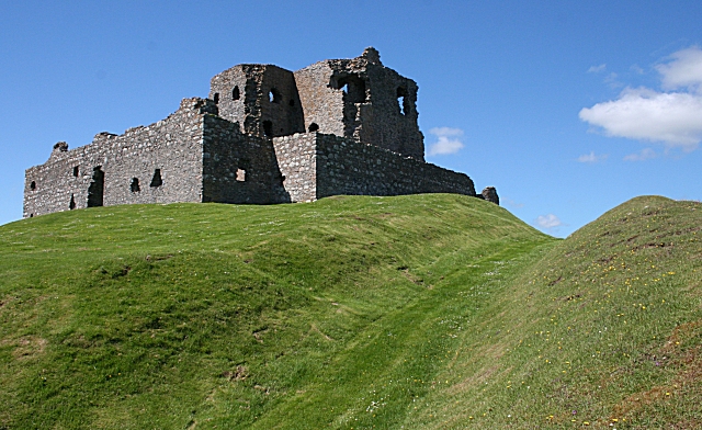
Auchindoun Castle
Auchindoun Castle is a 15th-century L-Plan tower castle located in Auchindoun near Dufftown in Moray, Scotland. == History == While there is evidence of...
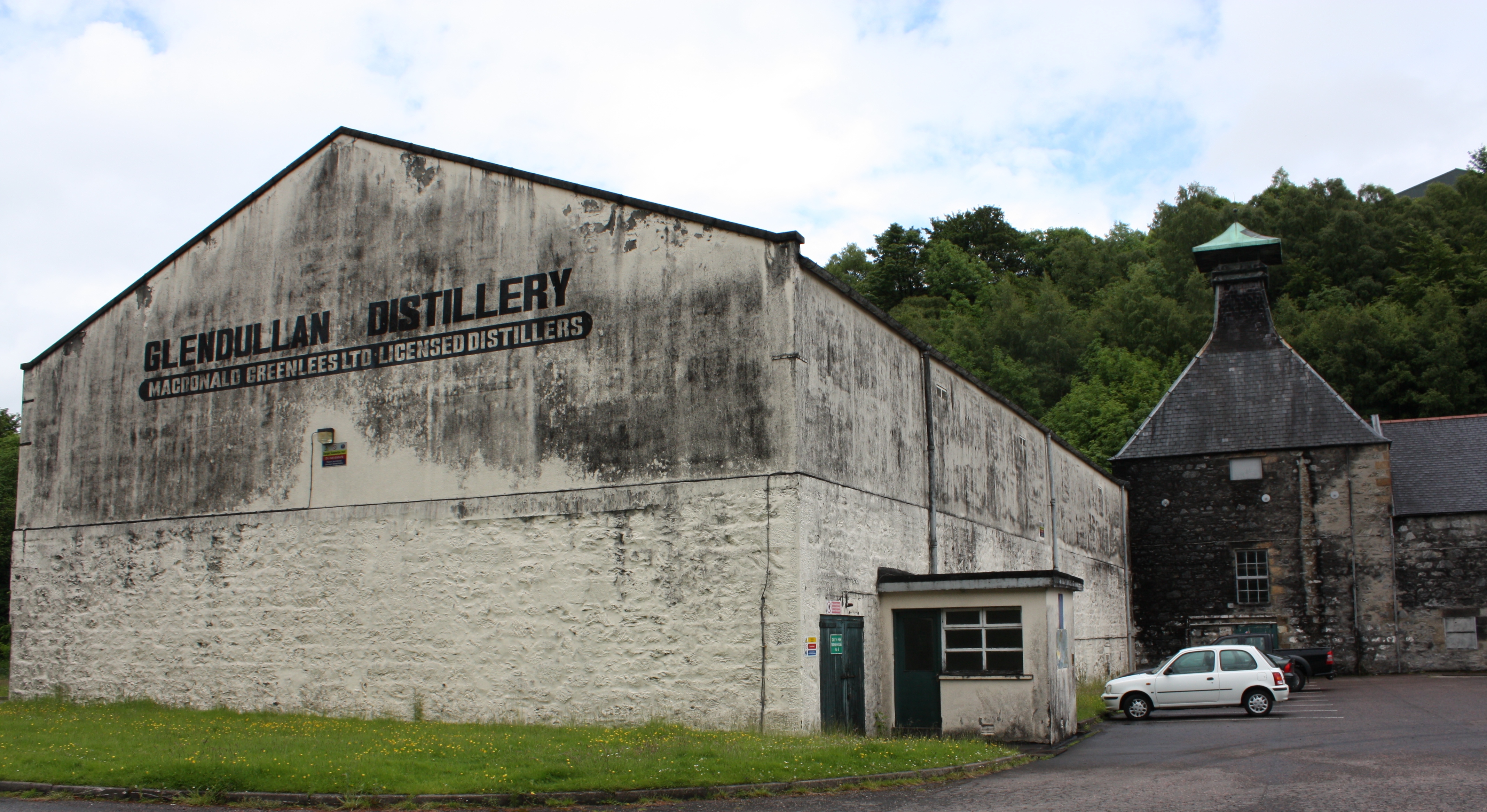
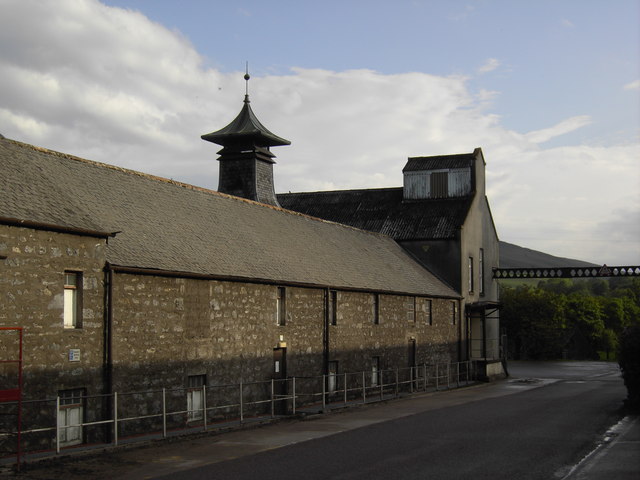
Glendullan distillery
Glendullan distillery is a single malt Scotch whisky distillery in Dufftown, Scotland in the Speyside region. Glendullan is owned by Diageo. == History... ==
River Fiddich
The River Fiddich (Scottish Gaelic: Fiodhach / Abhainn Fhiodhaich) is a right bank tributary of the River Spey in northeast Scotland. It rises on the eastern...
Mortlach distillery
Mortlach distillery is a distiller of Scotch whisky in Dufftown, Moray, Scotland. Founded in 1823, the distillery is currently owned by Diageo. The whisky...
Parkmore distillery
Parkmore distillery was a producer of single malt Scotch whisky that operated between 1894 and 1988. == History == Parkmore was founded in 1894 by the...

Stephen Cottage Hospital
Stephen Hospital is a cottage hospital in Dufftown, Moray, Scotland. It is managed by NHS Grampian. == History == The hospital was endowed by George Stephen...

Balvenie Castle
Balvenie Castle is a ruined castle 1 km north of Dufftown in the Moray region of Scotland. == History == Originally known as Mortlach, it was built in...
Nearby Amenities
Located within 500m of 57.444183,-3.0762963Have you been to Braehead?
Leave your review of Braehead below (or comments, questions and feedback).