Balloch Moss

Downs, Moorland in Angus

Scotland

Balloch Moss

Minor Road at Bridgend of Balloch The house at Bridgend of Balloch stands above a loop of the Quharity Burn, a curious little stream which has at this point emerged from a deep valley before wandering rather aimlessly through this area and then suddenly cutting south through another steep sided valley. All these features must be linked to work by ice and meltwaters.
Minor Road at Bridgend of Balloch Credit: Gordon Hatton

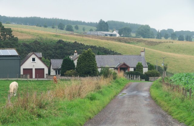
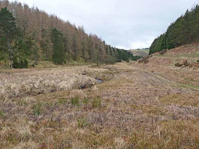
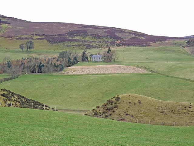
Balloch Moss is a vast expanse of downs and moorland located in Angus, Scotland. Spread across an area of approximately 10 square kilometers, it offers a diverse and picturesque landscape for visitors to explore.

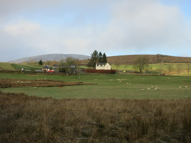
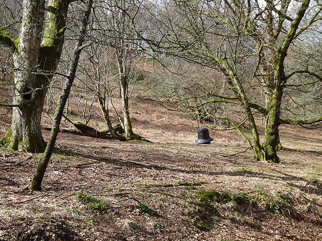
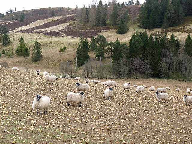
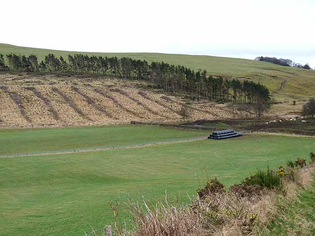
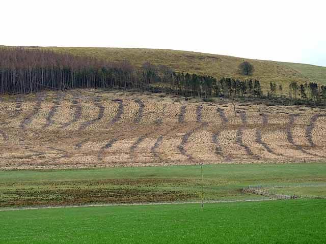
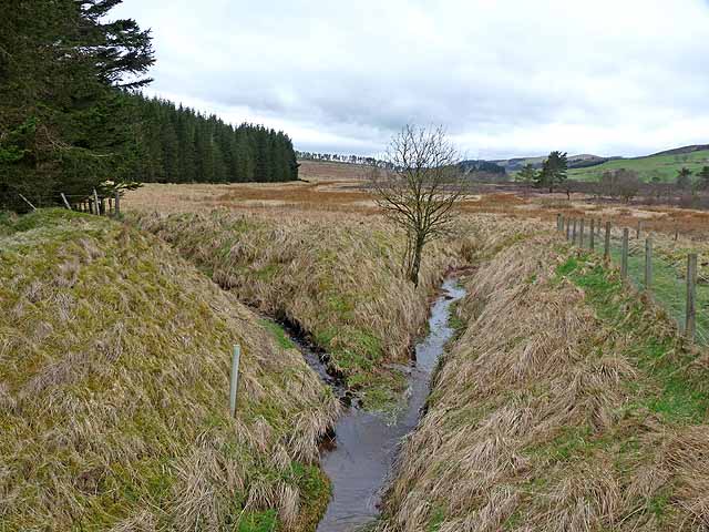
The moss is characterized by its rolling hills, heather-covered moorland, and scattered patches of woodland. It is home to a variety of flora and fauna, making it a paradise for nature lovers and wildlife enthusiasts. The vibrant purple hues of blooming heather in the summer create a stunning visual spectacle that attracts photographers and artists alike.

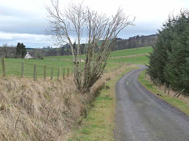
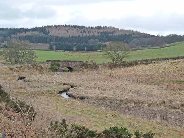
The moss is crisscrossed by a network of walking trails, allowing visitors to immerse themselves in the tranquil beauty of the area. The paths lead through open grasslands, providing panoramic views of the surrounding countryside. During the spring, the moss comes alive with the sounds of chirping birds and buzzing insects, making it an ideal spot for birdwatching and insect observation.

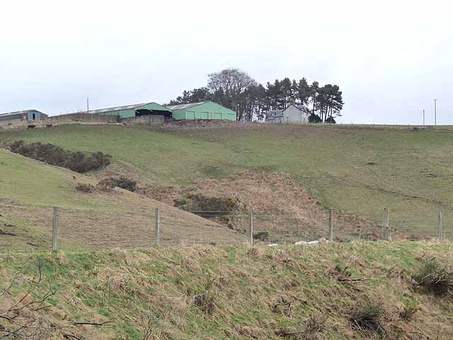
Historically, Balloch Moss has played a significant role in the local community. It was once used for grazing livestock and peat cutting. Today, it serves as a recreational space for locals and tourists alike, providing opportunities for outdoor activities such as hiking, picnicking, and photography.

Balloch Moss is easily accessible by car and public transportation, with parking facilities available nearby. Whether one seeks solace in nature, wishes to explore the local flora and fauna, or simply desires a peaceful retreat, Balloch Moss offers a captivating and enriching experience for all who visit.

If you have any feedback on the listing, please let us know in the comments section below.

Balloch Moss Images

Images are sourced within 2km of 56.704859/-3.0569242 or Grid Reference NO3557. Thanks to Geograph Open Source API. All images are credited.

Minor Road at Bridgend of Balloch The house at Bridgend of Balloch stands above a loop of the Quharity Burn, a curious little stream which has at this point emerged from a deep valley before wandering rather aimlessly through this area and then suddenly cutting south through another steep sided valley. All these features must be linked to work by ice and meltwaters.
Minor Road at Bridgend of Balloch
The house at Bridgend of Balloch stands above a loop of the Quharity Burn, a curious little stream which has at this point emerged from a deep valley before wandering rather aimlessly through this area and then suddenly cutting south through another steep sided valley. All these features must be linked to work by ice and meltwaters.
Mysterious 'tin' building in the woods At least two other contributors have suggested that this may have been a chapel or similar, no doubt due to its appearance. There seems to be no way to verify that as it doesn't appear on any of the OS six inch maps that one can access on line as these only cover the period up to the 1920's. The only thing that is marked within 100m  of here is a gravel pit.
Mysterious 'tin' building in the woods
At least two other contributors have suggested that this may have been a chapel or similar, no doubt due to its appearance. There seems to be no way to verify that as it doesn't appear on any of the OS six inch maps that one can access on line as these only cover the period up to the 1920's. The only thing that is marked within 100m of here is a gravel pit.
Nether Balgray Nether Balgray farm viewed from the road to the south.
Nether Balgray
Nether Balgray farm viewed from the road to the south.
Winter woodland near Pearsie With a pheasant feeder.
Winter woodland near Pearsie
With a pheasant feeder.
Driveway to the Pearsie Estate In Glen Prosen.
Driveway to the Pearsie Estate
In Glen Prosen.
Sheep folded on root crops In the valley of the Quharity Burn.
Sheep folded on root crops
In the valley of the Quharity Burn.
Country road near Over Ascreavie
Clunehill Wood Much of the woodland has now been cleared.
Clunehill Wood
Much of the woodland has now been cleared.
Clunehill Wood Much of the lower part of the wood has now been cleared.
Clunehill Wood
Much of the lower part of the wood has now been cleared.
Bridge over the Quharity Burn The valley of the Quharity Burn which runs along the foot of the Highlands to the north (left) gives the strong impression of having been a glacial overflow channel dating from the Ice Age. The large wood in the distance adjoins the lower end of Glen Prosen.
Bridge over the Quharity Burn
The valley of the Quharity Burn which runs along the foot of the Highlands to the north (left) gives the strong impression of having been a glacial overflow channel dating from the Ice Age. The large wood in the distance adjoins the lower end of Glen Prosen.
Valley of the Quharity Burn The marshy valley of the Quharity Burn which runs along the foot of the Highlands to the north (right) gives the strong impression of having been a glacial overflow channel dating from the Ice Age.
Valley of the Quharity Burn
The marshy valley of the Quharity Burn which runs along the foot of the Highlands to the north (right) gives the strong impression of having been a glacial overflow channel dating from the Ice Age.
Upper Balgray Farm standing at the top of a steep bluff rising from the valley of the Quharity Burn.
Upper Balgray
Farm standing at the top of a steep bluff rising from the valley of the Quharity Burn.
Wester Pearsie Isolated house at the foot of Linkie Hill <a href="https://www.geograph.org.uk/gridref/NO3359">NO3359</a>.
Wester Pearsie
Isolated house at the foot of Linkie Hill NO3359.
Confluence on Balloch Moss Ditches draining this broad marshy area.
Confluence on Balloch Moss
Ditches draining this broad marshy area.
Barns at East Balloch Farm
Bridgend of Pearsie Bungalow in the valley of the Quharity Burn. Airlie Memorial Tower <a href="https://www.geograph.org.uk/gridref/NO3761">NO3761</a> on the skyline.
Bridgend of Pearsie
Bungalow in the valley of the Quharity Burn. Airlie Memorial Tower NO3761 on the skyline.
Bridgend of Balloch Farm in the valley of the Quharity Burn. Just beyond the bridge (to the right, out of sight)) is Bridgend of Pearsie <a href="https://www.geograph.org.uk/photo/2895963">NO3558 : Bridgend of Pearsie</a>. Nether Balgray Farm can be seen up the hillside.
Bridgend of Balloch
Farm in the valley of the Quharity Burn. Just beyond the bridge (to the right, out of sight)) is Bridgend of Pearsie NO3558 : Bridgend of Pearsie. Nether Balgray Farm can be seen up the hillside.
Road to Balloch and Ascreavie The hill on the skyline is the Crandard <a href="https://www.geograph.org.uk/gridref/NO3359">NO3359</a>.
Road to Balloch and Ascreavie
The hill on the skyline is the Crandard NO3359.
Show me another place!

Balloch Moss is located at Grid Ref: NO3557 (Lat: 56.704859, Lng: -3.0569242)

Unitary Authority: Angus

Police Authority: Tayside

What 3 Words

///rigs.pepper.heartened. Near Kirriemuir, Angus

Related Wikis

Ascreavie

Ascreavie is a country house in Angus, Scotland. It is located 2 kilometres (1.2 mi) north of Kirkton of Kingoldrum, and 6 kilometres (3.7 mi) north-west...

Kinnordy House

Kinnordy House (alternative spellings: Kynnordy, Kinardy, Kinnordie and Kinorde) is an estate house near Kirriemuir in Angus, Scotland. The first house...

Kirkton of Kingoldrum

Kirkton of Kingoldrum is a village in Angus, Scotland. It lies in approximately four miles (6 km) west of Kirriemuir on the B951 road. == References ==

Balfour Castle, Angus

Balfour Castle was a baronial mansion at Balfour Mains, near Kirkton of Kingoldrum, Angus, Scotland. The castle which was built in the 16th century is...

Loch of Kinnordy

Loch of Kinnordy is a small loch located just west of town of Kirriemuir in Angus, Scotland, which is an important wildlife habitat. The loch itself is...

Mile Hill, Dykehead

There is another Mile Hill nearby which is a MarilynMile Hill is located in Angus, Scotland, 1000 metres west of Dykehead. It is a circular hill rising...

Cortachy

Cortachy is a village in Angus, Scotland. It lies in at the mouth of Glen Clova, on the River South Esk, four miles north of Kirriemuir. Nearby lies Cortachy...

Kirriemuir Thistle F.C.

Kirriemuir Thistle Football Club are a Scottish junior football club based in Kirriemuir, Angus. Their home ground is Westview Park. Up until the end of...

Nearby Amenities

Located within 500m of 56.704859,-3.0569242
East Balloch
Place: isolated_dwelling
Lat/Long: 56.7071932/-3.0545135
Power: pole
Lat/Long: 56.7057219/-3.0646575
Power: pole
Lat/Long: 56.7059332/-3.0634495
Power: pole
Lat/Long: 56.7062113/-3.0622835
Power: pole
Lat/Long: 56.7064943/-3.0611086
Power: pole
Lat/Long: 56.7067712/-3.0599559
Power: pole
Lat/Long: 56.7070408/-3.0588231
Power: pole
Lat/Long: 56.7073226/-3.0576438
Power: pole
Lat/Long: 56.7075995/-3.0564977
Power: pole
Lat/Long: 56.7078436/-3.0553561
Power: pole
Lat/Long: 56.7080902/-3.0542012
Power: pole
Lat/Long: 56.7083525/-3.0529511
The data included in this document is from www.openstreetmap.org. The data is made available under ODbL.

Have you been to Balloch Moss?

Leave your review of Balloch Moss below (or comments, questions and feedback).