Huntspill Moor
Downs, Moorland in Somerset Sedgemoor
England
Huntspill Moor
Huntspill Moor is a vast expanse of wetland and moorland located in the county of Somerset, England. Covering an area of approximately 1,400 hectares, it is situated near the small village of West Huntspill, between the Quantock Hills and the Bristol Channel.
The moorland is primarily composed of peat and is characterized by its unique flora and fauna. It is home to a variety of rare and protected species, making it a significant site for biodiversity conservation. The wetland areas are particularly important for waterfowl and wading birds, attracting a diverse range of species throughout the year.
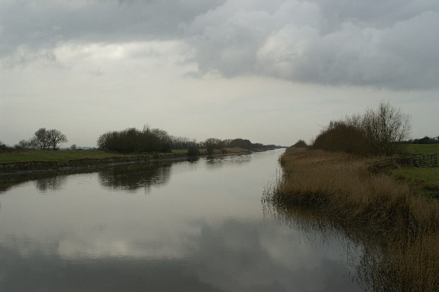
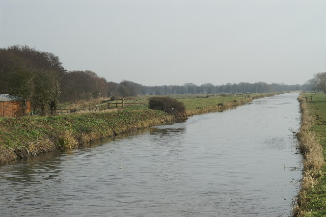
The landscape of Huntspill Moor is dominated by expanses of open grassland, interspersed with areas of reedbeds, wet meadows, and small pools. It is crisscrossed by drainage ditches and canals, which are managed to maintain the delicate balance of water levels required by the diverse range of plant and animal life.
The moor is also of historical and archaeological interest, with evidence of human activity dating back to the Bronze Age. There are several scheduled ancient monuments within the area, including a prehistoric trackway and a Roman salt production site, which provide insights into the region's past.
Huntspill Moor is a popular destination for nature enthusiasts and birdwatchers, who can explore its many footpaths and trails. It offers a peaceful and serene environment, allowing visitors to appreciate the beauty and tranquility of this unique landscape.
If you have any feedback on the listing, please let us know in the comments section below.
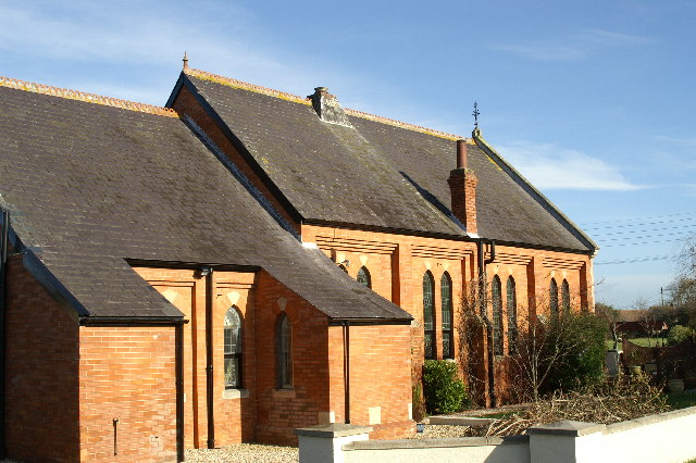
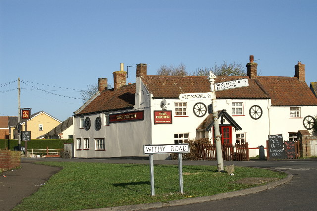
Huntspill Moor Images
Images are sourced within 2km of 51.192818/-2.9264128 or Grid Reference ST3544. Thanks to Geograph Open Source API. All images are credited.


Huntspill Moor is located at Grid Ref: ST3544 (Lat: 51.192818, Lng: -2.9264128)
Administrative County: Somerset
District: Sedgemoor
Police Authority: Avon and Somerset
What 3 Words
///perfected.reply.cover. Near Woolavington, Somerset
Nearby Locations
Related Wikis
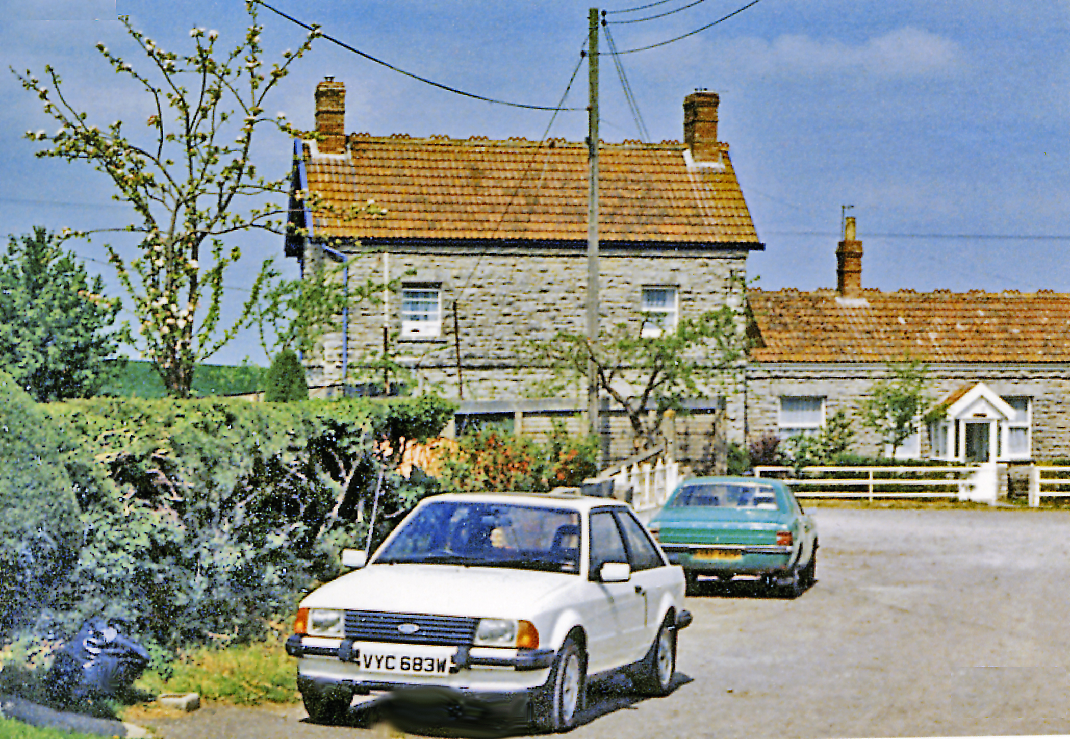
East Huntspill
East Huntspill is a village and civil parish on the Huntspill Level, near Highbridge, Somerset, England. The civil parish includes Cote, Hackness and Bason...
South Drain (river)
The South Drain flows in a generally north-westerly direction from Actis Tunnel to Gold Corner, where it moves on to the Huntspill River, in Somerset,...
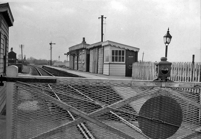
Bason Bridge railway station
Bason Bridge railway station was a station on the Highbridge branch of the Somerset and Dorset Joint Railway, serving the village of East Huntspill. Opened...
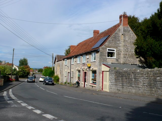
Woolavington
Woolavington is a village and civil parish on the Somerset Levels in the English county of Somerset. It is 5.2 miles (8.4 km) north east of Bridgwater...

Somerset Levels
The Somerset Levels are a coastal plain and wetland area of Somerset, England, running south from the Mendips to the Blackdown Hills. The Somerset Levels...
ROF Bridgwater
Royal Ordnance Factory (ROF) Bridgwater was a factory between the villages of Puriton and Woolavington in the Sedgemoor district of Somerset, England that...
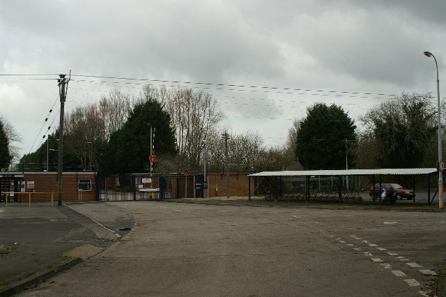
Cossington railway station
Cossington railway station was a station at Cossington on the Bridgwater branch of the Somerset and Dorset Joint Railway, built to link the line at Edington...

Cossington, Somerset
Cossington is a village and civil parish close to Woolavington and 5 miles (8 km) north of Bridgwater, in Somerset, England. The village lies on the north...
Nearby Amenities
Located within 500m of 51.192818,-2.9264128Have you been to Huntspill Moor?
Leave your review of Huntspill Moor below (or comments, questions and feedback).