Braeside of Cults
Downs, Moorland in Fife
Scotland
Braeside of Cults
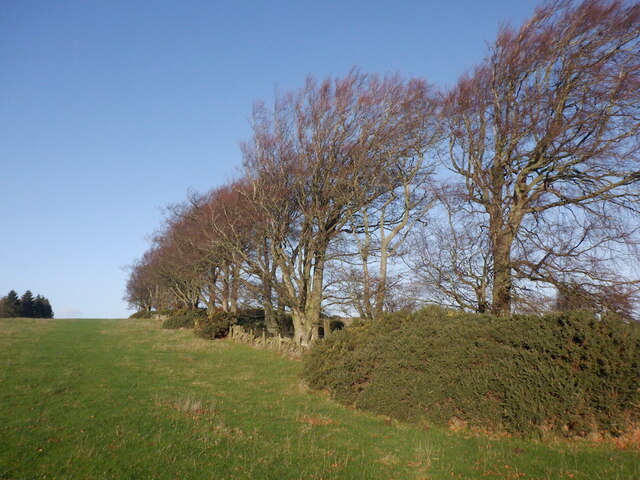
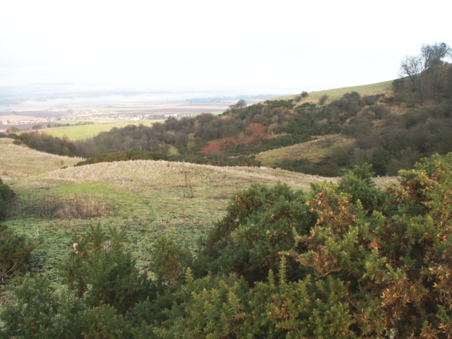
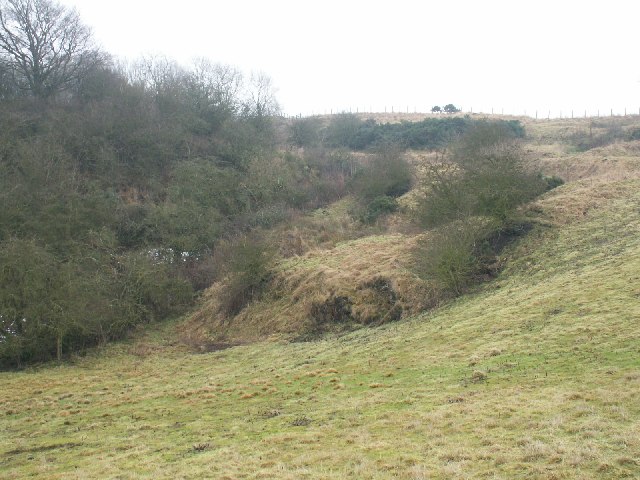
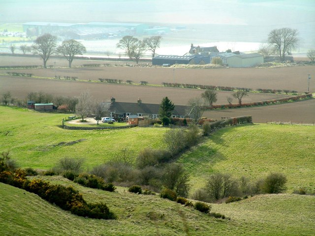
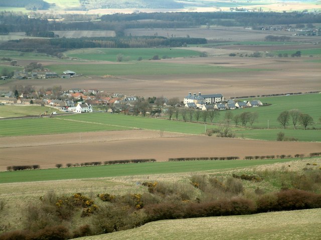
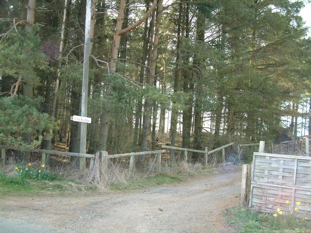
Braeside of Cults is a picturesque location situated in the region of Fife, Scotland. Nestled amidst rolling hills and serene moorland, it offers a tranquil and idyllic setting for visitors and residents alike. The area is renowned for its natural beauty, with stunning views of the surrounding countryside and a rich tapestry of flora and fauna.
The Downs, as it is commonly referred to, is an expansive area of open land characterized by its gently undulating terrain. It is home to a variety of plant species, including heather, gorse, and wildflowers, which bloom in vibrant colors during the summer months. This makes it a popular spot for nature enthusiasts and walkers, who can explore the network of paths and trails that crisscross the landscape.
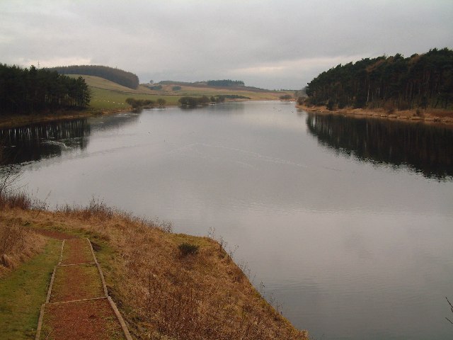
The Moorland, on the other hand, presents a more rugged and wild aspect of Braeside of Cults. Here, visitors can experience the raw beauty of Scotland's untamed wilderness, with vast expanses of heathland and peat bogs. It is a haven for birdwatchers, as the moorland attracts a wide range of avian species, including golden plovers, curlews, and red grouse.
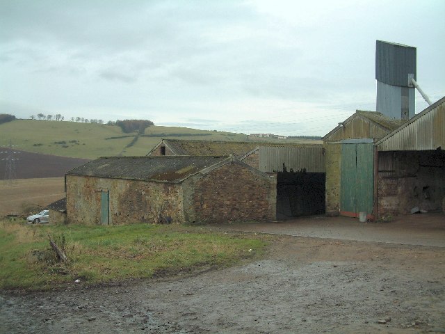
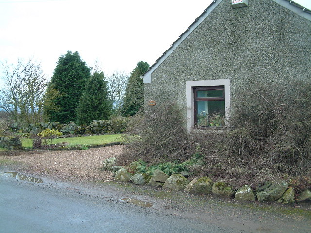
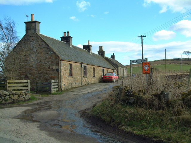
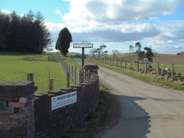
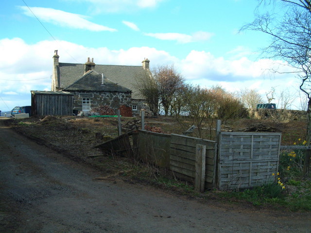
Braeside of Cults offers a peaceful retreat from the hustle and bustle of urban life. The area is sparsely populated, with only a handful of scattered cottages and farmsteads dotting the landscape. This sense of seclusion adds to its charm, making it a popular destination for those seeking a quiet escape in the heart of nature.
Overall, Braeside of Cults is a hidden gem in Fife, offering visitors the opportunity to immerse themselves in the beauty of Scotland's countryside. Whether exploring the Downs or venturing into the untamed moorland, this tranquil location provides a unique and unforgettable experience for all who visit.
If you have any feedback on the listing, please let us know in the comments section below.
Braeside of Cults Images
Images are sourced within 2km of 56.264564/-3.0482549 or Grid Reference NO3508. Thanks to Geograph Open Source API. All images are credited.


Braeside of Cults is located at Grid Ref: NO3508 (Lat: 56.264564, Lng: -3.0482549)
Unitary Authority: Fife
Police Authority: Fife
What 3 Words
///mouth.jousting.settle. Near Kingskettle, Fife
Nearby Locations
Related Wikis

Priestfield House
Priestfield House was a Victorian Country House near Cults, Fife, Scotland. == History == The estate, originally an outlying property of Crawford Priory...

Pitlessie
Pitlessie is a small village in Cults, Fife, Scotland. It is roughly 4+1⁄2 miles (7 km) southwest of the nearest large town, Cupar, and 23 miles (37 kilometres...

St Andrews Burghs (UK Parliament constituency)
St Andrews Burghs was a district of burghs constituency, representing various burghs of Fife, Scotland, in the House of Commons of the Parliament of the...
Balmalcolm
Balmalcolm is a small village in the Kettle parish of Fife, Scotland. Encompassed by the low-lying Howe of Fife, the village is roughly 5+1⁄2 miles (9...

Scotstarvit Tower
Scotstarvit Tower is a tower house in Fife, Scotland. It is situated 2 miles (3.2 km) south of Cupar, between Tarvit Hill and Walton Hill, south of the...
Springfield railway station (Scotland)
Springfield railway station serves the village of Springfield in Fife, Scotland. The station has two platforms and is unstaffed. Services are operated...

Springfield, Fife
Springfield is a village that lies at the edge of the Howe of Fife, to the south-west of the town of Cupar, Fife, Scotland. The origin of the community...

Kingskettle
Kingskettle or often simply Kettle is a village and parish in Fife, Scotland. Encompassed by the Howe of Fife, the village is approximately 5.5 miles...
Nearby Amenities
Located within 500m of 56.264564,-3.0482549Have you been to Braeside of Cults?
Leave your review of Braeside of Cults below (or comments, questions and feedback).